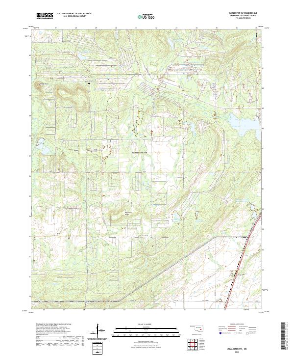
2022 Map of McAlester SW
USGS Topo · Published 2022About this map
Whiskey Knob and Big Prairie Ridge define the local topography in this portion of Pittsburg County, where the landscape is heavily influenced by water management and rural road networks. The area is marked by numerous numbered reservoirs, including Reservoir Number One and the expansive Brushy Peaceable Cr Site 37 Reservoir, illustrating the region's hydraulic infrastructure. This modern survey by the U.S. Geological Survey shows a transition from high ground at Coal Hill to the drainage basins of Peaceable Cr and N Boggy Cr. Local history and genealogy interest is anchored by the Memorial Cem, situated along RD 3. The grid-like road system, featuring routes like Ashland Rd and C Tree Rd, connects small lakes and ridges across several township and range boundaries.
Find a feature on this map
42 named features on this map. Tap any name to fly to it.
Don’t see what you’re looking for? This feature index may not catch every label — zoom into the map to look around manually.
Map Details
Editions of this 2022 McAlester SW Map
This is the sole edition of this map. No revisions or reprints were ever made.
Other maps of this area

1896 · Coalgate
USGS Topo · 1:125,000

1898 · McAlester
USGS Topo · 1:125,000

1899 · Coalgate
USGS Topo · 1:125,000

1900 · Coalgate
USGS Topo · 1:125,000

1909 · Mc Alester
USGS Topo · 1:125,000

1950 · Mcalester
USGS Topo · 1:250,000

1957 · Ardmore
USGS Topo · 1:250,000

1962 · McAlester
USGS Topo · 1:250,000

1963 · Ardmore
USGS Topo · 1:250,000

1965 · McAlester
USGS Topo · 1:250,000