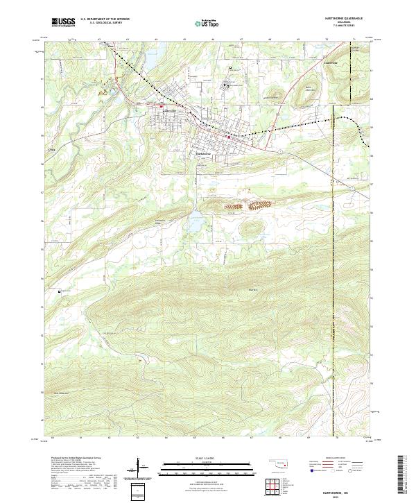
2022 Map of Hartshorne
USGS Topo · Published 2022About this map
Hartshorne and Haileyville form a dense corridor of residential and commercial development along the northern edge of the Limestone Ridge. This area is characterized by its systematic grid of streets, including Main St and Parkway Ave, which serves as a historical core surrounded by several outlying settlements like Dow, Craig, and Centerville. The landscape is defined by its complex topography, where the developed valleys contrast with prominent elevations such as Belle Starr Mtn, Round Top Mtn, and Number Ten Mtn.
Find a feature on this map
118 named features on this map. Tap any name to fly to it.
Don’t see what you’re looking for? This feature index may not catch every label — zoom into the map to look around manually.
Map Details
Editions of this 2022 Hartshorne Map
This is the sole edition of this map. No revisions or reprints were ever made.
Other maps of this area

1898 · McAlester
USGS Topo · 1:125,000

1901 · Tuskahoma
USGS Topo · 1:125,000

1908 · Tuskahoma
USGS Topo · 1:125,000

1909 · Mc Alester
USGS Topo · 1:125,000

1909 · Tuskahoma
USGS Topo · 1:125,000

1950 · Mcalester
USGS Topo · 1:250,000

1962 · McAlester
USGS Topo · 1:250,000

1965 · McAlester
USGS Topo · 1:250,000

1967 · Krebs
USGS Topo · 1:24,000
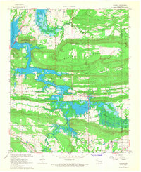
1967 · Adamson
USGS Topo · 1:24,000