Old Maps of Canadian Shores, Oklahoma for Metal Detecting
Plan your next treasure hunt with 12 historic maps of Canadian Shores. Find old homesites, ghost towns, trails, and gathering spots that may be lost to time — perfect for identifying promising metal detecting locations.
- Locate forgotten sites: Uncover places like long-lost settlements, abandoned rail lines, or gathering spots.
- Plan better hunts: Use map overlays combined with LiDAR or satellite views to narrow in on historically rich areas.
- Made for detectorists: Thousands of hobbyists use these maps to discover relics, coins, and hidden history.
Use these historic maps to boost your research and find new opportunities beneath the surface of Canadian Shores.
Canadian Shores, OK maps
(12)- 1900 Map of Canadian
 1900 Canadian1900 Print · USGSIndian Territory at the turn of the century shows a landscape of tribal nations and developing rail towns along the CANADIAN RIVER. Genealogists and historians can trace early settlements like Fishertown and Indianola or the original Creek Nation Choctaw Nation Boundary Line.6 unique versions available
 - 1946 Map of Fort Smith
 1946 Fort Smith1946 Print · USGSThe Arkansas-Oklahoma borderlands appear here in the mid-forties, as new reservoirs began to transform the river valleys. Genealogists and historians can trace rail-served towns from Muskogee to Fort Smith and locate landmarks like Camp Chaffee.
 - 1965 Map of Fort Smith
 1965 Fort Smith1965 Print · USGSEastern Oklahoma and Western Arkansas are captured here during a period of massive post-war change as new reservoirs reshaped the river valleys. Genealogists and historians can trace the rail networks of the Midland Valley RR and find established communities like Stilwell, Sallisaw, and Stigler.
 - 1967 Map of Fort Smith
 1967 Fort Smith1967 Print · USGSThe Arkansas River valley and the foothills of the Ozarks are captured here during a period of significant military and industrial activity. Researchers can trace the sprawling bounds of Camp Chaffee and Camp Gruber or locate vanished rail stops along the Midland Valley RR.
 - 1971 Map of Canadian, 1972 Print
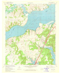 1971 Canadian1972 Print · USGSThe shorelines of the McIntosh and Pittsburg county line are captured here in the early 1970s as new reservoirs reshaped the land. Researchers can trace family history through sites like Masonic Cem or the rural settlement at Mellette, and follow the path of the Missouri Kansas Texas line.2 unique versions available
 - 1978 Map of Eufaula, 1979 Print
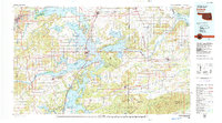 1978 Eufaula1979 Print · USGSEastern Oklahoma in the late seventies is defined by the sprawling waters of Eufaula Lake and the dense timber of the Sans Bois Mountains. Genealogists and historians can trace the development of towns like Checotah and Stigler or locate legacy sites like the Old R R Grade and Robbers Cave State Park.
 - 1978 Map of Fort Smith, 1979 Print
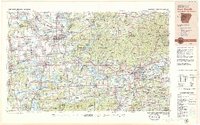 1978 Fort Smith1979 Print · USGSThe Arkansas-Oklahoma borderlands in the late seventies show a landscape shaped by massive river reservoirs and sprawling military reservations. Trace the historic rail lines of the Missouri Pacific RR and locate regional landmarks like Fort Gibson, Tenkiller Ferry Lake, and Barling.2 unique versions available
 - 2010 Map of Canadian, 2010 Print
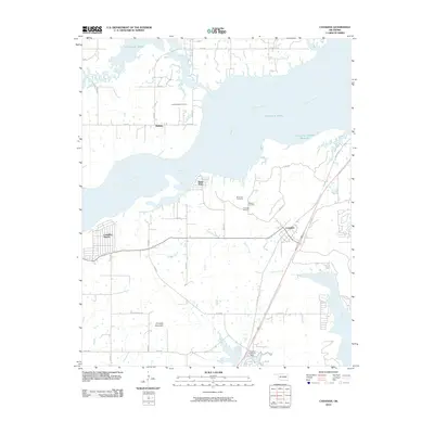 2010 Canadian2010 Print · USGSThe shorelines of Pittsburg County are captured here just after the turn of the millennium as residential communities grew around the lake. Researchers can locate several burial grounds including Masonic Cemetery and Red Oak Cemetery, or trace the old routes of Old Hwy 69 and Nale Rd.
 - 2012 Map of Canadian, 2012 Print
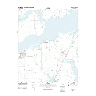 2012 Canadian2012 Print · USGSOklahoma's lakefront settlements and tribal boundaries are captured in this early twenty-first-century survey of the Pittsburg County shoreline. Researchers can trace family history through sites like New Mellette Cem and Masonic Cem or explore the development of Canadian and Crowder.
 - 2016 Map of Canadian, 2016 Print
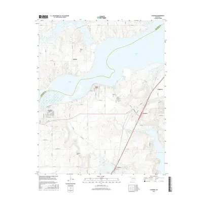 2016 Canadian2016 Print · USGSThe shoreline of Eufaula Lake in the mid-2010s reveals a landscape shaped by water and local memory. Genealogists and historians can trace the locations of New Mellette Cem and Masonic Cem, or explore the lakeside settlements of Canadian Shores and Crowder.
 - 2018 Map of Canadian, 2018 Print
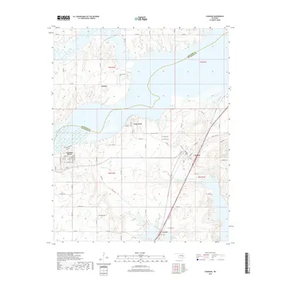 2018 Canadian2018 Print · USGSThe shorelines of Pittsburg County were shaped by the waters of the Canadian River long before this modern era of recreation and rural settlement. Genealogists can trace family roots at Masonic Cem and Mellette Cem or explore the growth of Crowder and Canadian.
 - 2022 Map of Canadian, 2022 Print
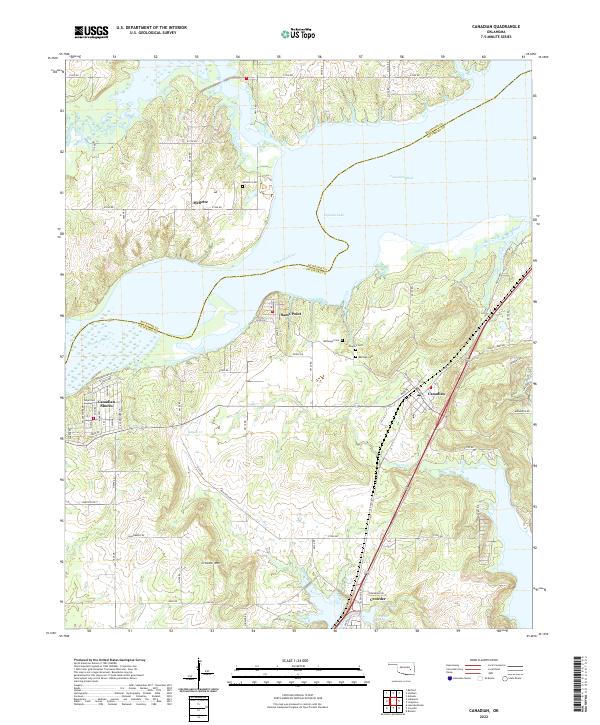 2022 Canadian2022 Print · USGSThe shoreline of Eufaula Lake in the early 2020s reveals a landscape defined by small lakeside communities and deep-rooted local history. Genealogists and researchers can locate established burial sites like Mellette Cem and Masonic Cem or trace the development of Canadian Shores and Crowder.
End of results
Showing maps 1-12 of 12
Top cities near Canadian Shores
- McAlester historical maps
- Henryetta historical maps
- Eufaula historical maps
- Krebs historical maps
- Crowder historical maps
- Canadian historical maps
See more
Frequently asked questions
- What are the different types of historical maps available for Canadian Shores?
- What is the oldest map of Canadian Shores?
- Where can I purchase historical maps of Canadian Shores for my home or office?
- Where can I download high-res historical maps of Canadian Shores?
- Are there historical topographic maps available for Canadian Shores?
- Is there historical aerial imagery available for Canadian Shores?
- Where are historical maps of Canadian Shores sourced from?