2000s (21st Century) Maps of Pushmataha County, Oklahoma
Explore 175 historic maps of Pushmataha County from the 2000s (21st Century). These maps offer a rare glimpse into what life looked like during the 2000s — showing old roads, neighborhoods, homes, and landmarks that have changed or disappeared over time.
Whether you're researching your family's past, planning a metal detecting trip, or studying how Pushmataha County's landscape evolved across the 2000s, these high-resolution maps are a powerful tool for exploring the history of this region.
- Focus on a specific era: All maps on this page are from the 2000s, giving you a focused view of this time period.
- See what’s changed: Compare century-old streets, trails, and buildings to today's modern landscape using overlays and satellite layers.
- Research with precision: Use these maps for genealogy, historical research, land use analysis, or educational projects.
- View, download, or print: Maps are fully viewable online in high resolution, and can be downloaded or printed for your own records.
Start exploring Pushmataha County's history through authentic maps from the 2000s. This is your window into the past.
Pushmataha County, OK maps
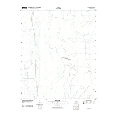
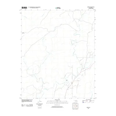
(175)- 2009 Map of Clebit, 2009 Print
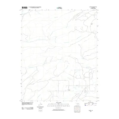 2009 Clebit2009 Print · USGSCovers Pushmataha County, including Clebit, Pickens, and other nearby areas
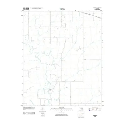
 - 2009 Map of Daisy, 2009 Print
 2009 Daisy2009 Print · USGSCovers Pushmataha County, including Goss, Daisy, and other nearby areas
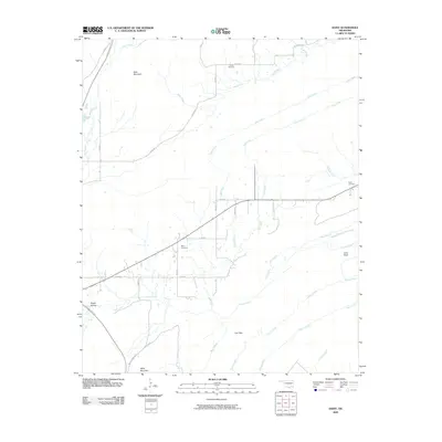
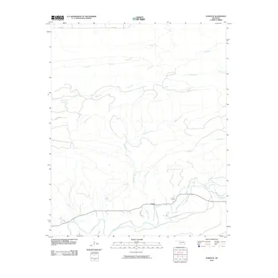
 - 2009 Map of Darwin, 2009 Print
 2009 Darwin2009 Print · USGSCovers Pushmataha County, including Darwin, Sand Bluff, and other nearby areas
 - 2009 Map of Counts, 2009 Print
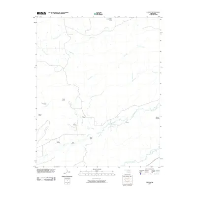 2009 Counts2009 Print · USGSCovers Pushmataha County, including Star, Counts, and other nearby areas
 - 2009 Map of Jumbo, 2009 Print
 2009 Jumbo2009 Print · USGSCovers Pushmataha County, including Jumbo, United States, and other nearby areas
 - 2009 Map of Finley, 2009 Print
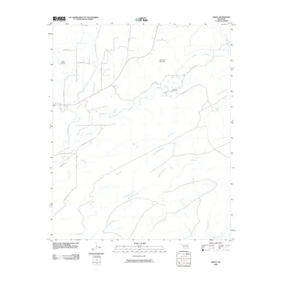 2009 Finley2009 Print · USGSCovers Pushmataha County, including Finley, United States, and other nearby areas
 - 2009 Map of Cloudy, 2009 Print
 2009 Cloudy2009 Print · USGSCovers Pushmataha County, including Cloudy, United States, and other nearby areas
 - 2009 Map of Antlers West, 2009 Print
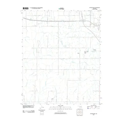 2009 Antlers West2009 Print · USGSCovers Pushmataha County, including Antlers, Nelson, and other nearby areas
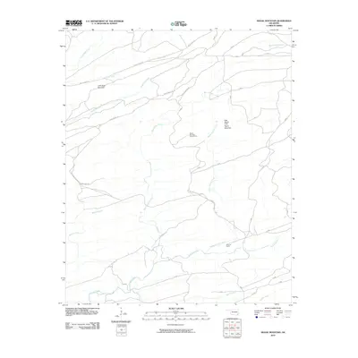
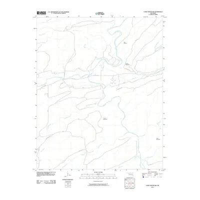
 - 2010 Map of Wildhorse Mountain, 2010 Print
 2010 Wildhorse Mountain2010 Print · USGSCovers Pushmataha County, including Divide, United States, and other nearby areas
 - 2010 Map of Lane NE, 2010 Print
 2010 Lane NE2010 Print · USGSCovers Pushmataha County, including Atoka County, United States, and other nearby areas
 - 2010 Map of Sobol, 2010 Print
 2010 Sobol2010 Print · USGSCovers Pushmataha County, including Burwell, Ringold, and other nearby areas
 - 2010 Map of Spencerville, 2010 Print
 2010 Spencerville2010 Print · USGSCovers Pushmataha County, including High Hill, Corinne, and other nearby areas
 - 2010 Map of Honobia, 2010 Print
 2010 Honobia2010 Print · USGSCovers Pushmataha County, including Honobia, LeFlore County, and other nearby areas
 - 2010 Map of Sardis, 2010 Print
 2010 Sardis2010 Print · USGSCovers Pushmataha County, including Sardis, Latimer County, and other nearby areas
 - 2010 Map of Yanush, 2010 Print
 2010 Yanush2010 Print · USGSCovers Pushmataha County, including Yanush, Latimer County, and other nearby areas
 - 2010 Map of Farris, 2010 Print
 2010 Farris2010 Print · USGSCovers Pushmataha County, including Farris, Atoka County, and other nearby areas
 - 2010 Map of Signal Mountain, 2010 Print
 2010 Signal Mountain2010 Print · USGSCovers Pushmataha County, including McCurtain County, United States, and other nearby areas
 - 2010 Map of Redden, 2010 Print
 2010 Redden2010 Print · USGSCovers Pushmataha County, including Redden, Pittsburg County, and other nearby areas
 - 2010 Map of Nashoba, 2010 Print
 2010 Nashoba2010 Print · USGSCovers Pushmataha County, including Nashoba, Nolia, and other nearby areas
 - 2010 Map of Alikchi, 2010 Print
 2010 Alikchi2010 Print · USGSCovers Pushmataha County, including Alikchi, McCurtain County, and other nearby areas
 - 2010 Map of Snow, 2010 Print
 2010 Snow2010 Print · USGSCovers Pushmataha County, including Snow, United States, and other nearby areas
 - 2010 Map of Albion SE, 2010 Print
 2010 Albion SE2010 Print · USGSCovers Pushmataha County, including Fewell, McCurtain County, and other nearby areas
 - 2010 Map of Caney Mountain, 2010 Print
 2010 Caney Mountain2010 Print · USGSCovers Pushmataha County, including United States, Oklahoma, and other nearby areas
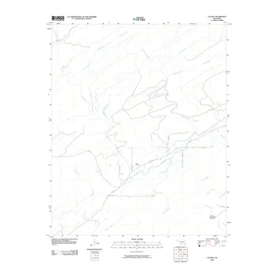
 - 2010 Map of Clayton, 2010 Print
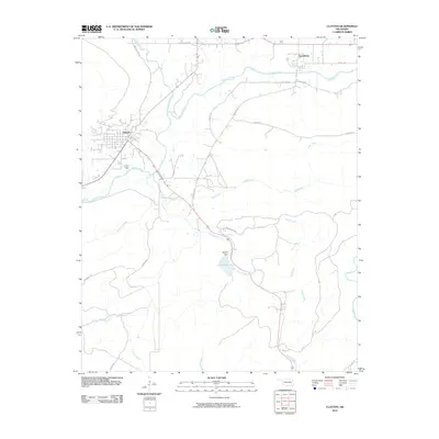 2010 Clayton2010 Print · USGSCovers Pushmataha County, including Clayton, Tuskahoma, and other nearby areas
 - 2010 Map of Antlers East, 2010 Print
 2010 Antlers East2010 Print · USGSCovers Pushmataha County, including Antlers, Hamden, and other nearby areas
Showing maps 1-25 of 175
Top cities of Pushmataha County
Frequently asked questions
- What are the different types of historical maps available for Pushmataha County?
- What is the oldest map of Pushmataha County?
- Where can I purchase historical maps of Pushmataha County for my home or office?
- Where can I download high-res historical maps of Pushmataha County?
- Are there historical topographic maps available for Pushmataha County?
- Is there historical aerial imagery available for Pushmataha County?
- Where are historical maps of Pushmataha County sourced from?