2010s Maps of Pushmataha County, Oklahoma
Explore 132 historic maps of Pushmataha County from the 2010s. These maps offer a rare glimpse into what life looked like during the 2010s — showing old roads, neighborhoods, homes, and landmarks that have changed or disappeared over time.
Whether you're researching your family's past, planning a metal detecting trip, or studying how Pushmataha County's landscape evolved across the 2010s, these high-resolution maps are a powerful tool for exploring the history of this region.
- Focus on a specific era: All maps on this page are from the 2010s, giving you a focused view of this time period.
- See what’s changed: Compare century-old streets, trails, and buildings to today's modern landscape using overlays and satellite layers.
- Research with precision: Use these maps for genealogy, historical research, land use analysis, or educational projects.
- View, download, or print: Maps are fully viewable online in high resolution, and can be downloaded or printed for your own records.
Start exploring Pushmataha County's history through authentic maps from the 2010s. This is your window into the past.
Pushmataha County, OK maps
(132)- 2010 Map of Wildhorse Mountain, 2010 Print
 2010 Wildhorse Mountain2010 Print · USGSOklahoma's mountain country comes into focus in this 2010 survey of the terrain near Divide. Local historians can trace early forest management and water features across Wildhorse Mountain, the Cloudy Lookout Tower, and the Pryor Creek Site 31 Dam.
 - 2010 Map of Lane NE, 2010 Print
 2010 Lane NE2010 Print · USGSPushmataha County at the end of the first decade of the 2000s remains a landscape of deep creek valleys and named hollows. Local historians and genealogists can pinpoint Impson Church and trace the winding paths of Greasy Bend Rd and Soloman Rd.
 - 2010 Map of Sobol, 2010 Print
 2010 Sobol2010 Print · USGSSoutheast Oklahoma in the early twenty-first century remains a landscape of deep woods and creek-side settlements. Genealogists and local historians can locate several rural burial grounds, including Ringold Cemetery and Rufe Cemetery, or trace old timber routes like Tram Rd.
 - 2010 Map of Spencerville, 2010 Print
 2010 Spencerville2010 Print · USGSChoctaw County’s rural landscape is documented here in the early twenty-first century as the traditional creek-side settlements maintain their character. Researchers can find family burial grounds like Spencerville Cemetery and Corinne Cemetery or trace the drainage of Spencer Creek to the High Bridge.
 - 2010 Map of Honobia, 2010 Print
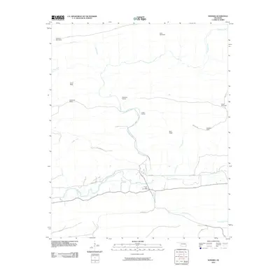 2010 Honobia2010 Print · USGSThe Kiamichi Mountains of southeastern Oklahoma are mapped here during the early twenty-first century, showing a landscape defined by ridges and river valleys. Researchers can trace the rugged local geography through family-named landmarks like Smith Ridge and remote sites such as Christs Forty Acres Camp.
 - 2010 Map of Sardis, 2010 Print
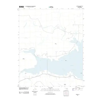 2010 Sardis2010 Print · USGSSardis and the surrounding Pushmataha County highlands are shown here following the late-century development of the local reservoir. Researchers can pinpoint Borden Cemetery and Anderson Cemetery or trace the winding course of Jackfork Creek into Sardis Lake.
 - 2010 Map of Yanush, 2010 Print
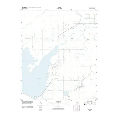 2010 Yanush2010 Print · USGSLatimer County's landscape is defined by the waters of the Kiamichi valley and Choctaw heritage in the early twenty-first century. Genealogists and local historians can locate several rural burial grounds such as Hokit Cemetery and the Old Choctaw Indian Council House near Yanush.
 - 2010 Map of Farris, 2010 Print
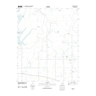 2010 Farris2010 Print · USGSFarris and the surrounding Atoka County countryside appear here in the early twenty-first century, showing a landscape defined by timbered hills and numerous creek branches. Researchers can locate family landmarks like Sugarloaf Cemetery, Zoraya Cemetery, and the heights of Long Mountain.
 - 2010 Map of Signal Mountain, 2010 Print
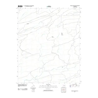 2010 Signal Mountain2010 Print · USGSMcCurtain County's upland forests are documented here during the early twenty-first century, showing a landscape defined by ridgelines and remote ranching. You can trace the path to the Signal Mountain Lookout Tower or locate landmarks like Brannon Ranch and John Noah Mountain.
 - 2010 Map of Redden, 2010 Print
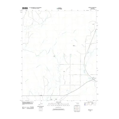 2010 Redden2010 Print · USGSSoutheastern Oklahoma’s rural landscape is captured here in the early twenty-first century, showing the intersection of modern transit and deep-rooted local history. Genealogists can locate Hewitt Cemetery and Baker Cemetery, while explorers can trace McGee Creek through McGee Valley.
 - 2010 Map of Nashoba, 2010 Print
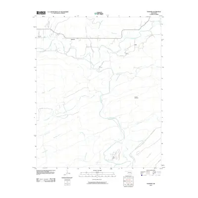 2010 Nashoba2010 Print · USGSNashoba and the surrounding Pushmataha County backcountry are documented here in the early 21st century. Genealogists and local historians can trace family roots at Black Fork Cemetery and Nolia Cemetery or locate old crossings along the Little River.
 - 2010 Map of Alikchi, 2010 Print
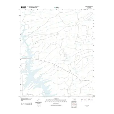 2010 Alikchi2010 Print · USGSMcCurtain County's forested terrain and the sprawling waters of the reservoir are captured here in the early twenty-first century. Genealogists and local historians can locate Wilson Chapel Cemetery or trace the many branches of the Little River and Alikchi settlement.
 - 2010 Map of Snow, 2010 Print
 2010 Snow2010 Print · USGSThe small Oklahoma community of Snow is captured here during the first decade of the 2000s, nestled within a network of winding river forks. Researchers can trace the rural layout of Snow Valley and follow family-named routes like Jo Slin Valley Rd near Dunbar Mountain.
 - 2010 Map of Albion SE, 2010 Print
 2010 Albion SE2010 Print · USGSThe river valleys of southeastern Oklahoma are captured here in the early twenty-first century. Genealogists and local historians can locate Fewell, the Fewell Cemetary, and remote routes like the Black Fork Trl.
 - 2010 Map of Caney Mountain, 2010 Print
 2010 Caney Mountain2010 Print · USGSPushmataha County is documented here in the early twenty-first century, showing a landscape defined by the winding Little River and prominent ridges. Researchers can trace land use via names like Iron Springs and a network of old routes including Harry Rowe Trl and Billy Bell Trl.
 - 2010 Map of Clayton, 2010 Print
 2010 Clayton2010 Print · USGSSoutheastern Oklahoma’s river valleys are documented in detail here during the early twenty-first century, centered on the community of Clayton. Researchers can trace the path of the Kiamichi River and locate landmarks like Clayton Lake and the settlement of Tuskahoma.
 - 2010 Map of Antlers East, 2010 Print
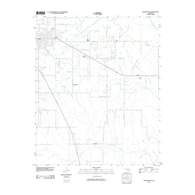 2010 Antlers East2010 Print · USGSSoutheast Oklahoma in the early twenty-first century reveals a landscape of rural crossroads and river bottomlands. Genealogists and local historians can trace family locations near the Odd Fellows Cemetery or explore small communities like Ethel, Dela, and Hamden.
 - 2010 Map of Kiamichi, 2010 Print
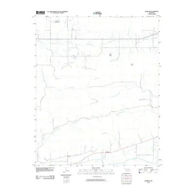 2010 Kiamichi2010 Print · USGSPushmataha County in the early twenty-first century is characterized by the winding Kiamichi River and the undulating Potato Hills. Genealogists and local historians can locate remote landmarks such as Cole Spur Cemetery and Laura Cemetery along the rural road network.
 - 2010 Map of Rattan, 2010 Print
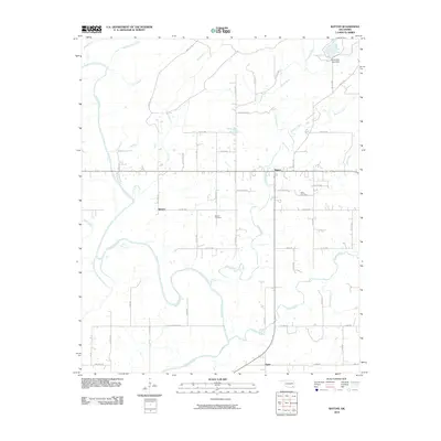 2010 Rattan2010 Print · USGSPushmataha County settlement and river geography are documented here during the early twenty-first century. Genealogists and local researchers can trace family lands near Belzoni and Rattan or locate gravesites at the Belzoni Cemetery.
 - 2010 Map of Dunbar, 2010 Print
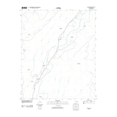 2010 Dunbar2010 Print · USGSOklahoma's Ouachita mountain country is mapped here in the early twenty-first century as it follows the Kiamichi River valley. Researchers can locate the small settlements of Dunbar and Wadena or trace family roots at Reynolds Cemetery and Johns Valley.
 - 2010 Map of Stanley, 2010 Print
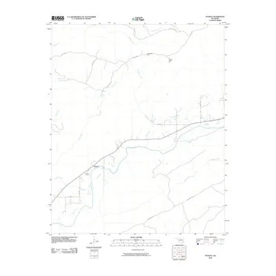 2010 Stanley2010 Print · USGSThe Pushmataha County countryside surrounding Stanley is captured here in the early twenty-first century. Genealogists and local historians can locate the Stanley Cemetery or trace paths to landmarks like Umbrella Rock and the Flagpole Lookout Tower.
 - 2010 Map of Kosoma, 2010 Print
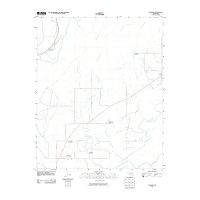 2010 Kosoma2010 Print · USGSOklahoma's Pushmataha County unfolds along the river and hollows in the early twenty-first century. Researchers can trace the rural landscape near Kosoma and Sunshine Hollow or locate the Finley Cemetery along the winding local roads.
 - 2010 Map of Albion SW, 2010 Print
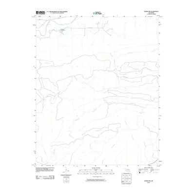 2010 Albion SW2010 Print · USGSNorthern Pushmataha County at the start of the 2010s is defined by its complex river systems and aquaculture. Researchers can trace the drainage patterns of Cripple Creek and Black Fork or locate the Kiamichi Fish Farm.
 - 2010 Map of Moyers, 2010 Print
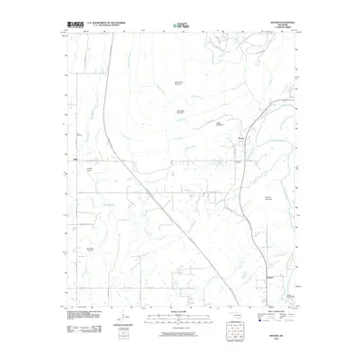 2010 Moyers2010 Print · USGSPushmataha County at the turn of the decade shows a landscape where the Kiamichi River and the Indian Nation Tpke intersect rural life. Genealogists and local historians can trace family roots at the Miller Cemetery or Moyers Cemetery and explore the geography of Impson Valley.
 - 2010 Map of Adel, 2010 Print
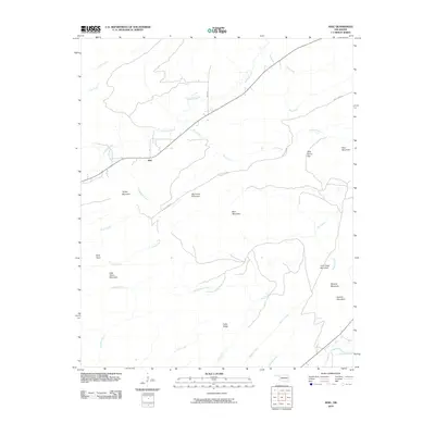 2010 Adel2010 Print · USGSAdel and the surrounding Pushmataha County hills are captured here in the early 21st century. Researchers can trace the rural landscape from Rock Town to the Kiamichi River, identifying local landmarks like Wild Horse Gap and Big Caney Mountain.
Showing maps 1-25 of 132
Top cities of Pushmataha County
Frequently asked questions
- What are the different types of historical maps available for Pushmataha County?
- What is the oldest map of Pushmataha County?
- Where can I purchase historical maps of Pushmataha County for my home or office?
- Where can I download high-res historical maps of Pushmataha County?
- Are there historical topographic maps available for Pushmataha County?
- Is there historical aerial imagery available for Pushmataha County?
- Where are historical maps of Pushmataha County sourced from?