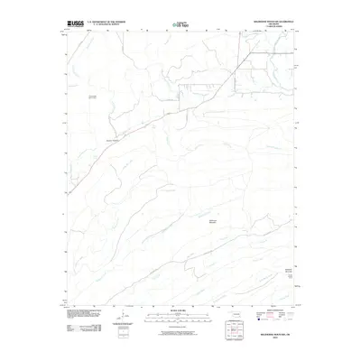
2010 Map of Wildhorse Mountain
USGS Topo · Published 2010About this map
Wildhorse Mountain and Blackjack Mountain dominate this landscape in Pushmataha County, defining a rugged drainage system where numerous creeks converge. The terrain is marked by significant topographical landmarks like Sulphur Canyon and the Sulphur Spring, indicating a region defined by its hydrology and natural elevations. Water management is evident near the western edge at the Pryor Creek Site 31 Dam, while the presence of the Cloudy Lookout Tower on the slopes of Blackjack Mountain highlights the area's history of forest monitoring.
Find a feature on this map
27 named features on this map. Tap any name to fly to it.
Don’t see what you’re looking for? This feature index may not catch every label — zoom into the map to look around manually.
Map Details
Editions of this 2010 Wildhorse Mountain Map
This is the sole edition of this map. No revisions or reprints were ever made.
Other maps of this area

1901 · Tuskahoma
USGS Topo · 1:125,000

1901 · Alikchi
USGS Topo · 1:125,000

1908 · Tuskahoma
USGS Topo · 1:125,000

1909 · Tuskahoma
USGS Topo · 1:125,000

1950 · Mcalester
USGS Topo · 1:250,000

1962 · McAlester
USGS Topo · 1:250,000

1962 · Caney Mountain
USGS Topo · 1:24,000

1965 · McAlester
USGS Topo · 1:250,000
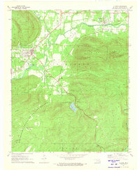
1971 · Clayton
USGS Topo · 1:24,000
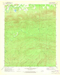
1971 · Albion SW
USGS Topo · 1:24,000