2000s (21st Century) Maps of Stephens County, Oklahoma
Explore 120 historic maps of Stephens County from the 2000s (21st Century). These maps offer a rare glimpse into what life looked like during the 2000s — showing old roads, neighborhoods, homes, and landmarks that have changed or disappeared over time.
Whether you're researching your family's past, planning a metal detecting trip, or studying how Stephens County's landscape evolved across the 2000s, these high-resolution maps are a powerful tool for exploring the history of this region.
- Focus on a specific era: All maps on this page are from the 2000s, giving you a focused view of this time period.
- See what’s changed: Compare century-old streets, trails, and buildings to today's modern landscape using overlays and satellite layers.
- Research with precision: Use these maps for genealogy, historical research, land use analysis, or educational projects.
- View, download, or print: Maps are fully viewable online in high resolution, and can be downloaded or printed for your own records.
Start exploring Stephens County's history through authentic maps from the 2000s. This is your window into the past.
Stephens County, OK maps
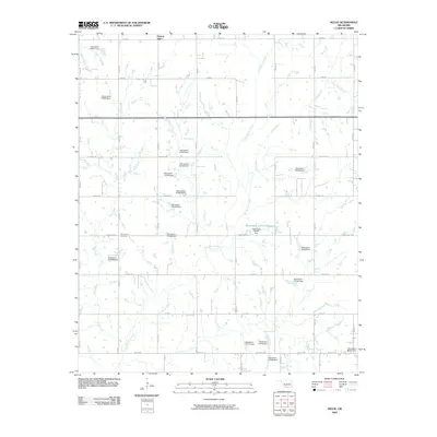
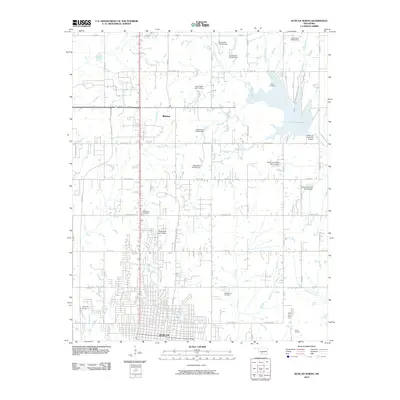
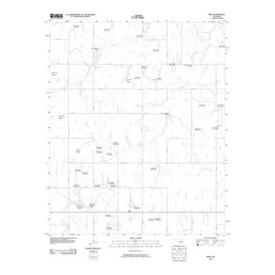
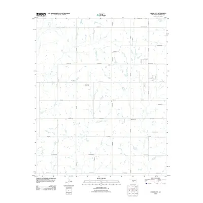
(120)- 2009 Map of Sterling, 2009 Print
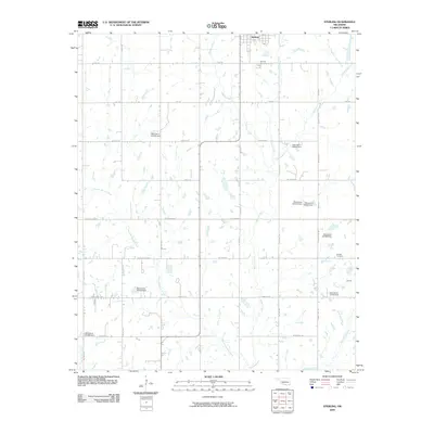 2009 Sterling2009 Print · USGSCovers Stephens County, including Central High, Sterling, and other nearby areas
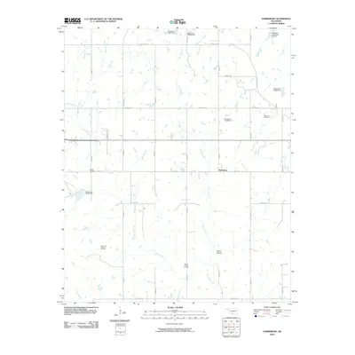
 - 2009 Map of Denton, 2009 Print
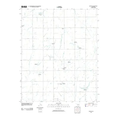 2009 Denton2009 Print · USGSCovers Stephens County, including Central High, Denton, and other nearby areas
 - 2009 Map of Cox City, 2009 Print
 2009 Cox City2009 Print · USGSCovers Stephens County, including Duncan, Cox City, and other nearby areas
 - 2009 Map of Duncan South, 2009 Print
 2009 Duncan South2009 Print · USGSCovers Stephens County, including Duncan, Comanche, and other nearby areas
 - 2009 Map of Nellie, 2009 Print
 2009 Nellie2009 Print · USGSCovers Stephens County, including Duncan, Central High, and other nearby areas
 - 2009 Map of Purdy, 2009 Print
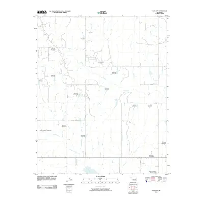
 2009 Purdy2009 Print · USGSCovers Stephens County, including Purdy, Garvin County, and other nearby areas
 - 2009 Map of Ratliff City, 2009 Print
 2009 Ratliff City2009 Print · USGSCovers Stephens County, including Ratliff City, Alma, and other nearby areas
 - 2009 Map of Loco, 2009 Print
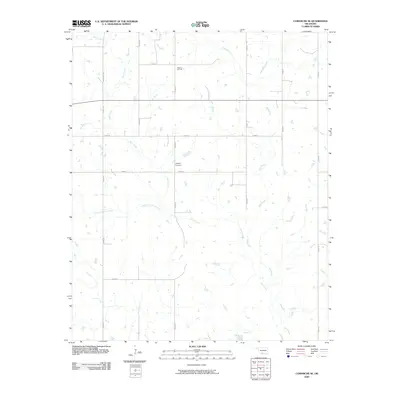
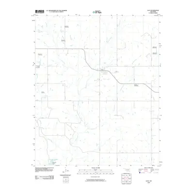 2009 Loco2009 Print · USGSCovers Stephens County, including Loco, Asphaltum, and other nearby areas
 - 2009 Map of Comanche SE, 2009 Print
 2009 Comanche SE2009 Print · USGSCovers Stephens County, including Comanche, Jefferson County, and other nearby areas
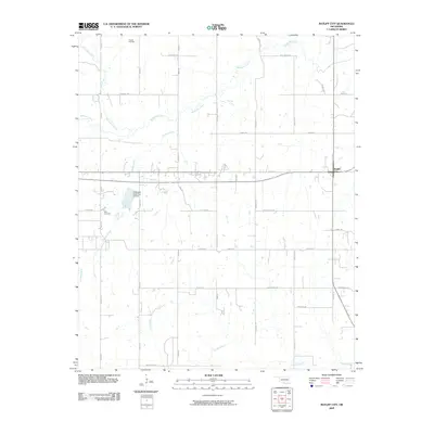
 - 2010 Map of Empire City, 2010 Print
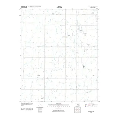 2010 Empire City2010 Print · USGSCovers Stephens County, including Duncan, Comanche, and other nearby areas
 - 2010 Map of Letitia, 2010 Print
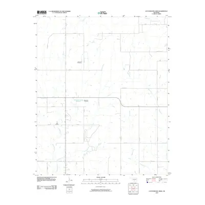
 2010 Letitia2010 Print · USGSCovers Stephens County, including Central High, Empire City, and other nearby areas
 - 2010 Map of Marlow, 2010 Print
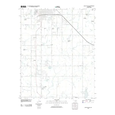
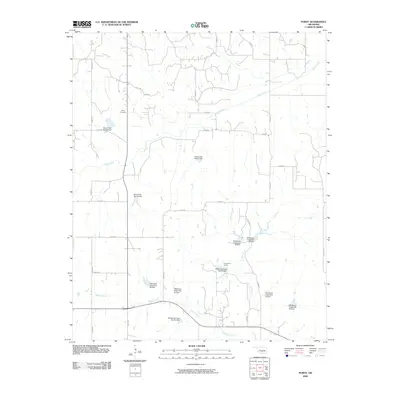
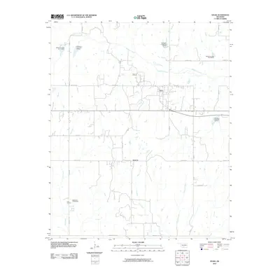
 2010 Marlow2010 Print · USGSCovers Stephens County, including Marlow, Bray, and other nearby areas
 - 2010 Map of Duncan North, 2010 Print
 2010 Duncan North2010 Print · USGSCovers Stephens County, including Duncan, Marlow, and other nearby areas
 - 2010 Map of Cottonwood Creek, 2010 Print
 2010 Cottonwood Creek2010 Print · USGSCovers Stephens County, including Healdton, Carter County, and other nearby areas
 - 2010 Map of Corum, 2010 Print
 2010 Corum2010 Print · USGSCovers Stephens County, including Comanche, Corum, and other nearby areas
 - 2010 Map of Lake Fuqua, 2010 Print
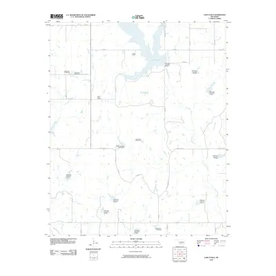 2010 Lake Fuqua2010 Print · USGSCovers Stephens County, including Duncan, United States, and other nearby areas
 - 2010 Map of Bray, 2010 Print
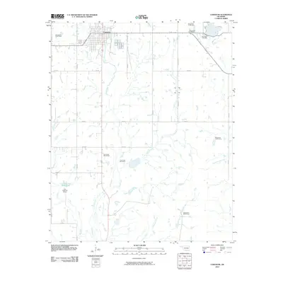
 2010 Bray2010 Print · USGSCovers Stephens County, including Duncan, Bray, and other nearby areas
 - 2010 Map of Harrisburg, 2010 Print
 2010 Harrisburg2010 Print · USGSCovers Stephens County, including Harrisburg, United States, and other nearby areas
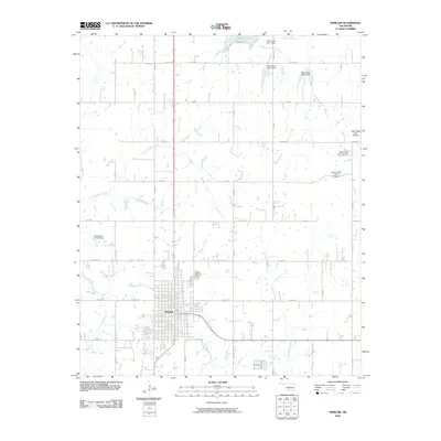
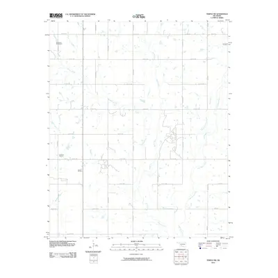
 - 2010 Map of Temple, 2010 Print
 2010 Temple2010 Print · USGSCovers Stephens County, including Temple, Fivemile Corner, and other nearby areas
 - 2010 Map of Pernell, 2010 Print
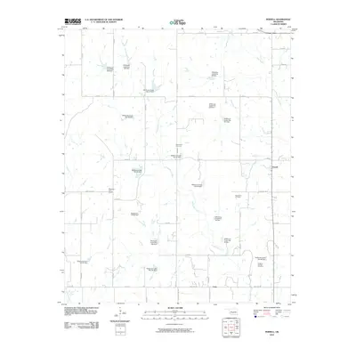 2010 Pernell2010 Print · USGSCovers Stephens County, including Foster, Pernell, and other nearby areas
 - 2010 Map of Temple NW, 2010 Print
 2010 Temple NW2010 Print · USGSCovers Stephens County, including Empire City, Comanche County, and other nearby areas
 - 2010 Map of Comanche, 2010 Print
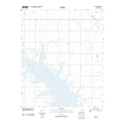
 2010 Comanche2010 Print · USGSCovers Stephens County, including Comanche, Jefferson County, and other nearby areas
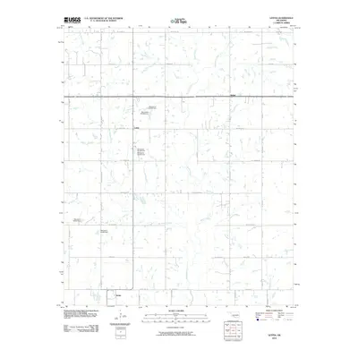
 - 2010 Map of Velma, 2010 Print
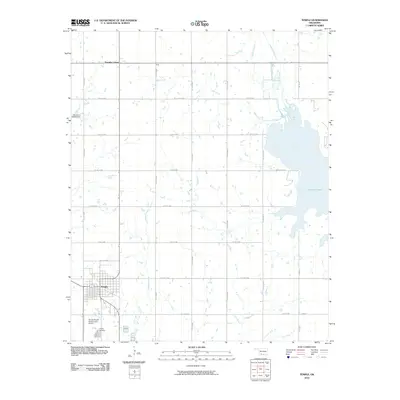
 2010 Velma2010 Print · USGSCovers Stephens County, including Velma, Santa Fe, and other nearby areas
 - 2010 Map of Hope, 2010 Print
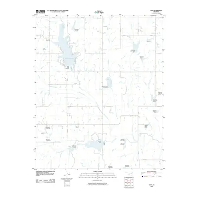 2010 Hope2010 Print · USGSCovers Stephens County, including Duncan, Bray, and other nearby areas
 - 2012 Map of Empire City, 2012 Print
 2012 Empire City2012 Print · USGSCovers Stephens County, including Duncan, Comanche, and other nearby areas
Showing maps 1-25 of 120
Top cities of Stephens County
- Duncan historical maps
- Marlow historical maps
- Comanche historical maps
- Bray historical maps
- Central High historical maps
- Empire City historical maps
See more
Frequently asked questions
- What are the different types of historical maps available for Stephens County?
- What is the oldest map of Stephens County?
- Where can I purchase historical maps of Stephens County for my home or office?
- Where can I download high-res historical maps of Stephens County?
- Are there historical topographic maps available for Stephens County?
- Is there historical aerial imagery available for Stephens County?
- Where are historical maps of Stephens County sourced from?