2000s (21st Century) Maps of Empire City, Oklahoma
Explore 25 historic maps of Empire City from the 2000s (21st Century). These maps offer a rare glimpse into what life looked like during the 2000s — showing old roads, neighborhoods, homes, and landmarks that have changed or disappeared over time.
Whether you're researching your family's past, planning a metal detecting trip, or studying how Empire City's landscape evolved across the 2000s, these high-resolution maps are a powerful tool for exploring the history of this region.
- Focus on a specific era: All maps on this page are from the 2000s, giving you a focused view of this time period.
- See what’s changed: Compare century-old streets, trails, and buildings to today's modern landscape using overlays and satellite layers.
- Research with precision: Use these maps for genealogy, historical research, land use analysis, or educational projects.
- View, download, or print: Maps are fully viewable online in high resolution, and can be downloaded or printed for your own records.
Start exploring Empire City's history through authentic maps from the 2000s. This is your window into the past.
Empire City, OK maps
(25)- 2009 Map of Duncan South, 2009 Print
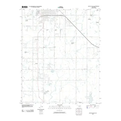 2009 Duncan South2009 Print · USGSThe southern outskirts of Duncan and the surrounding prairie come into focus at the dawn of the 2000s. Researchers can trace family roots through the Duncan Cemetery and Fairlawn Cemeteries, or locate mid-century landmarks like Halliburton Field and Bible Camp.
 - 2009 Map of Nellie, 2009 Print
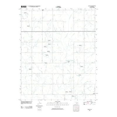 2009 Nellie2009 Print · USGSStephens County in the early 2000s is shown here as an area of dense water management and rural section-line roads. Trace family history at Rock Creek Cemetery or locate the various water works such as Oknoname 137010 Reservoir and the community of Central High.
 - 2010 Map of Empire City, 2010 Print
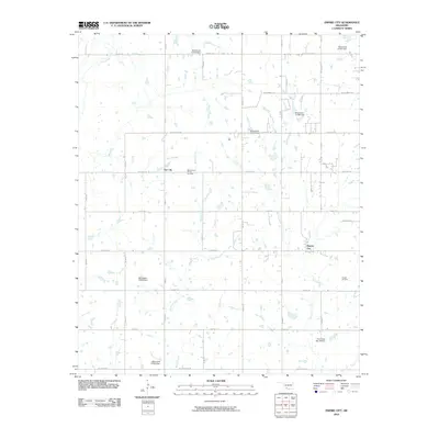 2010 Empire City2010 Print · USGSEmpire City and the surrounding oil fields are captured here in the early 2000s, reflecting a landscape shaped by petroleum and ranching. Researchers can locate specific sites within the West Duncan Oil and Gas Field and trace rural roads like Dr Pepper Rd.
 - 2010 Map of Letitia, 2010 Print
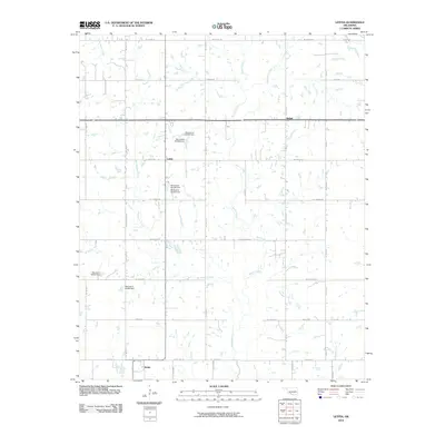 2010 Letitia2010 Print · USGSStephens County at the start of the millennium is characterized by quiet crossroads and a managed water landscape. Genealogists and local historians can trace the rural layouts of Letitia, Bethel, and Hulen along landmarks like Tinney Rd and Beaver Creek.
 - 2010 Map of Temple NW, 2010 Print
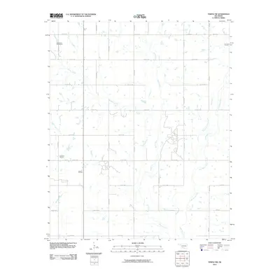 2010 Temple NW2010 Print · USGSStephens County at the turn of the decade is captured here through its grid of rural roads and energy infrastructure. Researchers can locate family heritage sites like Shakelford Cemetery and trace the extent of the Walters Oil Field along Beaver Creek.
 - 2012 Map of Empire City, 2012 Print
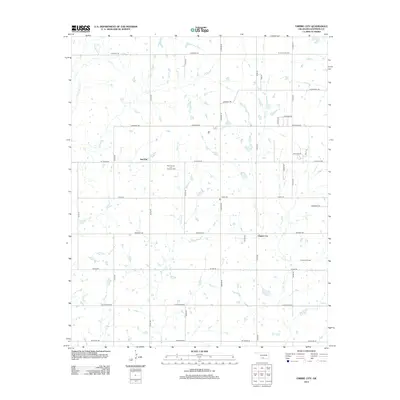 2012 Empire City2012 Print · USGSStep into the Oklahoma oil patch south of Duncan in the early 2010s. Researchers can locate the boundaries of the West Duncan Oil and Gas Field, trace the streets of Empire City, and find landmarks like Cemetery Rd.
 - 2012 Map of Nellie, 2012 Print
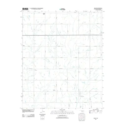 2012 Nellie2012 Print · USGSStephens County, Oklahoma, is shown here in the early twenty-first century as a landscape of section-line roads and winding prairie streams. Researchers can trace rural lineages through the Rock Creek Cem or locate the small communities of Nellie and Oil City.
 - 2012 Map of Temple NW, 2012 Print
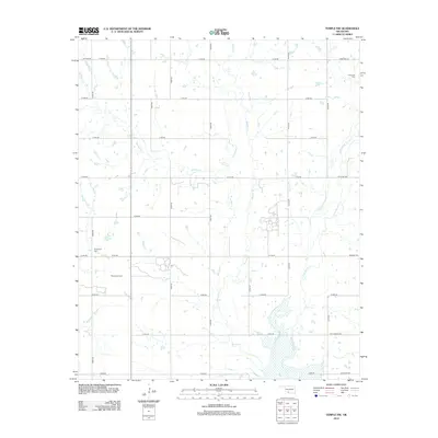 2012 Temple NW2012 Print · USGSStephens County at the start of the 2010s shows a landscape deeply tied to the land and its resources. Genealogists and local historians can locate the Comanche Cem and Shakelford Cem, or trace the extensive Walters Oil Field.
 - 2012 Map of Letitia, 2012 Print
 2012 Letitia2012 Print · USGSStephens County at the start of the 2010s reveals a quiet landscape of agricultural homesteads and rural crossroads. Family historians can trace local roots through the Letitia Community Cem and the small settlements of Hulen, Bethel, and Letitia.
 - 2012 Map of Duncan South, 2012 Print
 2012 Duncan South2012 Print · USGSStephens County shows its modern industrial and residential character in this early 21st-century survey of the southern plains. Researchers can trace local lineage and land use through the Halliburton Field Airport and various burial grounds like Henderson Harris Cem and Tucker Cem.
 - 2016 Map of Duncan South, 2016 Print
 2016 Duncan South2016 Print · USGSStephens County, Oklahoma, comes to life in the mid-2010s, showcasing the expansion of the southern Duncan area into the surrounding plains. Genealogists and historians can locate several rural burial grounds like Fairlawn Cemeteries and Tucker Cem alongside landmarks like Halliburton Field.
 - 2016 Map of Empire City, 2016 Print
 2016 Empire City2016 Print · USGSThe Oklahoma prairie south of Duncan appears in the mid-2010s as a landscape of managed water and expanding road networks. Local historians can trace the developments around Empire City and Gas City, or locate the Oak Grove Cem near the banks of Dry Creek.
 - 2016 Map of Letitia, 2016 Print
 2016 Letitia2016 Print · USGSOklahoma's ranching country at the junction of three counties is detailed here during the mid-2010s. Genealogists and local researchers can trace family landmarks like the Letitia Community Cem and the small communities of Letitia, Bethel, and Nellie.
 - 2016 Map of Temple NW, 2016 Print
 2016 Temple NW2016 Print · USGSThe Oklahoma borderlands of Stephens and Cotton counties are captured here in the mid-2010s. Genealogists and local historians can locate Empire City and trace family roots at the Comanche Cem and Shakelford Cem.
 - 2016 Map of Nellie, 2016 Print
 2016 Nellie2016 Print · USGSStephens County at the mid-2010s shows a landscape of rural crossroads and extensive water management systems. Genealogists and local historians can trace the foundations of Oil City, Empire City, and Central High, or locate family sites near Rock Creek Cem.
 - 2018 Map of Empire City, 2018 Print
 2018 Empire City2018 Print · USGSStephens County, Oklahoma, is shown here in the late 2010s as a landscape of energy production and rural settlements. Genealogists and local historians can trace the areas around Empire City, Gas City, and the Oak Grove Cem.
 - 2018 Map of Letitia, 2018 Print
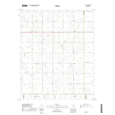 2018 Letitia2018 Print · USGSOklahoma's prairie landscape at the junction of Comanche, Stephens, and Cotton counties is captured here in the late 2010s. Genealogists and local historians can trace family locations near Letitia, Bethel, and the Letitia Community Cem.
 - 2018 Map of Nellie, 2018 Print
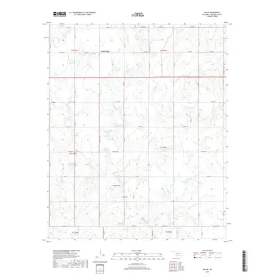 2018 Nellie2018 Print · USGSStephens County, Oklahoma, is shown in this recent survey during a period of continued rural development and water management. Genealogists and local historians can trace the environs of Oil City, Empire City, and the grounds of the Rock Creek Cem.
 - 2018 Map of Temple NW, 2018 Print
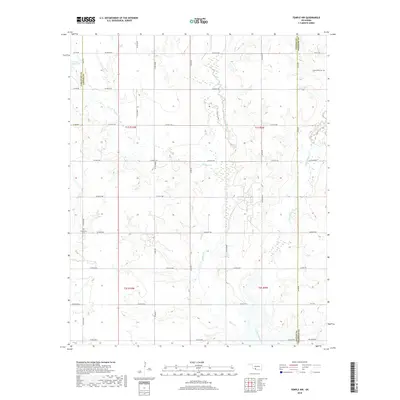 2018 Temple NW2018 Print · USGSSouthern Oklahoma’s prairie landscape is captured here in the late twenty-tens at the intersection of three counties. Genealogists and local historians can locate the Comanche Cem and Shakelford Cem among the drainages of Beaver Cr.
 - 2018 Map of Duncan South, 2018 Print
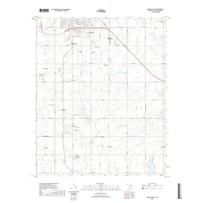 2018 Duncan South2018 Print · USGSThe outskirts of Duncan and Comanche come into sharp focus in the late 2010s, showing a landscape shaped by local industry and rural life. Researchers can locate family landmarks like Tucker Cem, the industrial site at Sellers Salvage Rd, and smaller hubs at Sunray and Empire City.
 - 2022 Map of Duncan South, 2022 Print
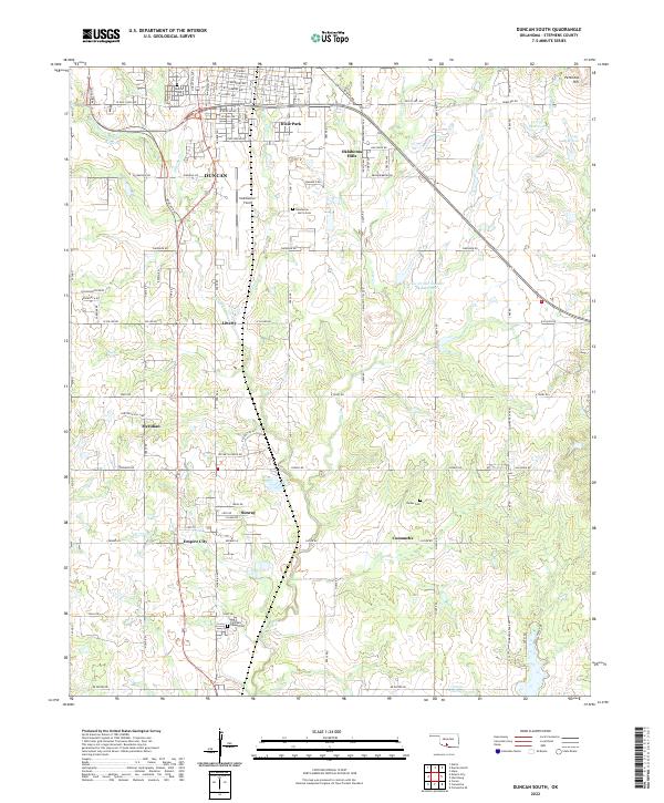 2022 Duncan South2022 Print · USGSThe Oklahoma plains south of Duncan are captured here in the early 2020s, showcasing the region's energy-sector infrastructure and traditional rural settlements. Researchers can locate Halliburton Field, several family-named burial sites like Harris Cem, and the communities of Sunray and Empire City.
 - 2022 Map of Temple NW, 2022 Print
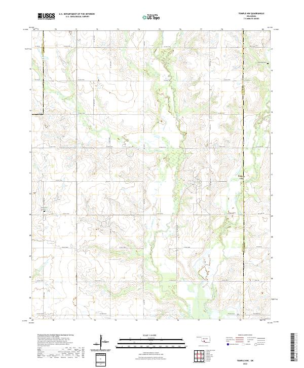 2022 Temple NW2022 Print · USGSThe Cotton County landscape north of Temple shows its established oil and agricultural character in the 2020s. Genealogists and historians can locate Comanche Cem and Shakelford Cem or trace the drainage of Beaver Cr near Empire City.
 - 2022 Map of Empire City, 2022 Print
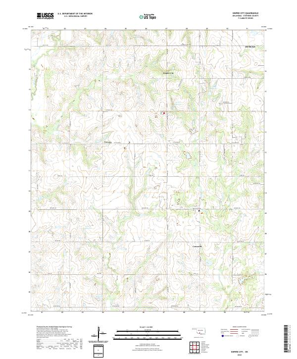 2022 Empire City2022 Print · USGSStephens County in the early twenty-first century reveals a grid of rural homesteads and industrial roads between Empire City and Comanche. Researchers can trace local lineage at Oak Grove Cem or follow the waters of Little Beaver Cr and Walker Cr.
 - 2022 Map of Letitia, 2022 Print
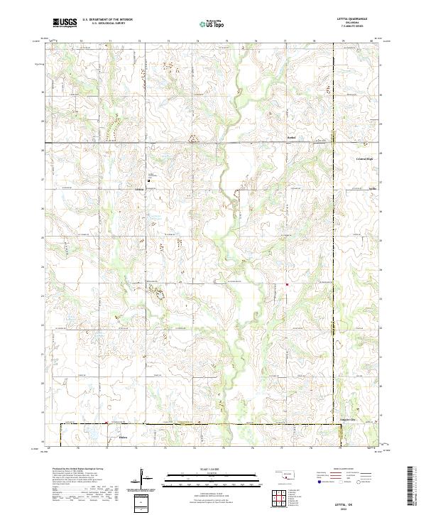 2022 Letitia2022 Print · USGSSoutheastern Oklahoma's rural section lines and creek drainages are mapped here in the modern era. Genealogists can locate family landmarks like the Letitia Community Cem or trace the small settlements of Letitia, Bethel, and Central High.
 - 2022 Map of Nellie, 2022 Print
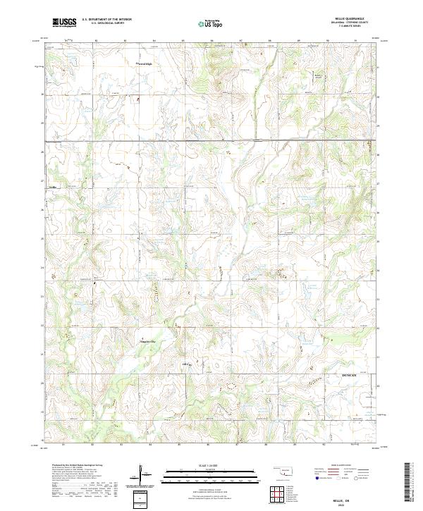 2022 Nellie2022 Print · USGSIn the plains west of Duncan during the early twenty-first century, this area shows a landscape of rural crossroads and oil-country settlements. Researchers can trace family history at Rock Creek Cem or locate old community sites like Nellie and Central High.
End of results
Showing maps 1-25 of 25
Top cities near Empire City
- Duncan historical maps
- Marlow historical maps
- Comanche historical maps
- Temple historical maps
- Bray historical maps
- Central High historical maps
Frequently asked questions
- What are the different types of historical maps available for Empire City?
- What is the oldest map of Empire City?
- Where can I purchase historical maps of Empire City for my home or office?
- Where can I download high-res historical maps of Empire City?
- Are there historical topographic maps available for Empire City?
- Is there historical aerial imagery available for Empire City?
- Where are historical maps of Empire City sourced from?