2010s Maps of Washington County, Oklahoma
Explore 60 historic maps of Washington County from the 2010s. These maps offer a rare glimpse into what life looked like during the 2010s — showing old roads, neighborhoods, homes, and landmarks that have changed or disappeared over time.
Whether you're researching your family's past, planning a metal detecting trip, or studying how Washington County's landscape evolved across the 2010s, these high-resolution maps are a powerful tool for exploring the history of this region.
- Focus on a specific era: All maps on this page are from the 2010s, giving you a focused view of this time period.
- See what’s changed: Compare century-old streets, trails, and buildings to today's modern landscape using overlays and satellite layers.
- Research with precision: Use these maps for genealogy, historical research, land use analysis, or educational projects.
- View, download, or print: Maps are fully viewable online in high resolution, and can be downloaded or printed for your own records.
Start exploring Washington County's history through authentic maps from the 2010s. This is your window into the past.
Washington County, OK maps
(60)- 2010 Map of Bartlesville South, 2010 Print
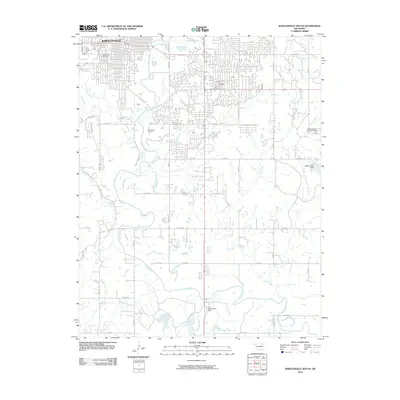 2010 Bartlesville South2010 Print · USGSBartlesville and the winding Caney River valley are shown here in the early twenty-first century as suburban growth expanded southward. Genealogists can locate several key burial sites including Silver Lake Cemetery and White Rose Cemetery alongside landmarks like the Richard Kane Dam.
 - 2010 Map of Collinsville NE, 2010 Print
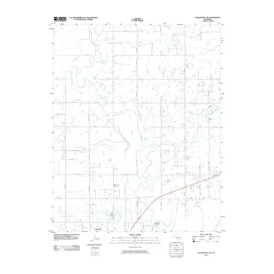 2010 Collinsville NE2010 Print · USGSCollinsville and the surrounding Oklahoma countryside are captured here in the first decade of the 21st century. Researchers can trace the drainage patterns of the Caney River and find local landmarks like the Collinsville Lake Dam and Horsepen Creek.
 - 2010 Map of Vera, 2010 Print
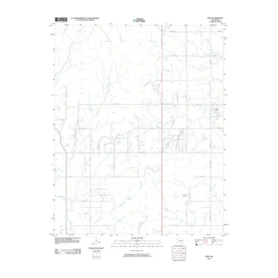 2010 Vera2010 Print · USGSThe rural landscape around the town of Vera is shown here in the early twenty-first century, characterized by its network of prairie creeks and ranch land. Researchers can locate the Bluestem Airport, trace the winding course of Bird Creek, and find landmarks like Dr To Star Lake Ranch.
 - 2010 Map of Oglesby, 2010 Print
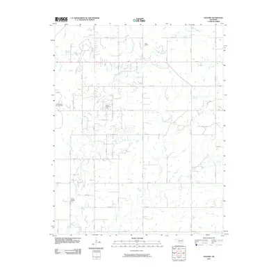 2010 Oglesby2010 Print · USGSOklahoma's rural Washington County is documented here in the early 2000s, showing a landscape shaped by ranching and oil. Family researchers can locate Oglesby Cemetery and Willey Cemetery or trace the drainage of Hogshooter Creek and Curl Creek.
 - 2010 Map of Bartlesville North, 2010 Print
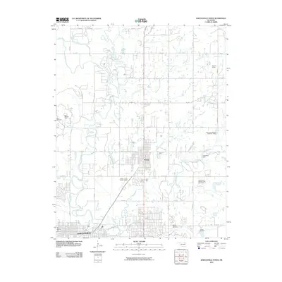 2010 Bartlesville North2010 Print · USGSNorthern Washington County is captured here at a time of steady growth between its primary urban centers. Researchers can trace the development of Dewey and Bartlesville or locate specific landmarks like The Mound and Wayside Airport.
 - 2010 Map of Avant, 2010 Print
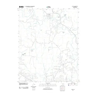 2010 Avant2010 Print · USGSAvant and the surrounding oil fields are documented here in the early twenty-first century as the region balanced industrial petroleum production with its rural roots. Researchers can locate family burial sites at Avant Cemetery and Lombard Cemetery or trace the drainage of Bird Creek and Quapaw Creek.
 - 2010 Map of Blue Mound, 2010 Print
 2010 Blue Mound2010 Print · USGSNortheastern Oklahoma at the turn of the millennium is seen here through its managed water systems and rural crossroads. Genealogists and local historians can trace the landscape near Wayside or locate landmarks like Blue Mound and the Cotton Coon Mission Site Number 12 Dam.
 - 2010 Map of Bartlesville SE, 2010 Print
 2010 Bartlesville SE2010 Print · USGSRogers County at the start of the 21st century reveals a landscape where the Caney River dictates the terrain. Genealogists can trace family landmarks like Tyner Cemetery and Buck Creek Cemetery amidst a network of rural routes and the Wagoner Lake Dam.
 - 2010 Map of Woolaroc, 2010 Print
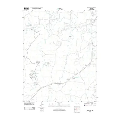 2010 Woolaroc2010 Print · USGSBartlesville and the surrounding Osage Hills are captured here in the early twenty-first century as a landscape of conservation and recreation. Genealogists and historians can trace the grounds of Woolaroc, the Wah-Shah-She Girl Scout Camp, and old settlements like Fite.
 - 2010 Map of Ramona, 2010 Print
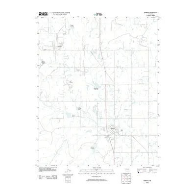 2010 Ramona2010 Print · USGSThe rural landscape of Washington County comes into focus in this early 2000s survey of the areas around Ramona and Ochelata. Genealogists and researchers can trace the vicinity of Ramona Cemetery, the waters of Nellie Bly Creek, and the prominent Twin Mounds.
 - 2010 Map of Bowring SE, 2010 Print
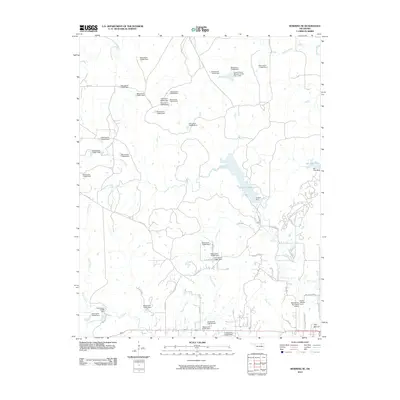 2010 Bowring SE2010 Print · USGSThe northern fringes of Bartlesville come into focus during the early twenty-first century, showing the intersection of aviation history and regional water management. Researchers can locate Frank Phillips Field and trace the shores of Lake Hudson and the Caney River.
 - 2010 Map of Wolco, 2010 Print
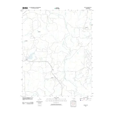 2010 Wolco2010 Print · USGSThis rural portion of Osage County comes into focus during the early twenty-first century, centered on the community of Wolco. Genealogists and local historians can trace the paths of Old State Hwy 11 and the waters of Candy Creek or Waxhoma Lake Dam.
 - 2010 Map of Bowring, 2010 Print
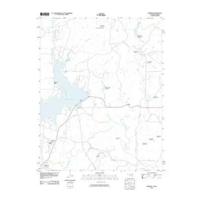 2010 Bowring2010 Print · USGSOsage County's northern landscape is captured here in the early twenty-first century, centered on the waters of Hulah Lake. Researchers can trace the local drainage of the Caney River and find landmarks like Deadmans Rock, Hickory Hill, and the settlement of Bowring.
 - 2010 Map of Copan, 2010 Print
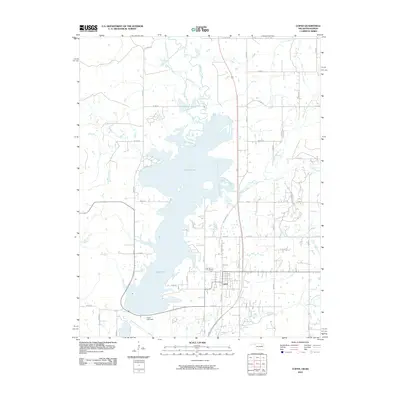 2010 Copan2010 Print · USGSThe Washington County landscape near the Kansas border is centered here on the large waters of Copan Lake during the early 2000s. Genealogists and local historians can trace the road networks around Copan and the courses of Cotton Creek and Pooler Creek.
 - 2010 Map of Wann, 2010 Print
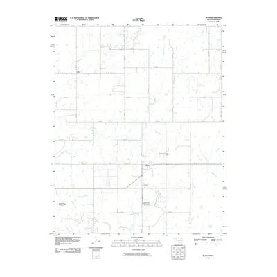 2010 Wann2010 Print · USGSNorthern Nowata County at the Kansas border reveals a landscape of dispersed farmsteads and essential water infrastructure during the early twenty-first century. Researchers can locate the Wann townsite and Patrick Cemetery or trace waterways like California Creek and Cotton Creek.
 - 2012 Map of Bartlesville South, 2012 Print
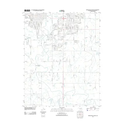 2012 Bartlesville South2012 Print · USGSBartlesville and the surrounding Oklahoma countryside are captured here as modern development reaches south toward older settlements. Researchers can trace family history through numerous local sites including White Rose Cem, the community of Matoaka, and the grounds of Oklahoma Wesleyan Univ.
 - 2012 Map of Bartlesville SE, 2012 Print
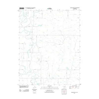 2012 Bartlesville SE2012 Print · USGSRogers County at the start of the 2010s shows a structured landscape where the Caney River winds through a dense grid of rural section-line roads. Researchers can locate the Tyner Cem or trace several named waterways including Hogshooter Cr and Double Cr.
 - 2012 Map of Wann, 2012 Print
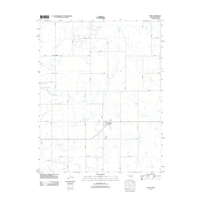 2012 Wann2012 Print · USGSNortheastern Oklahoma's borderlands are captured here in the early twenty-first century, centered on the grid of Wann. Genealogists and local researchers can trace family landmarks like Patrick Cem and the settlement at Cotton Valley.
 - 2012 Map of Ramona, 2012 Print
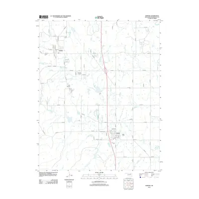 2012 Ramona2012 Print · USGSSouthern Washington County at the start of the 2010s shows a landscape defined by its creek networks and rural cemeteries. Genealogists and local historians can trace the town centers of Ramona and Ochelata, alongside historic sites like Ceasar Cem and the Twin Mounds.
 - 2012 Map of Bartlesville North, 2012 Print
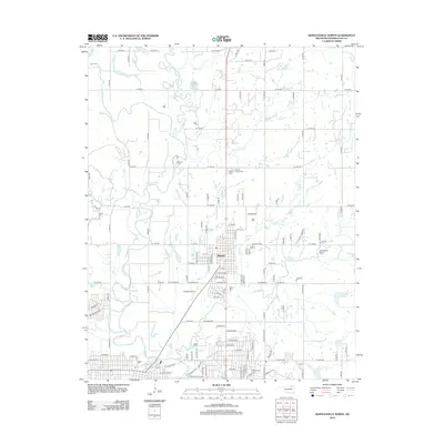 2012 Bartlesville North2012 Print · USGSNorth of the Bartlesville area in the early twenty-first century, the town of Dewey sits at the confluence of the Caney River and Little Caney River. Family researchers can locate numerous burial sites such as Beck Cem, Lenno Cem, and Dewey Negro Cem.
 - 2012 Map of Vera, 2012 Print
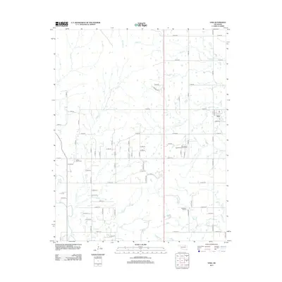 2012 Vera2012 Print · USGSThis rural Oklahoma landscape near the turn of the twenty-first century reveals a community shaped by its waterways and regional aviation history. Researchers can locate the Hillside Mission Cem and trace the paths of Bird Cr or Skalall Cr.
 - 2012 Map of Collinsville NE, 2012 Print
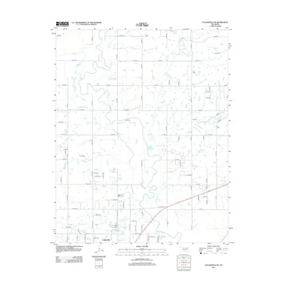 2012 Collinsville NE2012 Print · USGSThe rural outskirts of Collinsville are captured here in the early 2010s, showing the intersection of a precise road grid and the winding Caney River. Local historians can trace family land boundaries along Horsepen Cr, Saunders Cr, and the banks of Rabb Cr.
 - 2012 Map of Oglesby, 2012 Print
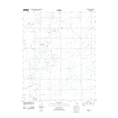 2012 Oglesby2012 Print · USGSWashington County at the start of the 2010s shows a landscape of rural homesteads and established family burial grounds. Genealogists can locate several historic sites including Curleyhead Cemetery, Willey Cemetery, and the community of Oglesby.
 - 2012 Map of Blue Mound, 2012 Print
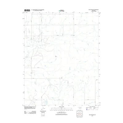 2012 Blue Mound2012 Print · USGSOklahoma's tallgrass prairie landscape is documented here in the early twenty-first century, centered on the prominent rise of Blue Mound. Researchers can trace the winding paths of Hogshooter Cr, Coon Cr, and Little California Cr as they cut through the rural section-line road grid.
 - 2012 Map of Woolaroc, 2012 Print
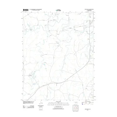 2012 Woolaroc2012 Print · USGSThe Osage Hills region comes alive in this 2012 survey of the ranch lands southwest of Bartlesville. Genealogists and local historians can trace the numerous named springs and family-named landmarks including Ponce De Leon Spring, Whisky Hollow, and the Woolaroc estate.
Showing maps 1-25 of 60
Top cities of Washington County
- Bartlesville historical maps
- Dewey historical maps
- Copan historical maps
- Ramona historical maps
- Ochelata historical maps
- Vera historical maps
Frequently asked questions
- What are the different types of historical maps available for Washington County?
- What is the oldest map of Washington County?
- Where can I purchase historical maps of Washington County for my home or office?
- Where can I download high-res historical maps of Washington County?
- Are there historical topographic maps available for Washington County?
- Is there historical aerial imagery available for Washington County?
- Where are historical maps of Washington County sourced from?