2020s Maps of Clatsop County, Oregon
Explore 55 historic maps of Clatsop County from the 2020s. These maps offer a rare glimpse into what life looked like during the 2020s — showing old roads, neighborhoods, homes, and landmarks that have changed or disappeared over time.
Whether you're researching your family's past, planning a metal detecting trip, or studying how Clatsop County's landscape evolved across the 2020s, these high-resolution maps are a powerful tool for exploring the history of this region.
- Focus on a specific era: All maps on this page are from the 2020s, giving you a focused view of this time period.
- See what’s changed: Compare century-old streets, trails, and buildings to today's modern landscape using overlays and satellite layers.
- Research with precision: Use these maps for genealogy, historical research, land use analysis, or educational projects.
- View, download, or print: Maps are fully viewable online in high resolution, and can be downloaded or printed for your own records.
Start exploring Clatsop County's history through authentic maps from the 2020s. This is your window into the past.
Clatsop County, OR maps
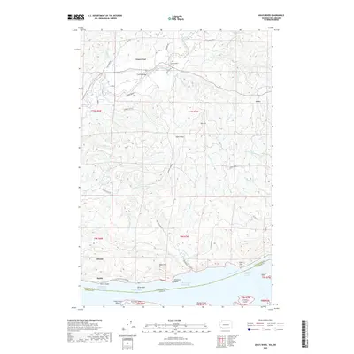
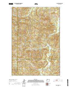
(55)- 2020 Map of Cape Disappointment, 2020 Print
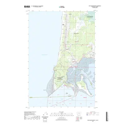 2020 Cape Disappointment2020 Print · USGSCovers Clatsop County, including Long Beach, Ilwaco, and other nearby areas
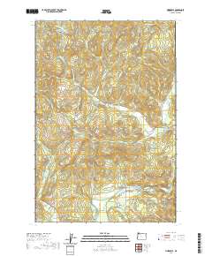
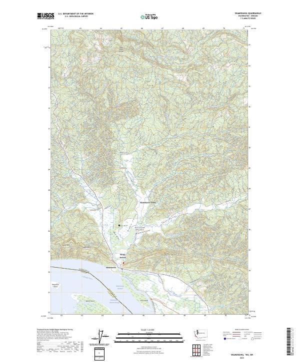
 - 2020 Map of Skamokawa, 2020 Print
 2020 Skamokawa2020 Print · USGSCovers Clatsop County, including Skamokawa, Wahkiakum County, and other nearby areas
 - 2020 Map of Knappton, 2020 Print
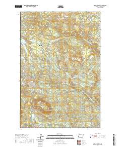
 2020 Knappton2020 Print · USGSCovers Clatsop County, including Naselle, Knappton, and other nearby areas
 - 2020 Map of Cathlamet, 2020 Print
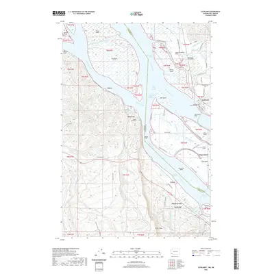 2020 Cathlamet2020 Print · USGSCovers Clatsop County, including Cathlamet, Clifton, and other nearby areas
 - 2020 Map of Grays River, 2020 Print
 2020 Grays River2020 Print · USGSCovers Clatsop County, including Grays River, Dahlia, and other nearby areas
 - 2020 Map of Nassa Point, 2020 Print
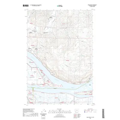 2020 Nassa Point2020 Print · USGSCovers Clatsop County, including Cathlamet, Westport, and other nearby areas
 - 2020 Map of Chinook, 2020 Print
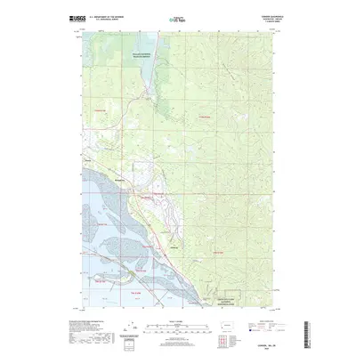 2020 Chinook2020 Print · USGSCovers Clatsop County, including Ilwaco, Stringtown, and other nearby areas
 - 2020 Map of Rosburg, 2020 Print
 2020 Rosburg2020 Print · USGSCovers Clatsop County, including Rosburg, Deep River, and other nearby areas
 - 2020 Map of Wickiup Mountain, 2020 Print
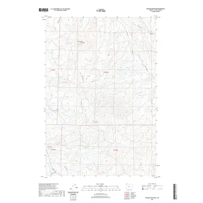 2020 Wickiup Mountain2020 Print · USGSCovers Clatsop County, including United States, Oregon, and other nearby areas
 - 2020 Map of Clatsop Spit, 2020 Print
 2020 Clatsop Spit2020 Print · USGSCovers Clatsop County, including Pacific County, United States, and other nearby areas
 - 2020 Map of Nicolai Mountain, 2020 Print
 2020 Nicolai Mountain2020 Print · USGSCovers Clatsop County, including United States, Oregon, and other nearby areas
 - 2020 Map of Sunset Spring, 2020 Print
 2020 Sunset Spring2020 Print · USGSCovers Clatsop County, including Tillamook County, United States, and other nearby areas
 - 2020 Map of Saddle Mountain, 2020 Print
 2020 Saddle Mountain2020 Print · USGSCovers Clatsop County, including United States, Oregon, and other nearby areas
 - 2020 Map of Elsie, 2020 Print
 2020 Elsie2020 Print · USGSCovers Clatsop County, including Elsie, Elderberry, and other nearby areas
 - 2020 Map of Hamlet, 2020 Print
 2020 Hamlet2020 Print · USGSCovers Clatsop County, including Hamlet, Tillamook County, and other nearby areas
 - 2020 Map of Clear Creek, 2020 Print
 2020 Clear Creek2020 Print · USGSCovers Clatsop County, including Keasey, Clear Creek, and other nearby areas
 - 2020 Map of Vinemaple, 2020 Print
 2020 Vinemaple2020 Print · USGSCovers Clatsop County, including Tideport, Vinemaple, and other nearby areas
 - 2020 Map of Arch Cape, 2020 Print
 2020 Arch Cape2020 Print · USGSCovers Clatsop County, including Cannon Beach, Arch Cape, and other nearby areas
 - 2020 Map of Knappa, 2020 Print
 2020 Knappa2020 Print · USGSCovers Clatsop County, including Brownsmead, Knappa, and other nearby areas
 - 2020 Map of Green Mountain, 2020 Print
 2020 Green Mountain2020 Print · USGSCovers Clatsop County, including United States, Oregon, and other nearby areas
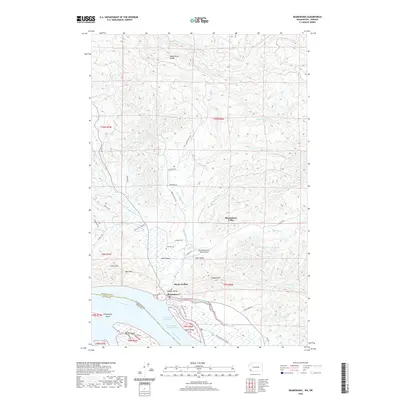
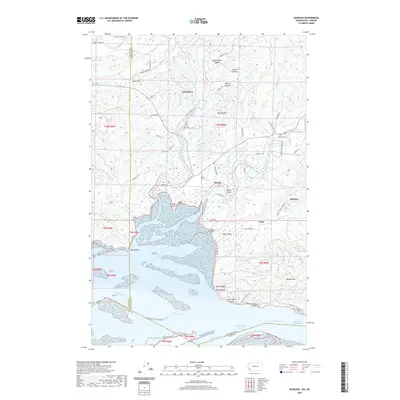
 - 2020 Map of Warrenton, 2020 Print
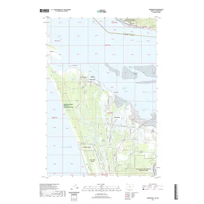 2020 Warrenton2020 Print · USGSCovers Clatsop County, including Warrenton, McGowan, and other nearby areas
 - 2020 Map of Gearhart, 2020 Print
 2020 Gearhart2020 Print · USGSCovers Clatsop County, including Seaside, Gearhart, and other nearby areas
 - 2020 Map of Soapstone Lake, 2020 Print
 2020 Soapstone Lake2020 Print · USGSCovers Clatsop County, including Aldervale, Tillamook County, and other nearby areas
 - 2023 Map of Cape Disappointment, 2023 Print
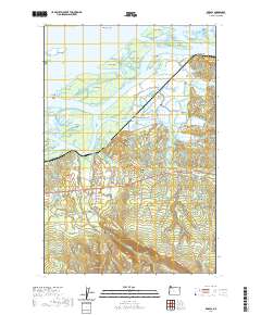
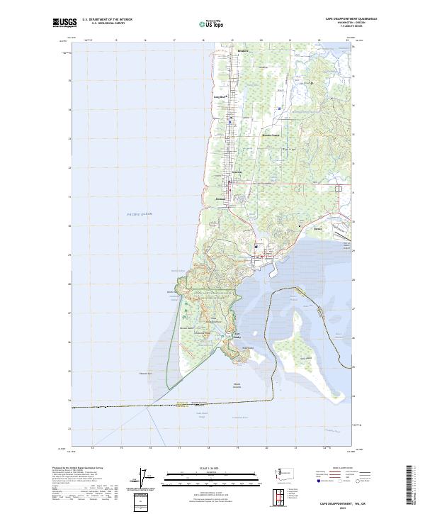 2023 Cape Disappointment2023 Print · USGSThe Long Beach Peninsula meets the Columbia River in the early 2020s, showing a landscape of maritime history and coastal settlements. Trace local heritage through the Lone Fir Cem, the grounds of Fort Canby, and the waterfront at Ilwaco.
 - 2023 Map of Skamokawa, 2023 Print
 2023 Skamokawa2023 Print · USGSThe riverfront and valley systems of Wahkiakum County are shown here in detail during the early 2020s. Genealogists and local historians can trace family-named sites like Fern Hill Cem and explore the sloughs around Price Island and Skamokawa.
Showing maps 1-25 of 55
Top cities of Clatsop County
- Astoria historical maps
- Seaside historical maps
- Warrenton historical maps
- Cannon Beach historical maps
- Gearhart historical maps
Frequently asked questions
- What are the different types of historical maps available for Clatsop County?
- What is the oldest map of Clatsop County?
- Where can I purchase historical maps of Clatsop County for my home or office?
- Where can I download high-res historical maps of Clatsop County?
- Are there historical topographic maps available for Clatsop County?
- Is there historical aerial imagery available for Clatsop County?
- Where are historical maps of Clatsop County sourced from?