2020s Maps of Deschutes County, Oregon
Explore 165 historic maps of Deschutes County from the 2020s. These maps offer a rare glimpse into what life looked like during the 2020s — showing old roads, neighborhoods, homes, and landmarks that have changed or disappeared over time.
Whether you're researching your family's past, planning a metal detecting trip, or studying how Deschutes County's landscape evolved across the 2020s, these high-resolution maps are a powerful tool for exploring the history of this region.
- Focus on a specific era: All maps on this page are from the 2020s, giving you a focused view of this time period.
- See what’s changed: Compare century-old streets, trails, and buildings to today's modern landscape using overlays and satellite layers.
- Research with precision: Use these maps for genealogy, historical research, land use analysis, or educational projects.
- View, download, or print: Maps are fully viewable online in high resolution, and can be downloaded or printed for your own records.
Start exploring Deschutes County's history through authentic maps from the 2020s. This is your window into the past.
Deschutes County, OR maps
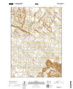
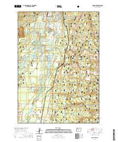
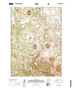
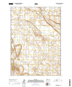
(165)- 2020 Map of Fox Butte, 2020 Print
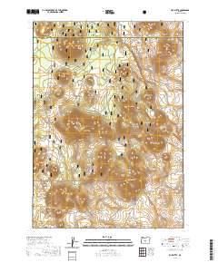 2020 Fox Butte2020 Print · USGSCovers Deschutes County, including Lake County, United States, and other nearby areas
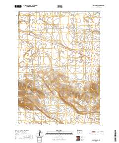
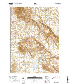
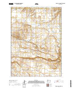
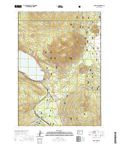
 - 2020 Map of Elk Lake, 2020 Print
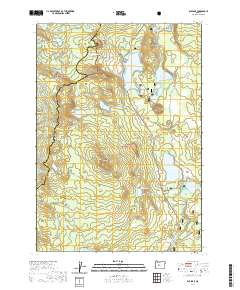 2020 Elk Lake2020 Print · USGSCovers Deschutes County, including Lane County, United States, and other nearby areas
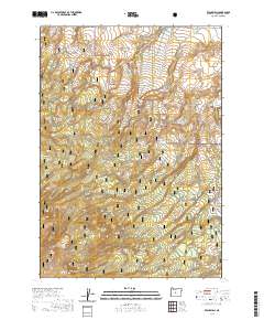
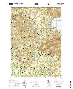
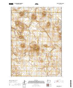
 - 2020 Map of Rodman Rim, 2020 Print
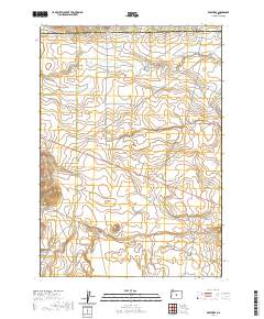
 2020 Rodman Rim2020 Print · USGSCovers Deschutes County, including Crook County, United States, and other nearby areas
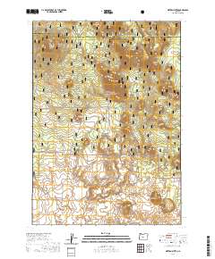
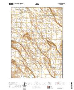
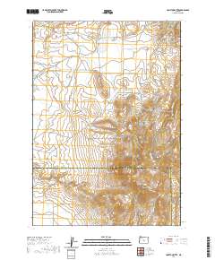
 - 2020 Map of West of Hampton, 2020 Print
 2020 West of Hampton2020 Print · USGSCovers Deschutes County, including Crook County, United States, and other nearby areas
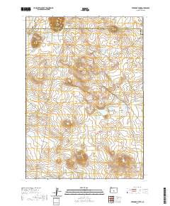
 - 2020 Map of Soldiers Cap, 2020 Print
 2020 Soldiers Cap2020 Print · USGSCovers Deschutes County, including United States, Oregon, and other nearby areas
 - 2020 Map of Brothers SW, 2020 Print
 2020 Brothers SW2020 Print · USGSCovers Deschutes County, including Crook County, United States, and other nearby areas
 - 2020 Map of Evans Well, 2020 Print
 2020 Evans Well2020 Print · USGSCovers Deschutes County, including United States, Oregon, and other nearby areas
 - 2020 Map of Sixteen Butte, 2020 Print
 2020 Sixteen Butte2020 Print · USGSCovers Deschutes County, including Lake County, United States, and other nearby areas
 - 2020 Map of Anns Butte, 2020 Print
 2020 Anns Butte2020 Print · USGSCovers Deschutes County, including Three Rivers, United States, and other nearby areas
 - 2020 Map of Benjamin Lake, 2020 Print
 2020 Benjamin Lake2020 Print · USGSCovers Deschutes County, including Lake County, United States, and other nearby areas
 - 2020 Map of Brothers, 2020 Print
 2020 Brothers2020 Print · USGSCovers Deschutes County, including Brothers, Crook County, and other nearby areas
 - 2020 Map of Frederick Butte, 2020 Print
 2020 Frederick Butte2020 Print · USGSCovers Deschutes County, including Lake County, United States, and other nearby areas
 - 2020 Map of Plot Butte, 2020 Print
 2020 Plot Butte2020 Print · USGSCovers Deschutes County, including United States, Oregon, and other nearby areas
 - 2020 Map of Imperial Valley North, 2020 Print
 2020 Imperial Valley North2020 Print · USGSCovers Deschutes County, including Crook County, United States, and other nearby areas
 - 2020 Map of Paulina Peak, 2020 Print
 2020 Paulina Peak2020 Print · USGSCovers Deschutes County, including United States, Oregon, and other nearby areas
 - 2020 Map of Potato Lake, 2020 Print
 2020 Potato Lake2020 Print · USGSCovers Deschutes County, including Lake County, United States, and other nearby areas
 - 2020 Map of Dickerson Flat, 2020 Print
 2020 Dickerson Flat2020 Print · USGSCovers Deschutes County, including United States, Oregon, and other nearby areas
 - 2020 Map of Odell Lake, 2020 Print
 2020 Odell Lake2020 Print · USGSCovers Deschutes County, including Odell Lake, Crescent Lake, and other nearby areas
 - 2020 Map of Walker Butte, 2020 Print
 2020 Walker Butte2020 Print · USGSCovers Deschutes County, including Lake County, United States, and other nearby areas
 - 2020 Map of Hampton Butte, 2020 Print
 2020 Hampton Butte2020 Print · USGSCovers Deschutes County, including Crook County, United States, and other nearby areas
 - 2020 Map of Last Chance Lake, 2020 Print
 2020 Last Chance Lake2020 Print · USGSCovers Deschutes County, including Lake County, United States, and other nearby areas
 - 2020 Map of Wickiup Dam, 2020 Print
 2020 Wickiup Dam2020 Print · USGSCovers Deschutes County, including United States, Oregon, and other nearby areas
 - 2020 Map of South Ice Cave, 2020 Print
 2020 South Ice Cave2020 Print · USGSCovers Deschutes County, including Lake County, United States, and other nearby areas
 - 2020 Map of Lava Cast Forest, 2020 Print
 2020 Lava Cast Forest2020 Print · USGSCovers Deschutes County, including United States, Oregon, and other nearby areas
 - 2020 Map of Horse Ridge, 2020 Print
 2020 Horse Ridge2020 Print · USGSCovers Deschutes County, including United States, Oregon, and other nearby areas
Showing maps 1-25 of 165
Top cities of Deschutes County
Frequently asked questions
- What are the different types of historical maps available for Deschutes County?
- What is the oldest map of Deschutes County?
- Where can I purchase historical maps of Deschutes County for my home or office?
- Where can I download high-res historical maps of Deschutes County?
- Are there historical topographic maps available for Deschutes County?
- Is there historical aerial imagery available for Deschutes County?
- Where are historical maps of Deschutes County sourced from?