1980s Maps of Deschutes County, Oregon
Explore 48 historic maps of Deschutes County from the 1980s. These maps offer a rare glimpse into what life looked like during the 1980s — showing old roads, neighborhoods, homes, and landmarks that have changed or disappeared over time.
Whether you're researching your family's past, planning a metal detecting trip, or studying how Deschutes County's landscape evolved across the 1980s, these high-resolution maps are a powerful tool for exploring the history of this region.
- Focus on a specific era: All maps on this page are from the 1980s, giving you a focused view of this time period.
- See what’s changed: Compare century-old streets, trails, and buildings to today's modern landscape using overlays and satellite layers.
- Research with precision: Use these maps for genealogy, historical research, land use analysis, or educational projects.
- View, download, or print: Maps are fully viewable online in high resolution, and can be downloaded or printed for your own records.
Start exploring Deschutes County's history through authentic maps from the 1980s. This is your window into the past.
Deschutes County, OR maps
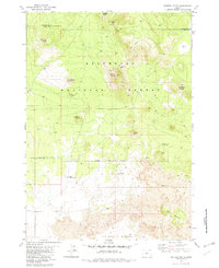
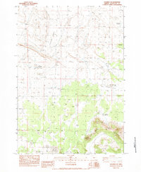
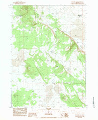
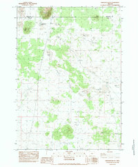
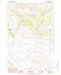
(48)- 1980 Map of Bend, 1993 Print
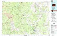 1980 Bend1993 Print · USGSCentral Oregon was evolving rapidly in the early eighties as outdoor recreation and transit hubs like Bend and Redmond expanded. Trace the historical footprints of Sisters, the Metolius River basin, and the Oregon Trunk Railway through the high desert.2 unique versions available
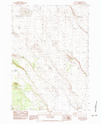
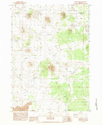
 - 1981 Map of Fox Butte
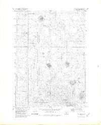
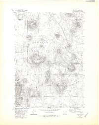 1981 Fox Butte1981 Print · USGSThe high desert volcanic landscape of Lake and Deschutes Counties comes into focus in the early 1980s. Local history researchers can trace water infrastructure vital to the region, including Kittredge Reservoir, Derrick Well, and the remote Glen Cabin.2 unique versions available
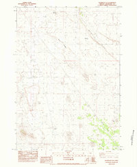
 - 1981 Map of Hat Butte
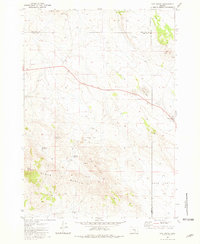 1981 Hat Butte1981 Print · USGSThe high desert of Lake County meets the borders of Harney and Deschutes in the early eighties, showing a landscape of volcanic peaks and isolated ranching outposts. Trace the locations of historic livestock infrastructure at Carlon Corral or geological landmarks like Glass Buttes and Midnight Point.
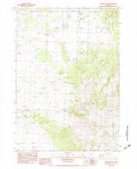
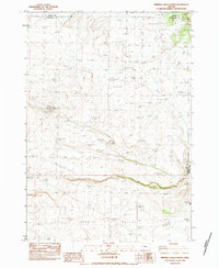
 - 1981 Map of Prineville
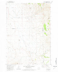
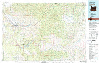 1981 Prineville1981 Print · USGSPrineville and the Crooked River valley are seen here in the early eighties as the region balanced timber, ranching, and new water management projects. Genealogists and local historians can trace family-named landmarks like Watkins, locate the Cem, or find old mining sites such as the Amity Mine.
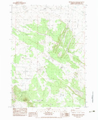
 - 1981 Map of Plot Butte
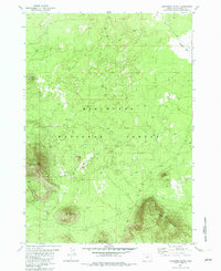
 1981 Plot Butte1981 Print · USGSThe high volcanic plateau of central Oregon appears here in the early eighties, dominated by the cinder cones and pumice flats of the Deschutes National Forest. Researchers can trace remote water sources and geological features like Lavacicle Cave, Pumice Springs, and Fox Butte Corral.2 unique versions available
 - 1981 Map of Dust Bowl, 1982 Print
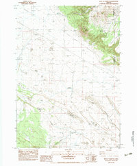
 1981 Dust Bowl1982 Print · USGSHigh-desert cattle country comes into focus in the late 1970s at the junction of Crook, Deschutes, and Harney counties. Ranchers and historians can trace vital water sources like Triple L Waterhole, Juniper Spring, and the isolated Buck Creek Ranch.
 - 1982 Map of China Hat
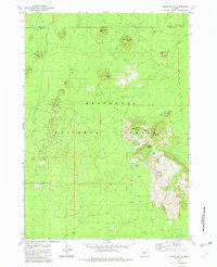
 1982 China Hat1982 Print · USGSDeschutes County was a landscape of volcanic peaks and forestry service outposts in the early eighties. Local historians can trace the network of 4WD trails leading to high-desert landmarks like Matz Ice Cave, the China Hat Station, and the Sabol Butte Cinder Pit.
 - 1982 Map of East Lake
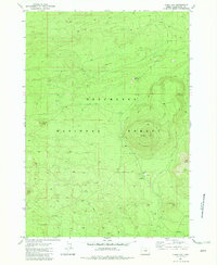
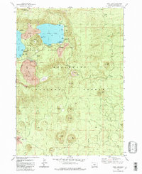 1982 East Lake1982 Print · USGSDeschutes County's volcanic heart is recorded here in the early eighties, centered on the caldera lake and its surrounding lava flows. Researchers can trace the layout of primitive campsites, the Pumice Mine, and specialized landmarks like the Geothermal Test Well or the Big Obsidian Flow.
 - 1982 Map of Sixteen Butte
 1982 Sixteen Butte1982 Print · USGSThe high desert border of Lake and Deschutes counties comes alive in the early eighties, showing a landscape shaped by volcanic flows and sparse water. Trace the locations of Mortimer Well and Steigleder Well, or locate the specific site of Oregons Largest Juniper Tree.2 unique versions available
 - 1982 Map of Firestone Butte
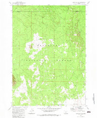
 1982 Firestone Butte1982 Print · USGSDeschutes National Forest land in the early 1980s is defined here by its high volcanic peaks and timber access routes. Researchers can trace forest management and resource sites like the Lookout Tower on East Butte and several scattered Cinder Pits.
 - 1982 Map of Indian Butte
 1982 Indian Butte1982 Print · USGSThe high desert forests of Central Oregon appear here in the early eighties as a landscape of volcanic cones and forestry access roads. Trace the locations of mountain summits and mining sites like Indian Butte, Sugar Pine Ridge, and the Amota Butte Cinder Pit.
 - 1982 Map of South Ice Cave, 1983 Print
 1982 South Ice Cave1983 Print · USGSThe high desert border of Deschutes and Lake counties is captured here in the early 1980s, detailing a landscape shaped by volcanic activity. Researchers can locate specific water sources and geological features like Pine Lake, Lava Pass, and the South Ice Cave.
 - 1983 Map of Soldiers Cap
 1983 Soldiers Cap1983 Print · USGSDeschutes County’s high desert landscape is captured here in the early eighties, revealing a network of remote water sources and cattle-range landmarks. Genealogists and historians can locate family-named sites and essential water points like Cruiser Well, Last Chance Ridge, and Soldiers Cap.
 - 1983 Map of Potato Lake
 1983 Potato Lake1983 Print · USGSLake County ranching and water rights take center stage in the early 1980s as this survey tracks the life-giving infrastructure of the high desert. Researchers can trace historic family-named landmarks and water sources like Browns Well, Studhorse Waterhole, and Parmele Ridge.
 - 1983 Map of Hampton Butte
 1983 Hampton Butte1983 Print · USGSThe high desert of Crook and Deschutes Counties is captured here in the early 1980s, showing a landscape defined by ranching and remote ridgelines. Researchers can trace land use through features like Barbaras Ranch, Headquarters Waterhole, and the prominent Hampton Butte.
 - 1983 Map of Imperial Valley South
 1983 Imperial Valley South1983 Print · USGSDeschutes County's high desert landscape comes into focus during the early eighties, showcasing a region of remote wells and volcanic buttes. Trace the locations of historic water sources like Nershal Well, Meeks Waterhole, and Sunflower Lake.
 - 1983 Map of Benjamin Lake
 1983 Benjamin Lake1983 Print · USGSThe high desert along the Deschutes and Lake County line comes into focus in the early 1980s, revealing a landscape of volcanic buttes and critical water sources. You can trace remote routes to landmarks like Benjamin Caves, Yreka Butte, and Mahogany Waterhole.
 - 1983 Map of Oakridge
 1983 Oakridge1983 Print · USGSThe Cascades of Lane County are shown in the early eighties, centered on the timber and rail corridors of the Willamette. Genealogists and historians can trace the Southern Pacific line through Oakridge or find old mining sites like Mayflower Mine.
 - 1983 Map of West of Hampton
 1983 West of Hampton1983 Print · USGSThe high desert border of Deschutes and Crook counties appears in the early 1980s as a land of volcanic buttes and vital waterholes. Researchers can trace remote infrastructure from Imperial Well and Brick Well to the elevations of Hampton Buttes.
 - 1983 Map of Last Chance Lake
 1983 Last Chance Lake1983 Print · USGSThe high desert of Lake County is documented here in the early 1980s, showcasing a landscape of volcanic buttes and seasonal basins. Researchers can trace remote water sources and landmarks like Last Chance Well, Chewaucan Slough, and Kilgore Butte.
 - 1983 Map of Frederick Butte
 1983 Frederick Butte1983 Print · USGSThe high-desert border of Lake and Deschutes counties comes into focus in the early 1980s, showcasing a terrain shaped by volcanic buttes and seasonal basins. Researchers can trace the path of the Single Wooden Pole Powerline or locate reliable water sources like Hayes Spring and Concentration Reservoir No 3.
 - 1983 Map of Walker Butte
 1983 Walker Butte1983 Print · USGSHigh-desert Oregon at the start of the 1980s reveals a landscape of volcanic buttes and isolated water sources along the Deschutes and Lake county lines. Researchers can find remote sites like Walker Cabin, Jaynes Well, and the edge of the East Lava Field.2 unique versions available
 - 1983 Map of Dickerson Flat
 1983 Dickerson Flat1983 Print · USGSHigh desert ranching and volcanic geology converge in Central Oregon during the early eighties. Researchers can trace land use through isolated landmarks like Corral/Dickerson Well, Whiskey Spring, and Spicer Flat.
 - 1983 Map of Imperial Valley North
 1983 Imperial Valley North1983 Print · USGSHigh-desert rangeland on the Crook and Deschutes county line is captured here in the early 1980s. Local history researchers can trace utility corridors and land use via the SUBSTATION, the Dry River channel, and the BORROW PIT near Grassy Butte.
 - 1983 Map of Hampton
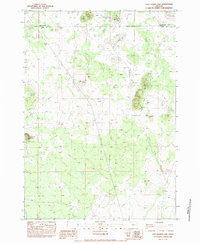
 1983 Hampton1983 Print · USGSHigh-desert ranching life in Deschutes County during the early eighties is defined by the vital springs and wells scattered across the sagebrush. Genealogists and desert explorers can trace early landmarks like Rolyat, Old Maid Well, and the remote Coyote Hole.
Showing maps 1-25 of 48
Top cities of Deschutes County
Frequently asked questions
- What are the different types of historical maps available for Deschutes County?
- What is the oldest map of Deschutes County?
- Where can I purchase historical maps of Deschutes County for my home or office?
- Where can I download high-res historical maps of Deschutes County?
- Are there historical topographic maps available for Deschutes County?
- Is there historical aerial imagery available for Deschutes County?
- Where are historical maps of Deschutes County sourced from?