2000s (21st Century) Maps of Deschutes County, Oregon
Explore 372 historic maps of Deschutes County from the 2000s (21st Century). These maps offer a rare glimpse into what life looked like during the 2000s — showing old roads, neighborhoods, homes, and landmarks that have changed or disappeared over time.
Whether you're researching your family's past, planning a metal detecting trip, or studying how Deschutes County's landscape evolved across the 2000s, these high-resolution maps are a powerful tool for exploring the history of this region.
- Focus on a specific era: All maps on this page are from the 2000s, giving you a focused view of this time period.
- See what’s changed: Compare century-old streets, trails, and buildings to today's modern landscape using overlays and satellite layers.
- Research with precision: Use these maps for genealogy, historical research, land use analysis, or educational projects.
- View, download, or print: Maps are fully viewable online in high resolution, and can be downloaded or printed for your own records.
Start exploring Deschutes County's history through authentic maps from the 2000s. This is your window into the past.
Deschutes County, OR maps
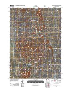
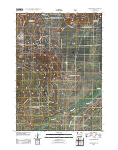
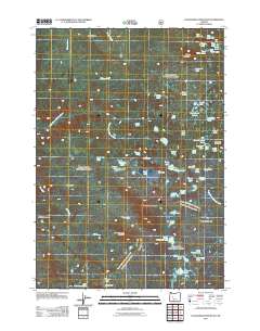
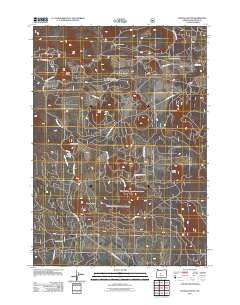
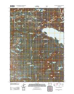
(372)- 2011 Map of Pine Mountain, 2011 Print
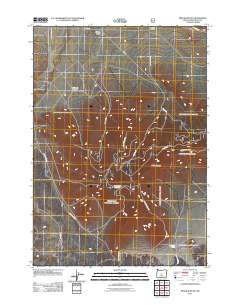 2011 Pine Mountain2011 Print · USGSCovers Deschutes County, including United States, Oregon, and other nearby areas
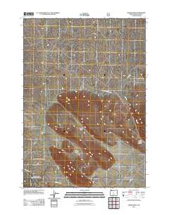
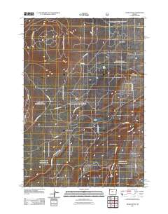
 - 2011 Map of Sixteen Butte, 2011 Print
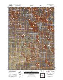 2011 Sixteen Butte2011 Print · USGSCovers Deschutes County, including Lake County, United States, and other nearby areas
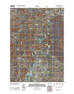
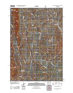
 - 2011 Map of Plot Butte, 2011 Print
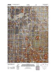 2011 Plot Butte2011 Print · USGSCovers Deschutes County, including United States, Oregon, and other nearby areas
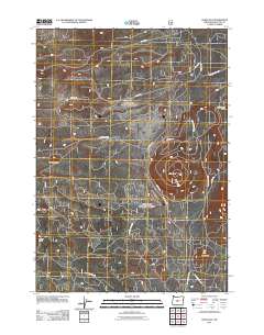
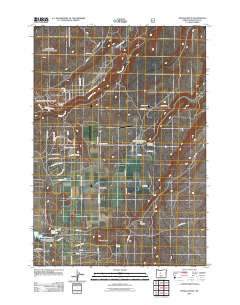
 - 2011 Map of Firestone Butte, 2011 Print
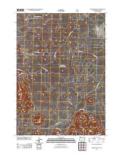 2011 Firestone Butte2011 Print · USGSCovers Deschutes County, including United States, Oregon, and other nearby areas
 - 2011 Map of Millican SE, 2011 Print
 2011 Millican SE2011 Print · USGSCovers Deschutes County, including United States, Oregon, and other nearby areas
 - 2011 Map of Fox Butte, 2011 Print
 2011 Fox Butte2011 Print · USGSCovers Deschutes County, including Lake County, United States, and other nearby areas
 - 2011 Map of Finley Butte, 2011 Print
 2011 Finley Butte2011 Print · USGSCovers Deschutes County, including La Pine, United States, and other nearby areas
 - 2011 Map of Masten Butte, 2011 Print
 2011 Masten Butte2011 Print · USGSCovers Deschutes County, including Klamath County, United States, and other nearby areas
 - 2011 Map of Round Mountain, 2011 Print
 2011 Round Mountain2011 Print · USGSCovers Deschutes County, including United States, Oregon, and other nearby areas
 - 2011 Map of Paulina Peak, 2011 Print
 2011 Paulina Peak2011 Print · USGSCovers Deschutes County, including United States, Oregon, and other nearby areas
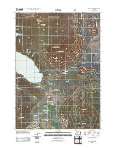
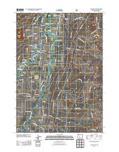
 - 2011 Map of La Pine, 2011 Print
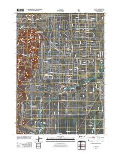 2011 La Pine2011 Print · USGSCovers Deschutes County, including La Pine, United States, and other nearby areas
 - 2011 Map of East Lake, 2011 Print
 2011 East Lake2011 Print · USGSCovers Deschutes County, including United States, Oregon, and other nearby areas
 - 2011 Map of Cryder Butte, 2011 Print
 2011 Cryder Butte2011 Print · USGSCovers Deschutes County, including Klamath County, United States, and other nearby areas
 - 2011 Map of Horse Ridge, 2011 Print
 2011 Horse Ridge2011 Print · USGSCovers Deschutes County, including United States, Oregon, and other nearby areas
 - 2011 Map of Benham Falls, 2011 Print
 2011 Benham Falls2011 Print · USGSCovers Deschutes County, including Sunriver, United States, and other nearby areas
 - 2011 Map of China Hat, 2011 Print
 2011 China Hat2011 Print · USGSCovers Deschutes County, including United States, Oregon, and other nearby areas
 - 2011 Map of Packsaddle Mountain, 2011 Print
 2011 Packsaddle Mountain2011 Print · USGSCovers Deschutes County, including Lane County, United States, and other nearby areas
 - 2011 Map of Odell Lake, 2011 Print
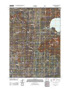
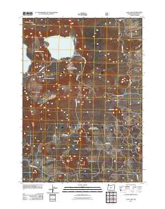
 2011 Odell Lake2011 Print · USGSCovers Deschutes County, including Odell Lake, Crescent Lake, and other nearby areas
 - 2011 Map of Anns Butte, 2011 Print
 2011 Anns Butte2011 Print · USGSCovers Deschutes County, including Three Rivers, United States, and other nearby areas
 - 2011 Map of Wanoga Butte, 2011 Print
 2011 Wanoga Butte2011 Print · USGSCovers Deschutes County, including United States, Oregon, and other nearby areas
 - 2011 Map of Willamette Pass, 2011 Print
 2011 Willamette Pass2011 Print · USGSCovers Deschutes County, including Lane County, Klamath County, and other nearby areas
 - 2011 Map of Akawa Butte, 2011 Print
 2011 Akawa Butte2011 Print · USGSCovers Deschutes County, including Jefferson County, United States, and other nearby areas
 - 2011 Map of Little Akawa Butte, 2011 Print
 2011 Little Akawa Butte2011 Print · USGSCovers Deschutes County, including Jefferson County, United States, and other nearby areas
 - 2011 Map of Henkle Butte, 2011 Print
 2011 Henkle Butte2011 Print · USGSCovers Deschutes County, including Cloverdale, United States, and other nearby areas
 - 2011 Map of Steelhead Falls, 2011 Print
 2011 Steelhead Falls2011 Print · USGSCovers Deschutes County, including Jefferson County, United States, and other nearby areas
Showing maps 1-25 of 372
Top cities of Deschutes County
Frequently asked questions
- What are the different types of historical maps available for Deschutes County?
- What is the oldest map of Deschutes County?
- Where can I purchase historical maps of Deschutes County for my home or office?
- Where can I download high-res historical maps of Deschutes County?
- Are there historical topographic maps available for Deschutes County?
- Is there historical aerial imagery available for Deschutes County?
- Where are historical maps of Deschutes County sourced from?