1980s Maps of Douglas County, Oregon
Explore 104 historic maps of Douglas County from the 1980s. These maps offer a rare glimpse into what life looked like during the 1980s — showing old roads, neighborhoods, homes, and landmarks that have changed or disappeared over time.
Whether you're researching your family's past, planning a metal detecting trip, or studying how Douglas County's landscape evolved across the 1980s, these high-resolution maps are a powerful tool for exploring the history of this region.
- Focus on a specific era: All maps on this page are from the 1980s, giving you a focused view of this time period.
- See what’s changed: Compare century-old streets, trails, and buildings to today's modern landscape using overlays and satellite layers.
- Research with precision: Use these maps for genealogy, historical research, land use analysis, or educational projects.
- View, download, or print: Maps are fully viewable online in high resolution, and can be downloaded or printed for your own records.
Start exploring Douglas County's history through authentic maps from the 1980s. This is your window into the past.
Douglas County, OR maps
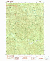
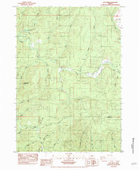
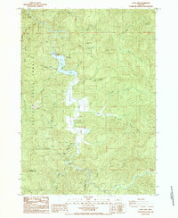
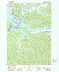
(104)- 1980 Map of Reedsport, 1987 Print
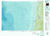 1980 Reedsport1987 Print · USGSThe Oregon coast at the dawn of the 1980s reveals a landscape defined by timber, tourism, and the shifting sands of the Oregon Dunes. Local historians can trace the rail-and-river economy through Reedsport, the historic timber town of Gardiner, and the lakeside community of Lakeside.
 - 1983 Map of Oakridge
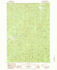
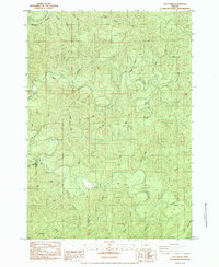
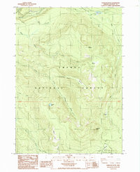
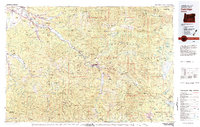 1983 Oakridge1983 Print · USGSThe Cascades of Lane County are shown in the early eighties, centered on the timber and rail corridors of the Willamette. Genealogists and historians can trace the Southern Pacific line through Oakridge or find old mining sites like Mayflower Mine.
 - 1983 Map of King Mountain
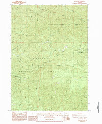
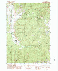
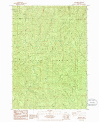
 1983 King Mountain1983 Print · USGSThe peaks and drainages of Southern Oregon are recorded here during the early 1980s. Researchers can trace the intersections of three counties while locating features like Onion Spring, Waggoner Gap, and the high point of King Mountain.
 - 1984 Map of Tahkenitch Creek
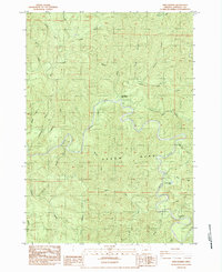
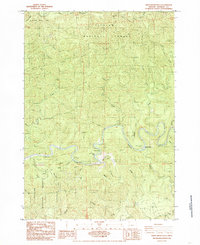
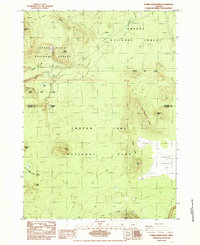
 1984 Tahkenitch Creek1984 Print · USGSThe Oregon coast in the mid-1980s reveals a wild landscape of shifting sands and interconnected lakes between the ocean and the national forest. Researchers can trace the path of the Oregon Coast Highway past the Kroll (Site) and explore the varied arms of Tahkenitch Lake.
 - 1984 Map of Roman Nose Mtn
 1984 Roman Nose Mtn1984 Print · USGSThe Oregon Coast Range near the Lane and Douglas county line shows a landscape of timber and topography in the early eighties. Genealogists and researchers can trace the Southern Pacific rail line, find a remote Cem, or locate landmarks like Roman Nose Mtn.
 - 1984 Map of Gunter
 1984 Gunter1984 Print · USGSThe Oregon Coast Range at the Douglas and Lane county line comes alive in the mid-eighties. Genealogists and historians can trace the remote settlement at Gunter, locating the local Cem, a Quarry, and the winding banks of the Smith River.
 - 1984 Map of Beaver Creek
 1984 Beaver Creek1984 Print · USGSCoastal Oregon timberlands and the Lane-Douglas border are captured in this mid-1980s survey. Researchers can trace remote landmarks like the Beaver Creek School and the headwaters of the Suislaw River and Smith River.
 - 1984 Map of Goodwin Peak
 1984 Goodwin Peak1984 Print · USGSThe Oregon Coast Range in the mid-1980s is captured here, showing the heavily timbered ridges and deep creek valleys of the Siuslaw National Forest. Researchers can locate the settlement of Maple and trace remote landmarks like Mt Popocatepetl and Sweet Creek Falls.
 - 1984 Map of Baldy Mtn
 1984 Baldy Mtn1984 Print · USGSThe Oregon Coast Range in the mid-1980s is captured here, showing the managed timberlands of the Siuslaw Nat For and the rugged drainage of the North Fork Smith River. Researchers can trace old logging routes to sites like the Quarry and North Fork Falls or locate landmarks like Baldy Mtn and Mt Grayback.
 - 1984 Map of Twin Sisters
 1984 Twin Sisters1984 Print · USGSDouglas County's river-cut timberlands are documented here in the mid-1980s, centered on the winding Smith River. Researchers can trace the footprints of old settlements at Twin Sisters (Site) and Damewood (Site) or locate the Twin Sisters Campground.
 - 1984 Map of North Fork
 1984 North Fork1984 Print · USGSCoastal Oregon's timber and river country is captured here in the mid-1980s, centered on the Douglas and Lane County line. Genealogists and local historians can trace family-named landmarks like Noel Ranch, Henderson Peak, and the community hub at the Smith River Grange.
 - 1984 Map of Letz Creek
 1984 Letz Creek1984 Print · USGSThe Siuslaw River headwaters at the Lane and Douglas county line were still defined by their timber heritage in the mid-1980s. Researchers can trace historic transport routes like the Old RR Grade and find local landmarks such as Siuslaw Falls and Lorane Grange Cem.
 - 1984 Map of Clay Creek
 1984 Clay Creek1984 Print · USGSThe Oregon Coast Range in the mid-1980s reveals a landscape of deep timber drainages and riverside outposts along the Siuslaw River. Genealogists and hikers can trace old family landmarks and early campgrounds, from the Clay Creek Recreation Site to Farman Flat.
 - 1984 Map of Lorane
 1984 Lorane1984 Print · USGSSouthern Lane County in the mid-1980s reveals a landscape of timbered ridges and river headwaters at the edge of the Coast Range. Researchers can trace the Southern Pacific rail line and locate old community hubs like Lorane, Mill Camp, and Royal.
 - 1984 Map of Smith River Falls, 1985 Print
 1984 Smith River Falls1985 Print · USGSCoastal timberlands and the winding river corridor of Douglas County are documented here in the mid-1980s. Local historians and outdoor enthusiasts can trace the river's path to Smith River Falls or locate the historic Johnson Ngs survey point atop the ridges.
 - 1984 Map of Fivemile Creek, 1987 Print
 1984 Fivemile Creek1987 Print · USGSThe Oregon coast at the Douglas and Lane County line is captured here in the early eighties, where the Southern Pacific railroad meets the forest. Genealogists and historians can trace the locations of Ada Station, Fir Grove Cem, and the former settlement at Booth (Site).
 - 1985 Map of Pumice Desert East
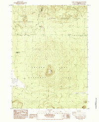 1985 Pumice Desert East1985 Print · USGSThe high volcanic country of Klamath County is captured here in the mid-1980s as it transitions from national forest to national park. Map collectors and hikers can trace the Pacific Crest National Scenic Trail past Timber Crater and the unique expanse of the Pumice Desert.
 - 1985 Map of Trail Butte
 1985 Trail Butte1985 Print · USGSThe coastal hills of Coos and Douglas counties are mapped here in the mid-1980s, showcasing the dense timberlands and lake systems. Researchers can trace the fingers of North Tenmile Lake and locate old sites like Camp Easter Seal and the Hatchery.
 - 1985 Map of Lakeside
 1985 Lakeside1985 Print · USGSThe Oregon coast at the mid-eighties shows a landscape of deep freshwater lakes and massive dunes. Genealogists and researchers can trace the growth of Lakeside and Saunders Lake, or locate the cemetery, US Naval Reservation, and old campgrounds.
 - 1985 Map of Thousand Springs
 1985 Thousand Springs1985 Print · USGSThe Southern Cascades meet in the mid-1980s at the intersection of federal lands and rugged volcanic terrain. Researchers can trace the headwaters of the Rogue River and locate seasonal sites like Whisky Camp, Huckleberry Mtn Camp, and the unique Sphagnum Bog.
 - 1985 Map of Loon Lake
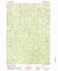
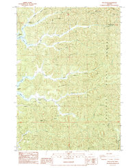
 1985 Loon Lake1985 Print · USGSLoon Lake and the Elliott State Forest are shown here in the mid-1980s, highlighting the balance of timberland and recreation. You can trace the settlement at Ash, find the East Shore Recreation Site, and locate distinctive landmarks like Beehive Rock and Michigan Pass.
 - 1985 Map of Garwood Butte
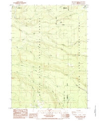
 1985 Garwood Butte1985 Print · USGSUmpqua National Forest and its high-elevation terrain are documented in the mid-1980s just as these backcountry areas were being further mapped. Researchers can trace forest management and water resources through landmarks like Whitehorse Falls, Old Man Camp, and Garwood Butte.
 - 1985 Map of Elk Peak
 1985 Elk Peak1985 Print · USGSCoastal Oregon's timberlands are mapped in detail during the mid-1980s, centered on the high ridges of the Elliott State Forest. Researchers can trace the drainages of the West Fork Millicoma River and locate landmarks like Dean Mountain and the Radio Tower at Elk Peak.
 - 1985 Map of Pumice Desert West
 1985 Pumice Desert West1985 Print · USGSThe northern volcanic reaches of Crater Lake are captured here in the mid-1980s as the region's wilderness character was being formally preserved. Researchers can trace the Pacific Crest National Scenic Trail across the Pumice Desert and locate the headwaters of the Rogue River at Boundary Springs.
 - 1985 Map of Reedsport
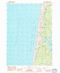
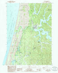
 1985 Reedsport1985 Print · USGSThe riverfront towns of Reedsport and Gardiner are shown here in the mid-eighties, positioned at the confluence of the Smith and Umpqua Rivers. Local historians can trace industrial roots at the Paper Mill and Sawmill or locate landmarks like the Cem and Gardiner Reservoir.
Showing maps 1-25 of 104
Top cities of Douglas County
- Roseburg historical maps
- Sutherlin historical maps
- Winston historical maps
- Reedsport historical maps
- Myrtle Creek historical maps
- Canyonville historical maps
See more
Frequently asked questions
- What are the different types of historical maps available for Douglas County?
- What is the oldest map of Douglas County?
- Where can I purchase historical maps of Douglas County for my home or office?
- Where can I download high-res historical maps of Douglas County?
- Are there historical topographic maps available for Douglas County?
- Is there historical aerial imagery available for Douglas County?
- Where are historical maps of Douglas County sourced from?