2020s Maps of Douglas County, Oregon
Explore 252 historic maps of Douglas County from the 2020s. These maps offer a rare glimpse into what life looked like during the 2020s — showing old roads, neighborhoods, homes, and landmarks that have changed or disappeared over time.
Whether you're researching your family's past, planning a metal detecting trip, or studying how Douglas County's landscape evolved across the 2020s, these high-resolution maps are a powerful tool for exploring the history of this region.
- Focus on a specific era: All maps on this page are from the 2020s, giving you a focused view of this time period.
- See what’s changed: Compare century-old streets, trails, and buildings to today's modern landscape using overlays and satellite layers.
- Research with precision: Use these maps for genealogy, historical research, land use analysis, or educational projects.
- View, download, or print: Maps are fully viewable online in high resolution, and can be downloaded or printed for your own records.
Start exploring Douglas County's history through authentic maps from the 2020s. This is your window into the past.
Douglas County, OR maps
(252)- 2020 Map of Lakeside, 2020 Print
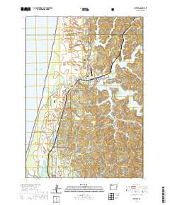 2020 Lakeside2020 Print · USGSLakeside and the surrounding Oregon coast are captured here in the contemporary era, defined by a maze of freshwater lakes and massive dunes. Genealogists and researchers can locate Lakeside Cem, the Lakeside Municipal Airport, and tracing family names along Larsen Ranch Rd and Saunders Creek.
 - 2020 Map of Quines Creek, 2020 Print
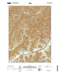 2020 Quines Creek2020 Print · USGSSouthern Douglas County at the start of the 2020s shows a landscape of mountain ridges and narrow creek-side settlements. Researchers can trace family sites and rural infrastructure through the Quines Creek Cem, the Nace Family Airstrip, and Schoolhouse Spring.
 - 2020 Map of Tiller, 2020 Print
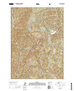 2020 Tiller2020 Print · USGSTiller and the surrounding Umpqua National Forest are captured here during a period of modern forest management and rural habitation. Genealogists and hikers can trace the valley roads to Coffee Creek Cem, Rainville Cem, and high points like Rondeau Butte.
 - 2020 Map of Sugarpine Creek, 2020 Print
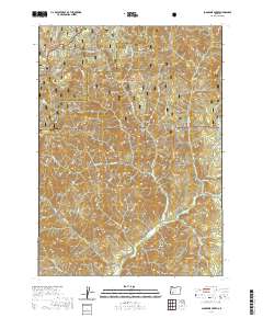 2020 Sugarpine Creek2020 Print · USGSThe Douglas and Jackson county line runs through this mountain landscape in the 2020s, dominated by the national forests. Researchers can trace the drainages of Sugarpine Creek and identify landmarks like Abbott Prairie, Buckhorn Mtn, and Gobblers Knob.
 - 2020 Map of McCullough Creek, 2020 Print
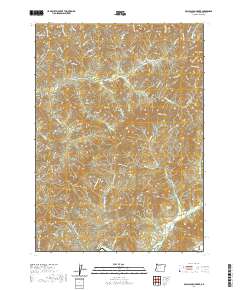 2020 McCullough Creek2020 Print · USGSDouglas County’s timberlands and high ridges are documented in this 2020 study of the coastal range interior. Researchers can trace the network of logging spurs and fire roads to named landmarks like Silver Butte, Bernstein Spring, and Fir Point.
 - 2020 Map of Rabbit Mountain, 2020 Print
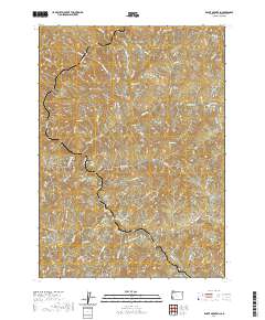 2020 Rabbit Mountain2020 Print · USGSDouglas County’s timber and drainage networks are meticulously detailed in this recent survey of the area around Cow Creek. Local historians can trace access routes like the Audie Ck Mainline and Gold Hill Rd past Rabbit Mtn and Benson Gulch.
 - 2020 Map of Chipmunk Ridge, 2020 Print
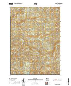 2020 Chipmunk Ridge2020 Print · USGSDouglas County timberlands and high ridges are shown here in the early twenty-first century as a network of forest roads and remote peaks. Researchers can trace historic access routes like Bradford Station Rd or locate landmarks such as Big Dutchman Butte and Michigan Spring.
 - 2020 Map of Abbott Butte, 2020 Print
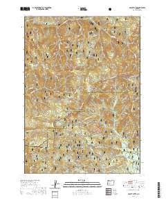 2020 Abbott Butte2020 Print · USGSThe high divide between Jackson and Douglas counties is captured here in the contemporary era of forest management. Researchers and hikers can trace remote landmarks like Abbott Butte, Donegan Prairies, and the waters of Huckleberry Lake.
 - 2020 Map of Richter Mountain, 2020 Print
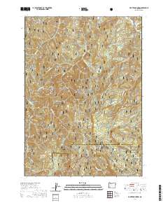 2020 Richter Mountain2020 Print · USGSJackson and Douglas Counties meet among these high Southern Oregon ridges during the early twenty-first century. Researchers can trace the drainage of Cow Creek and find specific landmarks like Richter Mtn, Drew Lake, and the historic pass at Tombstone Gap.
 - 2020 Map of Butler Butte, 2020 Print
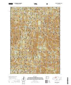 2020 Butler Butte2020 Print · USGSThe Douglas and Jackson County line crosses this high Cascade terrain in 2020, where the national forests meet. Outdoor researchers can trace the intricate network of forest roads leading to Butler Butte, Cow Horn Arch, and the isolated Bunchgrass Meadows.
 - 2020 Map of Pickett Butte, 2020 Print
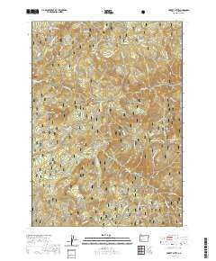 2020 Pickett Butte2020 Print · USGSThe Oregon Cascades in Douglas County are shown in great detail during the twenty-first century, revealing a landscape of high prairies and prominent peaks. Researchers can trace forest access routes to landforms like Pickett Butte, Hamlin Prairie, and Bunchgrass Meadows.
 - 2020 Map of Ragsdale Butte, 2020 Print
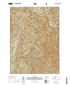 2020 Ragsdale Butte2020 Print · USGSThe high divide between Jackson and Douglas counties is captured here in the contemporary era. Trace the forest road network and hydrologic features like Ragsdale Spring, Oliver Spring, and the rocky heights of Pilot Rock.
 - 2020 Map of Nickel Mountain, 2020 Print
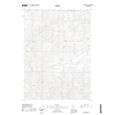 2020 Nickel Mountain2020 Print · USGSRiddle and the surrounding Douglas County uplands are documented in this 2020 survey during a period of modern resource management. Researchers can locate the Riddle Cem or trace the drainage of Cow Creek past landmarks like Nickel Mtn and Hiles Reservoir.
 - 2020 Map of Starvout Creek, 2020 Print
 2020 Starvout Creek2020 Print · USGSThe Southern Oregon mountains come alive in the late twenty-teens, showing a landscape defined by the Galesville Reservoir and a sprawling network of timber and access roads. Researchers can trace the drainages of creatively named creeks like Fizzleout Cr and Starvout Cr or locate family landmarks near Benjamin Gulch.
 - 2020 Map of Twin Lakes Mountain, 2020 Print
 2020 Twin Lakes Mountain2020 Print · USGSThe high Cascade country of Douglas County is captured here in the early twenty-first century, showing the dense network of forest service roads and high-altitude landmarks. Trace the elevations between Twin Lakes Mtn and Doehead Mtn, or locate smaller alpine features like Alligator Lake and Sheep Prairie.
 - 2020 Map of Illahee Rock, 2020 Print
 2020 Illahee Rock2020 Print · USGSThe North Umpqua river canyon and its surrounding high-country lookouts are documented in this recent survey of the Oregon wilderness. Local historians and hikers can trace forest service access points around Illahee Rock, Marsters Bridge, and the Devils Stairway.
 - 2020 Map of Diamond Lake, 2020 Print
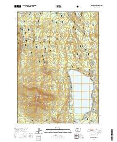 2020 Diamond Lake2020 Print · USGSDiamond Lake and the surrounding High Cascades are documented here in the early twenty-first century as a premier recreational landscape. Outdoor enthusiasts and researchers can trace the intricate Dellenback Bike Path, the slopes of Mt Bailey, and remote waters like Teal Lake.
 - 2020 Map of Mount Thielsen, 2020 Print
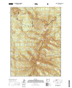 2020 Mount Thielsen2020 Print · USGSThe high Cascade crest at the Douglas and Klamath county line is captured here in the modern era. Hikers and researchers can trace the Pacific Crest National Scenic Trail as it passes Mt Thielsen, Sawtooth Ridge, and the winter routes near Wits End.
 - 2020 Map of Chilcoot Mountain, 2020 Print
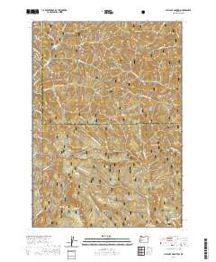 2020 Chilcoot Mountain2020 Print · USGSUmpqua National Forest land along the Lane and Douglas county line is captured here in the 2020s. Hikers and researchers can trace the high-elevation routes around Chilcoot Mtn, McKinley Rock, and the sheer faces of Hipower Bluffs.
 - 2020 Map of Burnt Mountain, 2020 Print
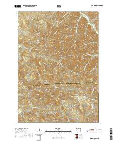 2020 Burnt Mountain2020 Print · USGSThe high ridges of the Cascades foothills come into focus in the 2020s, revealing a landscape defined by forestry routes and dramatic peaks. Researchers can trace the historical Bohemia Rd and locate landmarks like Kellys Bluff, Cougar Bend, and Lower Elk Meadows.
 - 2020 Map of Silica Mountain, 2020 Print
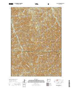 2020 Silica Mountain2020 Print · USGSThe western Cascades come into focus in 2020 at the boundary of Lane and Douglas counties. Researchers can trace the high ridgelines of the Calapooya Divide and the headwaters of E Fork Mosby Cr and Quartz Cr near Silica Mtn.
 - 2020 Map of Dumont Creek, 2020 Print
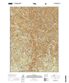 2020 Dumont Creek2020 Print · USGSDouglas County’s wilderness near the turn of the decade is defined by the deep canyons of the South Umpqua River and its many tributaries. Trace the network of forest roads leading to landmarks like Campbell Falls, Smith Ridge, and Hob Knob.
 - 2020 Map of Fairview Peak, 2020 Print
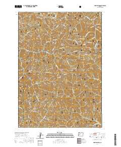 2020 Fairview Peak2020 Print · USGSThe high ridges of the Oregon Cascades come into focus in this recent survey, capturing the divide between Lane and Douglas counties. Researchers can trace the steep geography of the Umpqua National Forest, identifying remote landmarks like Fairview Peak, Crystal Lake, and Utopian Saddle.
 - 2020 Map of Cowhorn Mountain, 2020 Print
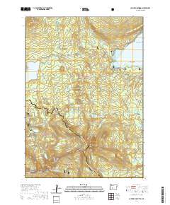 2020 Cowhorn Mountain2020 Print · USGSThe high Cascade crest at the Douglas and Klamath county line comes alive in this contemporary survey of the peaks and alpine basins. Researchers can trace the winding route of the Pacific Crest National Scenic Trail through Windy Pass and locate remote water bodies like Indigo Lake and Bingham Lakes.
 - 2020 Map of Fish Mountain, 2020 Print
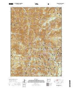 2020 Fish Mountain2020 Print · USGSDouglas County’s high mountain divide is documented here in the early twenty-first century, spanning the crest where two national forests meet. Outdoor historians and backcountry enthusiasts can trace old routes like the Acker Divide and find landmarks such as Rabbit Ears and Happy Valley.
Showing maps 1-25 of 252
Top cities of Douglas County
- Roseburg historical maps
- Sutherlin historical maps
- Winston historical maps
- Reedsport historical maps
- Myrtle Creek historical maps
- Canyonville historical maps
See more
Frequently asked questions
- What are the different types of historical maps available for Douglas County?
- What is the oldest map of Douglas County?
- Where can I purchase historical maps of Douglas County for my home or office?
- Where can I download high-res historical maps of Douglas County?
- Are there historical topographic maps available for Douglas County?
- Is there historical aerial imagery available for Douglas County?
- Where are historical maps of Douglas County sourced from?