2000s (21st Century) Maps of Washington County, Pennsylvania
Explore 146 historic maps of Washington County from the 2000s (21st Century). These maps offer a rare glimpse into what life looked like during the 2000s — showing old roads, neighborhoods, homes, and landmarks that have changed or disappeared over time.
Whether you're researching your family's past, planning a metal detecting trip, or studying how Washington County's landscape evolved across the 2000s, these high-resolution maps are a powerful tool for exploring the history of this region.
- Focus on a specific era: All maps on this page are from the 2000s, giving you a focused view of this time period.
- See what’s changed: Compare century-old streets, trails, and buildings to today's modern landscape using overlays and satellite layers.
- Research with precision: Use these maps for genealogy, historical research, land use analysis, or educational projects.
- View, download, or print: Maps are fully viewable online in high resolution, and can be downloaded or printed for your own records.
Start exploring Washington County's history through authentic maps from the 2000s. This is your window into the past.
Washington County, PA maps
(146)- 2010 Map of Ellsworth, 2010 Print
 2010 Ellsworth2010 Print · USGSCovers Washington County, including Bentleyville, Ellsworth, and other nearby areas
 - 2010 Map of California, 2010 Print
 2010 California2010 Print · USGSCovers Washington County, including California, Luzerne Township, and other nearby areas
 - 2010 Map of Fayette City, 2010 Print
 2010 Fayette City2010 Print · USGSCovers Washington County, including Redstone, Perryopolis, and other nearby areas
 - 2010 Map of Burgettstown, 2010 Print
 2010 Burgettstown2010 Print · USGSCovers Washington County, including Burgettstown, Jefferson Township, and other nearby areas
 - 2010 Map of Donora, 2010 Print
 2010 Donora2010 Print · USGSCovers Washington County, including Monessen, Donora, and other nearby areas
 - 2010 Map of Monongahela, 2010 Print
 2010 Monongahela2010 Print · USGSCovers Washington County, including Monessen, Charleroi, and other nearby areas
 - 2010 Map of Canonsburg, 2010 Print
 2010 Canonsburg2010 Print · USGSCovers Washington County, including Cecil Township, Canonsburg, and other nearby areas
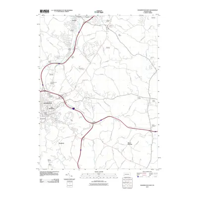
 - 2010 Map of Washington West, 2010 Print
 2010 Washington West2010 Print · USGSCovers Washington County, including Washington, South Strabane Township, and other nearby areas
 - 2010 Map of Glassport, 2010 Print
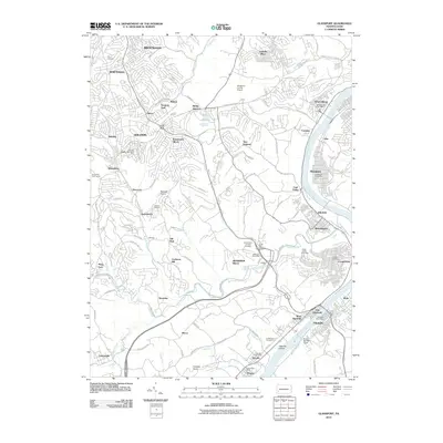 2010 Glassport2010 Print · USGSCovers Washington County, including Pittsburgh, Bethel Park, and other nearby areas
 - 2010 Map of West Middletown, 2010 Print
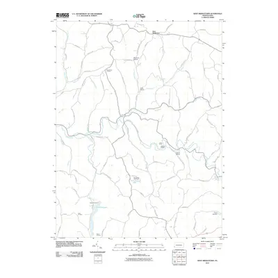 2010 West Middletown2010 Print · USGSCovers Washington County, including Independence Township, West Middletown, and other nearby areas
 - 2010 Map of Washington East, 2010 Print
 2010 Washington East2010 Print · USGSCovers Washington County, including Washington, South Strabane Township, and other nearby areas
 - 2010 Map of Hackett, 2010 Print
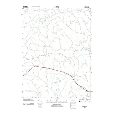 2010 Hackett2010 Print · USGSCovers Washington County, including Bentleyville, North Strabane Township, and other nearby areas
 - 2010 Map of Clinton, 2010 Print
 2010 Clinton2010 Print · USGSCovers Washington County, including Independence Township, Robinson Township, and other nearby areas
 - 2010 Map of Midway, 2010 Print
 2010 Midway2010 Print · USGSCovers Washington County, including Cecil Township, Robinson Township, and other nearby areas
 - 2010 Map of Claysville, 2010 Print
 2010 Claysville2010 Print · USGSCovers Washington County, including East Finley Township, West Finley Township, and other nearby areas
 - 2010 Map of Bridgeville, 2010 Print
 2010 Bridgeville2010 Print · USGSCovers Washington County, including Pittsburgh, Bethel Park, and other nearby areas
 - 2010 Map of Avella, 2010 Print
 2010 Avella2010 Print · USGSCovers Washington County, including Cross Creek Township, Independence Township, and other nearby areas
 - 2010 Map of Prosperity, 2010 Print
 2010 Prosperity2010 Print · USGSCovers Washington County, including East Finley Township, Green Hills, and other nearby areas
 - 2010 Map of Wind Ridge, 2010 Print
 2010 Wind Ridge2010 Print · USGSCovers Washington County, including East Finley Township, West Finley Township, and other nearby areas
 - 2010 Map of Rogersville, 2010 Print
 2010 Rogersville2010 Print · USGSCovers Washington County, including East Finley Township, Richhill Township, and other nearby areas
 - 2010 Map of Waynesburg, 2010 Print
 2010 Waynesburg2010 Print · USGSCovers Washington County, including Waynesburg, Morgan Township, and other nearby areas
 - 2010 Map of Oakdale, 2010 Print
 2010 Oakdale2010 Print · USGSCovers Washington County, including Moon Township, Robinson Township, and other nearby areas
 - 2010 Map of Carmichaels, 2010 Print
 2010 Carmichaels2010 Print · USGSCovers Washington County, including Luzerne Township, Carmichaels, and other nearby areas
 - 2010 Map of Mather, 2010 Print
 2010 Mather2010 Print · USGSCovers Washington County, including Luzerne Township, Jefferson, and other nearby areas
 - 2010 Map of Steubenville East, 2010 Print
 2010 Steubenville East2010 Print · USGSCovers Washington County, including Weirton, Steubenville, and other nearby areas
Showing maps 1-25 of 146
Top cities of Washington County
- Washington historical maps
- Cecil Township historical maps
- Canonsburg historical maps
- South Strabane Township historical maps
- California historical maps
- Charleroi historical maps
See more
Frequently asked questions
- What are the different types of historical maps available for Washington County?
- What is the oldest map of Washington County?
- Where can I purchase historical maps of Washington County for my home or office?
- Where can I download high-res historical maps of Washington County?
- Are there historical topographic maps available for Washington County?
- Is there historical aerial imagery available for Washington County?
- Where are historical maps of Washington County sourced from?