2020s Maps of Oconee County, South Carolina
Explore 40 historic maps of Oconee County from the 2020s. These maps offer a rare glimpse into what life looked like during the 2020s — showing old roads, neighborhoods, homes, and landmarks that have changed or disappeared over time.
Whether you're researching your family's past, planning a metal detecting trip, or studying how Oconee County's landscape evolved across the 2020s, these high-resolution maps are a powerful tool for exploring the history of this region.
- Focus on a specific era: All maps on this page are from the 2020s, giving you a focused view of this time period.
- See what’s changed: Compare century-old streets, trails, and buildings to today's modern landscape using overlays and satellite layers.
- Research with precision: Use these maps for genealogy, historical research, land use analysis, or educational projects.
- View, download, or print: Maps are fully viewable online in high resolution, and can be downloaded or printed for your own records.
Start exploring Oconee County's history through authentic maps from the 2020s. This is your window into the past.
Oconee County, SC maps
(40)- 2020 Map of Holly Springs, 2020 Print
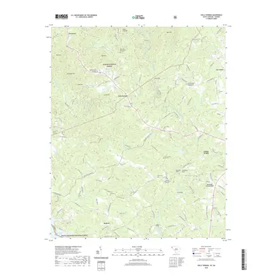 2020 Holly Springs2020 Print · USGSOconee County at the turn of the 2020s shows a landscape defined by the winding Chauga River and established rural communities. Local historians can trace family roots at New Promised Land Cem, Poole Cem, and the Crossroad Baptist Church Number 2.
 - 2020 Map of Whetstone, 2020 Print
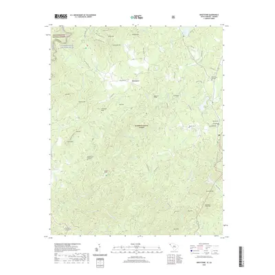 2020 Whetstone2020 Print · USGSOconee County's high country is captured here during the 2020s, showing a landscape defined by the Chattooga River and deep-rooted mountain communities. Researchers can locate remote burial sites like Belmont Cem or trace the historic rail engineering at Mountain Tunnel and Stumphouse Mtn.
 - 2020 Map of Tamassee, 2020 Print
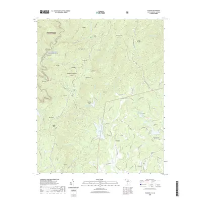 2020 Tamassee2020 Print · USGSThe foothills of the Blue Ridge Mountains come alive in this contemporary study of Oconee County, where the river-cut boundary of Georgia and South Carolina meets the forest. Genealogists can trace family histories through numerous sites like Cherry Hill Cem, Alexander Cem, and the Whitmire Methodist Church Graveyard.
 - 2020 Map of Westminster, 2020 Print
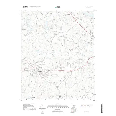 2020 Westminster2020 Print · USGSWestminster and Walhalla are shown here in the contemporary era, illustrating the settled landscape of Oconee County. Researchers can locate numerous historical burial grounds like the Flat Rock Cem and family-named landmarks including Anna's Airport.
 - 2020 Map of Walhalla, 2020 Print
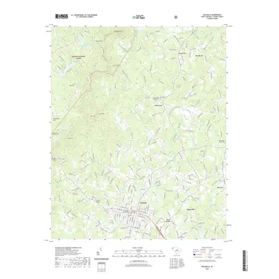 2020 Walhalla2020 Print · USGSWalhalla and the surrounding Oconee County foothills are shown in this recent survey, capturing the intersection of mountain terrain and Piedmont settlement. Researchers can trace family sites at Westview Cem or explore historical landmarks like the Stumphouse Mountain Tunnel and Burns Mill.
 - 2020 Map of Oakway, 2020 Print
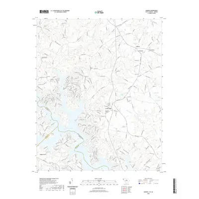 2020 Oakway2020 Print · USGSThe borderlands of South Carolina and Georgia are captured here just as the modern shoreline of Hartwell Lake meets established rural communities. Researchers can trace family history through numerous church sites and burial grounds like Marett Cem and the Bethel Baptist Church Graveyard.
 - 2020 Map of Old Pickens, 2020 Print
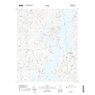 2020 Old Pickens2020 Print · USGSIn the Oconee County backcountry during the early 2020s, the landscape is defined by the winding waters of Lake Keowee. Genealogists can trace ancestral sites across several historic burial grounds, including Old Pickens Cemetery, Ross Cemetery, and the Old New Hope Graveyard.
 - 2020 Map of Salem, 2020 Print
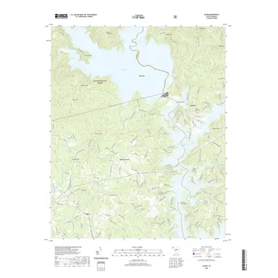 2020 Salem2020 Print · USGSOconee and Pickens counties are shown here in the contemporary era, where the Blue Ridge foothills meet the waters of the Keowee River basin. Researchers can trace local heritage at McKinney Chapel Cem or locate the lakeside settlements of Jocassee and Eastatoe.
 - 2020 Map of Six Mile, 2020 Print
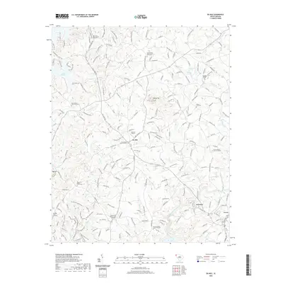 2020 Six Mile2020 Print · USGSPickens County comes into focus in the early twenty-first century, showing the established communities and religious landmarks of the Piedmont. Genealogists and historians can locate family sites like the Boroughs Gillespie Cem and long-standing congregations at Kings Grove Baptist Church or Welcome Baptist Church.
 - 2020 Map of Fair Play, 2020 Print
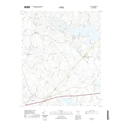 2020 Fair Play2020 Print · USGSAnderson and Oconee Counties at the turn of the decade show a landscape of rising waters and rural settlements. Genealogists can trace family connections through the Townville Baptist Church Graveyard, Hays Cem, and the old community at Earles Grove.
 - 2020 Map of Clemson, 2020 Print
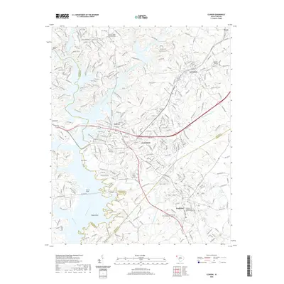 2020 Clemson2020 Print · USGSThe Upstate collegiate and river corridor at the start of the 2020s shows the dense development of Clemson and Central. Researchers can locate historic burial sites like the Old Stone Church Graveyard and trace the paths of the Green Triangle Trail or the Norfolk Southern rail line.
 - 2020 Map of Seneca, 2020 Print
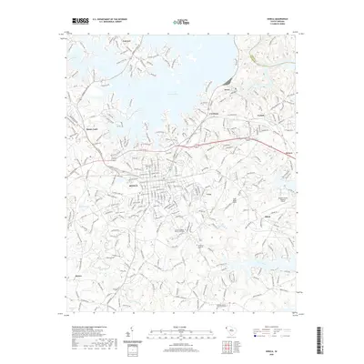 2020 Seneca2020 Print · USGSSeneca and its surrounding Piedmont communities are captured in the late twenty-teens as the landscape balances growing aviation and residential needs. Genealogists can locate family sites like Hopewell Baptist Church Graveyard and Hepsibah Baptist Church Graveyard near the shores of Lake Keowee.
 - 2020 Map of Reed Creek, 2020 Print
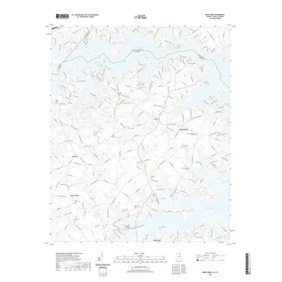 2020 Reed Creek2020 Print · USGSThe Georgia and South Carolina borderlands appear in their modern residential era, centered on the sprawling reaches of Hartwell Lake. Genealogists and local historians can locate numerous family burial sites and rural landmarks, including Cole Civil War Cem and the Sharon Presbyterian Church Cem.
 - 2020 Map of Lavonia, 2020 Print
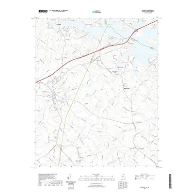 2020 Lavonia2020 Print · USGSThe Georgia-South Carolina borderlands come alive in this recent survey of the settlements surrounding Lavonia and the shores of Hartwell Lake. Genealogists and local historians can locate numerous family burial sites like Poole Cem and historic landmarks such as Parkertown Mill.
 - 2020 Map of Avalon, 2020 Print
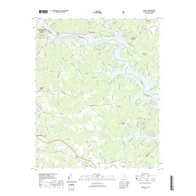 2020 Avalon2020 Print · USGSThe Georgia-South Carolina borderlands near the Tugaloo River are shown here in recent detail, where the Piedmont hills meet the edge of the Blue Ridge. Genealogists can trace numerous local burial sites including Rock Creek Cem, Fair Play Cem, and Confidence Cem.
 - 2020 Map of Tugaloo Lake, 2020 Print
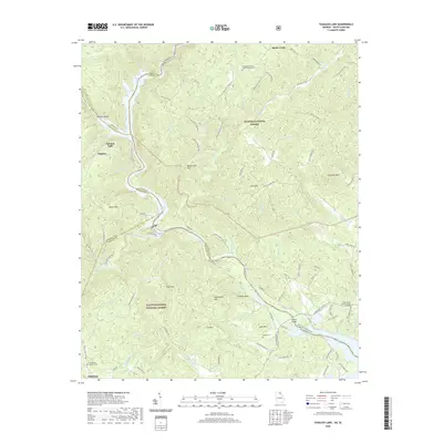 2020 Tugaloo Lake2020 Print · USGSThe Tugaloo River valley along the Georgia-South Carolina border is shown here in the contemporary era, illustrating a landscape defined by state forests and reservoirs. Researchers can locate family landmarks like Prather Cem, the Old Toccoa Baptist Cem, and the historic Tallulah Falls area.
 - 2020 Map of Rainy Mountain, 2020 Print
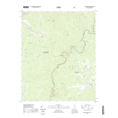 2020 Rainy Mountain2020 Print · USGSThe Georgia-South Carolina borderlands come to life in this survey of the river-cut forests during the early twenty-first century. Genealogists and hikers can trace paths to the Long Creek Baptist Church & Graveyard, Woodall Shoals, and Godfrey Cem.
 - 2020 Map of Satolah, 2020 Print
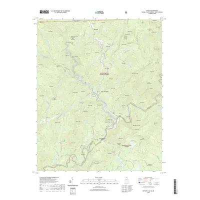 2020 Satolah2020 Print · USGSThe tri-state border region of Georgia, South Carolina, and North Carolina is documented here during the early twenty-first century. Genealogists can locate family burial grounds like Billingsley and Snyder Cem near the Chattooga River and Satolah.
 - 2020 Map of La France, 2020 Print
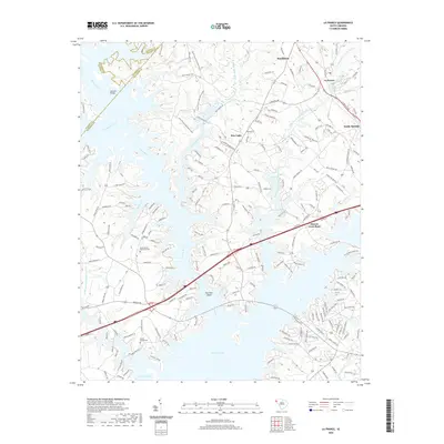 2020 La France2020 Print · USGSThis South Carolina Piedmont landscape near the Anderson and Pickens county lines shows the expansive reach of Hartwell Lake. Researchers can trace the modern shoreline relative to landmarks like the Cedar Grove Methodist Cem and the settlement of La France.
 - 2022 Map of Cashiers, 2022 Print
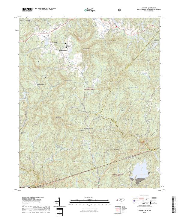 2022 Cashiers2022 Print · USGSHigh-altitude settlements in the Blue Ridge Mountains are documented here in the early twenty-first century. Genealogists and local historians can locate Upper Zachary Cem, Heady Mtn Church, and the tri-state boundary at Ellicott Rock.
 - 2022 Map of Reid, 2022 Print
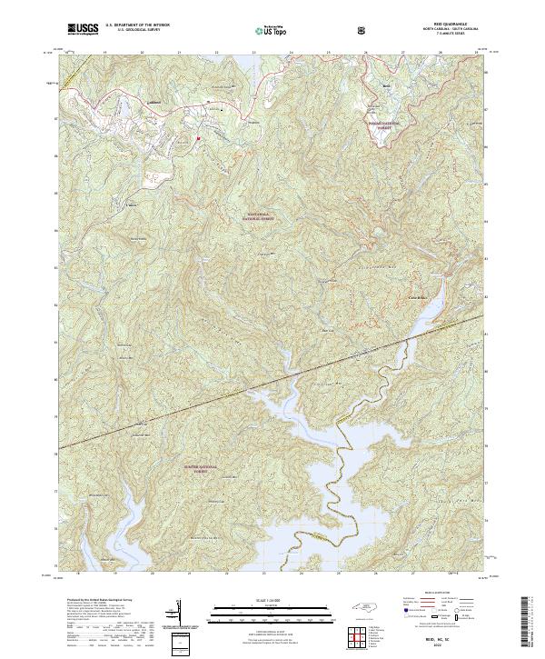 2022 Reid2022 Print · USGSThe high escarpment of the Blue Ridge comes alive in the 2020s, showing where the Carolinas meet at the headwaters of Lake Jocassee. Genealogists and hikers can trace remote landmarks like Reid Cem, the settlement of Cane Brake, and the winding Foothills Trl.
 - 2024 Map of Rainy Mountain, 2024 Print
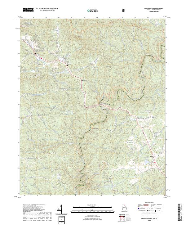 2024 Rainy Mountain2024 Print · USGSThe Georgia and South Carolina borderlands come alive on the banks of the Chattooga River in the modern era. Genealogists and hikers can trace old family burial sites like Godfrey Cem or follow the historic Bartram Trl past the waters of Woodall Shoals.
 - 2024 Map of Tamassee, 2024 Print
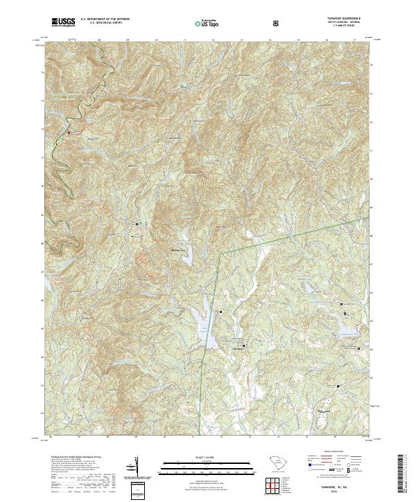 2024 Tamassee2024 Print · USGSThe mountain settlements of Oconee County are captured here in the contemporary era, showing the enduring geography of the Blue Ridge. Researchers can find numerous family burial grounds and landmarks like Cheohee Baptist Church Graveyard, Green Cem, and Moody Cove.
 - 2024 Map of Westminster, 2024 Print
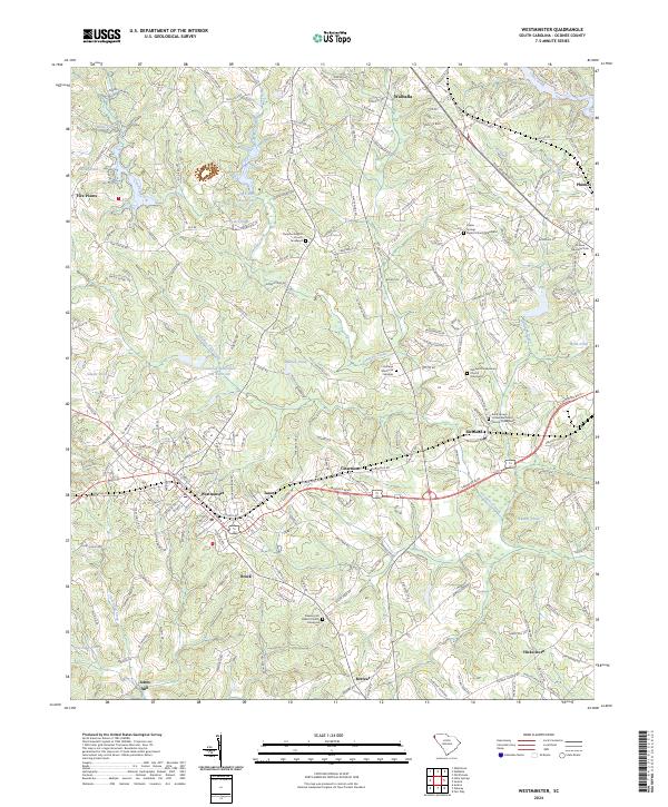 2024 Westminster2024 Print · USGSWestminster and the surrounding Oconee County countryside are shown here in modern detail, preserving the locations of many century-old community anchors. Researchers can pinpoint numerous family-history sites, from Johns Mill to the Rock Springs United Methodist Church Graveyard.
 - 2024 Map of Whetstone, 2024 Print
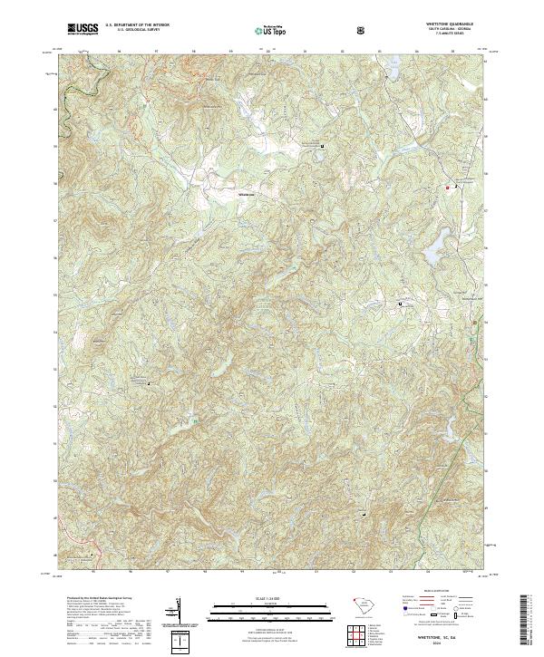 2024 Whetstone2024 Print · USGSNorthwestern Oconee County is mapped here in the modern era, showing the intersection of heavy forest and mountain church communities. Genealogists can locate several family-significant sites like the Brasstown Baptist Church Graveyard and Belmont Cem tucked among the slopes of Chattooga Ridge.
Showing maps 1-25 of 40
Top cities of Oconee County
- Seneca historical maps
- Walhalla historical maps
- Westminster historical maps
- West Union historical maps
- Salem historical maps
Frequently asked questions
- What are the different types of historical maps available for Oconee County?
- What is the oldest map of Oconee County?
- Where can I purchase historical maps of Oconee County for my home or office?
- Where can I download high-res historical maps of Oconee County?
- Are there historical topographic maps available for Oconee County?
- Is there historical aerial imagery available for Oconee County?
- Where are historical maps of Oconee County sourced from?