2010s Maps of Buffalo County, South Dakota
Explore 48 historic maps of Buffalo County from the 2010s. These maps offer a rare glimpse into what life looked like during the 2010s — showing old roads, neighborhoods, homes, and landmarks that have changed or disappeared over time.
Whether you're researching your family's past, planning a metal detecting trip, or studying how Buffalo County's landscape evolved across the 2010s, these high-resolution maps are a powerful tool for exploring the history of this region.
- Focus on a specific era: All maps on this page are from the 2010s, giving you a focused view of this time period.
- See what’s changed: Compare century-old streets, trails, and buildings to today's modern landscape using overlays and satellite layers.
- Research with precision: Use these maps for genealogy, historical research, land use analysis, or educational projects.
- View, download, or print: Maps are fully viewable online in high resolution, and can be downloaded or printed for your own records.
Start exploring Buffalo County's history through authentic maps from the 2010s. This is your window into the past.
Buffalo County, SD maps
(48)- 2012 Map of Mittelstedt Slough, 2012 Print
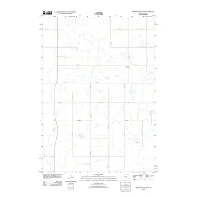 2012 Mittelstedt Slough2012 Print · USGSBuffalo County prairie land is mapped here in the early twenty-first century, revealing a landscape of agricultural section lines and glacial basins. Genealogists and local historians can locate Ebenezer Baptist Cem and trace the drainage of Mittelstedt Slough and Crow Cr.
 - 2012 Map of Gannvalley, 2012 Print
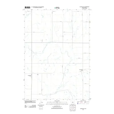 2012 Gannvalley2012 Print · USGSBuffalo County is captured here in the early twenty-first century, showcasing a landscape of high plains agriculture and small rural settlements. Researchers can trace the layout of Gannvalley, locate the Spring Hill Cem, and see the footprint of the Spring Valley Colony.
 - 2012 Map of Lyonville, 2012 Print
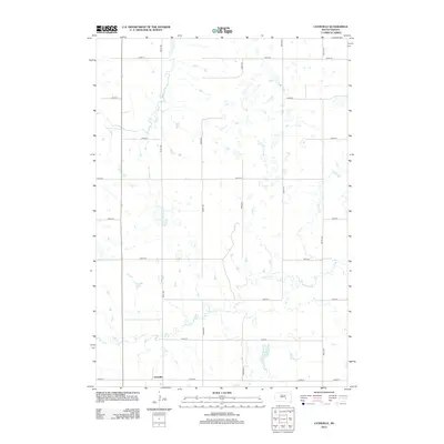 2012 Lyonville2012 Print · USGSBuffalo County is shown here in the early twenty-first century, capturing a sparsely settled landscape of prairie agriculture and prairie wetlands. Genealogists and local historians can trace the grid around Lyonville and locate landmarks like Jones Lake and Smith Cr.
 - 2012 Map of Big Bend Dam, 2012 Print
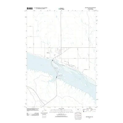 2012 Big Bend Dam2012 Print · USGSThe Missouri River is transformed by industrial infrastructure in this early twenty-first-century survey of the Buffalo County region. Researchers can trace the massive Big Bend Dam and find local landmarks like Saint Joseph Cem and Big Bend Landing Strip.
 - 2012 Map of Duncan Church, 2012 Print
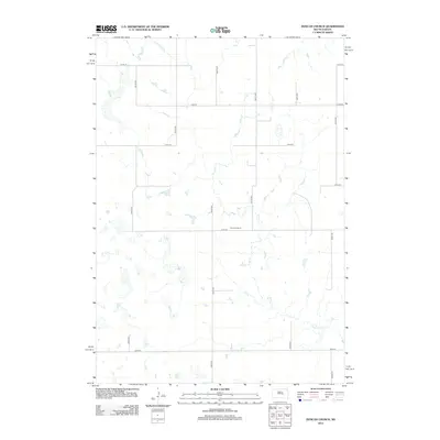 2012 Duncan Church2012 Print · USGSBuffalo County's rural landscape is captured here in the early twenty-first century, showing the grid of roads and natural drainages. Trace local genealogy and land use near Duncan Church and follow the winding path of Crow Cr across the prairie.
 - 2012 Map of Lower Brule NE, 2012 Print
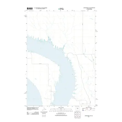 2012 Lower Brule NE2012 Print · USGSThe Missouri River valley in the Big Bend District is captured here during the early twenty-first century, showing the expansive waters of Lake Sharpe. Researchers can trace the rural road network including BIA Route 3 and drainage features like Soldier Cr.
 - 2012 Map of Big Bend Dam SE, 2012 Print
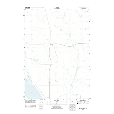 2012 Big Bend Dam SE2012 Print · USGSBuffalo County and the Crow Creek District are captured in the early 2010s, showing a landscape defined by the Missouri River reservoir. Genealogists and researchers can locate the settlement of Lees Corner and trace the paths of Wolf Cr and Campbell Cr.
 - 2012 Map of North of Shelby, 2012 Print
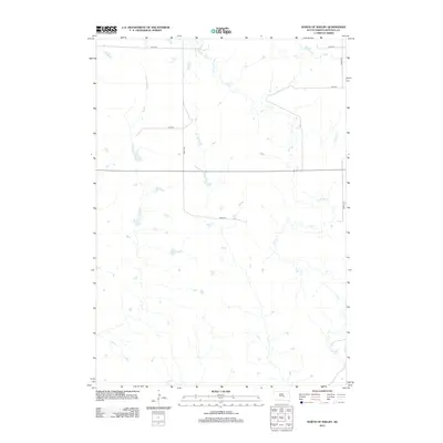 2012 North of Shelby2012 Print · USGSBuffalo County, South Dakota, is shown in the early 21st century as a quiet agricultural landscape defined by its prairie drainage. Genealogists and local historians can trace the section lines and watercourses of Elm Cr and Crow Cr along rural routes like 349th Ave.
 - 2012 Map of Lower Brule, 2012 Print
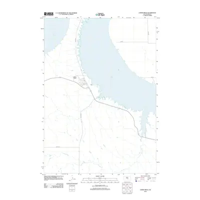 2012 Lower Brule2012 Print · USGSThe Missouri River landscape near the Big Bend District is captured here in the early twenty-first century. Researchers can trace the layout of the Council House settlement and follow the paths of Bia Route 10 and Counselor Cr.
 - 2012 Map of Dry Run, 2012 Print
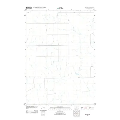 2012 Dry Run2012 Print · USGSBuffalo County prairie lands are captured here in the early twenty-first century, showing a remote agricultural landscape before modern development. Genealogists and local historians can trace the precise drainage of Dry Run, Crow Cr, and Elm Cr against the established section roads.
 - 2012 Map of Stephan, 2012 Print
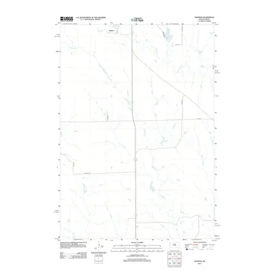 2012 Stephan2012 Print · USGSThe northern reaches of the Fort Thompson District are captured here during the early twenty-first century. Genealogists and local historians can trace the rural landscape around Stephan, following the courses of Campbell Cr and Lake Boehm through the prairie.
 - 2012 Map of Big Bend Dam NE, 2012 Print
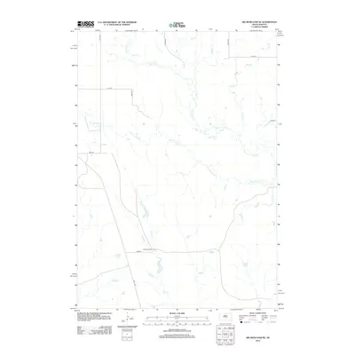 2012 Big Bend Dam NE2012 Print · USGSBuffalo County ranching country is shown here in the early twenty-first century, featuring the structured grid of rural section roads. Researchers can locate the Knippling Ranch and trace the paths of Wolf Creek and W Fork Elm Creek.
 - 2012 Map of Prairie Center School, 2012 Print
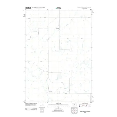 2012 Prairie Center School2012 Print · USGSBuffalo County is shown in the early twenty-first century as a landscape of grid-patterned section roads and seasonal water basins. Genealogists and local historians can locate the site of the Prairie Center School (historical) near Elm Cr and trace the contours of the Winnebago Valley.
 - 2012 Map of Shelby, 2012 Print
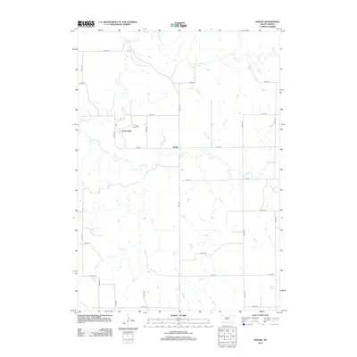 2012 Shelby2012 Print · USGSBrule County's rural prairie is captured here in the early 21st century, showing a landscape defined by the intersection of grid roads and wandering waterways. Genealogists can locate Crow Creek Cem and trace the paths of Smith Cr through the small settlement of Shelby.
 - 2012 Map of Pukwana NE, 2012 Print
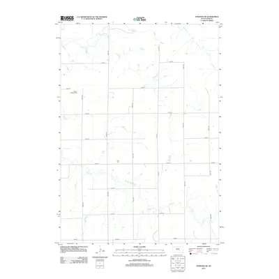 2012 Pukwana NE2012 Print · USGSBuffalo County, South Dakota, is captured here in the early twenty-first century, showing a remote agricultural landscape shaped by prairie creeks. Researchers can locate the Vega Cem and Mayer Landing Strip among the rural miles of Crow Cr and Smith Cr.
 - 2012 Map of Bedashosha Lake, 2012 Print
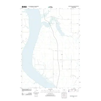 2012 Bedashosha Lake2012 Print · USGSBrule County in the early 2010s reveals a quiet landscape of prairie roads and Missouri River reservoir views. Genealogists and researchers can trace the roads around Grosse or locate landmarks like Bedashosha Lake and Lake Francis Case.
 - 2015 Map of Lyonville, 2015 Print
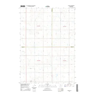 2015 Lyonville2015 Print · USGSThe rural crossroads at Lyonville and the meeting of three counties define this South Dakota landscape in the mid-2010s. Genealogists and local historians can trace the paths of Smith Cr and Crow Cr through the grid of Prairie Rd.
 - 2015 Map of Bedashosha Lake, 2015 Print
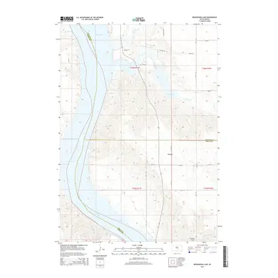 2015 Bedashosha Lake2015 Print · USGSThe Missouri River breaks of Buffalo and Brule Counties are captured here in the mid-2010s, showing the intersection of river and prairie. Historians can trace rural landscape features like the settlement of Grosse, the banks of Lake Francis Case, and Tischudy Gulch.
 - 2015 Map of Shelby, 2015 Print
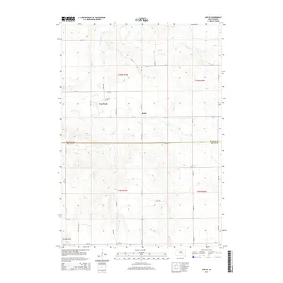 2015 Shelby2015 Print · USGSThe Buffalo and Brule County borderlands come into focus in this contemporary survey of West Point Township. Genealogists can locate the Crow Creek Cemetery and trace the paths of Crow Creek and Smith Creek through the prairie.
 - 2015 Map of Pukwana NE, 2015 Print
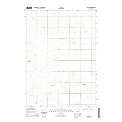 2015 Pukwana NE2015 Print · USGSBuffalo and Brule counties meet in this 2015 survey of the South Dakota prairie, showing the rural section-line road network. Genealogists can locate Vega Cem and trace the drainage of Crow Cr and Smith Cr through the agricultural townships.
 - 2015 Map of Duncan Church, 2015 Print
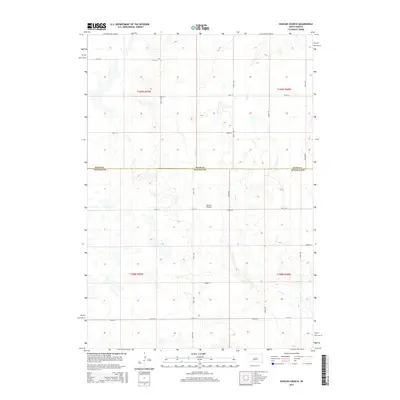 2015 Duncan Church2015 Print · USGSBuffalo County is shown in the mid-2010s as a structured prairie landscape defined by its rural road network and watercourses. Researchers can trace local landmarks such as Duncan Church or follow the path of Crow Cr across the Hand Co Buffalo Co line.
 - 2015 Map of Prairie Center School, 2015 Print
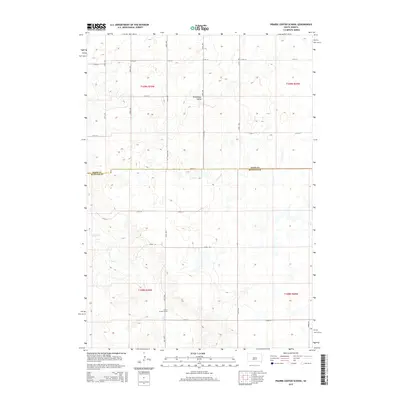 2015 Prairie Center School2015 Print · USGSBuffalo and Hand counties are captured here in the mid-2010s, showing the enduring grid of the South Dakota prairie. Researchers can trace local landmarks like the Prairie Center School, the drainage of Elm Cr, and the rural area of Winnebago Valley.
 - 2015 Map of Dry Run, 2015 Print
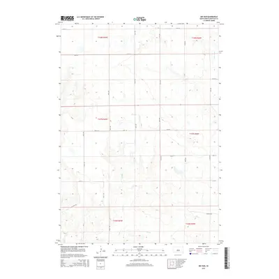 2015 Dry Run2015 Print · USGSBuffalo County is captured here in the mid-2010s, showing a landscape defined by the intersection of prairie drainages and the township grid. Researchers can trace the winding paths of Dry Run, the local terrain of Coyote Holw, and the layout of Elm Creek Dr.
 - 2015 Map of North of Shelby, 2015 Print
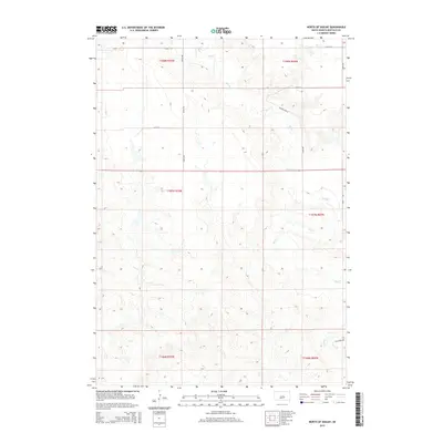 2015 North of Shelby2015 Print · USGSBuffalo County and the Crow Creek District are captured in the mid-2010s, showing the intersection of local township life and the prairie landscape. Researchers can trace the meandering course of Elm Cr and map out property lines along 349th Ave and 225th St.
 - 2015 Map of Stephan, 2015 Print
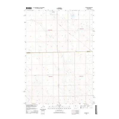 2015 Stephan2015 Print · USGSStephan and the surrounding prairie of Buffalo and Hyde Counties are captured here in the mid-2010s. Researchers can trace land divisions and water sources like Lake Ambrose, Lake Boehm, and the winding course of Campbell Cr.
Showing maps 1-25 of 48
Frequently asked questions
- What are the different types of historical maps available for Buffalo County?
- What is the oldest map of Buffalo County?
- Where can I purchase historical maps of Buffalo County for my home or office?
- Where can I download high-res historical maps of Buffalo County?
- Are there historical topographic maps available for Buffalo County?
- Is there historical aerial imagery available for Buffalo County?
- Where are historical maps of Buffalo County sourced from?