Old Maps of Norway Township, South Dakota for Genealogy
Trace your family roots with 27 historic maps of Norway Township. These high-res maps reveal old neighborhoods, homesites, landmarks, and streets — helping you uncover where your ancestors lived and how the area evolved over time.
- Explore historic neighborhoods: Identify where your relatives may have lived in the 1800s or 1900s.
- Compare maps over time: Trace the changes in streets, buildings, and landmarks for multi-generational research.
- Perfect for genealogy & ancestry research: Used by family historians and researchers to map out lineage and migration.
These maps are an incredible resource for exploring your personal connection to Norway Township's past.
Norway Township, SD maps
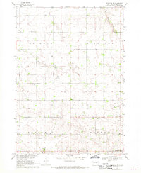
(27)- 1897 Map of Canton, 1954 Print
 1897 Canton1954 Print · USGSSoutheastern South Dakota and the Iowa borderlands were undergoing a railway-driven expansion during the 1890s. Genealogists and historians can trace early settlements like Beloit, Centerville, and Lennox as they grew along the Big Sioux River.
 - 1900 Map of Canton
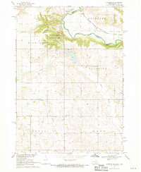
 1900 Canton1900 Print · USGSSoutheastern South Dakota and the Iowa borderlands are captured here at a peak of late-nineteenth-century rail expansion. Genealogists can trace the early foundations of towns like Canton, Centerville, and Beresford along the Big Sioux River.2 unique versions available
 - 1955 Map of Sioux Falls, 1967 Print
 1955 Sioux Falls1967 Print · USGSThe eastern South Dakota and western Minnesota borderlands come alive in the mid-fifties, showing the vital rail-to-river connections of the era. Genealogists can trace family footprints across townships like Madison and Pipestone, while following the paths of the Big Sioux River and the Chicago and North Western line.3 unique versions available
 - 1958 Map of Sioux Falls
 1958 Sioux Falls1958 Print · USGSThe tri-state borderlands of South Dakota, Minnesota, and Iowa are captured here during the mid-century peak of the regional rail network. Genealogists and historians can trace local landmarks like Augustana Academy, the St Marys Cem, and the path of the Illinois Central through Rock Rapids.
 - 1968 Map of Alcester NW, 1970 Print
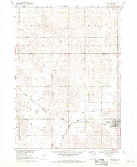
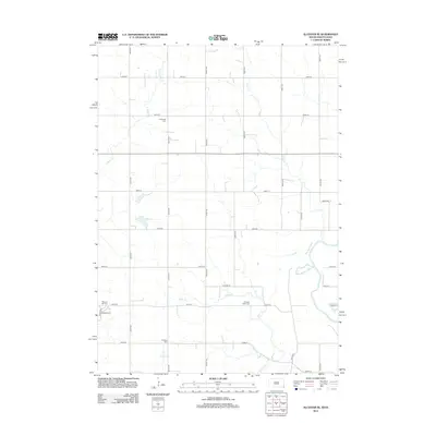
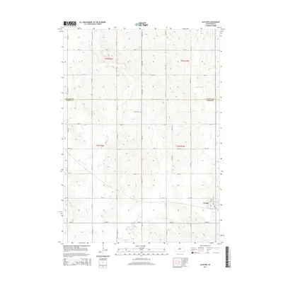
 1968 Alcester NW1970 Print · USGSLincoln County farmland in the late sixties is defined by its dense network of rural schools and country churches. Genealogists can trace family footprints near the Tuntland Cem, Norway Center, and several local landmarks like Sundy Sch.2 unique versions available
 - 1968 Map of Alcester NE, 1970 Print
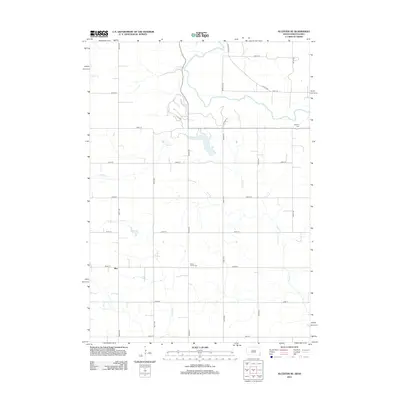
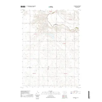
 1968 Alcester NE1970 Print · USGSThe Big Sioux River valley comes to life in the late sixties as it winds through Lincoln County. Genealogists can trace early rural life through family-named landmarks like Moe Sch, Bethany Cem, and the tracks of the Chicago Milwaukee St Paul and Pacific railroad.2 unique versions available
 - 1968 Map of Alcester, 1970 Print
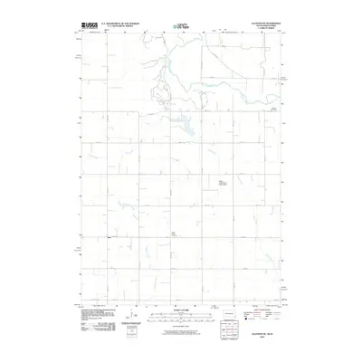
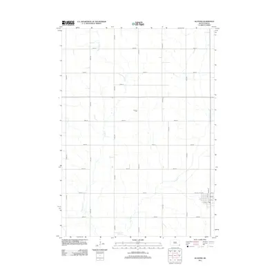
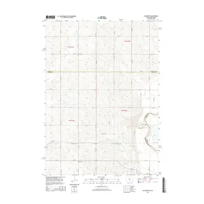
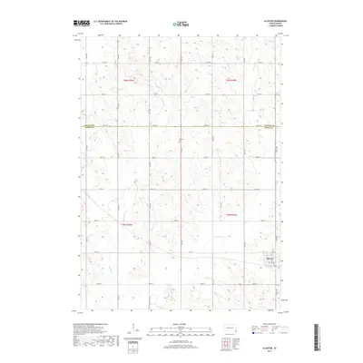
 1968 Alcester1970 Print · USGSThe South Dakota prairie near the Union and Lincoln County line is captured here in the late sixties. Genealogists and local historians can trace the rural school system at Elmwood Sch and Silver Lake Sch or locate the Gothland Cem.
 - 1968 Map of Alcester SE, 1970 Print
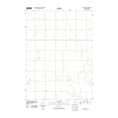
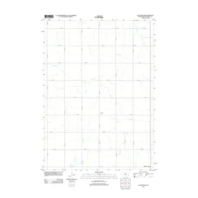
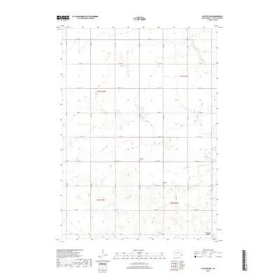
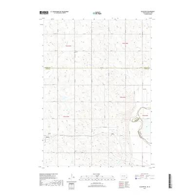
 1968 Alcester SE1970 Print · USGSThe borderlands of Union County, South Dakota, are captured in the late sixties as the Big Sioux River snakes past the township of Alcester. Researchers can trace rural landmarks from the Nathanael Cem to the Chicago and North Western rail line.
 - 1985 Map of Rock Rapids
 1985 Rock Rapids1985 Print · USGSThe borderlands of South Dakota and Iowa come into focus in the mid-1980s, centered on the fertile valleys of the Big Sioux River. Genealogists and researchers can trace rural homesteads near Rock Rapids, find Dordt College in Sioux Center, or locate old burial sites like Grace Hill Cem.2 unique versions available
 - 2010 Map of Alcester NE, 2010 Print
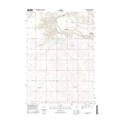
 2010 Alcester NE2010 Print · USGSCovers Norway Township, including Settlers Township, Eden Township, and other nearby areas
 - 2010 Map of Alcester SE, 2010 Print
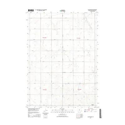
 2010 Alcester SE2010 Print · USGSCovers Norway Township, including Alcester, Eden Township, and other nearby areas
 - 2012 Map of Alcester NE, 2012 Print
 2012 Alcester NE2012 Print · USGSCovers Norway Township, including Settlers Township, Eden Township, and other nearby areas
 - 2012 Map of Alcester SE, 2012 Print
 2012 Alcester SE2012 Print · USGSCovers Norway Township, including Alcester, Eden Township, and other nearby areas
 - 2012 Map of Alcester, 2012 Print
 2012 Alcester2012 Print · USGSCovers Norway Township, including Alcester, Alcester Township, and other nearby areas
 - 2012 Map of Alcester NW, 2012 Print
 2012 Alcester NW2012 Print · USGSCovers Norway Township, including Highland Township, Lincoln Township, and other nearby areas
 - 2015 Map of Alcester NE, 2015 Print
 2015 Alcester NE2015 Print · USGSCovers Norway Township, including Settlers Township, Eden Township, and other nearby areas
 - 2015 Map of Alcester NW, 2015 Print
 2015 Alcester NW2015 Print · USGSCovers Norway Township, including Highland Township, Lincoln Township, and other nearby areas
 - 2015 Map of Alcester SE, 2015 Print
 2015 Alcester SE2015 Print · USGSCovers Norway Township, including Alcester, Eden Township, and other nearby areas
 - 2015 Map of Alcester, 2015 Print
 2015 Alcester2015 Print · USGSCovers Norway Township, including Alcester, Alcester Township, and other nearby areas
 - 2017 Map of Alcester NE, 2017 Print
 2017 Alcester NE2017 Print · USGSCovers Norway Township, including Settlers Township, Eden Township, and other nearby areas
 - 2017 Map of Alcester NW, 2017 Print
 2017 Alcester NW2017 Print · USGSCovers Norway Township, including Highland Township, Lincoln Township, and other nearby areas
 - 2017 Map of Alcester, 2017 Print
 2017 Alcester2017 Print · USGSCovers Norway Township, including Alcester, Alcester Township, and other nearby areas
 - 2017 Map of Alcester SE, 2017 Print
 2017 Alcester SE2017 Print · USGSCovers Norway Township, including Alcester, Eden Township, and other nearby areas
 - 2021 Map of Alcester, 2021 Print
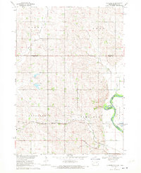
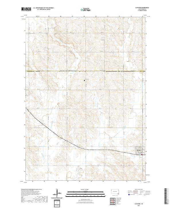 2021 Alcester2021 Print · USGSSoutheastern South Dakota’s agricultural heartland is documented here at the Lincoln and Union county line. Genealogists and local historians can trace the town layout of Alcester or locate rural landmarks like Gothland Cem and the forks of East Brule Creek.
 - 2021 Map of Alcester SE, 2021 Print
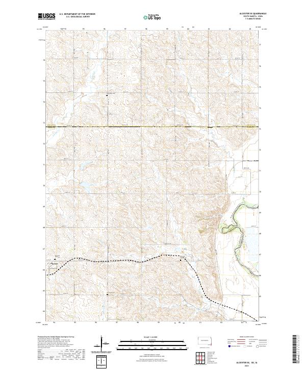 2021 Alcester SE2021 Print · USGSUnion County, South Dakota, is captured here in the early twenty-first century, showing the rural landscape around Alcester. Genealogists can locate family sites at Nathanael Cem and Pleasant Valley Cem, or trace the Jay-Heath Canoe & Kayak Trl along the Big Sioux River.
Showing maps 1-25 of 27
Top cities near Norway Township
- Canton historical maps
- Hawarden historical maps
- Beresford historical maps
- Inwood historical maps
- Worthing historical maps
- Alcester historical maps
See more
Top neighborhoods of Norway Township
Frequently asked questions
- What are the different types of historical maps available for Norway Township?
- What is the oldest map of Norway Township?
- Where can I purchase historical maps of Norway Township for my home or office?
- Where can I download high-res historical maps of Norway Township?
- Are there historical topographic maps available for Norway Township?
- Is there historical aerial imagery available for Norway Township?
- Where are historical maps of Norway Township sourced from?