2020s Maps of Mellette County, South Dakota
Explore 32 historic maps of Mellette County from the 2020s. These maps offer a rare glimpse into what life looked like during the 2020s — showing old roads, neighborhoods, homes, and landmarks that have changed or disappeared over time.
Whether you're researching your family's past, planning a metal detecting trip, or studying how Mellette County's landscape evolved across the 2020s, these high-resolution maps are a powerful tool for exploring the history of this region.
- Focus on a specific era: All maps on this page are from the 2020s, giving you a focused view of this time period.
- See what’s changed: Compare century-old streets, trails, and buildings to today's modern landscape using overlays and satellite layers.
- Research with precision: Use these maps for genealogy, historical research, land use analysis, or educational projects.
- View, download, or print: Maps are fully viewable online in high resolution, and can be downloaded or printed for your own records.
Start exploring Mellette County's history through authentic maps from the 2020s. This is your window into the past.
Mellette County, SD maps
(32)- 2021 Map of Stamford SE, 2021 Print
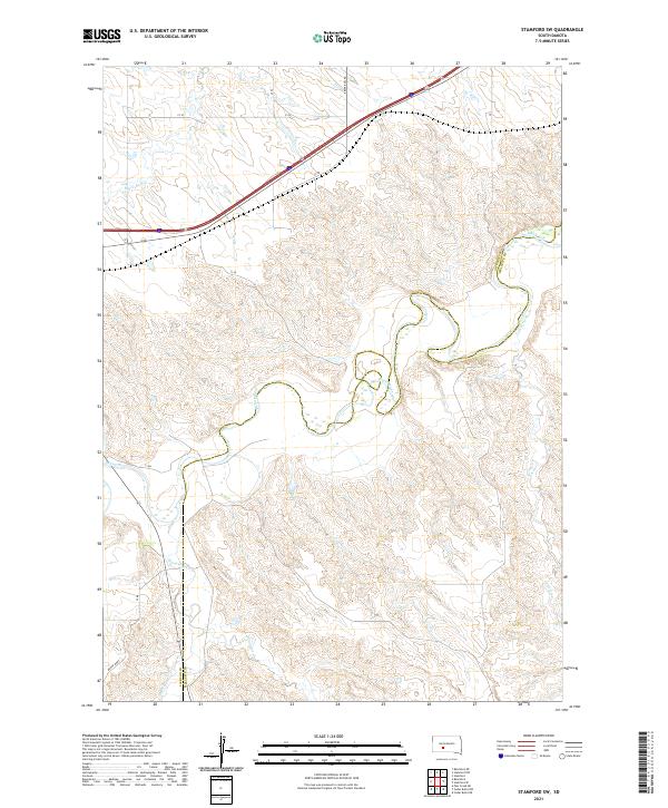
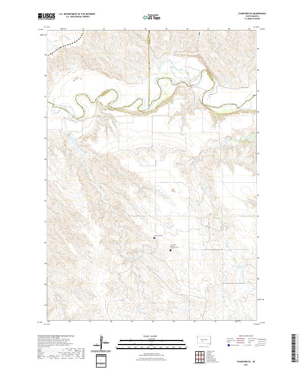 2021 Stamford SE2021 Print · USGSThe northern Mellette County plains are captured here in the early twenty-first century, centered on the winding bends of the White River. Family historians can locate remote landmarks like the Saint Paul German Lutheran Cem and White Horse Springs.
 - 2021 Map of Mission NE, 2021 Print
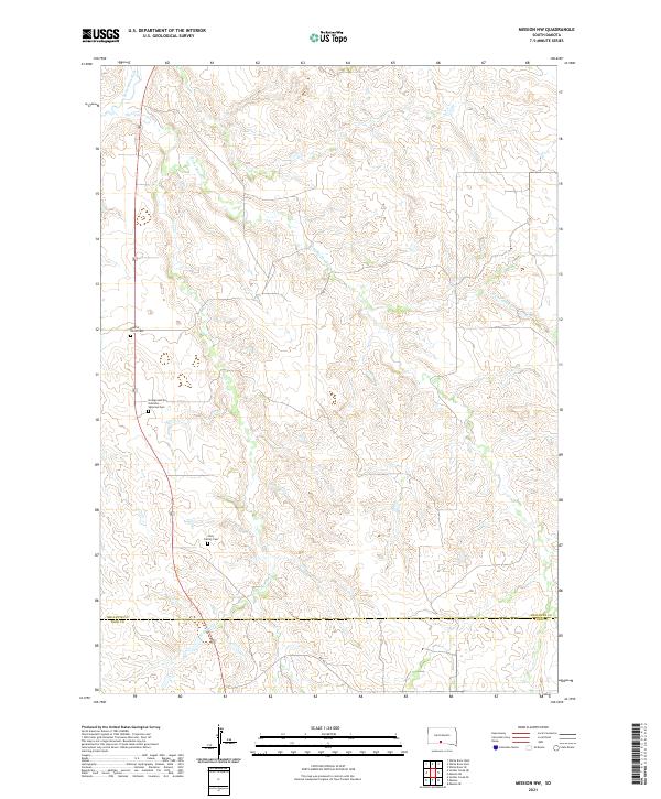
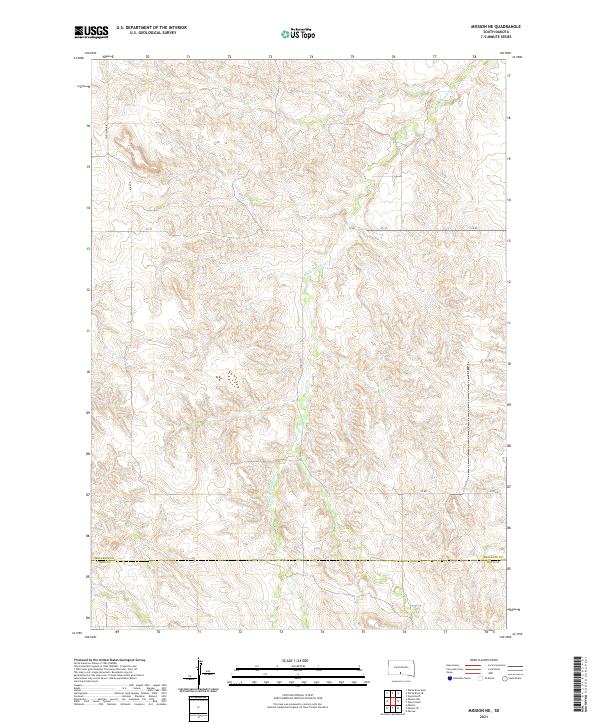 2021 Mission NE2021 Print · USGSWhite Thunder Creek meanders through the Mellette and Todd County line in this modern study of the South Dakota landscape. Researchers can trace the rural road network along Wht Wind Rd and the drainage of Horse Head Cr across the high plains.
 - 2021 Map of Head of Butch Creek, 2021 Print
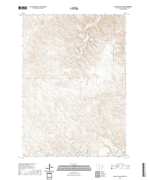 2021 Head of Butch Creek2021 Print · USGSMellette County is shown in the early 2020s as a landscape of prairie drainages and quiet section lines. Researchers can trace the winding headwaters of Butch Creek, Roundup Creek, and Cottonwood Creek across the township grids.
 - 2021 Map of Badnation, 2021 Print
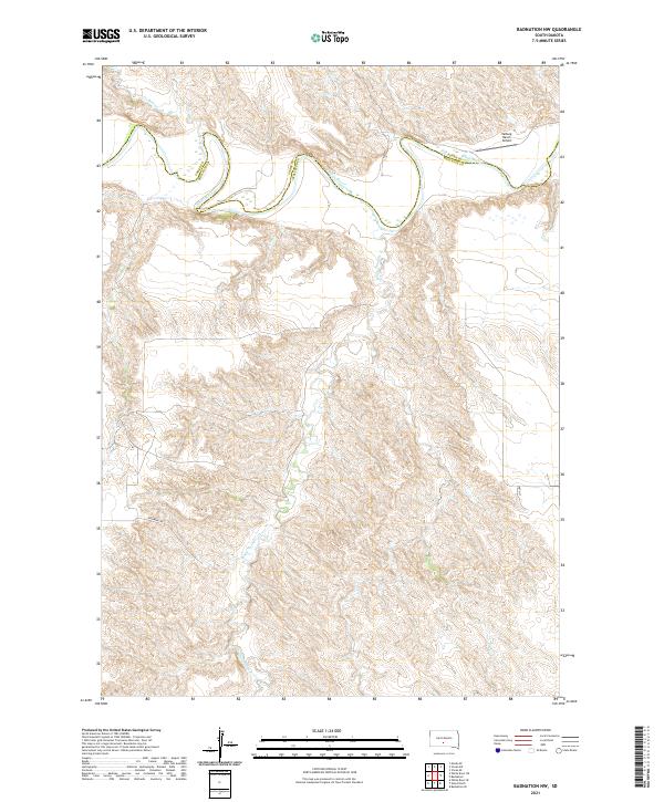
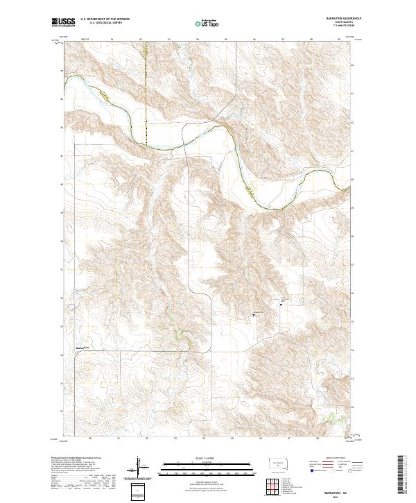 2021 Badnation2021 Print · USGSThe river valleys of south-central South Dakota are documented in this recent survey during a period of quiet rural endurance. Researchers can trace the junction of three counties along the White River and locate local landmarks like Badnation and Rosebud Cem.
 - 2021 Map of Badnation NW, 2021 Print
 2021 Badnation NW2021 Print · USGSThe Mellette County ranchlands along the White River are captured here in the early twenty-first century. Researchers can trace the drainage of White Thunder Cr and locate remote landmarks like the Valburg Ranch Airport.
 - 2021 Map of Corn Creek, 2021 Print
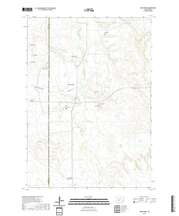 2021 Corn Creek2021 Print · USGSMellette and Jackson counties are documented here in the modern era, showing a landscape defined by rolling buttes and traditional creek crossings. Researchers can locate specific burial sites and family landmarks like Stands for Them Cem, Eagle Butte, and Saint Thomas Cem.
 - 2021 Map of Parmelee NE, 2021 Print
 2021 Parmelee NE2021 Print · USGSThe rural borderlands of Mellette and Todd counties are captured in this recent survey of the South Dakota plains. Researchers can trace land tracts near the Saint John Lutheran Cem or follow the paths of Gray Eagletail Creek and Swimmer Creek.
 - 2021 Map of Mosher, 2021 Print
 2021 Mosher2021 Print · USGSMellette County ranching country is captured here in the early twenty-first century, showing the enduring structure of the Great Plains landscape. Researchers can trace the drainages of Oak Cr and White Horse Cr as they wind through the vicinity of Mosher.
 - 2021 Map of Wood North, 2021 Print
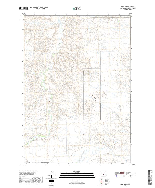 2021 Wood North2021 Print · USGSThe community of Wood anchors this early twenty-first-century view of the Mellette County plains. Trace the local drainage systems of White Thunder Cr and Butte Cr alongside a structured grid of rural routes like 287th Ave.
 - 2021 Map of Badnation SE, 2021 Print
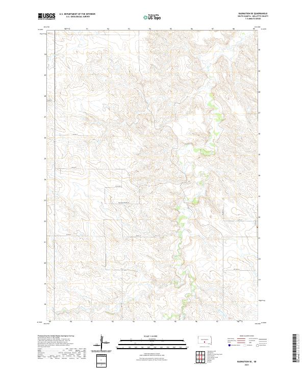 2021 Badnation SE2021 Print · USGSMellette County is shown in this contemporary survey of the South Dakota prairie, where a strictly managed grid of section roads meets a network of wandering creeks. Map collectors and local researchers can trace the paths of Oak Cr, Butte Cr, and the uniquely named Bad Whichwind Rd.
 - 2021 Map of Nielson Ranch, 2021 Print
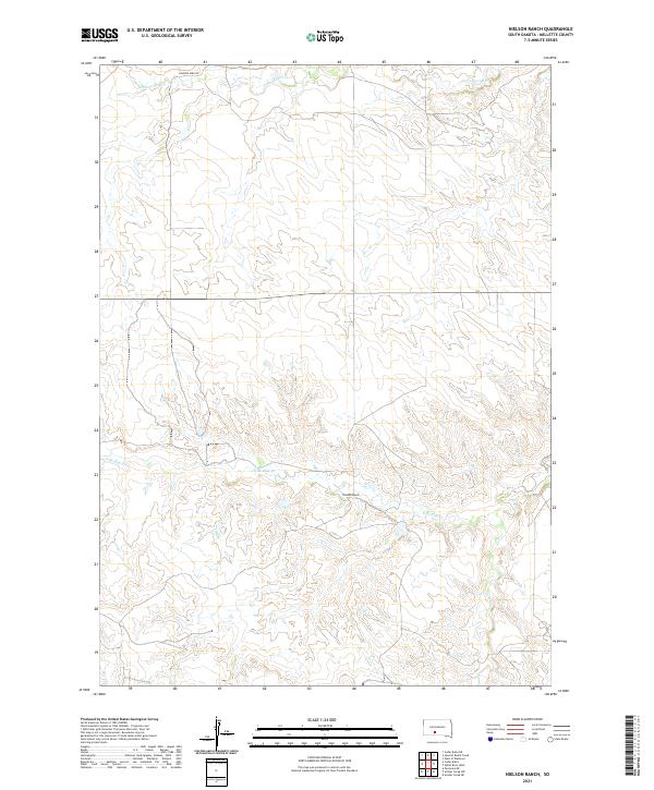 2021 Nielson Ranch2021 Print · USGSThe South Dakota prairie in Mellette County remains a landscape of sprawling ranch land and winding creek beds in this recent survey. Researchers can trace land boundaries near Nielson Ranch and follow the paths of Running Bird Rd and N Br Pine Cr.
 - 2021 Map of Soldier Creek NE, 2021 Print
 2021 Soldier Creek NE2021 Print · USGSMellette and Todd Counties appear here in the early 2020s, showcasing the winding path of the Little White River. Genealogists and local historians can locate remote burial sites such as Ring Thunder Sacred Heart Cem and the Saint John Episcopal Cem near Cut Meat Cr.
 - 2021 Map of Soldier Creek NW, 2021 Print
 2021 Soldier Creek NW2021 Print · USGSMellette and Todd counties are captured here in the early twenty-first century, showing a rural landscape structured by local creek drainages. Genealogists and local historians can locate Holy Family Cem and trace the paths of Surprise Valley Rd and Cut Meat Cr.
 - 2021 Map of Mission NW, 2021 Print
 2021 Mission NW2021 Print · USGSMellette and Todd Counties appear here in the early twenty-first century as a landscape of rolling prairie and winding creek beds. Researchers can locate significant burial sites such as Sicangu Akicita Owicahe Veterans Cem and trace the paths of Horse Head Cr and Little White River.
 - 2021 Map of Cedar Butte NE, 2021 Print
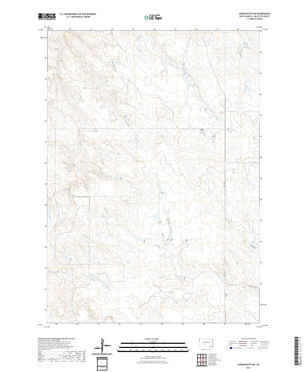 2021 Cedar Butte NE2021 Print · USGSMellette County is shown here in the early 2020s, preserving a landscape of open prairie and essential watercourses. Researchers can trace the winding paths of Larvie Cr and Cottonwood Cr or follow rural routes like Running Bird Rd.
 - 2021 Map of Stamford SW, 2021 Print
 2021 Stamford SW2021 Print · USGSThe northern plains of Jackson County are defined here by the winding White River and its network of prairie tributaries. Researchers can trace the watercourses of Brave Bull Cr and Black Pipe Cr alongside modern routes like Brave Bull Rd.
 - 2021 Map of Norris, 2021 Print
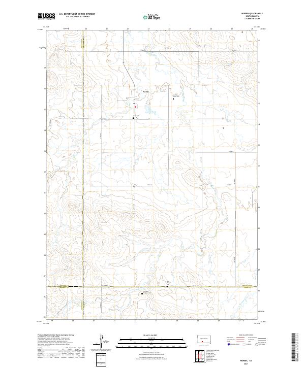 2021 Norris2021 Print · USGSThe rural prairie landscape surrounding Norris is documented here as it appeared in the early 2020s. Researchers can locate family landmarks such as the Red Leaf Tiospaye Cem, Poor Thunder Cem, and the winding path of Black Pipe Cr.
 - 2021 Map of Cedar Butte, 2021 Print
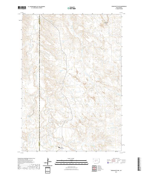
 2021 Cedar Butte2021 Print · USGSMellette County is documented in the modern era as a landscape of isolated geological landmarks and remote prairie settlements. Researchers can locate the Cedarbutte Cem and trace the contours of The Devils Backbone and Devils Gate.
 - 2021 Map of Okaton SW, 2021 Print
 2021 Okaton SW2021 Print · USGSThe rural border of Jones and Mellette Counties is defined here by the winding course of the White River in the early 2020s. Researchers can trace the rugged drainage patterns of Cottonwood Cr, Cedar Cr, and Yukon Cr as they feed into the river valley.
 - 2021 Map of Mouth of Little Dog Creek, 2021 Print
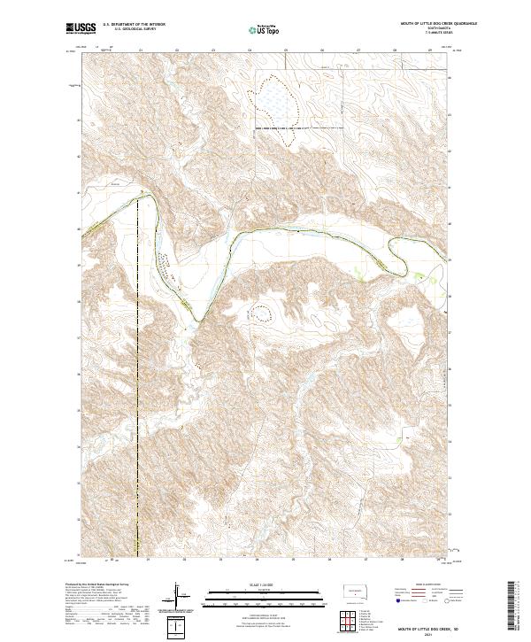 2021 Mouth of Little Dog Creek2021 Print · USGSIn south-central South Dakota, this modern survey illustrates the winding river breaks where Lyman and Tripp counties meet. Researchers can trace the rugged drainage patterns of Little Dog Cr and locate the prominent peaks of the Pahapesto Buttes along the White River.
 - 2021 Map of Carter, 2021 Print
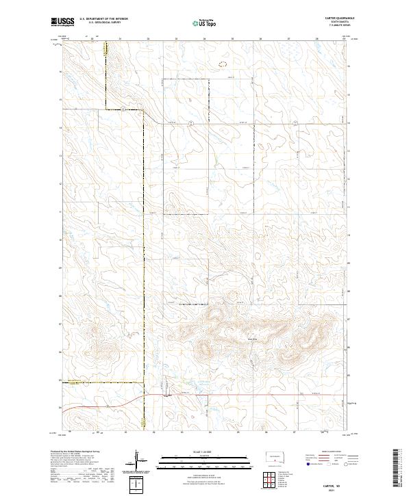 2021 Carter2021 Print · USGSThe rural prairie landscape surrounding Carter is captured here at the start of the 2020s, showing the intersection of three different counties. Genealogists and local historians can trace the paths of De Bell Cr and Two Nation Cr near the Red Hills and Carter Dam Reservoir.
 - 2021 Map of Cedar Butte NW, 2021 Print
 2021 Cedar Butte NW2021 Print · USGSMellette and Jackson counties are captured in this contemporary survey of South Dakota's creek-carved plains. Genealogists can locate family sites near Prospect Cem or the First Body of Jesus Christ Cem Corn Creek along the winding Black Pipe Cr.
 - 2021 Map of Okaton SE, 2021 Print
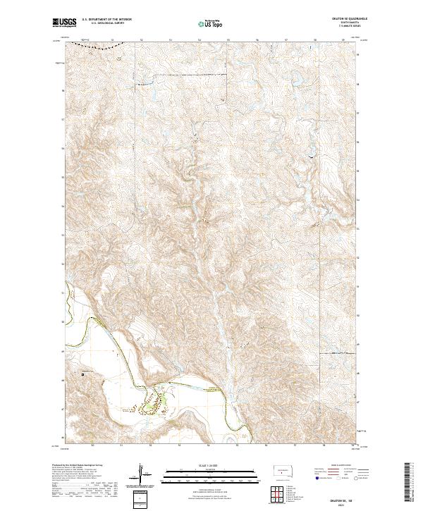 2021 Okaton SE2021 Print · USGSJones and Mellette counties appear here as a quiet expanse of plains and river breaks in the early 2020s. Genealogists and local historians can locate the Barnette Cem and trace the winding course of the White River near Lerdahl Pl.
 - 2021 Map of Westover, 2021 Print
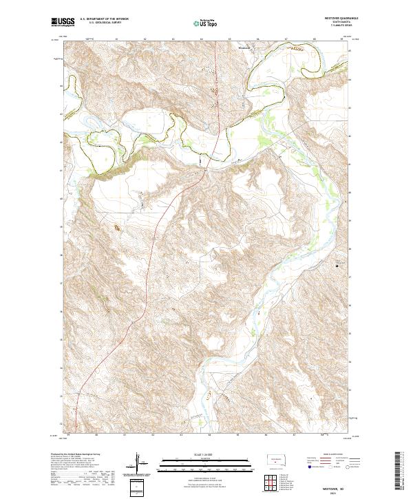 2021 Westover2021 Print · USGSThe rural landscapes of Mellette County are captured here at the start of the 2020s, centered on the White River valley. Genealogists and local historians can locate the Saint Phillip Cem and trace old prairie routes like Two Kettle Rd and Gusty Ridge Rd.
 - 2021 Map of White River West, 2021 Print
 2021 White River West2021 Print · USGSMellette County is documented here in the early 2020s, centered on the western environs of the White River settlement. Family historians can trace local landmarks and burial sites including White River Cem, Saint Ignatius Cem, and the path of the Little White River.
Showing maps 1-25 of 32
Top cities of Mellette County
Frequently asked questions
- What are the different types of historical maps available for Mellette County?
- What is the oldest map of Mellette County?
- Where can I purchase historical maps of Mellette County for my home or office?
- Where can I download high-res historical maps of Mellette County?
- Are there historical topographic maps available for Mellette County?
- Is there historical aerial imagery available for Mellette County?
- Where are historical maps of Mellette County sourced from?