2010s Maps of Potter County, South Dakota
Explore 69 historic maps of Potter County from the 2010s. These maps offer a rare glimpse into what life looked like during the 2010s — showing old roads, neighborhoods, homes, and landmarks that have changed or disappeared over time.
Whether you're researching your family's past, planning a metal detecting trip, or studying how Potter County's landscape evolved across the 2010s, these high-resolution maps are a powerful tool for exploring the history of this region.
- Focus on a specific era: All maps on this page are from the 2010s, giving you a focused view of this time period.
- See what’s changed: Compare century-old streets, trails, and buildings to today's modern landscape using overlays and satellite layers.
- Research with precision: Use these maps for genealogy, historical research, land use analysis, or educational projects.
- View, download, or print: Maps are fully viewable online in high resolution, and can be downloaded or printed for your own records.
Start exploring Potter County's history through authentic maps from the 2010s. This is your window into the past.
Potter County, SD maps
(69)- 2012 Map of Seneca SW, 2012 Print
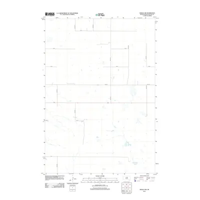 2012 Seneca SW2012 Print · USGSSouth Dakota's prairie wetlands and section-line grids are captured here during the early 2010s. For genealogists and researchers, this map clarifies the rural infrastructure of Potter County, from the junction of 324th Ave and 159 St to the remote path of 164 St.
 - 2012 Map of Gettysburg, 2012 Print
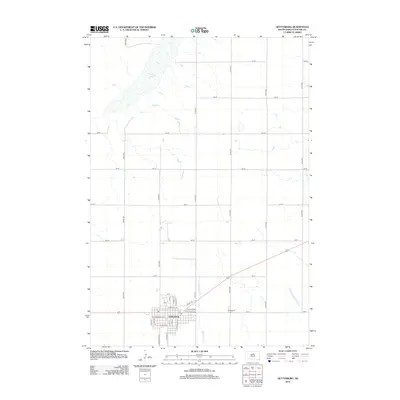 2012 Gettysburg2012 Print · USGSGettysburg and the surrounding Potter County prairie appear here in the early twenty-first century as a landscape of structured agricultural sections. Researchers can trace local lineage at Gettysburg Cem or explore the town's core along E Railway Ave and N Potter St.
 - 2012 Map of Seneca, 2012 Print
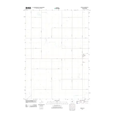 2012 Seneca2012 Print · USGSFaulk County agriculture and small-town life are captured here in the early twenty-first century. Researchers can trace the local cemetery at Saint Boniface Cem and follow the natural path of the S Fork Snake Cr through the prairie grid.
 - 2012 Map of Lebanon, 2012 Print
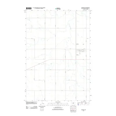 2012 Lebanon2012 Print · USGSLebanon appears as a quiet agricultural center in Potter County during the early twenty-first century. Genealogists and local historians can trace the town's layout and visit nearby sites like Saint Mary's Catholic Cem and the Lebanon Protestant Cem.
 - 2012 Map of Seneca NW, 2012 Print
 2012 Seneca NW2012 Print · USGSThis rural portion of Potter County in the early 2010s reflects the enduring agricultural grid of the South Dakota prairie. Genealogists and local historians can locate small, remote burial sites such as Advent Cem and Spring Cem near Alkali Lake.
 - 2012 Map of Tolstoy, 2012 Print
 2012 Tolstoy2012 Print · USGSThe prairie landscape of Potter County in the early twenty-first century is captured here through its rigid grid of section-line roads and small rural settlements. Genealogists can locate several local burial grounds including Saint Jacobs Cem, Lutheran Cem, and the Seventh-Day Adventist Cem.
 - 2012 Map of Flight Lake, 2012 Print
 2012 Flight Lake2012 Print · USGSPotter County, South Dakota, is depicted here in the early twenty-first century as a landscape of expansive prairie farmland and isolated water bodies. Genealogists and local historians can locate the Pembroke Cem and trace rural section lines near Flight Lake.
 - 2012 Map of Hoven, 2012 Print
 2012 Hoven2012 Print · USGSHoven and the surrounding Potter County prairie are captured here in the early twenty-first century as the landscape remains defined by its agricultural grid. Researchers can trace the town’s layout and find local landmarks like the Saint Anthony Catholic Cem and the intersection of Day St and E 3rd Ave.
 - 2012 Map of Lake Hurley SE, 2012 Print
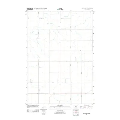 2012 Lake Hurley SE2012 Print · USGSPotter County agricultural lands are captured here during the early 2010s, showing the intersection of natural prairie drainage and the county grid. Researchers can trace the path of Little Cheyenne Cr and the network of section-line roads like 303rd Ave and 160 St.
 - 2012 Map of Patch Skin Buttes SW, 2012 Print
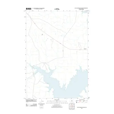 2012 Patch Skin Buttes SW2012 Print · USGSThe Cheyenne River Reservation landscape meets the expansive waters of Lake Oahe in this modern survey of central South Dakota. Genealogists and local historians can locate the community of Marksville and trace the winding paths of Stove Cr and Scatter Butte Cr.
 - 2012 Map of Lake Hurley NE, 2012 Print
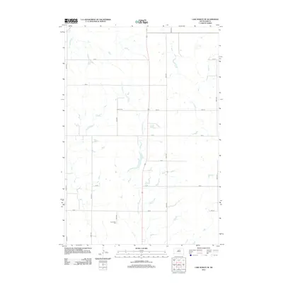 2012 Lake Hurley NE2012 Print · USGSPotter County’s agricultural landscape is documented here in the early twenty-first century, showing the enduring grid of prairie section roads. Family historians can locate specific landmarks like Hanson Cem and Appomattox Cem near the banks of Little Cheyenne Cr.
 - 2012 Map of Patch Skin Buttes SE, 2012 Print
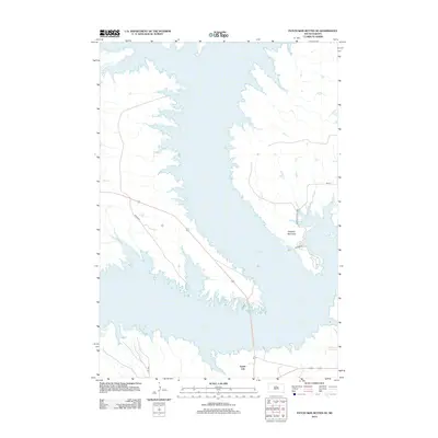 2012 Patch Skin Buttes SE2012 Print · USGSLake Oahe and the Missouri River valley define the Potter County landscape in the early 2010s. Researchers can trace the development of Forest City and recreational sites like the W Whitlock Rec Area and Dolphus Peninsula.
 - 2012 Map of Steamboat Creek, 2012 Print
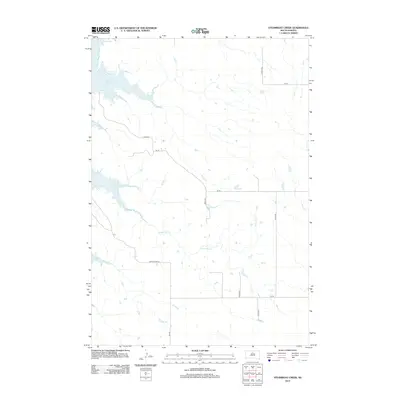 2012 Steamboat Creek2012 Print · USGSPotter County's rural landscape is captured here in the early twenty-first century, centered on the waters of the Missouri River valley. You can trace the path of Steamboat Cr and the rural road network including Akaska Rd and Dodge Draw Rd.
 - 2012 Map of Lake Hurley, 2012 Print
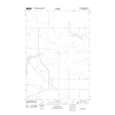 2012 Lake Hurley2012 Print · USGSPotter County’s agricultural heartland and the expansive waters of the Missouri River basin are captured here in the early twenty-first century. Researchers can trace the winding Little Cheyenne Cr and local landmarks like Lake Hurley or the western shores of Lake Oahe.
 - 2012 Map of Gettysburg Municipal Airport NE, 2012 Print
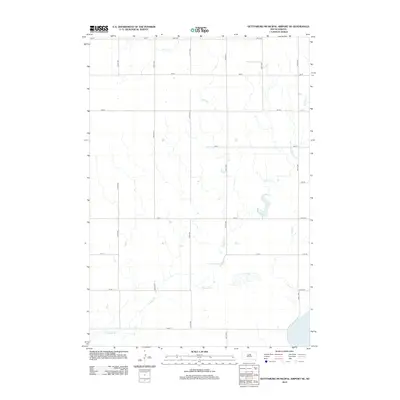 2012 Gettysburg Municipal Airport NE2012 Print · USGSPotter County remained a landscape of vast agricultural sections and deep prairie draws in the early twenty-first century. Researchers can trace the path of Okobojo Cr as it winds toward Stone Lake, following the rural grid of 170th St and 320th Ave.
 - 2012 Map of Artichoke Butte NE, 2012 Print
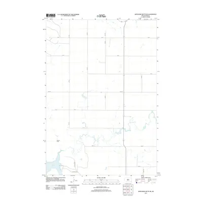 2012 Artichoke Butte NE2012 Print · USGSThe Missouri River shoreline in Potter County is captured here in the early twenty-first century as it meets the vast expanse of the reservoir. Genealogists and local historians can trace the rural road grid and shoreline access points like Sutton Bay Rd near Lake Oahe and Artichoke Cr.
 - 2012 Map of Gettysburg Municipal Airport, 2012 Print
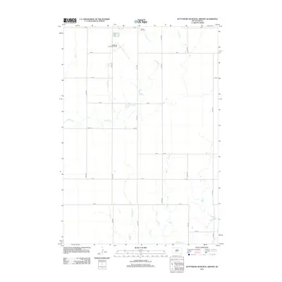 2012 Gettysburg Municipal Airport2012 Print · USGSThe rural expanse of Potter County comes into focus in this early twenty-first century survey of the South Dakota prairie. Genealogists and local historians can locate Sacred Heart Cemetery and trace the paths of Artichoke Creek and Okobojo Creek.
 - 2012 Map of Bald Hills, 2012 Print
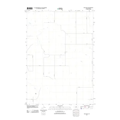 2012 Bald Hills2012 Print · USGSPotter County, South Dakota, is captured here in the early twenty-first century, showing a remote landscape of prairie hills and section roads. Trace the intersection of Co Hwy-3 and Ellisville Ave or locate family land near the Bald Hills and 173rd St.
 - 2012 Map of Thomas Lake NW, 2012 Print
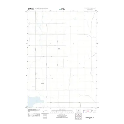 2012 Thomas Lake NW2012 Print · USGSRural Potter County at the start of the decade shows a landscape of expansive farms and prairie drainages. Genealogists and local historians can locate Copp Cem and trace the paths of Okobojo Cr and Stone Lake.
 - 2012 Map of Agar NE, 2012 Print
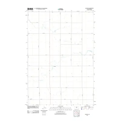 2012 Agar NE2012 Print · USGSThe rural prairie around Gorman comes into focus in this 2012 survey, showing a landscape shaped by agriculture and the winding Artichoke Cr. Local historians can trace family ties at the Schreiber Cem or follow the grid of old section roads.
 - 2012 Map of Agar NW, 2012 Print
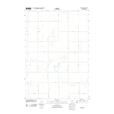 2012 Agar NW2012 Print · USGSPotter County’s agricultural landscape is documented here in the early twenty-first century, showing the organized grid of section roads and water drainage. Researchers can locate the Petro Family Cem and trace the path of Artichoke Cr as it flows through the prairie.
 - 2012 Map of Four Bear Creek, 2012 Print
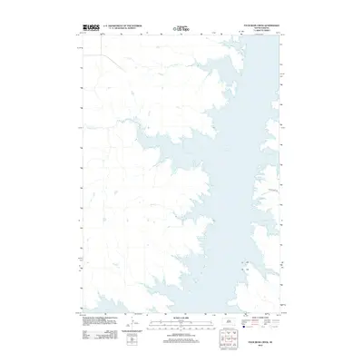 2012 Four Bear Creek2012 Print · USGSThe Missouri River valley in central South Dakota appears here as a vast reservoir system during the early twenty-first century. Researchers can trace the complex shoreline of Lake Oahe and its many inlets, including Steamboat Bay, Buffalo Bay, and Latin Bay.
 - 2012 Map of Artichoke Butte NW, 2012 Print
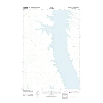 2012 Artichoke Butte NW2012 Print · USGSDewey County’s prairie landscape meets the massive Missouri River reservoir in the early 2010s. Researchers can trace the flooded drainage of Pascal Cr and Bull Cr or locate rural transit points along BIA HWY 8 and 167 ST.
 - 2015 Map of Agar NE, 2015 Print
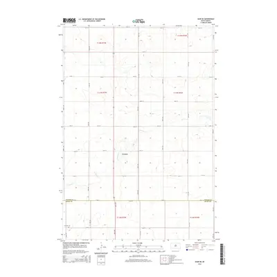 2015 Agar NE2015 Print · USGSGorman and the surrounding plains of Potter County are captured in this mid-2010s survey, showing the deep-rooted grid of prairie life. Genealogists can locate the Schreiber Cem and trace the drainage of Artichoke Cr through the local section lines.
 - 2015 Map of Agar NW, 2015 Print
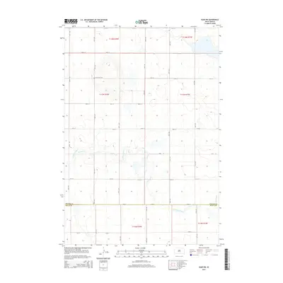 2015 Agar NW2015 Print · USGSThe open plains of central South Dakota are revealed in this twenty-first-century survey, spanning the rural boundary of Potter and Sully counties. Genealogists and local historians can locate the isolated Petro Family Cem or trace the winding course of Artichoke Creek.
Showing maps 1-25 of 69
Top cities of Potter County
Frequently asked questions
- What are the different types of historical maps available for Potter County?
- What is the oldest map of Potter County?
- Where can I purchase historical maps of Potter County for my home or office?
- Where can I download high-res historical maps of Potter County?
- Are there historical topographic maps available for Potter County?
- Is there historical aerial imagery available for Potter County?
- Where are historical maps of Potter County sourced from?