2000s (21st Century) Maps of Tulare Township, South Dakota
Explore 16 historic maps of Tulare Township from the 2000s (21st Century). These maps offer a rare glimpse into what life looked like during the 2000s — showing old roads, neighborhoods, homes, and landmarks that have changed or disappeared over time.
Whether you're researching your family's past, planning a metal detecting trip, or studying how Tulare Township's landscape evolved across the 2000s, these high-resolution maps are a powerful tool for exploring the history of this region.
- Focus on a specific era: All maps on this page are from the 2000s, giving you a focused view of this time period.
- See what’s changed: Compare century-old streets, trails, and buildings to today's modern landscape using overlays and satellite layers.
- Research with precision: Use these maps for genealogy, historical research, land use analysis, or educational projects.
- View, download, or print: Maps are fully viewable online in high resolution, and can be downloaded or printed for your own records.
Start exploring Tulare Township's history through authentic maps from the 2000s. This is your window into the past.
Tulare Township, SD maps
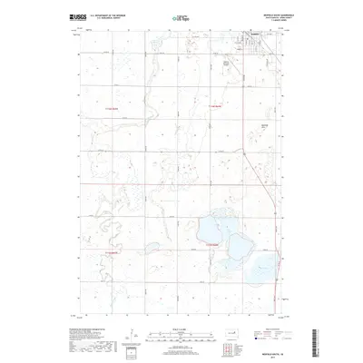
(16)- 2012 Map of Hitchcock, 2012 Print
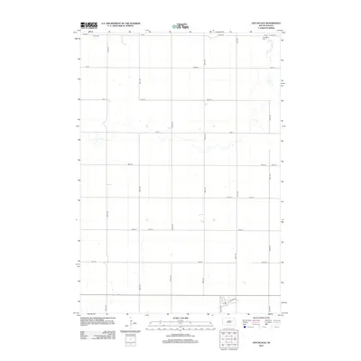 2012 Hitchcock2012 Print · USGSCovers Tulare Township, including Hitchcock, Garfield Township, and other nearby areas
 - 2012 Map of Redfield South, 2012 Print
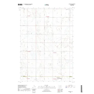
 2012 Redfield South2012 Print · USGSCovers Tulare Township, including Redfield, Exline Township, and other nearby areas
 - 2012 Map of Frankfort SW, 2012 Print
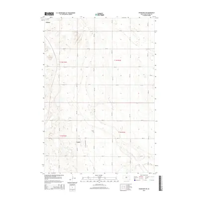
 2012 Frankfort SW2012 Print · USGSCovers Tulare Township, including Redfield, Crandon, and other nearby areas
 - 2012 Map of Tulare, 2012 Print
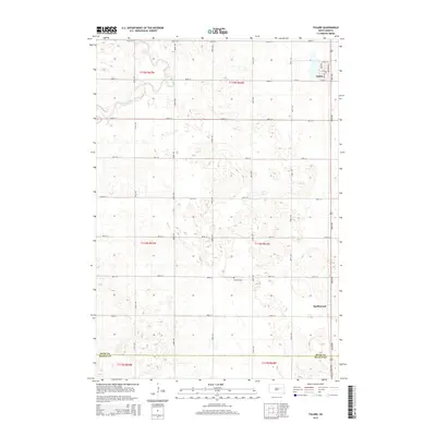
 2012 Tulare2012 Print · USGSCovers Tulare Township, including Tulare, Garfield Township, and other nearby areas
 - 2015 Map of Frankfort SW, 2015 Print
 2015 Frankfort SW2015 Print · USGSCovers Tulare Township, including Redfield, Crandon, and other nearby areas
 - 2015 Map of Hitchcock, 2015 Print
 2015 Hitchcock2015 Print · USGSCovers Tulare Township, including Hitchcock, Garfield Township, and other nearby areas
 - 2015 Map of Redfield South, 2015 Print
 2015 Redfield South2015 Print · USGSCovers Tulare Township, including Redfield, Exline Township, and other nearby areas
 - 2015 Map of Tulare, 2015 Print
 2015 Tulare2015 Print · USGSCovers Tulare Township, including Tulare, Garfield Township, and other nearby areas
 - 2017 Map of Frankfort SW, 2017 Print
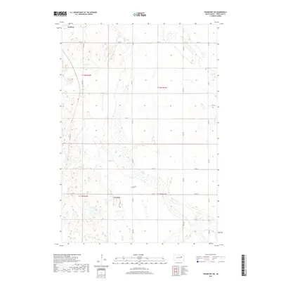 2017 Frankfort SW2017 Print · USGSCovers Tulare Township, including Redfield, Crandon, and other nearby areas
 - 2017 Map of Tulare, 2017 Print
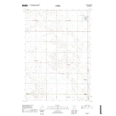 2017 Tulare2017 Print · USGSCovers Tulare Township, including Tulare, Garfield Township, and other nearby areas
 - 2017 Map of Redfield South, 2017 Print
 2017 Redfield South2017 Print · USGSCovers Tulare Township, including Redfield, Exline Township, and other nearby areas
 - 2017 Map of Hitchcock, 2017 Print
 2017 Hitchcock2017 Print · USGSCovers Tulare Township, including Hitchcock, Garfield Township, and other nearby areas
 - 2021 Map of Frankfort SW, 2021 Print
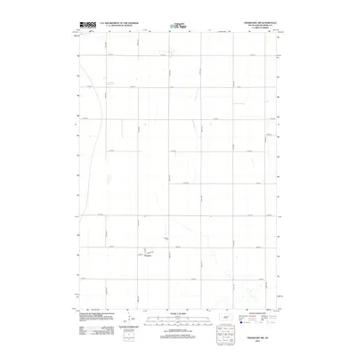
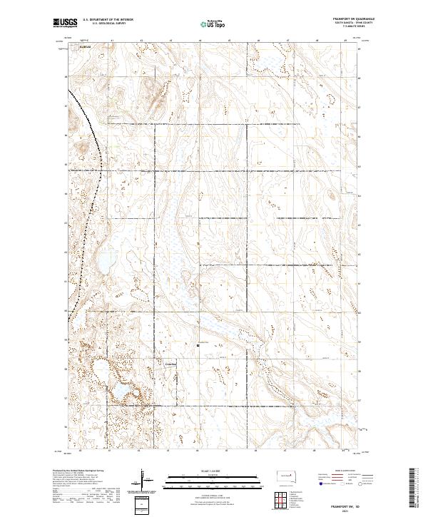 2021 Frankfort SW2021 Print · USGSSpink County's agricultural heartland is captured here in the early 2020s, showcasing the traditional section-line grid of the South Dakota plains. Genealogists and local historians can locate the Crandon Cem and trace the small community of Crandon along 387th Ave.
 - 2021 Map of Hitchcock, 2021 Print
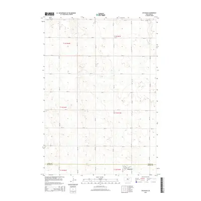
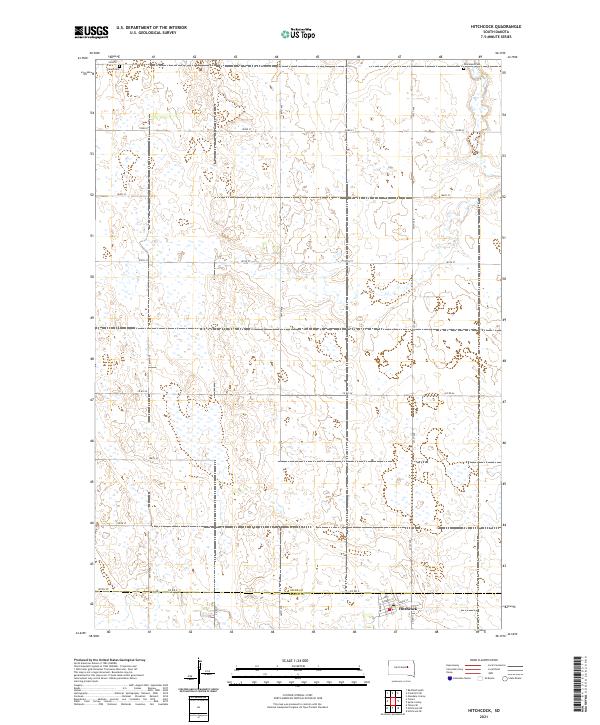 2021 Hitchcock2021 Print · USGSThe town of Hitchcock and the surrounding agricultural plains of the South Dakota prairie are captured here in the early twenty-first century. Genealogists can locate Tulare Cem and Graceland Cem while tracing the Spink and Beadle County line.
 - 2021 Map of Tulare, 2021 Print
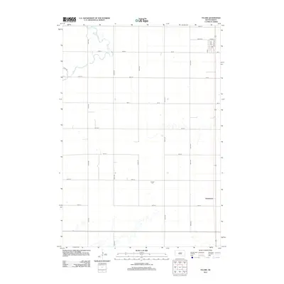
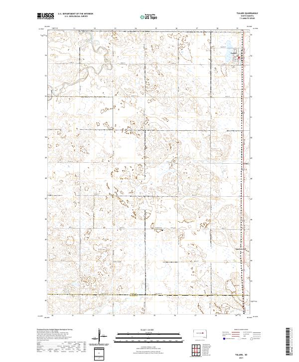 2021 Tulare2021 Print · USGSSpink County agriculture and the prairie landscape of eastern South Dakota are documented in this recent survey. Local historians and genealogists can trace the rural infrastructure around Tulare and locate the Garfield Cem and the settlement of Spottswood.
 - 2021 Map of Redfield South, 2021 Print
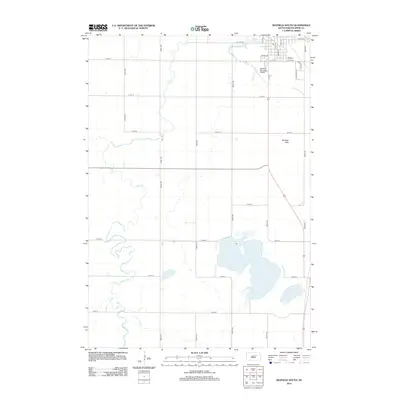
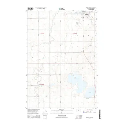
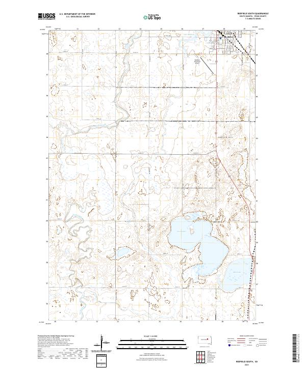 2021 Redfield South2021 Print · USGSRedfield at the start of the 2020s remains a vital Spink County hub defined by its prairie wetlands and section-line roads. Trace the civic center at the Spink County Courthouse or locate natural landmarks like Redfield Hill and the waters of Twin Lakes.
End of results
Showing maps 1-16 of 16
Top cities near Tulare Township
- Redfield historical maps
- Tulare historical maps
- Frankfort historical maps
- Ashton historical maps
- Hitchcock historical maps
- Zell historical maps
See more
Top neighborhoods of Tulare Township
Frequently asked questions
- What are the different types of historical maps available for Tulare Township?
- What is the oldest map of Tulare Township?
- Where can I purchase historical maps of Tulare Township for my home or office?
- Where can I download high-res historical maps of Tulare Township?
- Are there historical topographic maps available for Tulare Township?
- Is there historical aerial imagery available for Tulare Township?
- Where are historical maps of Tulare Township sourced from?