Old Maps of Tulare Township, South Dakota for Academic Research
Study the evolution of Tulare Township with 25 high-resolution historic maps. Whether you're teaching, researching, or modeling changes in land use, these maps provide essential visual documentation of urban, environmental, and geographic change.
- Analyze long-term change: Track patterns in development, transportation, and natural features.
- Ideal for environmental or urban studies: Support academic projects with primary historical map data.
- Use in the classroom or lab: Educators and researchers rely on these maps to bring historical context to life.
These maps are a powerful tool for teaching, research, and visualizing how Tulare Township has changed over the decades.
Tulare Township, SD maps
(25)- 1895 Map of Byron
 1895 Byron1895 Print · USGSEastern South Dakota was rapidly organizing into townships when this survey was conducted. You can trace the path of the Chicago and Northwestern R. R. through early settlements like Frankfort, Doland, and Ashton.4 unique versions available
 - 1899 Map of Redfield
 1899 Redfield1899 Print · USGSAgricultural expansion across Spink and Hand Counties is in full swing here during the late nineteenth century. Genealogists can trace early rail-side settlements like Redfield, Rockham, and Tulare alongside prairie outposts such as Burdette and Florence.2 unique versions available
 - 1953 Map of Huron, 1959 Print
 1953 Huron1959 Print · USGSCentral South Dakota comes alive in the mid-1950s as a thriving rail and agricultural corridor between the Missouri and James Rivers. Trace the legacy of family farms and prairie towns like Huron, Faulkton, and Wessington Springs along the historic Chicago and North Western rail lines.3 unique versions available
 - 1954 Map of Huron, 1977 Print
 1954 Huron1977 Print · USGSCentral South Dakota was a landscape of grain elevators and river bends during the mid-fifties. Genealogists and historians can trace the development of the James River valley through railroad towns like Redfield and the sprawling Crow Creek Indian Reservation.
 - 1966 Map of Redfield South, 1967 Print
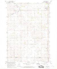
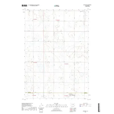
 1966 Redfield South1967 Print · USGSSpink County's agricultural and rail landscape is captured here in the mid-sixties, centered on the growing hub of Redfield. Researchers can trace the dual rail lines of the Chicago and North Western and C M St P & P near the waters of Twin Lakes.
 - 1967 Map of Frankfort SW, 1968 Print
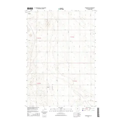
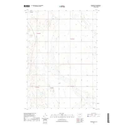
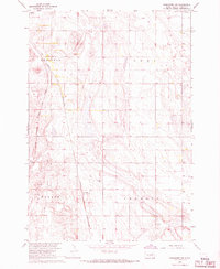 1967 Frankfort SW1968 Print · USGSSpink County during the late sixties reveals an intricate grid of farmsteads and railroads essential to the South Dakota prairie economy. Researchers can locate the Crandon Cem, trace the path of the Chicago and North Western railroad, and identify early Townhall sites.
 - 1967 Map of Hitchcock, 1969 Print
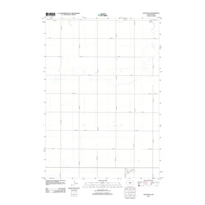
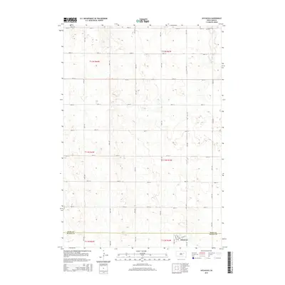
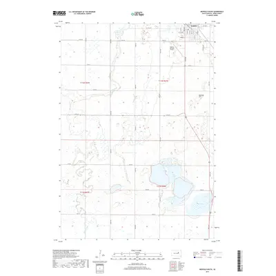
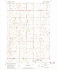 1967 Hitchcock1969 Print · USGSThe rural prairie of Beadle and Spink counties comes into focus during the late 1960s, centered on the railroad town of Hitchcock. Researchers can trace the CHICAGO AND NORTH WESTERN line and locate rural landmarks like Tulare Cem and Flowing Well.
 - 1967 Map of Tulare, 1970 Print
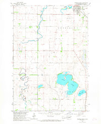
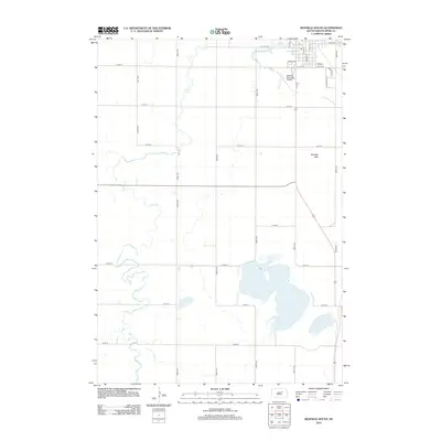
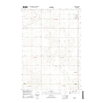
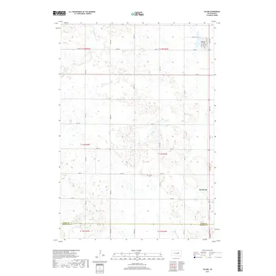
 1967 Tulare1970 Print · USGSThe Spink County prairie near Tulare is captured in the late sixties, showing a landscape defined by the Milwaukee Road railroad. Researchers can locate the Garfield Cem, the remote siding at Spottswood, and the many agricultural wells that sustained these townships.
 - 1985 Map of Redfield, 1986 Print
 1985 Redfield1986 Print · USGSSpink and Hand counties are captured here in the mid-1980s, revealing a landscape of rail-dependent prairie towns and extensive waterfowl conservation areas. Genealogists and historians can trace the Chicago and North Western rail lines through Redfield to outlying settlements like Tulare and Frankfort.
 - 2012 Map of Hitchcock, 2012 Print
 2012 Hitchcock2012 Print · USGSCovers Tulare Township, including Hitchcock, Garfield Township, and other nearby areas
 - 2012 Map of Redfield South, 2012 Print
 2012 Redfield South2012 Print · USGSCovers Tulare Township, including Redfield, Exline Township, and other nearby areas
 - 2012 Map of Frankfort SW, 2012 Print
 2012 Frankfort SW2012 Print · USGSCovers Tulare Township, including Redfield, Crandon, and other nearby areas
 - 2012 Map of Tulare, 2012 Print
 2012 Tulare2012 Print · USGSCovers Tulare Township, including Tulare, Garfield Township, and other nearby areas
 - 2015 Map of Frankfort SW, 2015 Print
 2015 Frankfort SW2015 Print · USGSCovers Tulare Township, including Redfield, Crandon, and other nearby areas
 - 2015 Map of Hitchcock, 2015 Print
 2015 Hitchcock2015 Print · USGSCovers Tulare Township, including Hitchcock, Garfield Township, and other nearby areas
 - 2015 Map of Redfield South, 2015 Print
 2015 Redfield South2015 Print · USGSCovers Tulare Township, including Redfield, Exline Township, and other nearby areas
 - 2015 Map of Tulare, 2015 Print
 2015 Tulare2015 Print · USGSCovers Tulare Township, including Tulare, Garfield Township, and other nearby areas
 - 2017 Map of Frankfort SW, 2017 Print
 2017 Frankfort SW2017 Print · USGSCovers Tulare Township, including Redfield, Crandon, and other nearby areas
 - 2017 Map of Tulare, 2017 Print
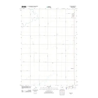
 2017 Tulare2017 Print · USGSCovers Tulare Township, including Tulare, Garfield Township, and other nearby areas
 - 2017 Map of Redfield South, 2017 Print
 2017 Redfield South2017 Print · USGSCovers Tulare Township, including Redfield, Exline Township, and other nearby areas
 - 2017 Map of Hitchcock, 2017 Print
 2017 Hitchcock2017 Print · USGSCovers Tulare Township, including Hitchcock, Garfield Township, and other nearby areas
 - 2021 Map of Frankfort SW, 2021 Print
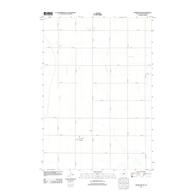
 2021 Frankfort SW2021 Print · USGSSpink County's agricultural heartland is captured here in the early 2020s, showcasing the traditional section-line grid of the South Dakota plains. Genealogists and local historians can locate the Crandon Cem and trace the small community of Crandon along 387th Ave.
 - 2021 Map of Hitchcock, 2021 Print
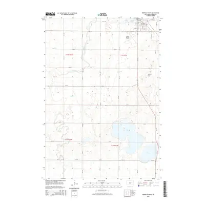
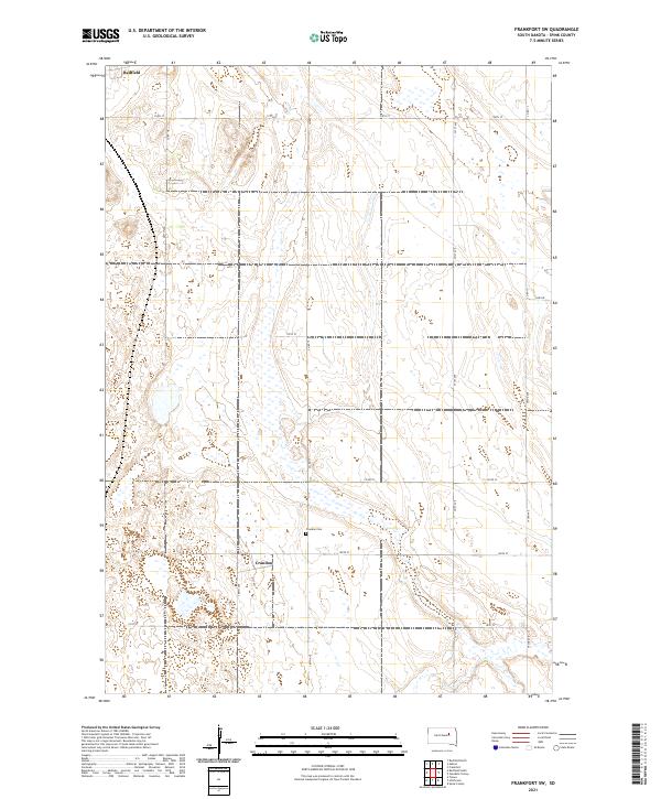
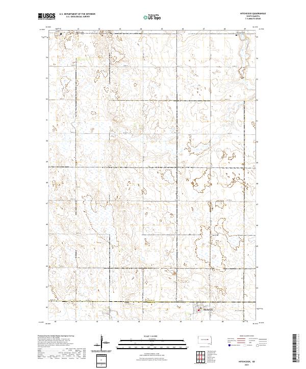 2021 Hitchcock2021 Print · USGSThe town of Hitchcock and the surrounding agricultural plains of the South Dakota prairie are captured here in the early twenty-first century. Genealogists can locate Tulare Cem and Graceland Cem while tracing the Spink and Beadle County line.
 - 2021 Map of Tulare, 2021 Print
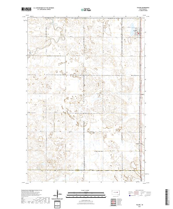 2021 Tulare2021 Print · USGSSpink County agriculture and the prairie landscape of eastern South Dakota are documented in this recent survey. Local historians and genealogists can trace the rural infrastructure around Tulare and locate the Garfield Cem and the settlement of Spottswood.
 - 2021 Map of Redfield South, 2021 Print
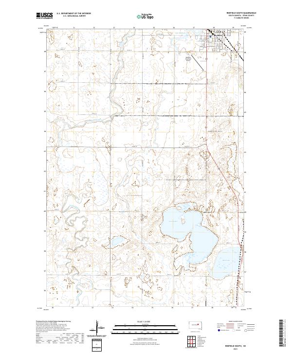 2021 Redfield South2021 Print · USGSRedfield at the start of the 2020s remains a vital Spink County hub defined by its prairie wetlands and section-line roads. Trace the civic center at the Spink County Courthouse or locate natural landmarks like Redfield Hill and the waters of Twin Lakes.
End of results
Showing maps 1-25 of 25
Top cities near Tulare Township
- Redfield historical maps
- Tulare historical maps
- Frankfort historical maps
- Ashton historical maps
- Hitchcock historical maps
- Zell historical maps
See more
Top neighborhoods of Tulare Township
Frequently asked questions
- What are the different types of historical maps available for Tulare Township?
- What is the oldest map of Tulare Township?
- Where can I purchase historical maps of Tulare Township for my home or office?
- Where can I download high-res historical maps of Tulare Township?
- Are there historical topographic maps available for Tulare Township?
- Is there historical aerial imagery available for Tulare Township?
- Where are historical maps of Tulare Township sourced from?