2020s Maps of Cumberland County, Tennessee
Explore 23 historic maps of Cumberland County from the 2020s. These maps offer a rare glimpse into what life looked like during the 2020s — showing old roads, neighborhoods, homes, and landmarks that have changed or disappeared over time.
Whether you're researching your family's past, planning a metal detecting trip, or studying how Cumberland County's landscape evolved across the 2020s, these high-resolution maps are a powerful tool for exploring the history of this region.
- Focus on a specific era: All maps on this page are from the 2020s, giving you a focused view of this time period.
- See what’s changed: Compare century-old streets, trails, and buildings to today's modern landscape using overlays and satellite layers.
- Research with precision: Use these maps for genealogy, historical research, land use analysis, or educational projects.
- View, download, or print: Maps are fully viewable online in high resolution, and can be downloaded or printed for your own records.
Start exploring Cumberland County's history through authentic maps from the 2020s. This is your window into the past.
Cumberland County, TN maps
(23)- 2022 Map of Grassy Cove, 2022 Print
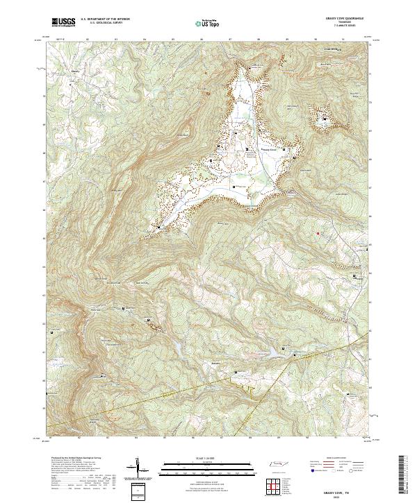 2022 Grassy Cove2022 Print · USGSThe enclosed karst valley of Grassy Cove and the surrounding ridges of the Cumberland Plateau are captured here in the early twenty-first century. Genealogists and local historians can trace family locations through numerous sites like Grassy Cove Methodist Church, Linary Cem, and King-Reed Cem.
 - 2022 Map of Pleasant Hill, 2022 Print
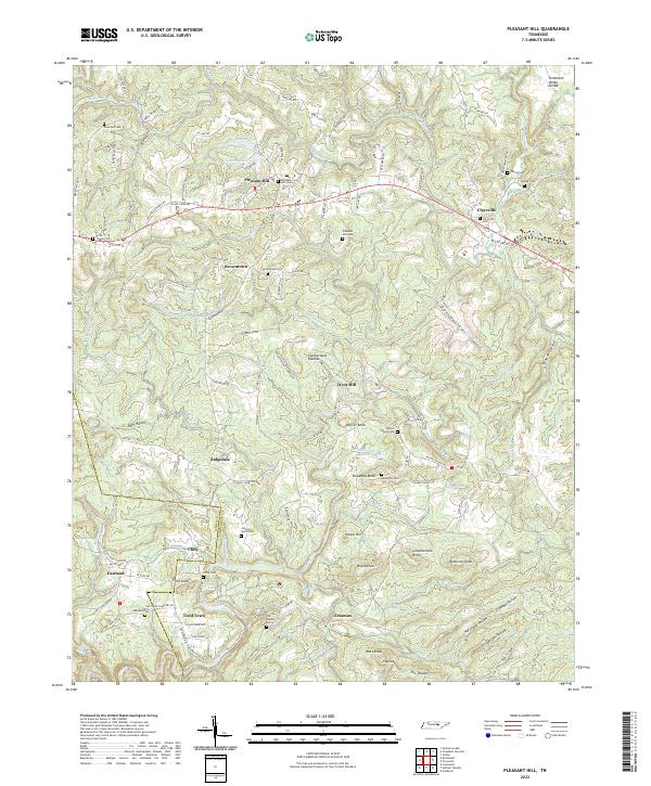 2022 Pleasant Hill2022 Print · USGSThe Cumberland Plateau west of Crossville comes into focus during this modern era, highlighting the rugged divide between the Caney Fork and northern watersheds. Trace family roots and local history through numerous rural burial grounds like Smith Chapel Cem and vanished rail paths along Old Railroad Grade Rd.
 - 2022 Map of Dorton, 2022 Print
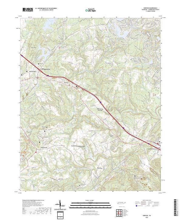 2022 Dorton2022 Print · USGSCumberland County’s unique New Deal-era settlement patterns are visible in this modern survey of the plateau. Researchers can trace family history through numerous local sites including Cumberland Homesteads, Bakers Chapel Cemetery, and the community at Crab Orchard.
 - 2022 Map of Cardiff, 2022 Print
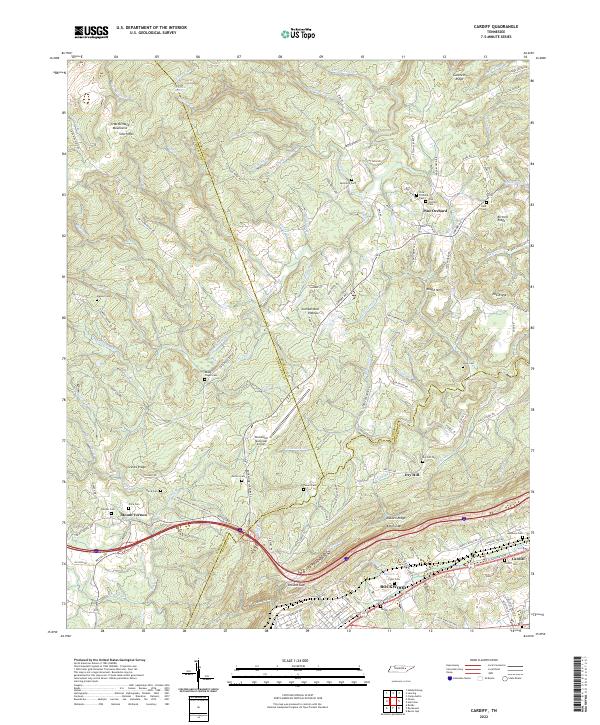 2022 Cardiff2022 Print · USGSThe Cumberland Plateau and Walden Ridge meet in this modern survey of the Roane County foothills. Genealogists can locate family landmarks like the Hembree Cem and Pyott Cem, or trace the development of Cardiff and Rockwood.
 - 2022 Map of Ozone, 2022 Print
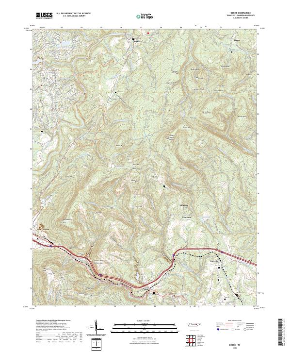 2022 Ozone2022 Print · USGSCumberland County mountain life and topography are captured in this recent survey of the Tennessee plateau. Genealogists and hikers can trace family burial sites at Antioch Cem and Day Cem, or explore the gaps around Ozone and Crab Orchard.
 - 2022 Map of Roddy, 2022 Print
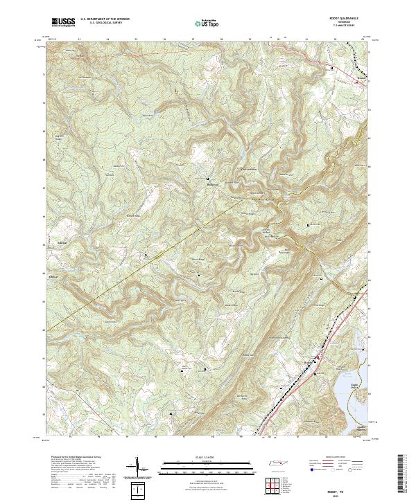 2022 Roddy2022 Print · USGSThe Cumberland Plateau meets the Tennessee Valley in the early 2020s, showing a landscape of deep hollows and family-named ridges. Genealogists can locate several remote burial grounds like Mount Sulphur Cem and Treadway Cem or trace the early paths of the Dixie Lee Hwy.
 - 2022 Map of Rockwood, 2022 Print
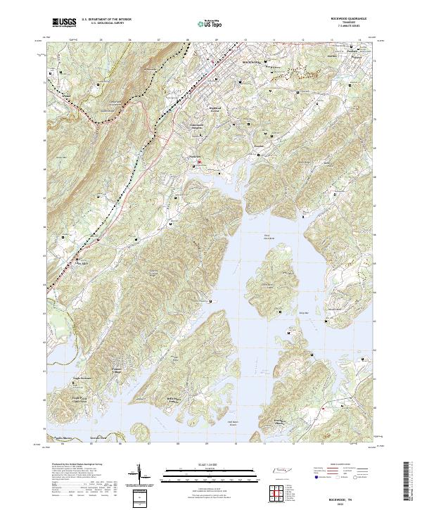 2022 Rockwood2022 Print · USGSRoane County settlement patterns and river geography are captured here as modern lakeside living meets historical ridge-country life. Genealogists can trace family roots at Post Oak Springs Cem, Honeycutt Cem, and Glen Alice Cem while following the Norfolk Southern rail corridor.
 - 2022 Map of Twin Bridges, 2022 Print
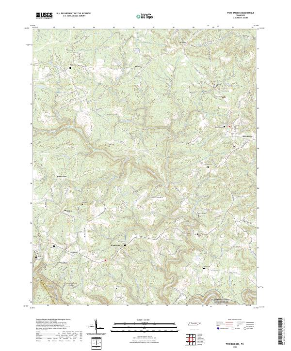 2022 Twin Bridges2022 Print · USGSThe Cumberland Plateau in the early 2020s remains a landscape of dispersed settlements and family land. Genealogists can locate family-named landmarks like Meister Hill Cem, Adkins Mill, and Howard Cem along the winding ridges near Deer Lodge.
 - 2022 Map of Melvine, 2022 Print
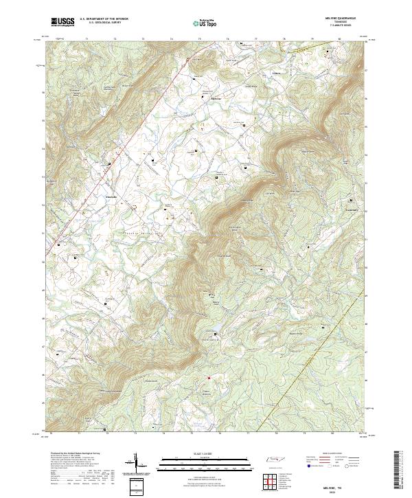 2022 Melvine2022 Print · USGSBledsoe County is shown here at the intersection of the Sequatchie Valley and the high ridges of the Cumberland Plateau. Researchers can trace numerous family burial grounds and small communities like Melvine, Luminary, and the Swafford Chapel Cem.
 - 2022 Map of De Rossett, 2022 Print
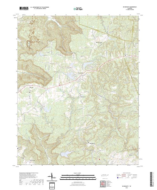 2022 De Rossett2022 Print · USGSThe Cumberland Plateau terrain of White County is revealed in this modern survey of the high coves and ridges. Genealogists can locate family landmarks like McKinney Cem and Anderson Cem or trace the early paths through Blue Spring Cove and Geer Cove.
 - 2022 Map of Lonewood, 2022 Print
 2022 Lonewood2022 Print · USGSThe Cumberland Plateau landscape near the White and Van Buren county line is captured here in a moment of modern preservation and rural quiet. Researchers can trace remote family landmarks and old mountain settlements like Bethesda, Lonewood, and Graveyard Ridge Cem.
 - 2022 Map of Herbert Domain, 2022 Print
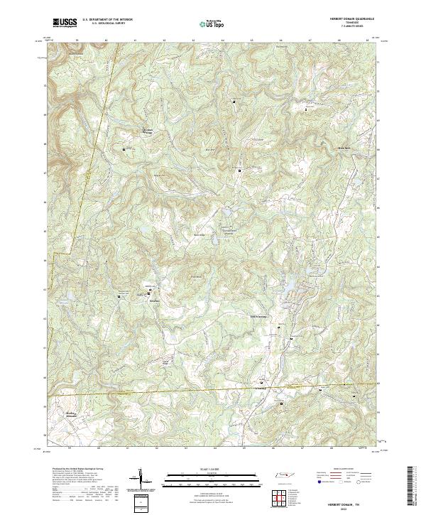 2022 Herbert Domain2022 Print · USGSThe Cumberland Plateau south of Crossville comes into focus in this recent survey of rural Tennessee. Genealogists can locate family landmarks like Akin Cem, Swallows Cem, and the old settlement at Thomas Springs.
 - 2022 Map of Clarkrange, 2022 Print
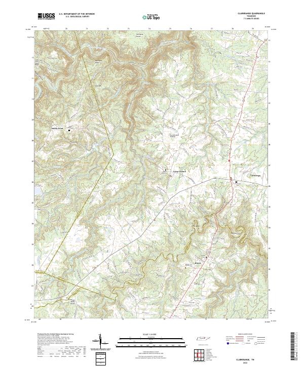 2022 Clarkrange2022 Print · USGSThe Cumberland Plateau landscape near Clarkrange is captured here in the twenty-first century, showing the rural communities and cemeteries of Fentress County. Genealogy enthusiasts can locate family burial grounds like Muddy Pond Cem and Mount Union Cem, or trace the Tennessee Valley Divide and the waters of Hurricane Cr.
 - 2022 Map of Hebbertsburg, 2022 Print
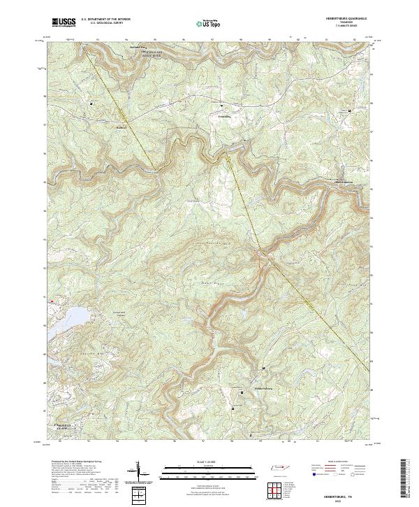 2022 Hebbertsburg2022 Print · USGSThe Cumberland Plateau and the deep valleys of the Obed Wild And Scenic River define this rural Tennessee landscape in the early twenty-first century. Genealogists can locate numerous small burial grounds, including Potters Chapel Cem, New Home Cem, and Sims Cem.
 - 2022 Map of Fox Creek, 2022 Print
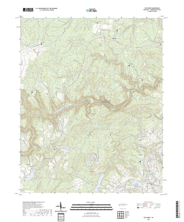 2022 Fox Creek2022 Print · USGSCumberland County communities like Genesis and Peavine are captured here in the early twenty-first century as they sit atop the Cumberland Plateau. Researchers can locate numerous family burial sites, including Slate Springs Cem and Goss Cem, alongside the protected Obed Wild And Scenic River.
 - 2022 Map of Lancing, 2022 Print
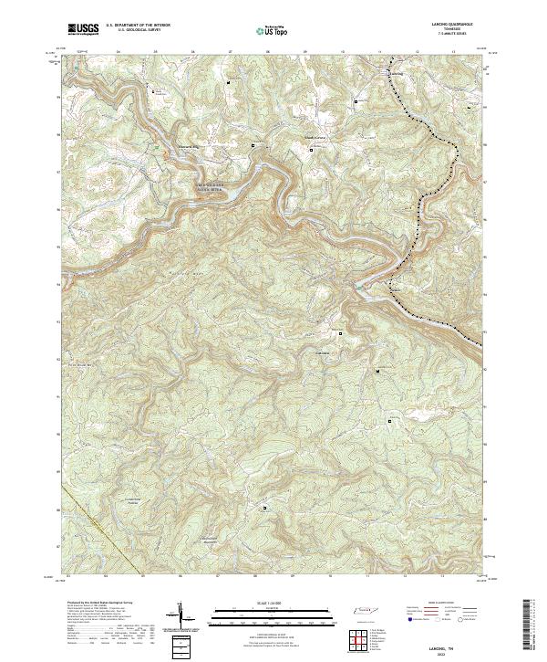 2022 Lancing2022 Print · USGSThe Morgan County highlands are documented here during the early twenty-first century as the rugged Cumberland Plateau landscape remains largely intact. Genealogists can locate family burial sites like Hamby Cem and Hall Cem or trace the winding Cumberland Trl past Nemo.
 - 2022 Map of Obey City, 2022 Print
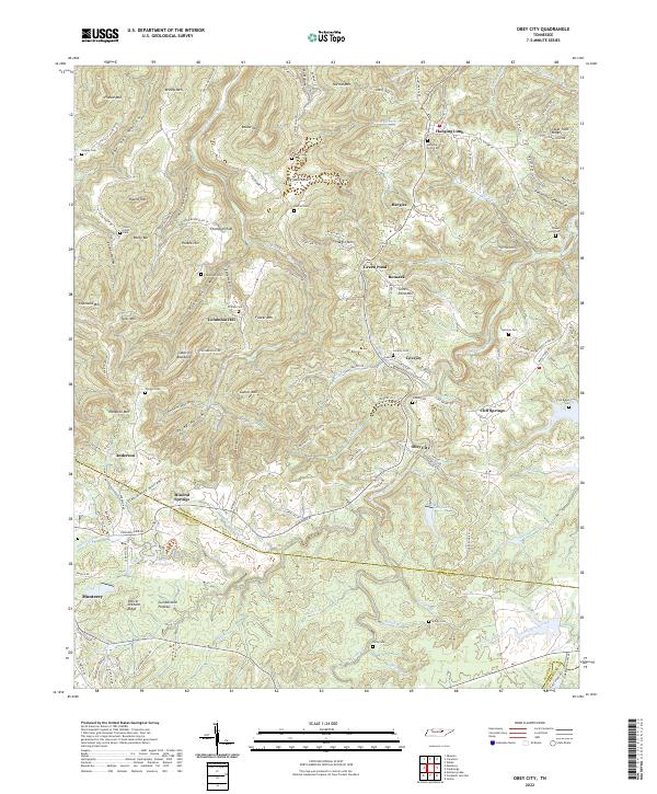 2022 Obey City2022 Print · USGSThe Cumberland Plateau near the Overton and Putnam county line reveals a dense network of rural settlements and family cemeteries. Trace local genealogy and land use across the ridges through Obey City, Hanging Limb, and landmarks like Steel Tram Ridge.
 - 2022 Map of Isoline, 2022 Print
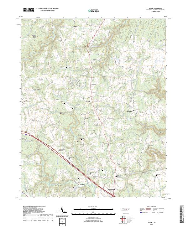 2022 Isoline2022 Print · USGSCumberland County sits atop the plateau in the early 2020s, showing a landscape defined by its high divide and rural family heritage. Researchers can trace ancestral connections through numerous remote burial sites like Terrell Cem, Braddock Cem, and Tolletts Chapel Cem.
 - 2022 Map of Jones Knob, 2022 Print
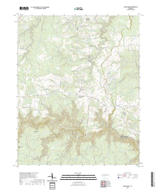 2022 Jones Knob2022 Print · USGSSettlement and terrain on the Cumberland Plateau are captured here as the twenty-first century began. Researchers can trace family history through several burial grounds, such as Durham Cem and Wattenbarger Cem, near the community of Jonesville.
 - 2022 Map of Campbell Junction, 2022 Print
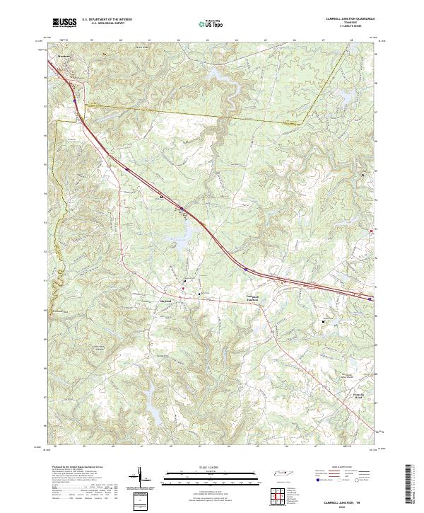 2022 Campbell Junction2022 Print · USGSCumberland County at the headwaters of the Caney Fork reveals a landscape of high plateau ridges and deep hollows. Researchers can trace family roots through several local burial grounds including Welch Cem, Mayland Cem, and the high ground of Stillhouse Rock.
 - 2022 Map of Vandever, 2022 Print
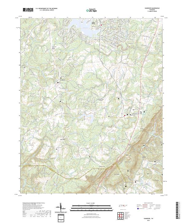 2022 Vandever2022 Print · USGSThe high ridges of the Cumberland Plateau in the 2020s remain defined by family-named landmarks and the geologic Tennessee Valley Divide. Genealogists can trace deep roots through numerous burial sites like Musick Cem and New Era Cem or the rural settlements of Vandever and Big Lick.
 - 2022 Map of Monterey Lake, 2022 Print
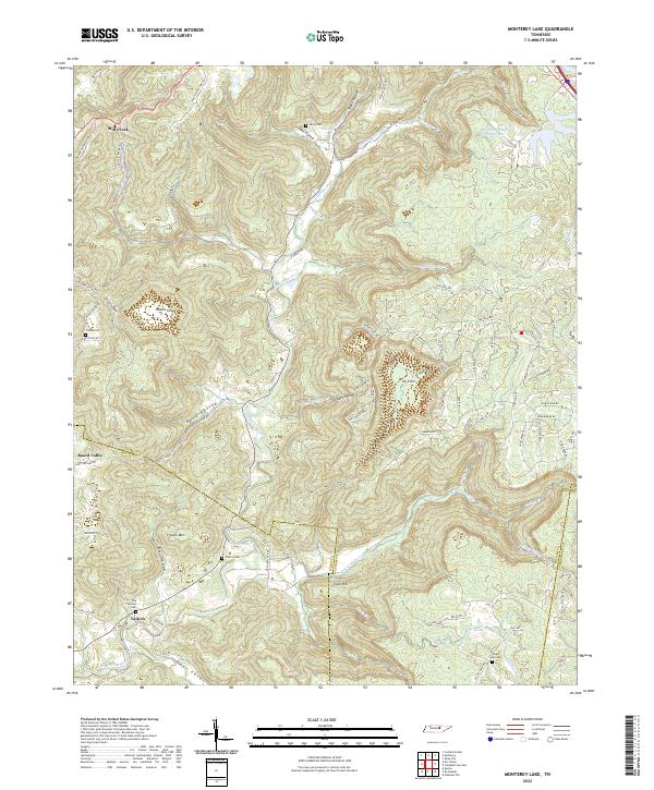 2022 Monterey Lake2022 Print · USGSUpper Cumberland heritage is preserved in this modern look at the rugged Putnam and White County borders. Researchers can locate ancestral landmarks like Henry Cem and France Cem along the winding Calfkiller River and its many tributary coves.
 - 2023 Map of Crossville, 2023 Print
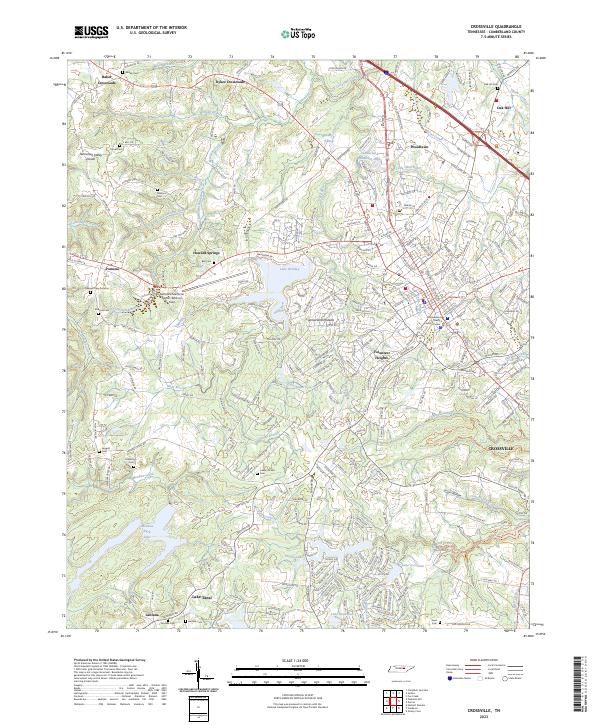 2023 Crossville2023 Print · USGSCumberland County’s high plateau country is documented here in recent years as the city of Crossville expands toward the Tennessee Valley Divide. Researchers can locate numerous family burial grounds like Lowery Stand Cem and Baisley Cem, or trace the waterfronts of Lake Tansi and Meadow Park Lake.
End of results
Showing maps 1-23 of 23
Top cities of Cumberland County
- Crossville historical maps
- Fairfield Glade historical maps
- Crab Orchard historical maps
- Pleasant Hill historical maps
Frequently asked questions
- What are the different types of historical maps available for Cumberland County?
- What is the oldest map of Cumberland County?
- Where can I purchase historical maps of Cumberland County for my home or office?
- Where can I download high-res historical maps of Cumberland County?
- Are there historical topographic maps available for Cumberland County?
- Is there historical aerial imagery available for Cumberland County?
- Where are historical maps of Cumberland County sourced from?