2010s Maps of Haywood County, Tennessee
Explore 64 historic maps of Haywood County from the 2010s. These maps offer a rare glimpse into what life looked like during the 2010s — showing old roads, neighborhoods, homes, and landmarks that have changed or disappeared over time.
Whether you're researching your family's past, planning a metal detecting trip, or studying how Haywood County's landscape evolved across the 2010s, these high-resolution maps are a powerful tool for exploring the history of this region.
- Focus on a specific era: All maps on this page are from the 2010s, giving you a focused view of this time period.
- See what’s changed: Compare century-old streets, trails, and buildings to today's modern landscape using overlays and satellite layers.
- Research with precision: Use these maps for genealogy, historical research, land use analysis, or educational projects.
- View, download, or print: Maps are fully viewable online in high resolution, and can be downloaded or printed for your own records.
Start exploring Haywood County's history through authentic maps from the 2010s. This is your window into the past.
Haywood County, TN maps
(64)- 2010 Map of Durhamville, 2010 Print
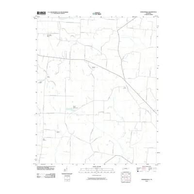 2010 Durhamville2010 Print · USGSHaywood County is shown in the early twenty-first century as a landscape of agricultural roads and quiet creek bottoms. Researchers can locate family landmarks like Spring Hill Cemetery or trace the waters of Lagoon Creek and Doris Irvin Lake.
 - 2010 Map of Bells, 2010 Print
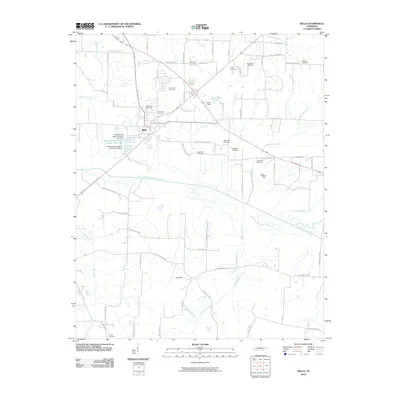 2010 Bells2010 Print · USGSCrockett County at the start of the 2010s shows a landscape deeply rooted in its family history and river-bottom geography. Genealogists can trace dozens of local burial sites like Bellevue Cemetery and Powell Cemetery along the banks of the South Fork Forked Deer River.
 - 2010 Map of Brownsville, 2010 Print
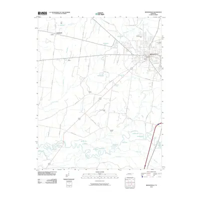 2010 Brownsville2010 Print · USGSHaywood County’s river-bottom landscapes and town centers are captured here at the start of the 2010s. Researchers can trace family history through sites like Oakwood Cemetery and Israel Cemetery or locate the old Cuthbert Switch.
 - 2010 Map of Gift, 2010 Print
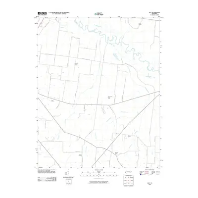 2010 Gift2010 Print · USGSCovington and the Hatchie River bottomlands are captured here in the early twenty-first century as a landscape of rural tradition and modern utility. Genealogists can locate family landmarks like Marrows Cemetery and Sharps Cemetery or trace the winding course of Richland Creek.
 - 2010 Map of Sunnyhill, 2010 Print
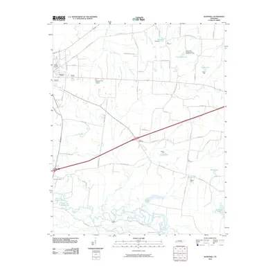 2010 Sunnyhill2010 Print · USGSHaywood County, Tennessee, at the dawn of the 21st century reveals a landscape defined by the winding Hatchie River and traditional rural settlements. Genealogists can locate family landmarks like Rosenwald Cemetery, Saint Paul Cemetery, and Powell Camp.
 - 2010 Map of Hillville, 2010 Print
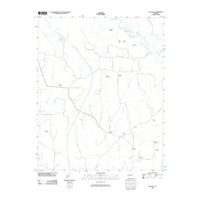 2010 Hillville2010 Print · USGSThis Tennessee river valley landscape was documented at a time when family-named roads and rural burial grounds remained the primary landmarks of the countryside. Genealogists can trace family footprints through Harmony Cemetery, Sammons Cemetery, and McGee Hardister Rd.
 - 2010 Map of Maury City, 2010 Print
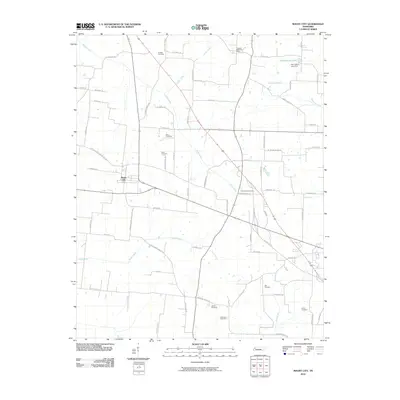 2010 Maury City2010 Print · USGSMaury City and the surrounding West Tennessee farmlands are shown here at the start of the twenty-first century. Researchers can trace family history through numerous rural burial sites like Kail Cemetery and Liberty Cemetery, or locate the Crockett Mills Post Office.
 - 2010 Map of Jones, 2010 Print
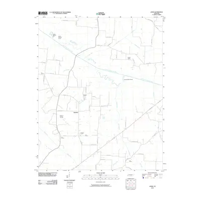 2010 Jones2010 Print · USGSHaywood County is shown in this 2010 survey as a landscape of rural river bends and well-preserved family burial grounds. Researchers can find precise locations for Bradford and Thornton Airport, while tracing lineages at Tabernacle Cemetery or Cobb Cemetery.
 - 2010 Map of Dancyville, 2010 Print
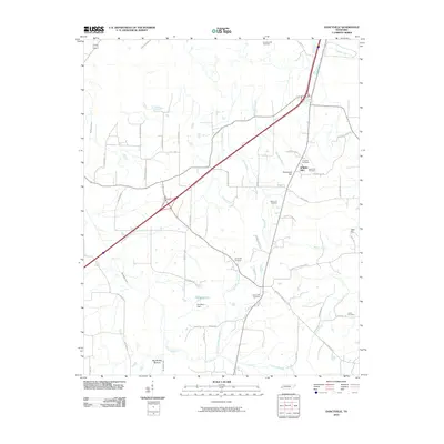 2010 Dancyville2010 Print · USGSHaywood County is shown in detail during the early 21st century, highlighting its rural character and extensive road network. Genealogists can trace family footprints through numerous sites like Dancyville Cemetery, Spring Hill Cemetery, and the curiously named Scratchunder Cemetery.
 - 2010 Map of Turnpike, 2010 Print
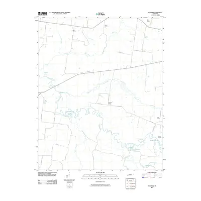 2010 Turnpike2010 Print · USGSThe Hatchie River bottomlands in Lauderdale County appear in detail during the early twenty-first century, showing a landscape defined by winding waterways and rural homesteads. Genealogists can locate family burial sites like Saint Peters Cemetery and Walker Cemetery or trace the old routes of Turnpike and Bono Ferry Rd.
 - 2010 Map of Gates, 2010 Print
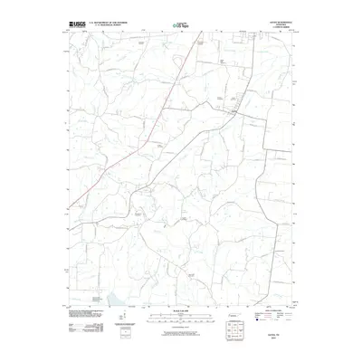 2010 Gates2010 Print · USGSLauderdale County at the start of the 21st century reflects a landscape of quiet rural endurance and family history. Researchers can locate numerous family burial grounds including Gates Cemetery, Woodville Cemetery, and Eureka Cemetery along the tributaries of Halls Creek.
 - 2010 Map of Stanton, 2010 Print
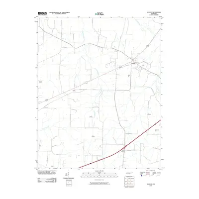 2010 Stanton2010 Print · USGSStanton and the surrounding Haywood County countryside are captured here in the early twenty-first century as a landscape defined by creeks and family heritage. Genealogists can trace numerous local burial sites including Collier Cemeteries, Hebron Cemetery, and Wesley Cemetery.
 - 2010 Map of Tibbs, 2010 Print
 2010 Tibbs2010 Print · USGSHaywood County is shown as a patchwork of small-scale water management and rural family landmarks in the early twenty-first century. Genealogists can locate Shaws Chapel Cemetery or trace properties near Melton Lake and Eubanks Lake.
 - 2010 Map of Denmark, 2010 Print
 2010 Denmark2010 Print · USGSHaywood County is documented here in the early twenty-first century, showcasing a rural Tennessee landscape defined by small cemeteries and winding creek branches. Researchers can trace ancestral lands through numerous legacy sites such as Norvell Cemetery, Currie Cemetery, and Tyson Lake.
 - 2010 Map of Chestnut Bluff, 2010 Print
 2010 Chestnut Bluff2010 Print · USGSCrockett County's river-bottom landscape is captured here in the early twenty-first century as agricultural roads connect generations of family land. Genealogists can trace local heritage through numerous burial sites like Carter Cemetery and Poston Cemetery near the South Fork Forked Deer River.
 - 2010 Map of Mercer, 2010 Print
 2010 Mercer2010 Print · USGSMadison County's river lowlands are captured here in the early twenty-first century as the Hatchie River meanders through a landscape of wetlands and old ferry sites. Researchers can trace several family-named landmarks and historic burial grounds, including Vison Cemetery, Simmons Cemetery, and McCartys Landing.
 - 2013 Map of Hillville, 2013 Print
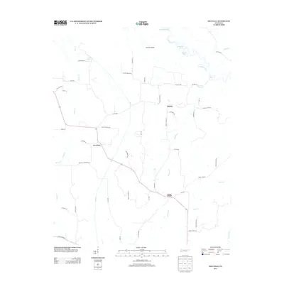 2013 Hillville2013 Print · USGSHardeman County, Tennessee, is captured here in the early twenty-first century as a landscape of river bottoms and rural crossroads. Local historians can trace family landholdings along Thomas Powell Rd and Sam Garrett Rd or locate the settlements of Hillville and Cedar Chapel.
 - 2013 Map of Turnpike, 2013 Print
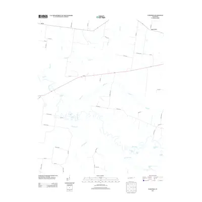 2013 Turnpike2013 Print · USGSThe bottomlands of the Hatchie River and the small rural crossroads of Turnpike are captured here in the early twenty-first century. Genealogists can trace family-named routes like Jess Rice Rd and explore river features like Horseshoe Lake.
 - 2013 Map of Maury City, 2013 Print
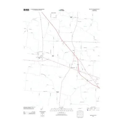 2013 Maury City2013 Print · USGSCrockett County's rural character and small-town junctions are preserved in this early twenty-first-century survey. Genealogists and researchers can trace family landmarks and established crossroads like Johnsons Grove, Brims Corner, and Crockett Mills.
 - 2013 Map of Gates, 2013 Print
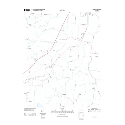 2013 Gates2013 Print · USGSWest Tennessee rural life is documented here in the early twenty-first century, showing the enduring hamlets of Lauderdale and Dyer counties. Genealogists can trace family connections through landmarks like Crossroads Cemetery Rd, Aunt Lillie Spur, and the settlement of Nankipoo.
 - 2013 Map of Mercer, 2013 Print
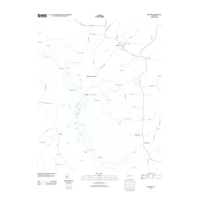 2013 Mercer2013 Print · USGSMadison County's river-fed lowlands are captured here in the early twenty-first century, showing a landscape shaped by the Hatchie River. Trace the connections between local hamlets and landmarks like Mercer, Old Ferry Landing, and Sturdivant Crossing.
 - 2013 Map of Dancyville, 2013 Print
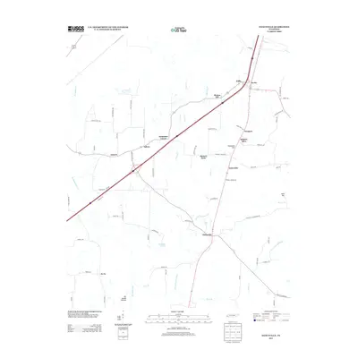 2013 Dancyville2013 Print · USGSThe rural communities of Haywood County are well-documented in the early twenty-first century, showing a landscape defined by small settlements and winding creek bottoms. Genealogists can trace local family landmarks and homesteads near Dancyville, Zu Zu, and the curiously named Ko Ko.
 - 2013 Map of Jones, 2013 Print
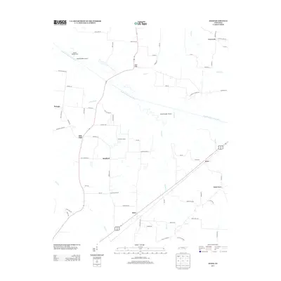 2013 Jones2013 Print · USGSWest Tennessee agricultural life and river bottomlands are documented here in the early twenty-first century. Researchers can trace family-named landmarks and rural settlements like Owl City, Jones, and the areas around Wortham Cemetery Rd.
 - 2013 Map of Chestnut Bluff, 2013 Print
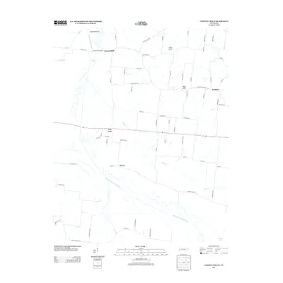 2013 Chestnut Bluff2013 Print · USGSCrockett County in the early 2010s reveals a quiet agricultural landscape defined by the winding South Fork Forked Deer River. Researchers can trace historic local communities like Frog Jump, Chestnut Bluff, and Broadview along with landmarks like Bettis Lake.
 - 2013 Map of Stanton, 2013 Print
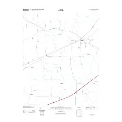 2013 Stanton2013 Print · USGSHaywood County is seen in the early twenty-first century as a network of rural crossroads and agricultural corridors. Researchers can trace family history through locations like Stanton, Meux Corner, and the namesake Greenleaf Cemetery Rd.
Showing maps 1-25 of 64
Top cities of Haywood County
Frequently asked questions
- What are the different types of historical maps available for Haywood County?
- What is the oldest map of Haywood County?
- Where can I purchase historical maps of Haywood County for my home or office?
- Where can I download high-res historical maps of Haywood County?
- Are there historical topographic maps available for Haywood County?
- Is there historical aerial imagery available for Haywood County?
- Where are historical maps of Haywood County sourced from?