2020s Maps of Haywood County, Tennessee
Explore 16 historic maps of Haywood County from the 2020s. These maps offer a rare glimpse into what life looked like during the 2020s — showing old roads, neighborhoods, homes, and landmarks that have changed or disappeared over time.
Whether you're researching your family's past, planning a metal detecting trip, or studying how Haywood County's landscape evolved across the 2020s, these high-resolution maps are a powerful tool for exploring the history of this region.
- Focus on a specific era: All maps on this page are from the 2020s, giving you a focused view of this time period.
- See what’s changed: Compare century-old streets, trails, and buildings to today's modern landscape using overlays and satellite layers.
- Research with precision: Use these maps for genealogy, historical research, land use analysis, or educational projects.
- View, download, or print: Maps are fully viewable online in high resolution, and can be downloaded or printed for your own records.
Start exploring Haywood County's history through authentic maps from the 2020s. This is your window into the past.
Haywood County, TN maps
(16)- 2022 Map of Maury City, 2022 Print
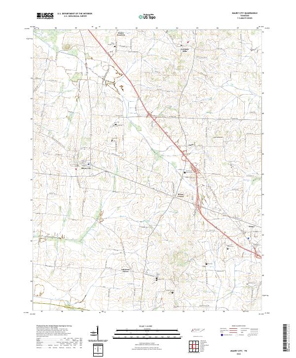 2022 Maury City2022 Print · USGSCrockett County's rural heartland is preserved here in the early twenty-first century, showing the small settlements and crossroads that anchor this West Tennessee landscape. Researchers can trace family history through numerous burial grounds like Perry-Bridget Cem and Nunn Cem or locate old community centers like Brims Corner.
 - 2022 Map of Tibbs, 2022 Print
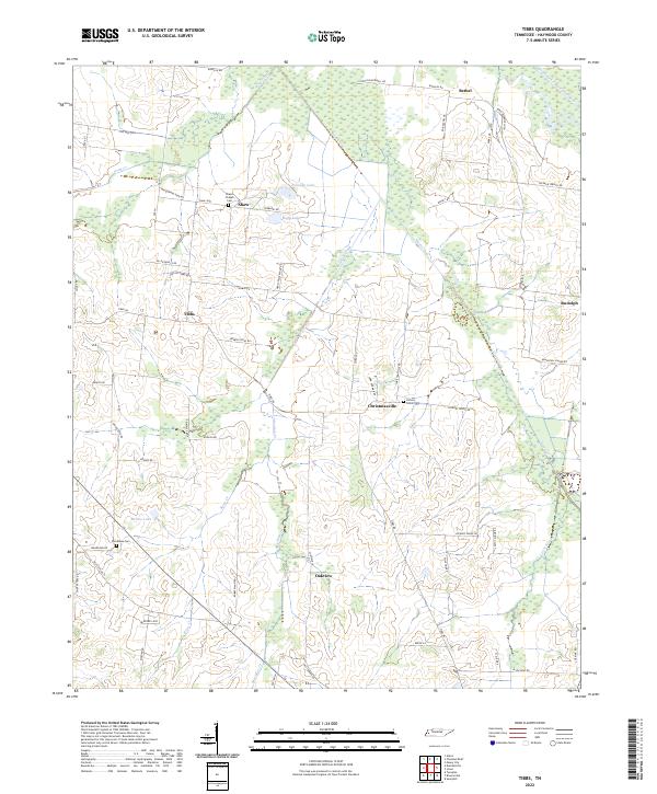 2022 Tibbs2022 Print · USGSHaywood County is shown in modern detail, capturing a rural landscape of family-named roads and small settlements. Researchers can locate ancestral sites like Shaws Chapel Cem, the community of Christmasville, or family landmarks along Allen Qualls Rd.
 - 2022 Map of Turnpike, 2022 Print
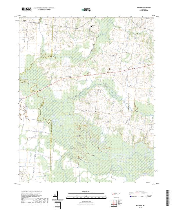 2022 Turnpike2022 Print · USGSThe Hatchie River floodplain in West Tennessee is captured here in recent years, showing a landscape shaped by shifting waters. Genealogists can locate several rural burial sites, including Estes Cemetery, Outlaw Cemetery, and the Turnpike Family Memorial Garden.
 - 2022 Map of Chestnut Bluff, 2022 Print
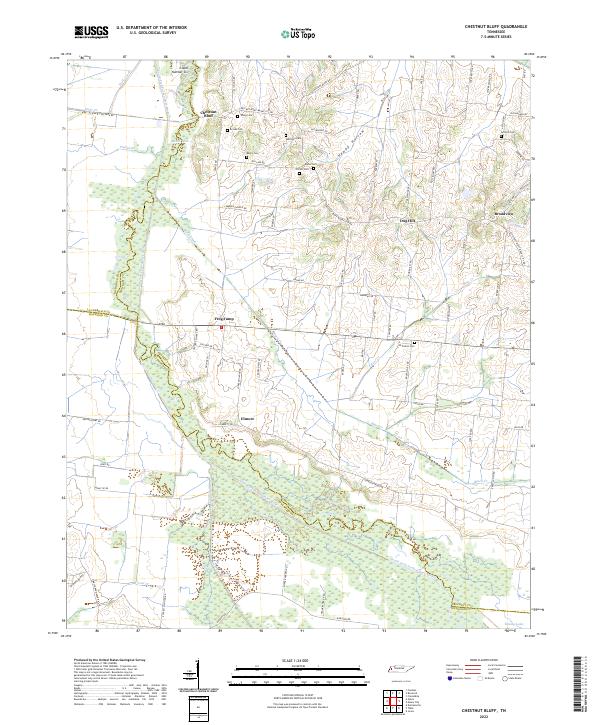 2022 Chestnut Bluff2022 Print · USGSCrockett County's rural riverbanks and small crossroads come into focus in this contemporary survey of the West Tennessee landscape. Researchers can trace family history through a high concentration of burial sites, including Brooks Cem, Antioch Cem, and Glenn Cem.
 - 2022 Map of Bells, 2022 Print
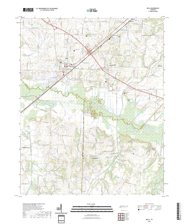 2022 Bells2022 Print · USGSCrockett County's agricultural heartland is documented here in the early twenty-first century, centered on the historic rail town of Bells. Researchers can trace ancestral locations and local landmarks from Fruitvale to Providence, including the Walnut Hill Baptist Church Cem and Lewis Lake.
 - 2022 Map of Mercer, 2022 Print
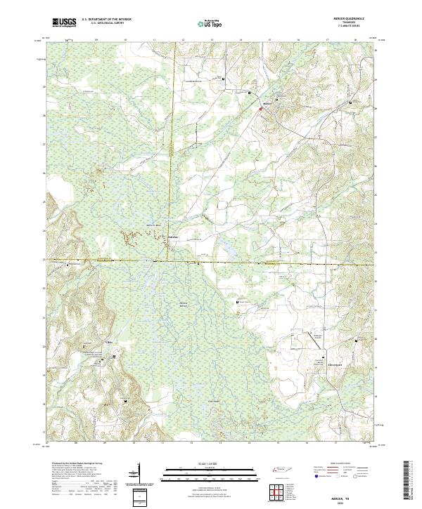 2022 Mercer2022 Print · USGSWest Tennessee's river bottoms and rural crossroads are preserved here in the early twenty-first century. Family historians can trace numerous burial grounds and settlements like Vildo, Hatchie, and the Johnson Chapel Christian Methodist Episcopal Church Cem.
 - 2022 Map of Stanton, 2022 Print
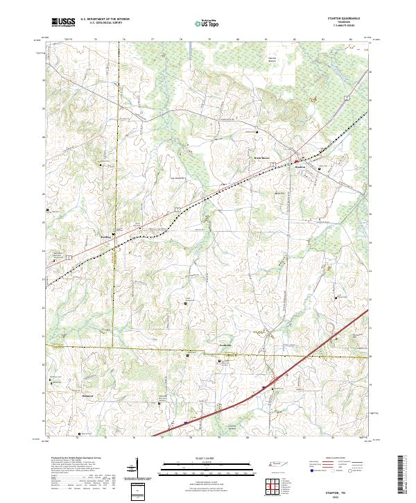 2022 Stanton2022 Print · USGSWest Tennessee’s agricultural and wetland borders are revealed here in the modern era, centered on the historic rail town of Stanton. Researchers can trace dozens of family and community sites, including Chote Cem, Wesley Cem, and Fredonia Memorial Gardens.
 - 2022 Map of Gift, 2022 Print
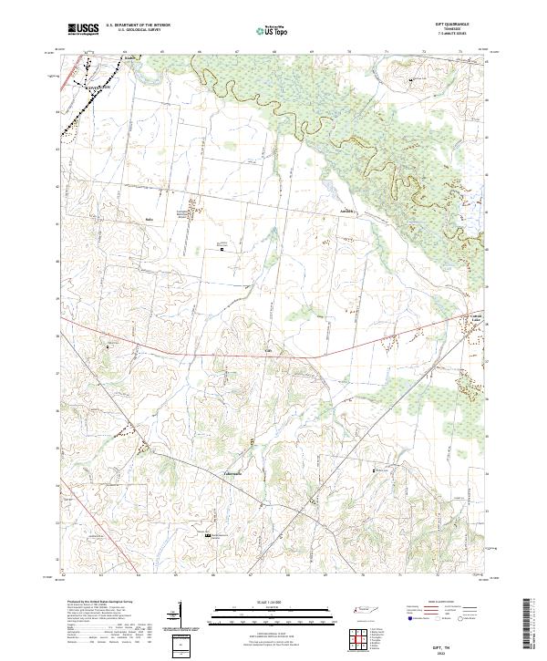 2022 Gift2022 Print · USGSTipton County at the start of the 2020s remains defined by the meandering Hatchie River and its rural settlements. Researchers can trace family history through local landmarks like Sharpe Cem, Plummers Grove Cem, and the community of Tabernacle.
 - 2022 Map of Denmark, 2022 Print
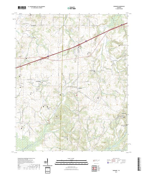 2022 Denmark2022 Print · USGSMadison and Haywood counties are captured here in the early twenty-first century, showing a rural landscape defined by historic church congregations and family farms. Trace local roots at Denmark, Woodland, or family landmarks like the Walker Family Cem and Chapman Family Cem.
 - 2022 Map of Hillville, 2022 Print
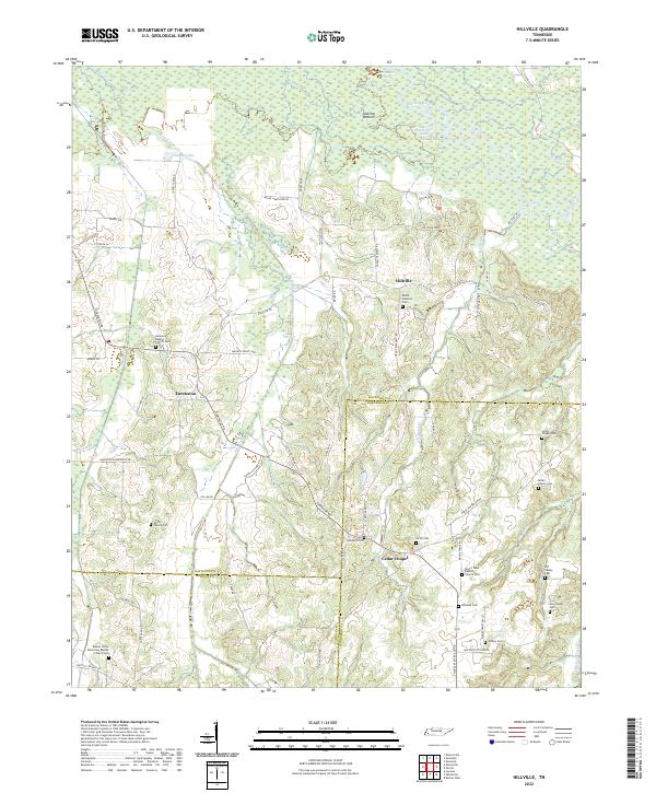 2022 Hillville2022 Print · USGSWest Tennessee's rural landscape at the intersection of Haywood and Hardeman counties reveals a network of historic river bottoms and family settlements. Researchers can trace genealogical roots through numerous sites like Simon Chapel Cem, Eurekaton, and the Hatchie River floodplains.
 - 2022 Map of Gates, 2022 Print
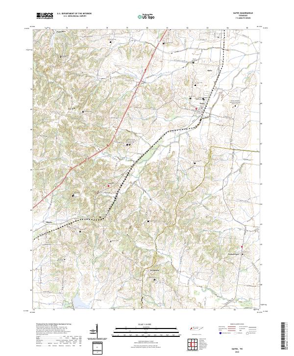 2022 Gates2022 Print · USGSLauderdale and Haywood counties are revealed in this modern era as a network of traditional Tennessee farm communities and family landmarks. Genealogists can trace decades of local history through sites like the Willette Family Cem, Crossroads Cem, and Woodville Cem.
 - 2022 Map of Sunnyhill, 2022 Print
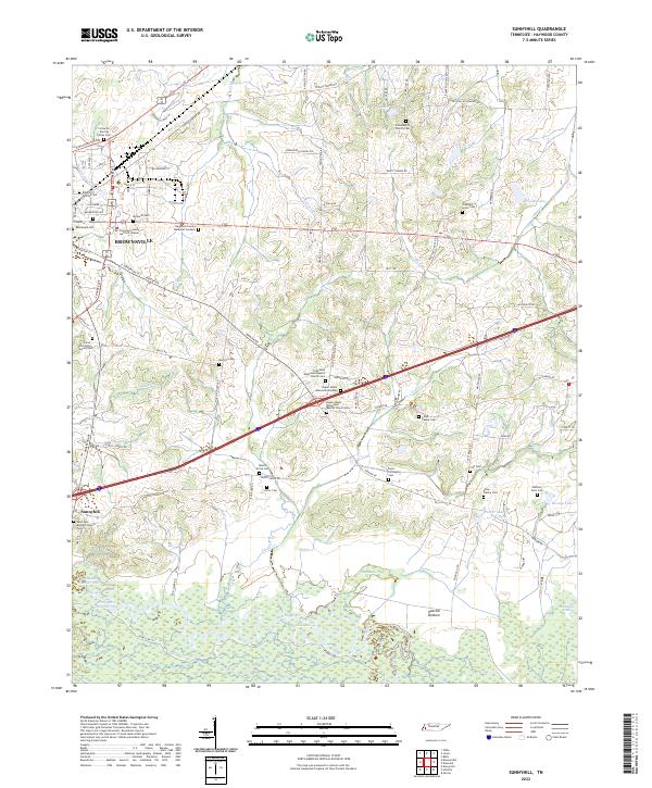 2022 Sunnyhill2022 Print · USGSHaywood County during the early 2020s reveals a landscape where the urban outskirts of BROWNSVILLE give way to the wetlands of the Hatchie River. Genealogists can trace a remarkable concentration of family and church burial sites, from the Anthony Farm Cem to the Upper Salem Missionary Baptist Church Cem.
 - 2022 Map of Durhamville, 2022 Print
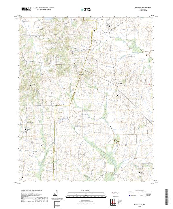 2022 Durhamville2022 Print · USGSWest Tennessee’s rural landscape comes into focus in this contemporary survey of the Lauderdale and Haywood County line. Local historians can trace family roots through numerous burial grounds like Trinity Cem and centers of community life including the Durhamville Baptist Church.
 - 2022 Map of Brownsville, 2022 Print
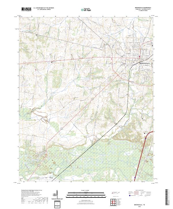 2022 Brownsville2022 Print · USGSBrownsville and the surrounding Haywood County landscape appear in the early 2020s, showing the town's growth toward the Hatchie River wetlands. Family historians can locate numerous burial sites like Tallaferro Cem and Adas Israel Cem near the river's edge at Moon Lake.
 - 2022 Map of Jones, 2022 Print
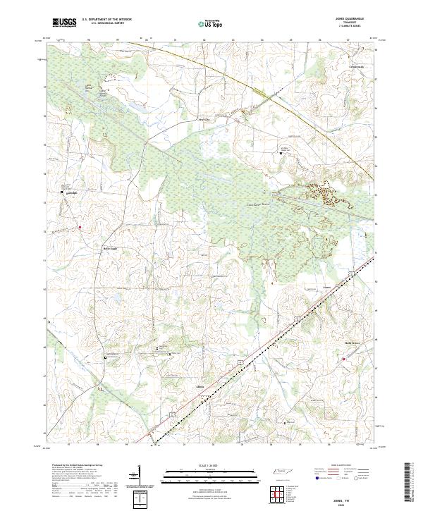 2022 Jones2022 Print · USGSHaywood and Crockett counties are documented here in the early 2020s, showing a rural landscape shaped by the South Fork Forked Deer River. Researchers can locate numerous burial sites and small communities, from Owl City and Belle Eagle to the Zion United Methodist Church Cem.
 - 2022 Map of Dancyville, 2022 Print
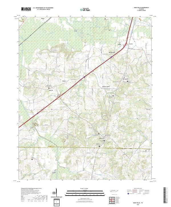 2022 Dancyville2022 Print · USGSDancyville and the surrounding wetlands of Haywood and Fayette Counties appear here in the early twenty-first century. Family researchers can trace dozens of historic sites, from the Dancyville Christian Methodist Episcopal Cem to the remote Scratchunder Cem near Hatchie Bottom.
End of results
Showing maps 1-16 of 16
Top cities of Haywood County
Frequently asked questions
- What are the different types of historical maps available for Haywood County?
- What is the oldest map of Haywood County?
- Where can I purchase historical maps of Haywood County for my home or office?
- Where can I download high-res historical maps of Haywood County?
- Are there historical topographic maps available for Haywood County?
- Is there historical aerial imagery available for Haywood County?
- Where are historical maps of Haywood County sourced from?