2000s (21st Century) Maps of Humphreys County, Tennessee
Explore 85 historic maps of Humphreys County from the 2000s (21st Century). These maps offer a rare glimpse into what life looked like during the 2000s — showing old roads, neighborhoods, homes, and landmarks that have changed or disappeared over time.
Whether you're researching your family's past, planning a metal detecting trip, or studying how Humphreys County's landscape evolved across the 2000s, these high-resolution maps are a powerful tool for exploring the history of this region.
- Focus on a specific era: All maps on this page are from the 2000s, giving you a focused view of this time period.
- See what’s changed: Compare century-old streets, trails, and buildings to today's modern landscape using overlays and satellite layers.
- Research with precision: Use these maps for genealogy, historical research, land use analysis, or educational projects.
- View, download, or print: Maps are fully viewable online in high resolution, and can be downloaded or printed for your own records.
Start exploring Humphreys County's history through authentic maps from the 2000s. This is your window into the past.
Humphreys County, TN maps
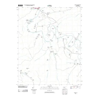
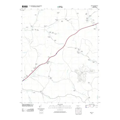
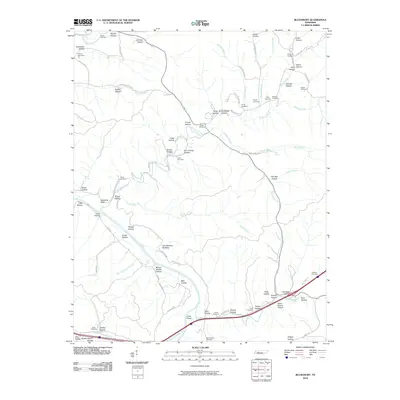
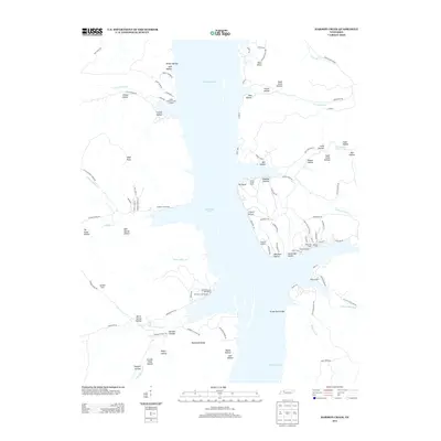
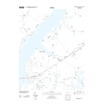
(85)- 2010 Map of Rockport, 2010 Print
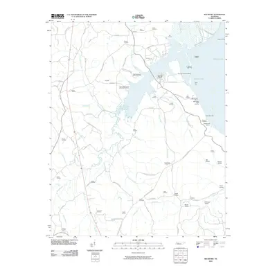 2010 Rockport2010 Print · USGSCovers Humphreys County, including Camden, New Johnsonville, and other nearby areas
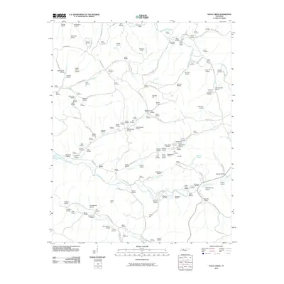
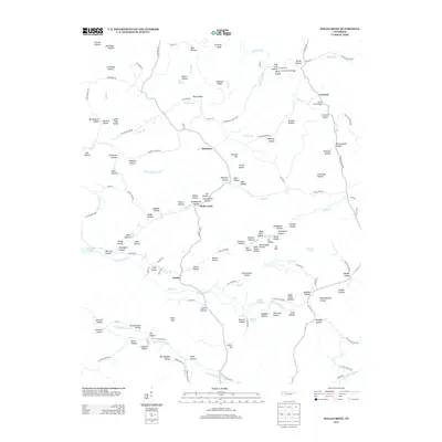
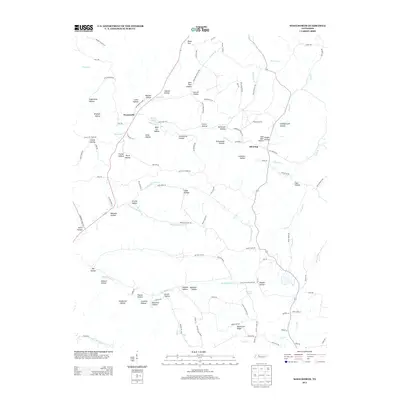
 - 2010 Map of Harmon Creek, 2010 Print
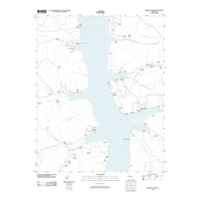 2010 Harmon Creek2010 Print · USGSCovers Humphreys County, including Camden, Whiteoak Creek Subdivision, and other nearby areas
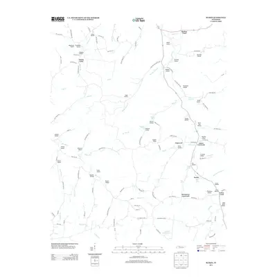
 - 2010 Map of McEwen, 2010 Print
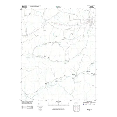 2010 McEwen2010 Print · USGSCovers Humphreys County, including Waverly, Bethpage, and other nearby areas
 - 2010 Map of Johnsonville, 2010 Print
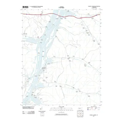
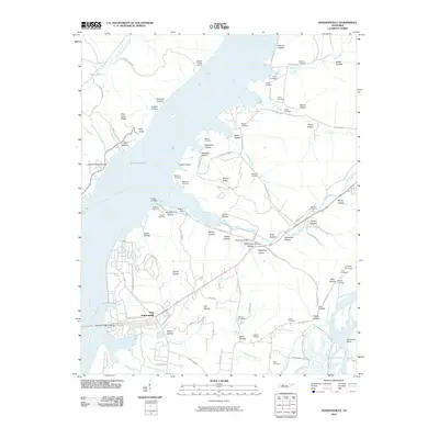 2010 Johnsonville2010 Print · USGSCovers Humphreys County, including Camden, New Johnsonville, and other nearby areas
 - 2010 Map of Waverly, 2010 Print
 2010 Waverly2010 Print · USGSCovers Humphreys County, including Waverly, Pigeon Roost, and other nearby areas
 - 2010 Map of Ruskin, 2010 Print
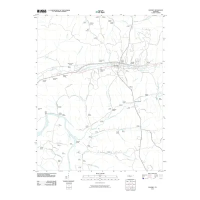
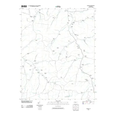 2010 Ruskin2010 Print · USGSCovers Humphreys County, including Spring Valley, Thompsons Crossroads, and other nearby areas
 - 2010 Map of Woolworth, 2010 Print
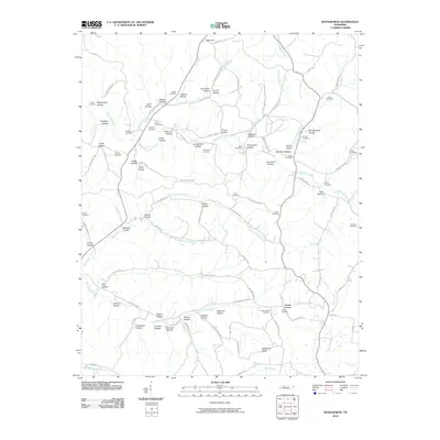 2010 Woolworth2010 Print · USGSCovers Humphreys County, including Silvertop, Woolworth, and other nearby areas
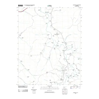
 - 2010 Map of Tennessee City, 2010 Print
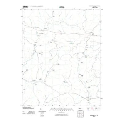 2010 Tennessee City2010 Print · USGSCovers Humphreys County, including Jason Chapel, Few Chapel, and other nearby areas
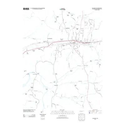
 - 2010 Map of Camden, 2010 Print
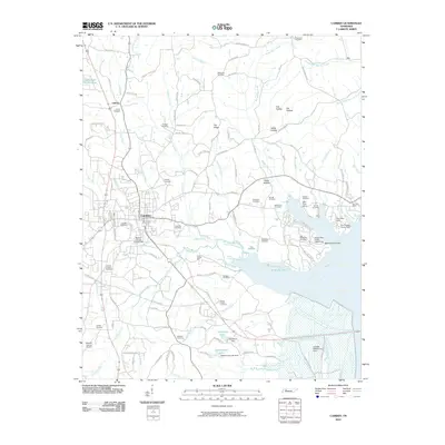 2010 Camden2010 Print · USGSCovers Humphreys County, including Camden, New Johnsonville, and other nearby areas
 - 2010 Map of Halls Creek, 2010 Print
 2010 Halls Creek2010 Print · USGSCovers Humphreys County, including Waverly, Belleview, and other nearby areas
 - 2010 Map of Lobelville, 2010 Print
 2010 Lobelville2010 Print · USGSCovers Humphreys County, including Lobelville, Perry County, and other nearby areas
 - 2010 Map of Coble, 2010 Print
 2010 Coble2010 Print · USGSCovers Humphreys County, including Coble, Only, and other nearby areas
 - 2010 Map of Spot, 2010 Print
 2010 Spot2010 Print · USGSCovers Humphreys County, including Spot, Whitehouse, and other nearby areas
 - 2010 Map of Daniels Landing, 2010 Print
 2010 Daniels Landing2010 Print · USGSCovers Humphreys County, including Blue Sky, Crooked Creek, and other nearby areas
 - 2010 Map of Hurricane Mills, 2010 Print
 2010 Hurricane Mills2010 Print · USGSCovers Humphreys County, including Bakerville, Hurricane Mills, and other nearby areas
 - 2010 Map of Hustburg, 2010 Print
 2010 Hustburg2010 Print · USGSCovers Humphreys County, including New Johnsonville, Polecat, and other nearby areas
 - 2010 Map of Bucksnort, 2010 Print
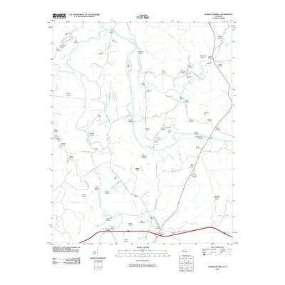
 2010 Bucksnort2010 Print · USGSCovers Humphreys County, including Bold Spring, Water Valley, and other nearby areas
 - 2013 Map of Tennessee City, 2013 Print
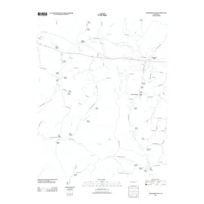 2013 Tennessee City2013 Print · USGSCovers Humphreys County, including Jason Chapel, Few Chapel, and other nearby areas
 - 2013 Map of McEwen, 2013 Print
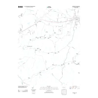 2013 McEwen2013 Print · USGSCovers Humphreys County, including Waverly, Bethpage, and other nearby areas
 - 2013 Map of Halls Creek, 2013 Print
 2013 Halls Creek2013 Print · USGSCovers Humphreys County, including Waverly, Belleview, and other nearby areas
 - 2013 Map of Harmon Creek, 2013 Print
 2013 Harmon Creek2013 Print · USGSCovers Humphreys County, including Camden, Whiteoak Creek Subdivision, and other nearby areas
 - 2013 Map of Ruskin, 2013 Print
 2013 Ruskin2013 Print · USGSCovers Humphreys County, including Spring Valley, Thompsons Crossroads, and other nearby areas
 - 2013 Map of Woolworth, 2013 Print
 2013 Woolworth2013 Print · USGSCovers Humphreys County, including Silvertop, Woolworth, and other nearby areas
 - 2013 Map of Waverly, 2013 Print
 2013 Waverly2013 Print · USGSCovers Humphreys County, including Waverly, Pigeon Roost, and other nearby areas
 - 2013 Map of Johnsonville, 2013 Print
 2013 Johnsonville2013 Print · USGSCovers Humphreys County, including Camden, New Johnsonville, and other nearby areas
Showing maps 1-25 of 85
Top cities of Humphreys County
Frequently asked questions
- What are the different types of historical maps available for Humphreys County?
- What is the oldest map of Humphreys County?
- Where can I purchase historical maps of Humphreys County for my home or office?
- Where can I download high-res historical maps of Humphreys County?
- Are there historical topographic maps available for Humphreys County?
- Is there historical aerial imagery available for Humphreys County?
- Where are historical maps of Humphreys County sourced from?