2010s Maps of Humphreys County, Tennessee
Explore 68 historic maps of Humphreys County from the 2010s. These maps offer a rare glimpse into what life looked like during the 2010s — showing old roads, neighborhoods, homes, and landmarks that have changed or disappeared over time.
Whether you're researching your family's past, planning a metal detecting trip, or studying how Humphreys County's landscape evolved across the 2010s, these high-resolution maps are a powerful tool for exploring the history of this region.
- Focus on a specific era: All maps on this page are from the 2010s, giving you a focused view of this time period.
- See what’s changed: Compare century-old streets, trails, and buildings to today's modern landscape using overlays and satellite layers.
- Research with precision: Use these maps for genealogy, historical research, land use analysis, or educational projects.
- View, download, or print: Maps are fully viewable online in high resolution, and can be downloaded or printed for your own records.
Start exploring Humphreys County's history through authentic maps from the 2010s. This is your window into the past.
Humphreys County, TN maps
(68)- 2010 Map of Rockport, 2010 Print
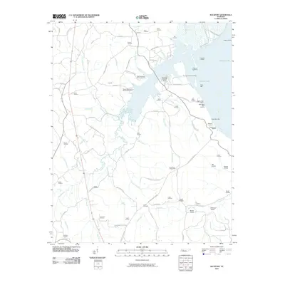 2010 Rockport2010 Print · USGSBenton County's river-front landscape is shown here at the turn of the millennium, centered on the inlets of Kentucky Lake. Researchers can trace old family burial grounds like Caney Fork Cemetery and discover landmarks such as the Russell Field Lookout Tower or Trotters Landing.
 - 2010 Map of Harmon Creek, 2010 Print
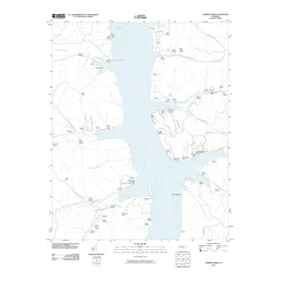 2010 Harmon Creek2010 Print · USGSBenton County river life at the start of the 21st century centers on the expansive Kentucky Lake shoreline and its many sheltered coves. Researchers can locate numerous family burial grounds and landings, from Union Chapel Cemetery and Keel Cemetery to Clydeton Landing.
 - 2010 Map of McEwen, 2010 Print
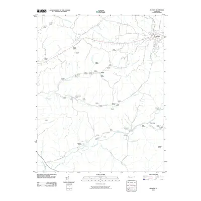 2010 McEwen2010 Print · USGSThe plateau and hollows of middle Tennessee are captured here in the decade following the turn of the millennium. Local researchers can locate family burial sites like Anderson Cemetery and Bethel Cemetery or trace the early paths of Old Stage Rd.
 - 2010 Map of Johnsonville, 2010 Print
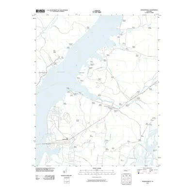 2010 Johnsonville2010 Print · USGSThe Tennessee River valley at Kentucky Lake is seen here in the early twenty-first century, anchored by the settlement of New Johnsonville. Genealogists and local historians can locate numerous family burial sites, including Crockett Cemetery and Napier Cemetery, alongside landmarks like the Denver Post Office.
 - 2010 Map of Waverly, 2010 Print
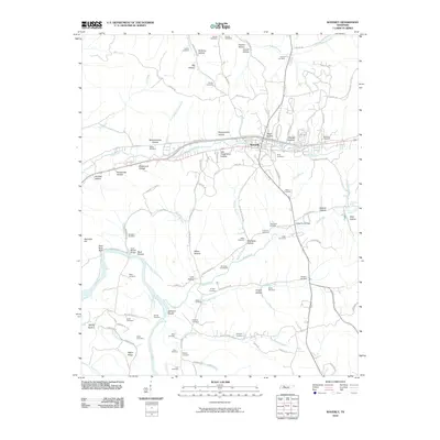 2010 Waverly2010 Print · USGSThe Humphreys County seat of Waverly and its rural surroundings are captured here in the early twenty-first century. Genealogists can trace family burial sites like Burnham Cemeteries and McKelvy Cemetery or locate landmarks such as Johnson Shoals on the Duck River.
 - 2010 Map of Ruskin, 2010 Print
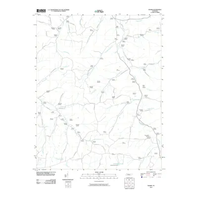 2010 Ruskin2010 Print · USGSThis Tennessee quadrangle in the early twenty-first century reveals a deeply etched landscape of hollows and family-named cemeteries. Genealogists and local historians can trace legacy sites like Bethany Cemetery, Sawmill Branch Dam, and Biffle Hollow.
 - 2010 Map of Woolworth, 2010 Print
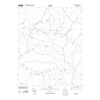 2010 Woolworth2010 Print · USGSHouston County at the start of the twenty-first century reveals a landscape shaped by narrow valleys and family-held land. Genealogists can trace rural homesteads and burial sites like Curtis Chapel Cemetery, Hooper Cemetery, and Knight Cemetery.
 - 2010 Map of Tennessee City, 2010 Print
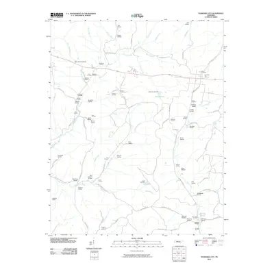 2010 Tennessee City2010 Print · USGSDickson County’s rural landscape is captured here during the first decade of the new millennium, showing a territory defined by deep hollows and family landholdings. Researchers can trace ancestral locations through numerous burial sites like Few Chapel Cemetery or Holland Cemetery while following the winding course of Hurricane Creek.
 - 2010 Map of Camden, 2010 Print
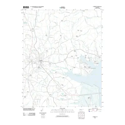 2010 Camden2010 Print · USGSBenton County centers on the town of Camden during the early twenty-first century, just west of the Kentucky Lake shoreline. Genealogists can trace family roots through dozens of local burial sites, including Old Bethlehem Cemetery and Liberty Cemetery.
 - 2010 Map of Halls Creek, 2010 Print
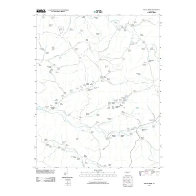 2010 Halls Creek2010 Print · USGSIn the hills of central Tennessee during the early twenty-first century, this landscape is a patchwork of family homesteads and deep hollows. Genealogists can trace decades of local history through sites like Buchanan Cemetery, McKeel Cemetery, and the aviation history of WSM Airport.
 - 2010 Map of Lobelville, 2010 Print
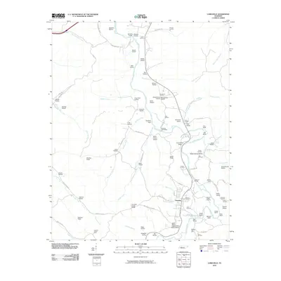 2010 Lobelville2010 Print · USGSLobelville and the Buffalo River valley are documented here in the early twenty-first century. Genealogists can trace family holdings and burial sites like the Dodson Cemeteries, Poole Cemetery, and landmarks such as Standing Rock Bridge.
 - 2010 Map of Coble, 2010 Print
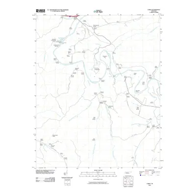 2010 Coble2010 Print · USGSThe Duck River valley of Hickman County comes into focus in the early twenty-first century, showcasing a rural landscape of family cemeteries and river crossings. Researchers can trace ancestral sites like Murphree Cemetery and Gunter Cemetery or locate landmarks such as the Meetinghouse Hollow Only Post Office.
 - 2010 Map of Spot, 2010 Print
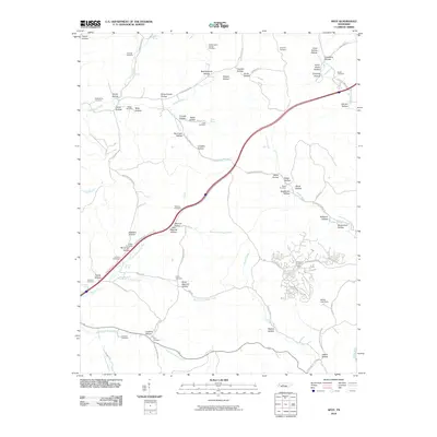 2010 Spot2010 Print · USGSHickman County, Tennessee, is captured here in the early twenty-first century, showing a landscape shaped by the forks of Sugar Creek. Researchers can locate numerous family burial sites such as Spot Cemetery and Tidwell Cemetery, or find landmarks like Pinewood Lookout Tower.
 - 2010 Map of Daniels Landing, 2010 Print
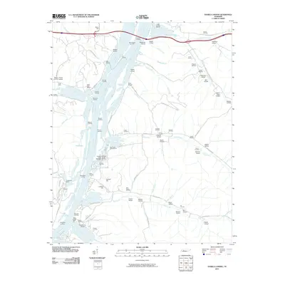 2010 Daniels Landing2010 Print · USGSThe Tennessee River valley in the early twenty-first century reveals a landscape shaped by riverfront landings and deeply etched hollows. Genealogists can trace family heritage through numerous burial sites like Griggs Cemetery and Northern Cemetery or visit Daniels Landing.
 - 2010 Map of Hurricane Mills, 2010 Print
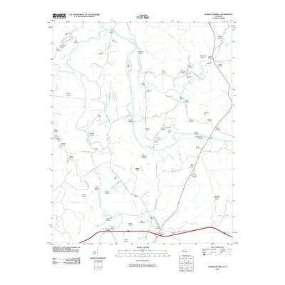 2010 Hurricane Mills2010 Print · USGSIn the Tennessee river valleys during the early twenty-first century, the landscape remains defined by its deep hollows and family cemeteries. Genealogists can locate family plots like Ladd Cemetery and Shannon Cemetery or trace old river crossings at Hite Ford and Link Bridge.
 - 2010 Map of Hustburg, 2010 Print
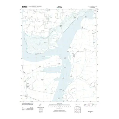 2010 Hustburg2010 Print · USGSThe convergence of the Tennessee and Duck Rivers defines this riverfront landscape at the turn of the twenty-first century. Genealogists and historians can trace numerous family-named landmarks including Byrd Cemetery, Cude Cemetery, and several river access points like McCallie Landing.
 - 2010 Map of Bucksnort, 2010 Print
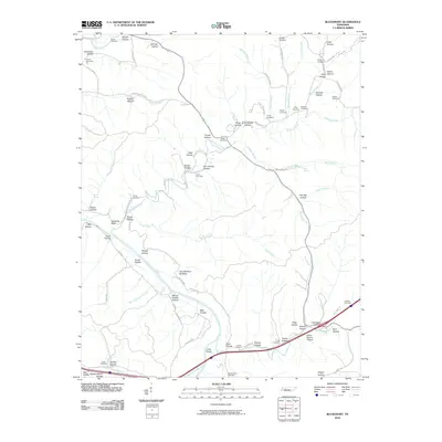 2010 Bucksnort2010 Print · USGSCentral Tennessee's deeply dissected hollows and river valleys are captured here in the early twenty-first century. Genealogists and historians can trace numerous family burial sites and landmarks like Larkin Cemetery, Standing Rock, and the Grandfathers Building.
 - 2013 Map of Tennessee City, 2013 Print
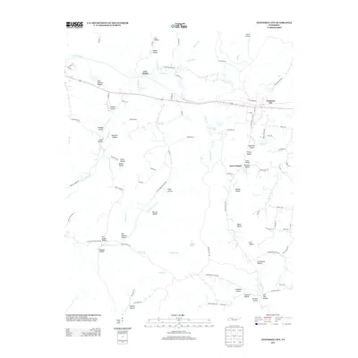 2013 Tennessee City2013 Print · USGSTennessee City and the surrounding Dickson County hollows are captured here during the early twenty-first century. Genealogists can trace family-named landmarks like Ben Holland Hollow, Balthrop Hollow, and settlements such as Jason Chapel.
 - 2013 Map of McEwen, 2013 Print
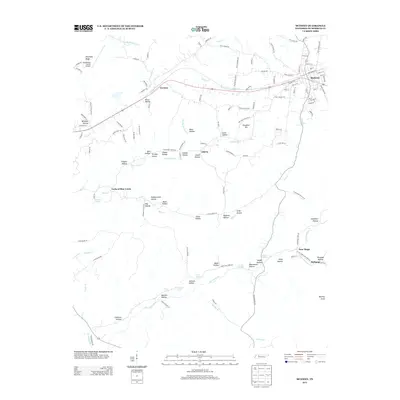 2013 McEwen2013 Print · USGSEastern Humphreys County is documented here in the early twenty-first century, centered on the railroad hub of McEwen. Genealogists can trace family-named terrain and small settlements from Gorman to New Hope, including Stringer Hollow and Simpson Spring.
 - 2013 Map of Halls Creek, 2013 Print
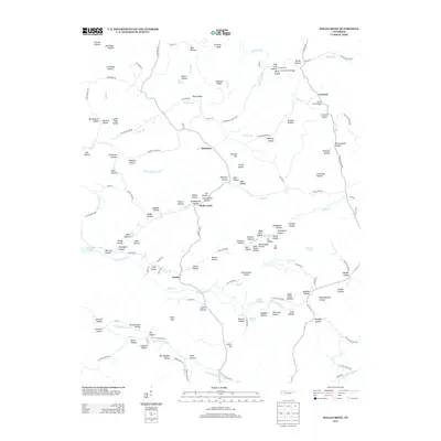 2013 Halls Creek2013 Print · USGSHalls Creek and the rural hollows of Humphreys County are shown in detail during the early twenty-first century. Genealogists and local historians can trace family-named landmarks such as Graveyard Hollow, Schoolhouse Hollow, and the crossings at Grice Ford Bridge.
 - 2013 Map of Harmon Creek, 2013 Print
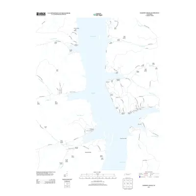 2013 Harmon Creek2013 Print · USGSKentucky Lake and its surrounding hollows are shown in detail during the early twenty-first century. Genealogists and local historians can trace the shoreline's development through sites like Clydeton Landing, Harmon Creek Resort, and Bald Knob.
 - 2013 Map of Ruskin, 2013 Print
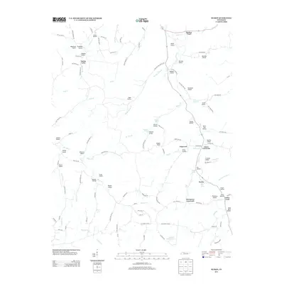 2013 Ruskin2013 Print · USGSHouston County in the early twenty-first century remains a landscape of deep hollows and rural crossroads. Local historians can trace family-named landmarks and small community centers like Ruskin, Marthas Chapel, and Adams Crossroads.
 - 2013 Map of Woolworth, 2013 Print
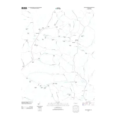 2013 Woolworth2013 Print · USGSHouston County's rural interior comes to life here in the early twenty-first century, revealing a landscape etched with family-named hollows and creek branches. Genealogists can trace local heritage through landmarks like Woolworth, Silvertop, and Curtis Spring.
 - 2013 Map of Waverly, 2013 Print
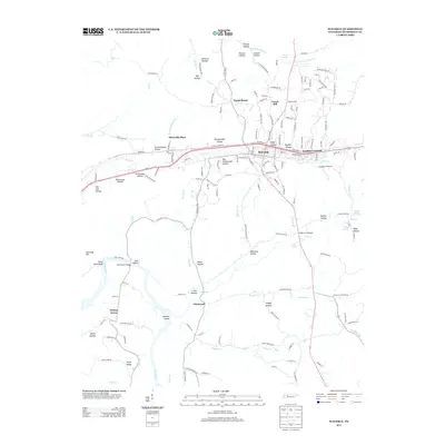 2013 Waverly2013 Print · USGSWaverly and the surrounding Humphreys County countryside are captured here in the early twenty-first century as the CSX rail line and Trace Creek bisect the landscape. Researchers can locate family landmarks like Johnson Shoals, the Tubbs Ford Bridge, and settlements such as Elysian Grove and Pigeon Roost.
 - 2013 Map of Johnsonville, 2013 Print
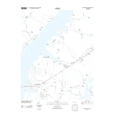 2013 Johnsonville2013 Print · USGSBenton and Humphreys County river life is captured here as the modern era meets traditional Tennessee bottomlands. Genealogists can trace family connections through numerous named landmarks like Spain Hollow, Seven Points, and the riverside Lucas Landing.
Showing maps 1-25 of 68
Top cities of Humphreys County
Frequently asked questions
- What are the different types of historical maps available for Humphreys County?
- What is the oldest map of Humphreys County?
- Where can I purchase historical maps of Humphreys County for my home or office?
- Where can I download high-res historical maps of Humphreys County?
- Are there historical topographic maps available for Humphreys County?
- Is there historical aerial imagery available for Humphreys County?
- Where are historical maps of Humphreys County sourced from?