2000s (21st Century) Maps of Sequatchie County, Tennessee
Explore 55 historic maps of Sequatchie County from the 2000s (21st Century). These maps offer a rare glimpse into what life looked like during the 2000s — showing old roads, neighborhoods, homes, and landmarks that have changed or disappeared over time.
Whether you're researching your family's past, planning a metal detecting trip, or studying how Sequatchie County's landscape evolved across the 2000s, these high-resolution maps are a powerful tool for exploring the history of this region.
- Focus on a specific era: All maps on this page are from the 2000s, giving you a focused view of this time period.
- See what’s changed: Compare century-old streets, trails, and buildings to today's modern landscape using overlays and satellite layers.
- Research with precision: Use these maps for genealogy, historical research, land use analysis, or educational projects.
- View, download, or print: Maps are fully viewable online in high resolution, and can be downloaded or printed for your own records.
Start exploring Sequatchie County's history through authentic maps from the 2000s. This is your window into the past.
Sequatchie County, TN maps
(55)- 2010 Map of Savage Point, 2010 Print
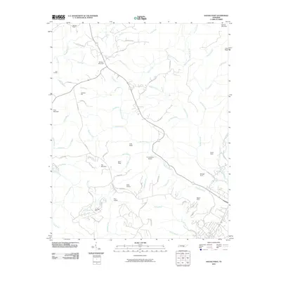 2010 Savage Point2010 Print · USGSSequatchie County's high ridges and deep hollows are documented here during the early twenty-first century. Genealogists and local historians can locate Lands Chapel Cemetery, the Deerhead Dam, and significant landmarks like Wolfpen Mountain.
 - 2010 Map of Fairmount, 2010 Print
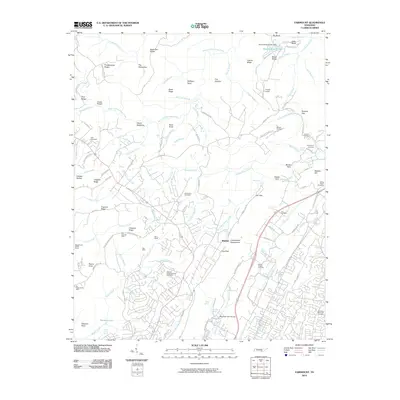 2010 Fairmount2010 Print · USGSThe Cumberland Escarpment north of Chattanooga is shown here in the early twenty-first century, balancing residential growth with its deep industrial roots. Genealogists and historians can trace numerous family-named cemeteries and old coal works like the Richard Lewis Number Eight Mine, Dill Mine, and Fairmount Cemetery.
 - 2010 Map of Henson Gap, 2010 Print
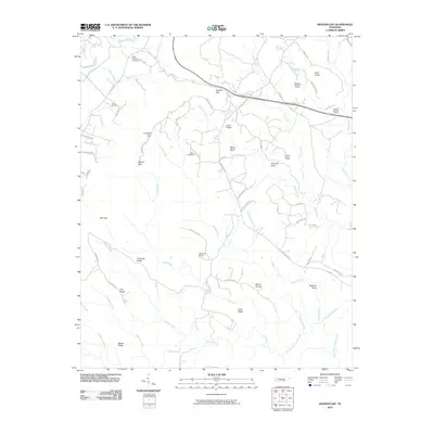 2010 Henson Gap2010 Print · USGSThe Tennessee plateau country near Lewis Chapel is documented here in the early twenty-first century. Genealogists and industrial historians can locate the Mowbray Number 18 Mine or trace family roots at Davis Chapel Cemetery and Lewis Cemetery.
 - 2010 Map of Daus, 2010 Print
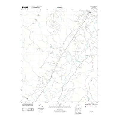 2010 Daus2010 Print · USGSThe Sequatchie River valley in the early 21st century remains a landscape of tightly-knit rural communities and family legacies. Genealogists can trace local history through numerous sites like Thans Chapel Cemetery, Woodcock Gulf, and Liberty.
 - 2010 Map of Curtistown, 2010 Print
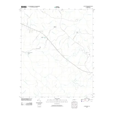 2010 Curtistown2010 Print · USGSWarren County in the early twenty-first century remains a landscape of high plateaus and deep hollows where rural life meets scientific observation. Genealogists and local historians can locate Pleasant Hill Cemetery, trace the industrial footprint of Powers Mine, or find the Cumberland Plateau Observatory.
 - 2010 Map of Palmer, 2010 Print
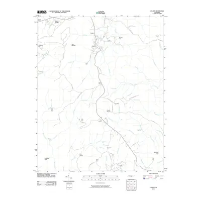 2010 Palmer2010 Print · USGSThe Cumberland Plateau in Grundy County shows its mining and mountain heritage in this 2010 survey. Researchers can trace deep family roots at Griffith Creek Cemetery or locate historic industry sites like Palmer Mine and Coal Valley Mine.
 - 2010 Map of Collins, 2010 Print
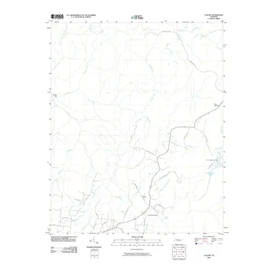 2010 Collins2010 Print · USGSGrundy County at the turn of the millennium reveals a landscape of deep gulfs and winding plateau roads. Genealogists and hikers can trace family names at Browns Cemetery or follow the historic path of Stage Coach Rd through Savage Gulf.
 - 2010 Map of Soddy, 2010 Print
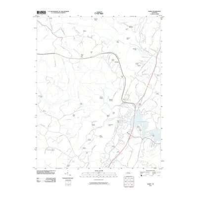 2010 Soddy2010 Print · USGSSoddy-Daisy and the surrounding ridges are shown at the start of the decade, where coal mining history meets the modern shoreline. Researchers can trace deep family roots at the Hotwater Cemetery or locate old industrial sites like the Burchard Mine and Daisy Mine.
 - 2010 Map of Ketner Gap, 2010 Print
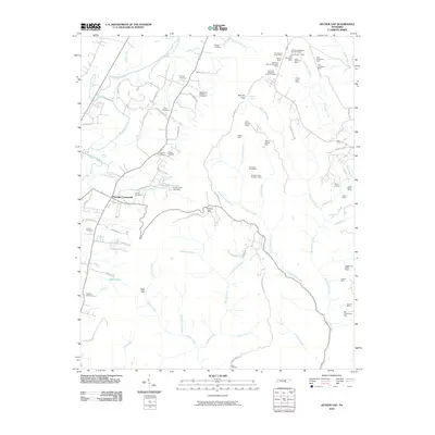 2010 Ketner Gap2010 Print · USGSThe Tennessee valley and its steep ridges are captured here in the early twenty-first century as a landscape of small settlements and active industry. Genealogists and researchers can locate several family burial grounds, including Teague Cemetery, and trace coal-related history at the Big Government Mine and Hassler Mine.
 - 2010 Map of Smartt Mountain, 2010 Print
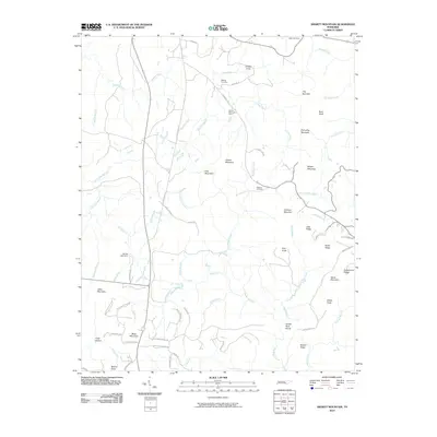 2010 Smartt Mountain2010 Print · USGSBledsoe County’s high plateau country is captured here in the early 2000s, showing a landscape of ridges and deep creek hollows. Researchers can locate family landmarks like the Walling Cemetery, trace the Rocky River, and find the Smartt Mountain Mine.
 - 2010 Map of Mount Airy, 2010 Print
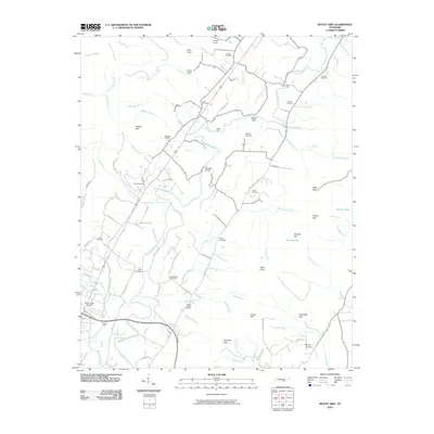 2010 Mount Airy2010 Print · USGSThe Sequatchie River valley is captured here in the early twenty-first century, showing a rural Tennessee landscape defined by family estates and river crossings. Researchers can trace ancestral sites at Hixson Cemetery and Pope Cemetery or locate old transit points like Brush Creek Siding and Standifer Bridge.
 - 2013 Map of Ketner Gap, 2013 Print
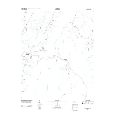 2013 Ketner Gap2013 Print · USGSThe Tennessee valley and ridge come into focus in the early 2010s, showing a landscape defined by its mountain gaps and river bends. Genealogists and local historians can trace family routes through Ketner Gap and explore settlements at Powells Crossroads and Shirleyton.
 - 2013 Map of Palmer, 2013 Print
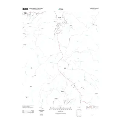 2013 Palmer2013 Print · USGSThe Cumberland Plateau landscape near Gruetli-Laager is captured here during the early twenty-first century. Genealogists and local researchers can trace the roads and hollows of Palmer, Tatesville, and Griffith Creek, or locate family landmarks in Norman Cove and Lenny Harris Cove.
 - 2013 Map of Savage Point, 2013 Print
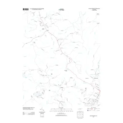 2013 Savage Point2013 Print · USGSThe Cumberland Plateau landscape near Cagle and Fredonia is captured here during a period of modern growth. Local historians can trace family-named landmarks and land use from Wheeler's Apple Orchard to the high overlooks at Savage Point.
 - 2013 Map of Henson Gap, 2013 Print
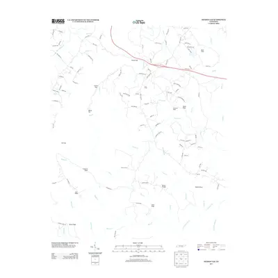 2013 Henson Gap2013 Print · USGSThe Cumberland Plateau landscape near Dunlap comes into focus in this 2012 survey. Researchers can trace family history and local land use through landmarks like Lewis Chapel, Stewart Camp, and the winding Davis Cemetery Rd.
 - 2013 Map of Soddy, 2013 Print
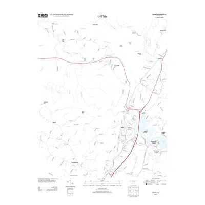 2013 Soddy2013 Print · USGSSoddy and the surrounding Cumberland Plateau are shown in detail during a period of modern residential growth along the shores of Dallas Lake. Family history researchers can trace local landmarks like Lovelady Spring, the Montlake Lookout Tower, and Bowman Cemetery Rd.
 - 2013 Map of Smartt Mountain, 2013 Print
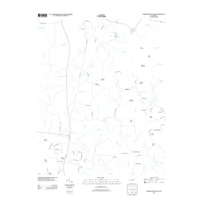 2013 Smartt Mountain2013 Print · USGSThis Tennessee plateau landscape in the early 2010s reveals a network of mountain ridges and remote valley settlements. Researchers can trace land features like Hitchcox, Jordan Rock House, and Smartt Mountain across a terrain of creeks and rocky hollows.
 - 2013 Map of Collins, 2013 Print
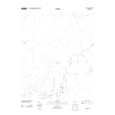 2013 Collins2013 Print · USGSGrundy County in the early twenty-first century reveals a landscape where deep-cut gulfs and old transit ways meet. Local historians can trace the paths of the Stage Coach Rd and Old Chat-Mc Minnville Stage Rd near Barkertown.
 - 2013 Map of Curtistown, 2013 Print
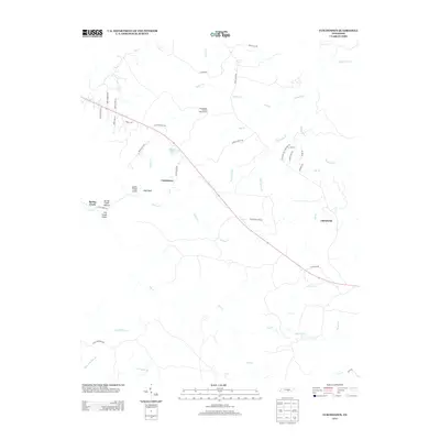 2013 Curtistown2013 Print · USGSThe rural Tennessee uplands of the Cumberland Plateau are captured here in the early twenty-first century, showing a landscape defined by deep hollows and ridge-top roads. Trace local landmarks like the Cumberland Plateau Observatory, the settlement of Chalybeate, and the rugged Laurel Creek Gulch.
 - 2013 Map of Mount Airy, 2013 Print
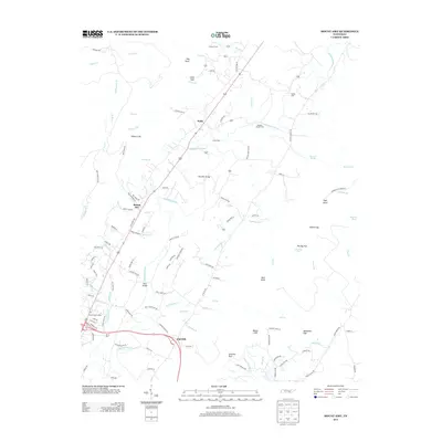 2013 Mount Airy2013 Print · USGSThe Sequatchie Valley is captured here just over a decade ago, showing a landscape defined by river crossings and rural settlements. Researchers can trace local history through family-named landmarks like Henson Spring, old fords at Harris Ford, and the rail point at Brush Creek Siding.
 - 2013 Map of Fairmount, 2013 Print
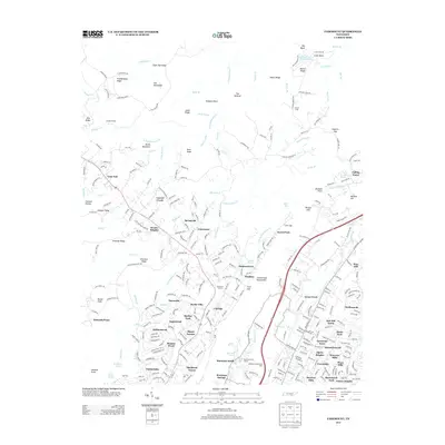 2013 Fairmount2013 Print · USGSThe ridge-and-valley landscape above Chattanooga comes into focus here during the early twenty-first century. Researchers can trace established communities like Walden and Lone Oak alongside historic landmarks such as Fairmount Orchard and Levi Cemetery.
 - 2013 Map of Daus, 2013 Print
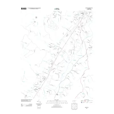 2013 Daus2013 Print · USGSThe Sequatchie River valley in the early twenty-first century remains a corridor of historic settlements and rural industry. Genealogists and researchers can trace family landmarks like Bryant Cemetery Rd and the communities of Daus, Condra, and New Hope.
 - 2016 Map of Mount Airy, 2016 Print
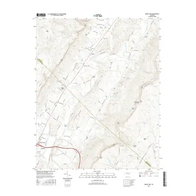 2016 Mount Airy2016 Print · USGSThe Sequatchie Valley south of Pikeville is captured here in the mid-2010s, showing the intersection of river life and ridge-top terrain. Genealogists can trace local family history through numerous burial sites like Welch Chapel Cem, Hixson Cem, and McWilliams Cem.
 - 2016 Map of Ketner Gap, 2016 Print
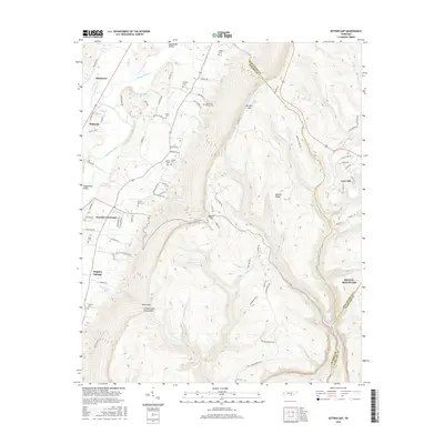 2016 Ketner Gap2016 Print · USGSThe Sequatchie Valley meets the high plateau of Walden Ridge in this modern topographic survey. Researchers can trace family history through a high density of rural burial sites, including Pickett Cem, Shelton Cem, and Smith Cem.
 - 2016 Map of Soddy, 2016 Print
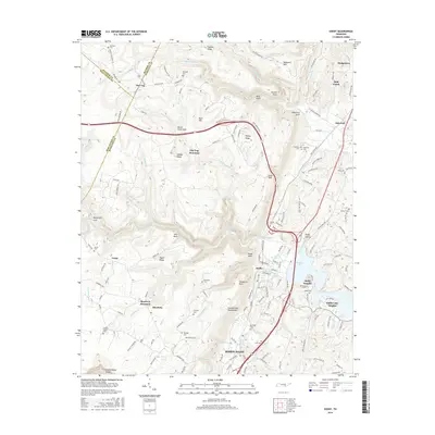 2016 Soddy2016 Print · USGSHamilton County sits at the dramatic meeting point of the Tennessee valley and the plateau in the mid-2010s. Local researchers can trace family sites like Granny Walker Cem and Wallace Cem or locate the deep reaches of Bakewell Gulf.
Showing maps 1-25 of 55
Top cities of Sequatchie County
Frequently asked questions
- What are the different types of historical maps available for Sequatchie County?
- What is the oldest map of Sequatchie County?
- Where can I purchase historical maps of Sequatchie County for my home or office?
- Where can I download high-res historical maps of Sequatchie County?
- Are there historical topographic maps available for Sequatchie County?
- Is there historical aerial imagery available for Sequatchie County?
- Where are historical maps of Sequatchie County sourced from?