2010s Maps of Aransas County, Texas
Explore 64 historic maps of Aransas County from the 2010s. These maps offer a rare glimpse into what life looked like during the 2010s — showing old roads, neighborhoods, homes, and landmarks that have changed or disappeared over time.
Whether you're researching your family's past, planning a metal detecting trip, or studying how Aransas County's landscape evolved across the 2010s, these high-resolution maps are a powerful tool for exploring the history of this region.
- Focus on a specific era: All maps on this page are from the 2010s, giving you a focused view of this time period.
- See what’s changed: Compare century-old streets, trails, and buildings to today's modern landscape using overlays and satellite layers.
- Research with precision: Use these maps for genealogy, historical research, land use analysis, or educational projects.
- View, download, or print: Maps are fully viewable online in high resolution, and can be downloaded or printed for your own records.
Start exploring Aransas County's history through authentic maps from the 2010s. This is your window into the past.
Aransas County, TX maps
(64)- 2010 Map of Quintana, 2010 Print
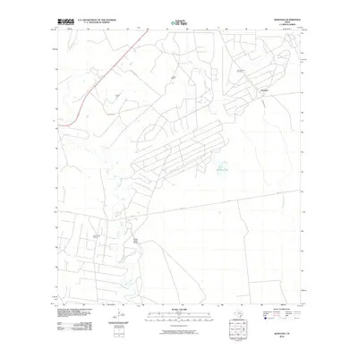 2010 Quintana2010 Print · USGSCoastal Refugio County is captured here in the early twenty-first century, showcasing a landscape defined by ranching and petroleum. You can locate family landmarks like Lambert Ranch and extensive energy works such as the Tom O'Connor Oil Field.
 - 2010 Map of Twin Mott Lake, 2010 Print
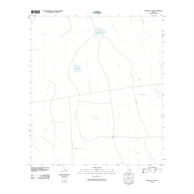 2010 Twin Mott Lake2010 Print · USGSCoastal Aransas County near the turn of the decade is depicted here as a landscape of interconnected wetlands and rural roads. Researchers can trace the local infrastructure around Windsor and identify remote landmarks like Cavasso Pens and Twin Mott Lake.
 - 2010 Map of Rockport, 2010 Print
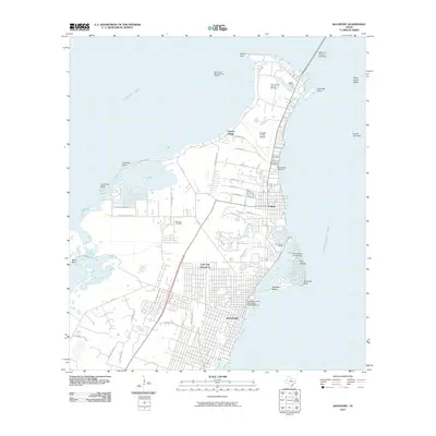 2010 Rockport2010 Print · USGSThe Texas Gulf Coast comes into focus during this period of coastal development and energy production. Genealogists and local historians can trace family locations near McLester Cemetery, explore the Key Allegro waterfront, or locate the Fulton Beach Gas and Oil Field.
 - 2010 Map of Mesquite Bay, 2010 Print
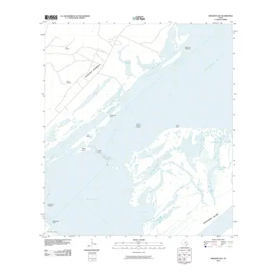 2010 Mesquite Bay2010 Print · USGSThe Texas Gulf Coast shoreline appears in great detail in the decade before 2010, showing the barrier island ecosystems of Matagorda Island and San Jose Island. Researchers can trace the ranching history of Blackjack Peninsula through landmarks like Carlos Windmill and Jack Windmill.
 - 2010 Map of Saint Charles Bay SW, 2010 Print
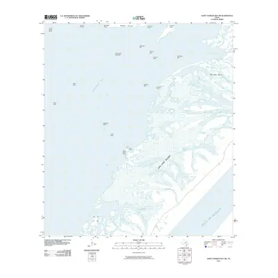 2010 Saint Charles Bay SW2010 Print · USGSThe Aransas County coast at the start of the 21st century remains a landscape of tide-swept barrier islands and shallow bays. Researchers can trace the shifting shorelines of San Jose Island and locate named landmarks like Deadman Island and Pelican Reef.
 - 2010 Map of Tivoli SE, 2010 Print
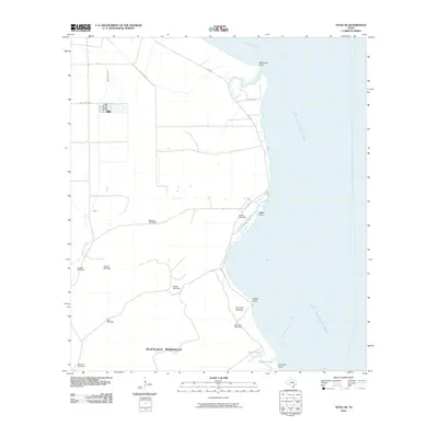 2010 Tivoli SE2010 Print · USGSAransas County's coastal reaches are documented in this early 21st-century survey of the Blackjack Peninsula. Genealogists and local historians can trace family-named landmarks and essential water sources like Buzzard Windmill, The Sand Mounds, and McDowell Point.
 - 2010 Map of Tivoli SW, 2010 Print
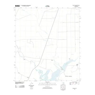 2010 Tivoli SW2010 Print · USGSCoastal Aransas County is captured here in the early twenty-first century, showing the intersection of ranching life and the Gulf waterways. Researchers can locate family landmarks like Hawes Windmill and Llano Windmill or trace the shoreline of St Charles Bay.
 - 2010 Map of Estes, 2010 Print
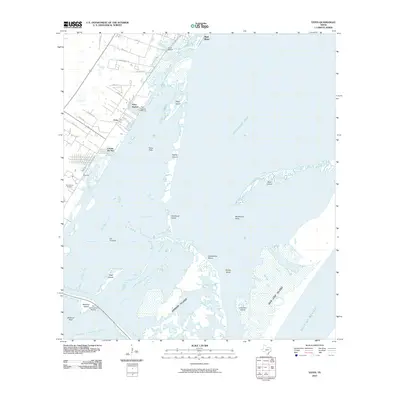 2010 Estes2010 Print · USGSTexas coastal life at the start of the century is captured here as mainland communities meet the barrier islands. Genealogists and historians can locate San Antonio Cemetery or trace the early development of City-by-the-Sea, Palm Harbor, and the Old Terminal site.
 - 2010 Map of Saint Charles Bay SE, 2010 Print
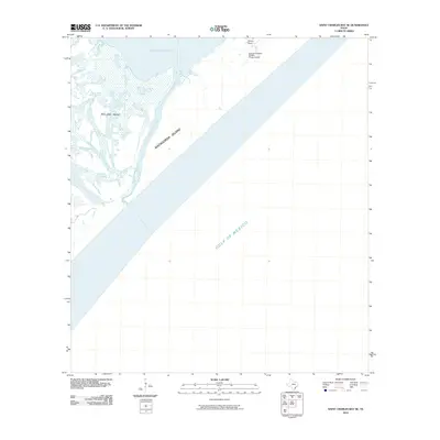 2010 Saint Charles Bay SE2010 Print · USGSThe Aransas County coastline and barrier islands are captured here in the early twenty-first century. Researchers can trace the shifting sands of Matagorda Island, the wetlands of Vinson Slough, and the remote Wynne Ranch.
 - 2010 Map of Allyns Bight, 2010 Print
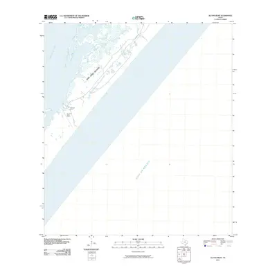 2010 Allyns Bight2010 Print · USGSSan Jose Island appears as a resilient barrier between the gulf and the bay in this coastal Texas survey. Researchers can locate the private San Jose Island Airport and Fairmont Ranch, or trace the shoreline of Long Lake and the Arkansas Bay marshlands.
 - 2010 Map of Lamar, 2010 Print
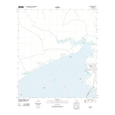 2010 Lamar2010 Print · USGSThe Aransas County coastline is captured here just after the turn of the millennium as residential development and industry meet the Gulf. Trace the layout of Holiday Beach, the path of Cemetery Rd, and offshore energy sites like the Copano Bay Oil and Gas Field.
 - 2010 Map of Saint Charles Bay, 2010 Print
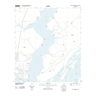 2010 Saint Charles Bay2010 Print · USGSThe Aransas County coastline is charted here in the early 2000s, showing the intricate transition from the mainland to the Gulf islands. Trace the development of Lamar Peninsula or locate family history at Lamar Cemetery and Kalt Ranch Airport.
 - 2010 Map of Bayside, 2010 Print
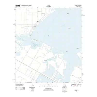 2010 Bayside2010 Print · USGSCoastal Refugio County at the start of the 2010s shows a landscape where maritime ecology and industrial footprints meet. Researchers can trace the waterfront of Bayside and Old Saint Marys while locating the South Copano Bay Oil Field and Snellbank Reef.
 - 2010 Map of Port Aransas, 2010 Print
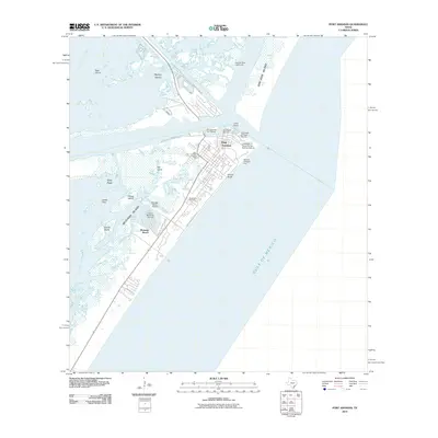 2010 Port Aransas2010 Print · USGSPort Aransas and the barrier islands of the Texas Coastal Bend are shown in detail during the early twenty-first century. Researchers can trace local landmarks like Royal Palm Cemetery, the Aransas Pass Lighthouse, and the development of Holiday Beach.
 - 2010 Map of Aransas Pass, 2010 Print
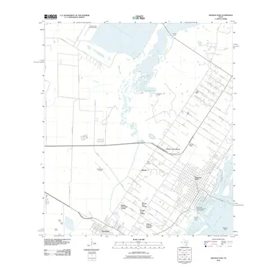 2010 Aransas Pass2010 Print · USGSThe Texas Gulf Coast near Aransas Pass and Ingleside reveals a complex mix of maritime industry and rural residential colonias. Modern researchers can trace local lineage through Prairie View Cemetery or locate old fishing hubs like Redfish Camp.
 - 2010 Map of Rincon Bend, 2010 Print
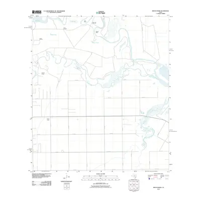 2010 Rincon Bend2010 Print · USGSThe coastal plains of San Patricio County are shown here in the early twenty-first century, defined by the winding Aransas River and local energy production. Researchers can trace land use through the Plymouth Gas and Oil Field or locate rural landmarks like Mare Trap Windmill and Palomo Tank.
 - 2012 Map of Allyns Bight, 2012 Print
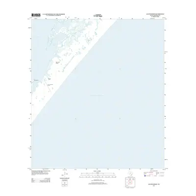 2012 Allyns Bight2012 Print · USGSThe Texas Gulf Coast near Corpus Christi is captured here in the early twenty-first century, showcasing the barrier island systems. Trace the coastal geography around Fairmont Ranch, San Jose Island Airport, and the waters of Allyns Bight.
 - 2013 Map of Saint Charles Bay, 2013 Print
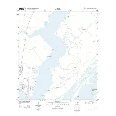 2013 Saint Charles Bay2013 Print · USGSCoastal Aransas County is captured here in the early twenty-first century, showing the intersection of ranching lands and Gulf Coast bayous. Genealogists and local historians can trace the area around Lamar Cem, the facilities at Kalt Ranch Airport, and family-named landmarks like Alamos Windmill.
 - 2013 Map of Tivoli SE, 2013 Print
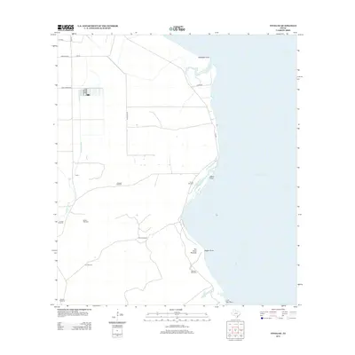 2013 Tivoli SE2013 Print · USGSThe Aransas County coast at the start of the 2010s reveals a prairie landscape transitioning into the waters of San Antonio Bay. Researchers can locate specialized ranching landmarks like Buzzard Windmill and coastal terrain features including The Sand Mounds and McDowell Point.
 - 2013 Map of Mesquite Bay, 2013 Print
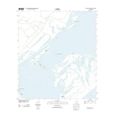 2013 Mesquite Bay2013 Print · USGSAransas County's delicate coastal boundary is captured here in the early twenty-first century, showing the intersection of conservation lands and tidal waters. You can trace the labyrinth of Shell Reef Bayou or locate landmarks like Jack Windmill.
 - 2013 Map of Saint Charles Bay SW, 2013 Print
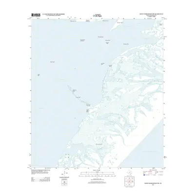 2013 Saint Charles Bay SW2013 Print · USGSThe Aransas County coastline and its intricate barrier islands are documented here in the early twenty-first century. Maritime researchers and local historians can trace the names of submerged landmarks like Deadman Island, Towhead Reef, and Vinson Slough.
 - 2013 Map of Saint Charles Bay SE, 2013 Print
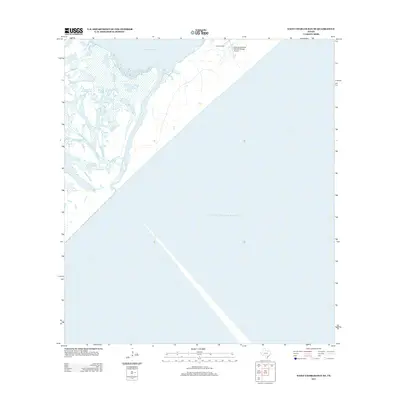 2013 Saint Charles Bay SE2013 Print · USGSCoastal Aransas County is captured in this early 21st-century survey, showing the preserved wetlands where the land meets the sea. Researchers can locate the Wynne Ranch and trace the winding waters of Vinson Slough near the Aransas National Wildlife Refuge.
 - 2013 Map of Tivoli SW, 2013 Print
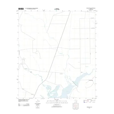 2013 Tivoli SW2013 Print · USGSThe Texas Gulf Coast ranchlands come into focus in this early twenty-first century survey of Aransas County. Researchers can trace land use through cattle-country landmarks like Hawes Windmill, Lucky Windmill, and the community of Spanish Village near St Charles Bay.
 - 2013 Map of Twin Mott Lake, 2013 Print
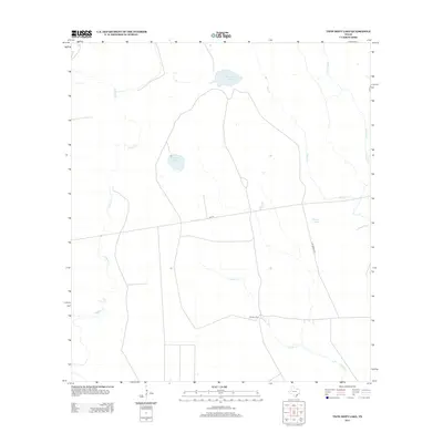 2013 Twin Mott Lake2013 Print · USGSThe coastal plains of Aransas County are shown here in the years following the turn of the millennium. Genealogists and local historians can trace the rural landscape around Cavasso Pens or follow the paths of Twin Mott Lake and Copano Cr.
 - 2013 Map of Port Aransas, 2013 Print
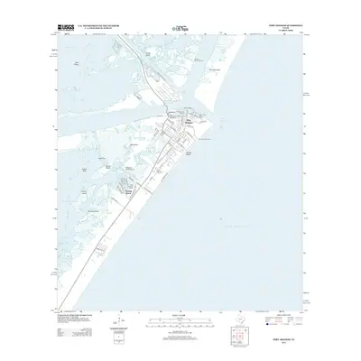 2013 Port Aransas2013 Print · USGSPort Aransas and Mustang Island are captured here during a period of modern coastal expansion and maritime activity. Researchers can trace the layout of the fishing and boating community from the Aransas Pass Lighthouse to landmarks like Royal Palm Cem and Horace Caldwell Pier.
Showing maps 1-25 of 64
Top cities of Aransas County
Frequently asked questions
- What are the different types of historical maps available for Aransas County?
- What is the oldest map of Aransas County?
- Where can I purchase historical maps of Aransas County for my home or office?
- Where can I download high-res historical maps of Aransas County?
- Are there historical topographic maps available for Aransas County?
- Is there historical aerial imagery available for Aransas County?
- Where are historical maps of Aransas County sourced from?