Old Maps of Elmendorf, Texas for Metal Detecting
Plan your next treasure hunt with 17 historic maps of Elmendorf. Find old homesites, ghost towns, trails, and gathering spots that may be lost to time — perfect for identifying promising metal detecting locations.
- Locate forgotten sites: Uncover places like long-lost settlements, abandoned rail lines, or gathering spots.
- Plan better hunts: Use map overlays combined with LiDAR or satellite views to narrow in on historically rich areas.
- Made for detectorists: Thousands of hobbyists use these maps to discover relics, coins, and hidden history.
Use these historic maps to boost your research and find new opportunities beneath the surface of Elmendorf.
Elmendorf, TX maps
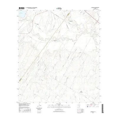
(17)- 1953 Map of Elmendorf, 1959 Print
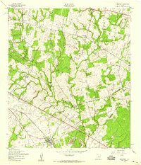 1953 Elmendorf1959 Print · USGSSoutheast of San Antonio in the early fifties, this area shows a landscape defined by the Southern Pacific rail line and active petroleum production. Genealogists can trace family names at the Cantu Cem and Flores Cem or locate the old Parita Ch.
 - 1954 Map of San Antonio, 1964 Print
 1954 San Antonio1964 Print · USGSSan Antonio and the Texas Hill Country are captured here in the mid-fifties, showing a landscape defined by massive military air bases and the rising Canyon Reservoir. Trace family ties through historic rail towns like D'Hanis and Castroville or explore the Cold War footprint of Lackland AFB and Randolph AFB.3 unique versions available
 - 1957 Map of San Antonio
 1957 San Antonio1957 Print · USGSSan Antonio and the Texas Hill Country are shown here during the mid-fifties, capturing the region's expanding post-war military and transportation footprint. Genealogists and local historians can trace the early residential boundaries of Alamo Heights or locate rural landmarks like St Hedwig and Medina Lake.
 - 1958 Map of Saspamco, 1961 Print
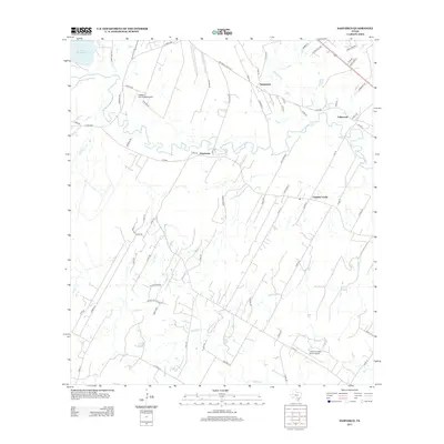
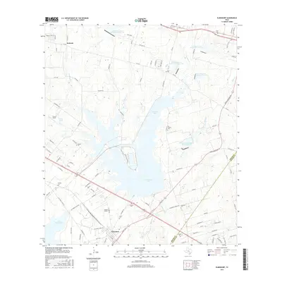
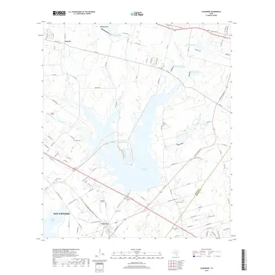
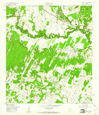 1958 Saspamco1961 Print · USGSThe San Antonio River valley south of San Antonio comes into focus in the late fifties, showing a rural landscape of small settlements and rail stops. Local researchers can trace family roots through sites like Guadalupe Ch and the quiet community of Graytown.2 unique versions available
 - 1967 Map of Elmendorf, 1969 Print
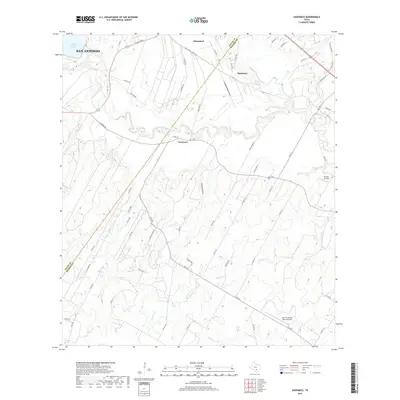
 1967 Elmendorf1969 Print · USGSSoutheast of San Antonio in the late sixties, this survey captures a landscape defined by the new reservoirs and rural family settlements. Researchers can trace local heritage at San Lorenzo Cem, the Parita Ch, and the Eckert Oil Field.2 unique versions available
 - 1985 Map of San Antonio
 1985 San Antonio1985 Print · USGSSan Antonio and its surrounding hill country are captured in the mid-eighties during a period of significant suburban and military expansion. Genealogists and historians can trace the footprint of Kelly Air Force Base, old rail lines like the Missouri-Kansas-Texas, and smaller communities like Saspamco or Zuehl.3 unique versions available
 - 1992 Map of Elmendorf, 1993 Print
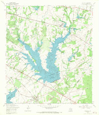
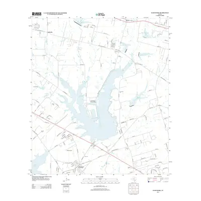
 1992 Elmendorf1993 Print · USGSSoutheast of San Antonio in the early nineties, this area shows the intersection of major energy infrastructure and old Texas settlements. Genealogists can locate family sites like Delgado Cem and Flores Cem near the banks of Calaveras Lake.
 - 2010 Map of Elmendorf, 2010 Print
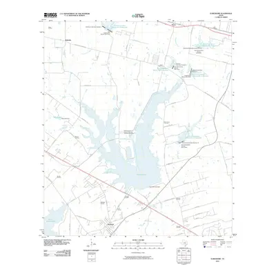 2010 Elmendorf2010 Print · USGSCovers Elmendorf, including San Antonio, China Grove, and other nearby areas
 - 2010 Map of Saspamco, 2010 Print
 2010 Saspamco2010 Print · USGSCovers Elmendorf, including San Antonio, Calaveras, and other nearby areas
 - 2013 Map of Elmendorf, 2013 Print
 2013 Elmendorf2013 Print · USGSCovers Elmendorf, including San Antonio, China Grove, and other nearby areas
 - 2013 Map of Saspamco, 2013 Print
 2013 Saspamco2013 Print · USGSCovers Elmendorf, including San Antonio, Calaveras, and other nearby areas
 - 2016 Map of Saspamco, 2016 Print
 2016 Saspamco2016 Print · USGSCovers Elmendorf, including San Antonio, Calaveras, and other nearby areas
 - 2016 Map of Elmendorf, 2016 Print
 2016 Elmendorf2016 Print · USGSCovers Elmendorf, including San Antonio, China Grove, and other nearby areas
 - 2019 Map of Elmendorf, 2019 Print
 2019 Elmendorf2019 Print · USGSCovers Elmendorf, including San Antonio, China Grove, and other nearby areas
 - 2019 Map of Saspamco, 2019 Print
 2019 Saspamco2019 Print · USGSCovers Elmendorf, including San Antonio, Calaveras, and other nearby areas
 - 2022 Map of Saspamco, 2022 Print
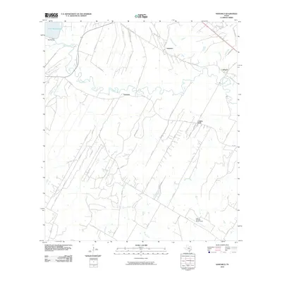
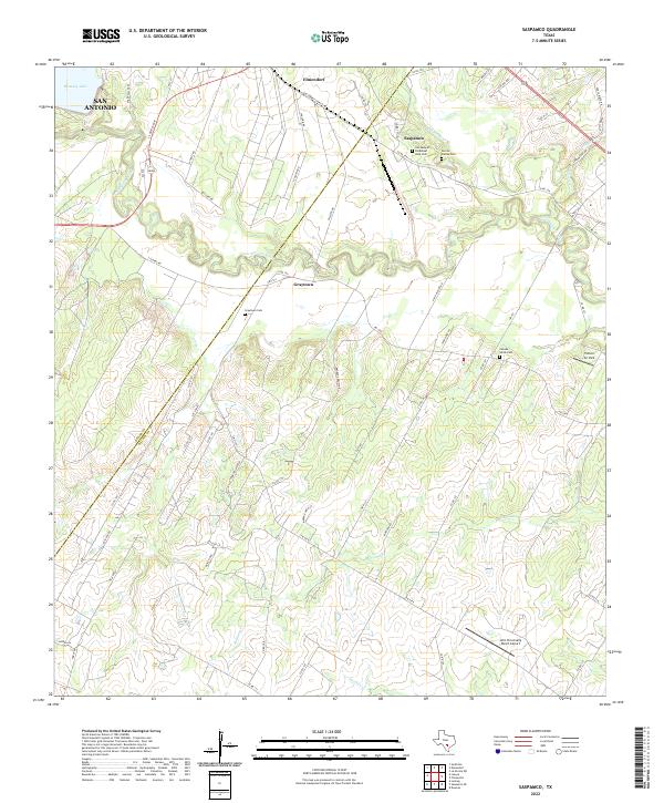 2022 Saspamco2022 Print · USGSSoutheastern Texas ranch lands and river bends come alive in this recent survey of the Wilson and Bexar county line. Local historians can trace cemetery locations like Canada Verde Cem or the industrial roots of Saspamco near the San Antonio River.
 - 2022 Map of Elmendorf, 2022 Print
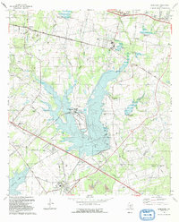
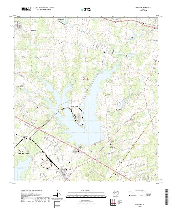 2022 Elmendorf2022 Print · USGSSoutheast of San Antonio in the 2020s, this area of Bexar County shows a unique landscape of modern reservoirs and deep-rooted family history. Researchers can trace dozens of local burial sites like Cementerio Santa Isabel, Hobrecht Family Cem, and Elmendorf City Cem.
End of results
Showing maps 1-17 of 17
Top cities near Elmendorf
- San Antonio historical maps
- Schertz historical maps
- Floresville historical maps
- Converse historical maps
- Lone Oak historical maps
- Kirby historical maps
See more
Frequently asked questions
- What are the different types of historical maps available for Elmendorf?
- What is the oldest map of Elmendorf?
- Where can I purchase historical maps of Elmendorf for my home or office?
- Where can I download high-res historical maps of Elmendorf?
- Are there historical topographic maps available for Elmendorf?
- Is there historical aerial imagery available for Elmendorf?
- Where are historical maps of Elmendorf sourced from?