2020s Maps of Brewster County, Texas
Explore 126 historic maps of Brewster County from the 2020s. These maps offer a rare glimpse into what life looked like during the 2020s — showing old roads, neighborhoods, homes, and landmarks that have changed or disappeared over time.
Whether you're researching your family's past, planning a metal detecting trip, or studying how Brewster County's landscape evolved across the 2020s, these high-resolution maps are a powerful tool for exploring the history of this region.
- Focus on a specific era: All maps on this page are from the 2020s, giving you a focused view of this time period.
- See what’s changed: Compare century-old streets, trails, and buildings to today's modern landscape using overlays and satellite layers.
- Research with precision: Use these maps for genealogy, historical research, land use analysis, or educational projects.
- View, download, or print: Maps are fully viewable online in high resolution, and can be downloaded or printed for your own records.
Start exploring Brewster County's history through authentic maps from the 2020s. This is your window into the past.
Brewster County, TX maps
(126)- 2022 Map of Reed Camp OE S, 2022 Print
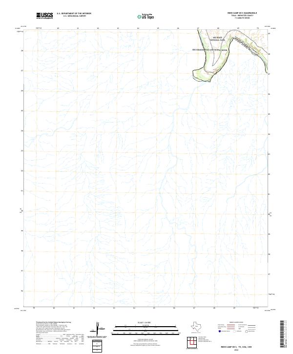 2022 Reed Camp OE S2022 Print · USGSThe international border along the Big Bend takes center stage in this recent survey of the Texas desert. Researchers can trace the winding path of the Rio Grande Wild and Scenic River as it passes through Big Bend National Park.
 - 2022 Map of Solis OE S, 2022 Print
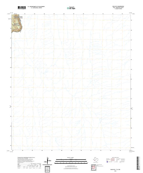 2022 Solis OE S2022 Print · USGSBrewster County's desert borderlands appear in the early 2020s, centered on the winding river corridor. Researchers can trace the path of the Rio Grande Wild and Scenic River as it carves through Mariscal Canyon within Big Bend National Park.
 - 2022 Map of Mariscal Mountain OE S, 2022 Print
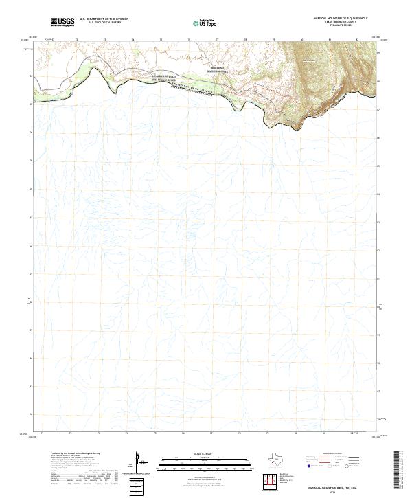 2022 Mariscal Mountain OE S2022 Print · USGSThe international border along the southern reaches of Brewster County is captured here in the early twenty-first century. Researchers can trace the winding Rio Grande through Mariscal Canyon and follow primitive paths like the Mariscal Rim Trl.
 - 2022 Map of Panther Gulch West, 2022 Print
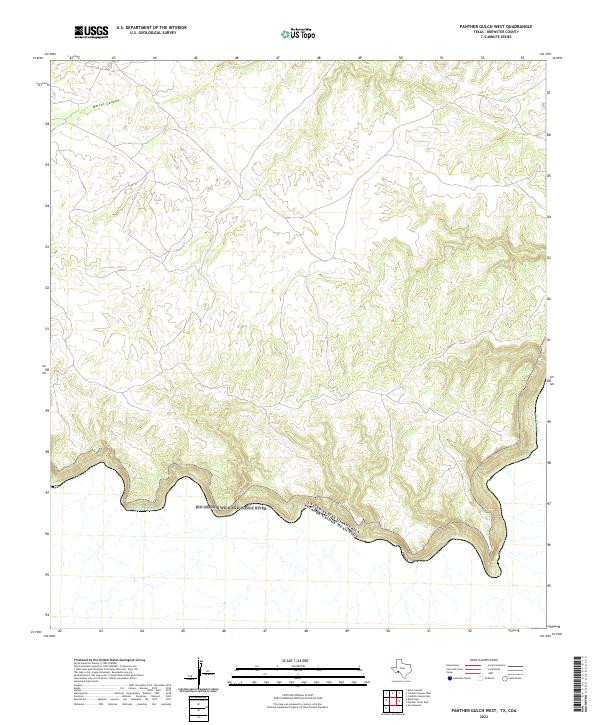 2022 Panther Gulch West2022 Print · USGSThe Texas-Mexico border comes into focus along the southern bend of the Rio Grande in this Brewster County survey. Researchers can trace the protected corridor of the Rio Grande Wild and Scenic River and the winding path of Barrel Canyon.
 - 2022 Map of Yellow House Peak, 2022 Print
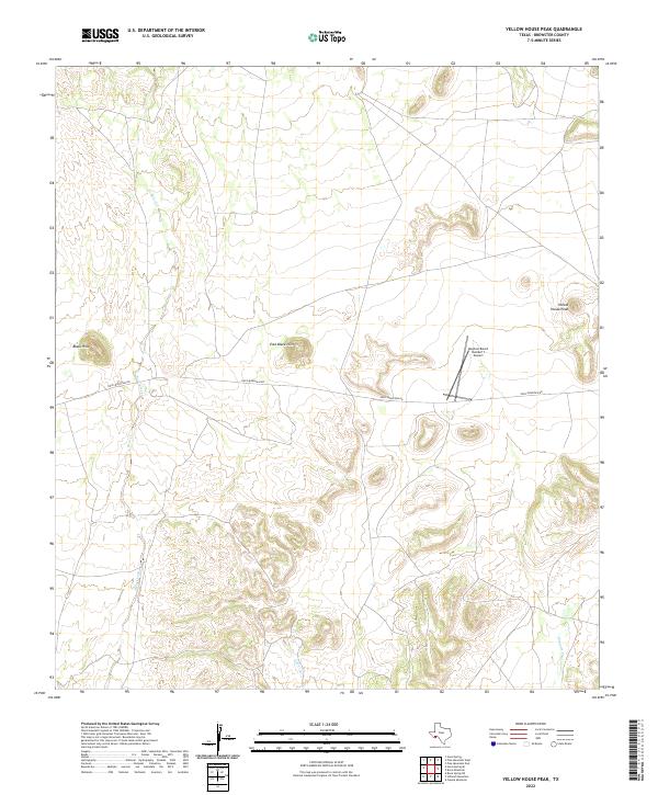 2022 Yellow House Peak2022 Print · USGSBrewster County's desert ranch lands are captured here in the early twenty-first century, showcasing a landscape of isolated peaks and vast private holdings. Researchers can trace the path of Dove Mountain Rd past the Mayhew Ranch Number 1 Airport and into the Black Hills.
 - 2022 Map of Stillwell Crossing OE S, 2022 Print
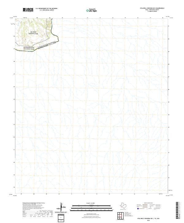 2022 Stillwell Crossing OE S2022 Print · USGSBig Bend's borderlands are recorded here in the early twenty-first century, showing where the International Boundary follows the desert river. Researchers can trace the rugged drainage of Heath Cr and the protected corridor of the Rio Grande Wild and Scenic River.
 - 2022 Map of Dove Mountain, 2022 Print
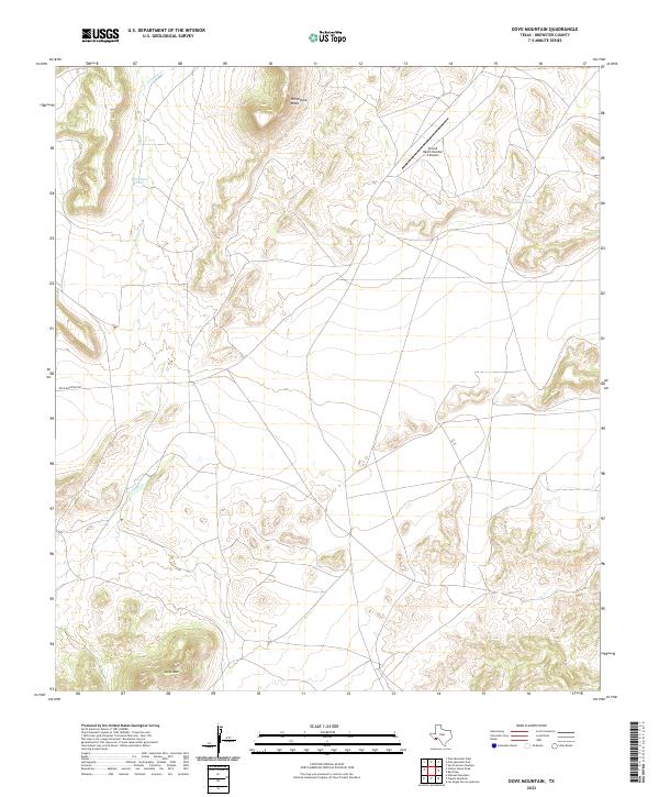 2022 Dove Mountain2022 Print · USGSBig Bend country ranch lands are captured here in the early twenty-first century, showing the remote infrastructure of Brewster County. Researchers can trace the desert drainage of Guayule Cr or locate the private Stovall Ranch Number 4 Airport near Dove Mtn.
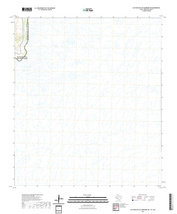
 - 2022 Map of Las Vegas De Los Ladrones, 2022 Print
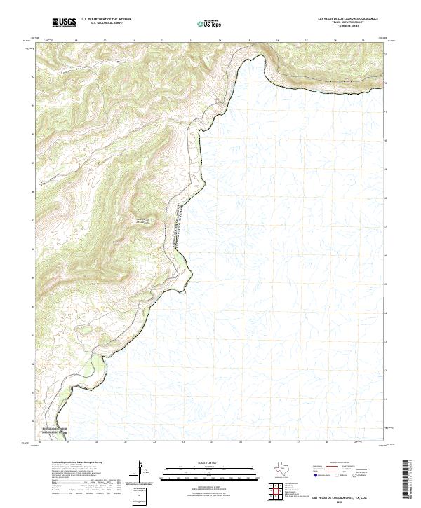 2022 Las Vegas De Los Ladrones2022 Print · USGSThe international border along the Big Bend region remains a rugged wilderness in the early 2020s. Researchers can trace the winding path of the Rio Grande and identify remote terrain features like Reagan Canyon and Las Vegas de los Ladrones.
 - 2022 Map of Beef Gap, 2022 Print
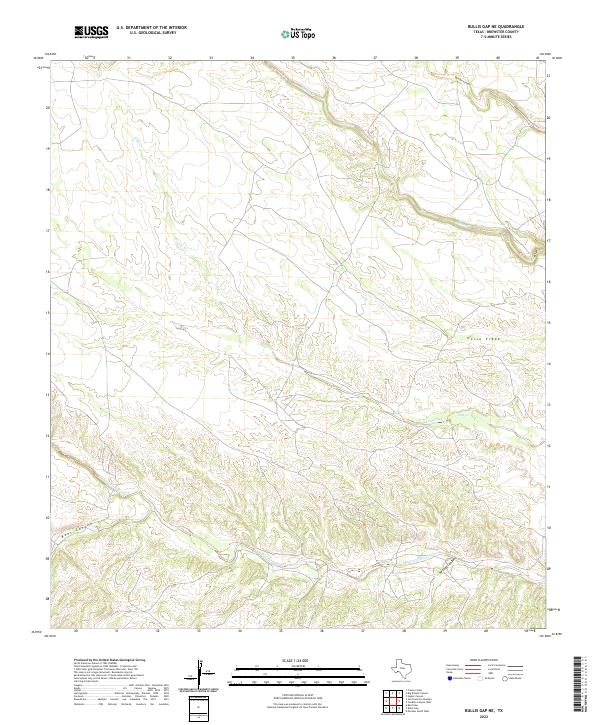
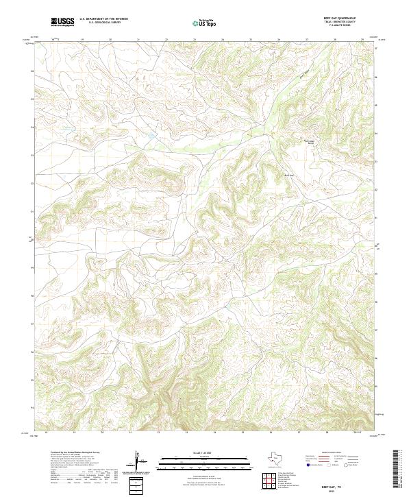 2022 Beef Gap2022 Print · USGSThe Brewster County landscape is defined by the high ridges of the Bullis Gap Range during the early 2020s. Local researchers can trace topographical landmarks like Beef Gap and water resources such as Little Crenshaw Tank.
 - 2022 Map of Cupola Mountain, 2022 Print
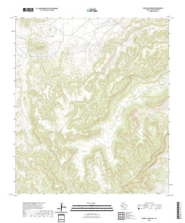 2022 Cupola Mountain2022 Print · USGSBrewster County's high desert peaks and deep draws are shown here in the 2020s. Trace the dramatic topography of this remote landscape across Cupola Mtn, Black Mtn, and the winding path of Reagan Canyon.
 - 2022 Map of Bourland Canyon, 2022 Print
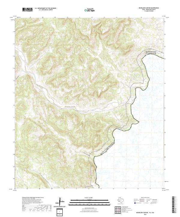 2022 Bourland Canyon2022 Print · USGSThe international border along the Brewster County riverfront comes into focus in this contemporary survey of the Big Bend region. Researchers can trace the sinuous path of the Rio Grande Wild and Scenic River and its intersections with Maravillas Canyon and Bourland Canyon.
 - 2022 Map of Pine Mountain East, 2022 Print
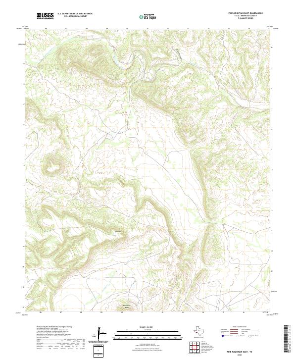 2022 Pine Mountain East2022 Print · USGSBrewster County's high desert terrain is mapped here during the early 2020s, showing a land of dramatic mesas and deep canyons. Researchers can trace the winding course of San Francisco Creek or locate landmarks like Pine Mtn and Horseshoe Mesa.
 - 2022 Map of Black Gap, 2022 Print
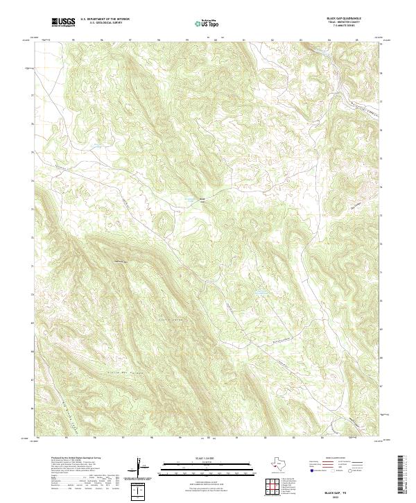 2022 Black Gap2022 Print · USGSBrewster County in the twenty-first century remains a land of massive geological formations and remote desert outposts. Trace the rugged terrain of the Sierra del Carmen and identify vital water sources like Rockhouse Tank or Hole in the Ground Tank.
 - 2022 Map of Pine Mountain West, 2022 Print
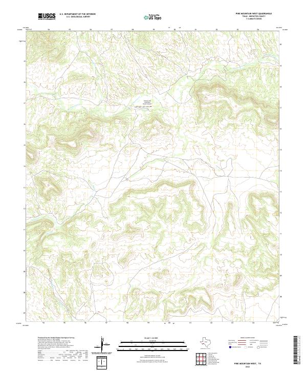 2022 Pine Mountain West2022 Print · USGSBrewster County's high desert terrain is mapped here during the early twenty-first century, showing a landscape defined by deep arroyos and remote ranching hubs. Researchers can trace the winding course of San Francisco Cr and locate the isolated Chaney San Francisco Ranch Airport.
 - 2022 Map of Stillwell Mountain, 2022 Print
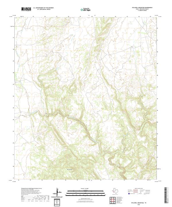 2022 Stillwell Mountain2022 Print · USGSThe rugged Brewster County landscape in the early 2020s is defined by its deep canyons and mountain peaks. Trace the winding path of Maravillas Creek through Maravillas Canyon and the high ridges near Stillwell Mountain.
 - 2022 Map of Ernst Valley, 2022 Print
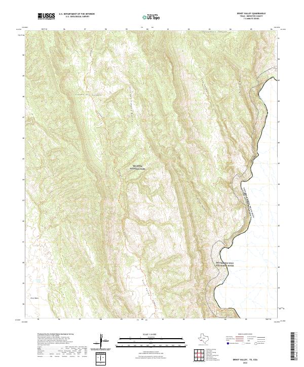 2022 Ernst Valley2022 Print · USGSThe international border along the Rio Grande takes center stage in this recent study of Brewster County's desert peaks. Trace the primitive routes of the Strawhouse Trl through Ernst Valley and the high ridges of the Sierra del Carmen.
 - 2022 Map of San Francisco Shutups, 2022 Print
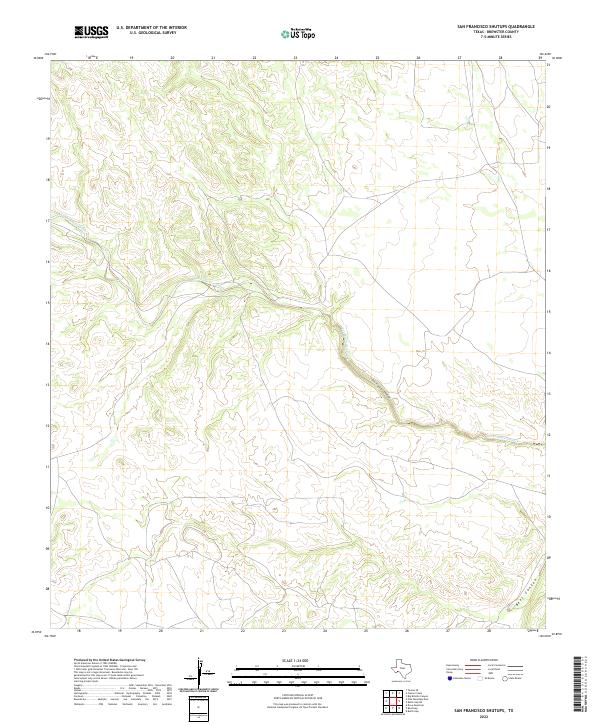 2022 San Francisco Shutups2022 Print · USGSBrewster County's arid high desert and deep canyon incisions are documented in this recent survey of the Trans-Pecos. Researchers can trace the winding course of San Francisco Creek through the San Francisco Shutups and into Beef Canyon.
 - 2022 Map of Candilla Canyon West, 2022 Print
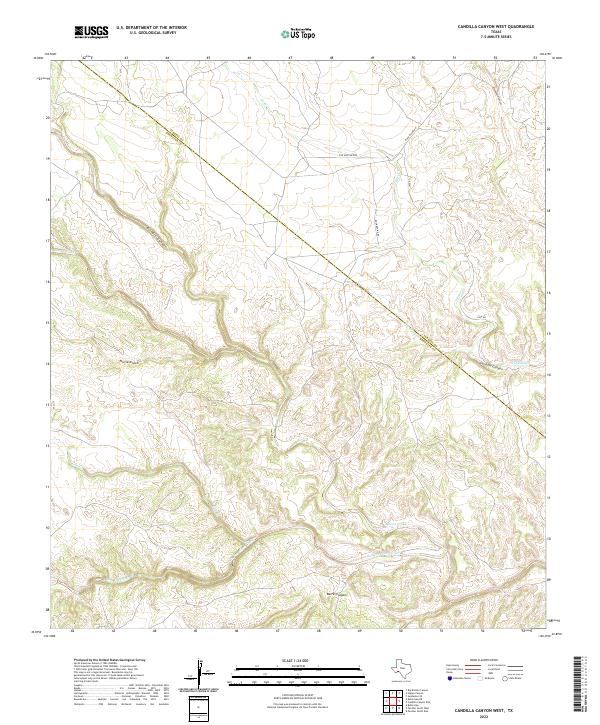 2022 Candilla Canyon West2022 Print · USGSThe Trans-Pecos desert frontier is revealed in this contemporary survey of the high canyon country. Researchers can trace the rugged drainage of San Francisco Creek, identify family-named landmarks like Coe Springs, and follow the remote Terrell and Brewster County boundary.
 - 2022 Map of Las Vegas De Los Ladrones SW, 2022 Print
 2022 Las Vegas De Los Ladrones SW2022 Print · USGSThe international border along the Rio Grande dominates this remote West Texas terrain in the early 2020s. Researchers can trace the protected waters of the Rio Grande Wild and Scenic River and the boundary of the United States of America Estados Unidos Mexicanos.
 - 2022 Map of Sue Peaks, 2022 Print
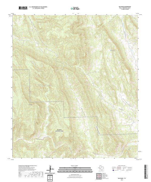 2022 Sue Peaks2022 Print · USGSBig Bend's high desert peaks and deep canyons are documented here in the early twenty-first century. Hikers and historians can trace remote routes like the Telephone Canyon Trl and Strawhouse Trl near Sue Peaks.
 - 2022 Map of Bullis Gap NE, 2022 Print
 2022 Bullis Gap NE2022 Print · USGSBrewster County's arid landscape comes into sharp focus during this early twenty-first-century survey of West Texas. Researchers can trace the complex drainage networks of San Francisco Creek and the deep relief of Brindle Canyon and Beef Canyon.
 - 2022 Map of Maravillas Gap, 2022 Print
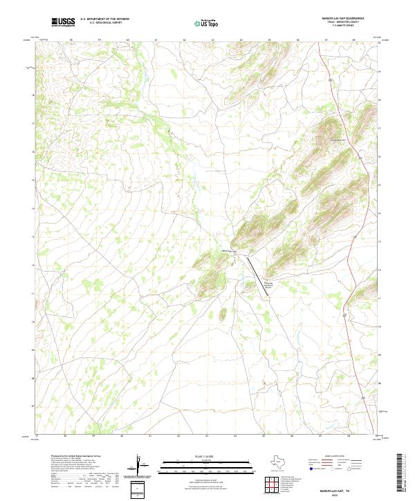 2022 Maravillas Gap2022 Print · USGSBrewster County's desert landscape is captured here in the early twenty-first century, showing the remote ranchlands of West Texas. Researchers can locate the Maravillas Gap Ranch Airport and trace drainages like Maravillas Cr near Three Mile Hill.
 - 2022 Map of The Basin, 2022 Print
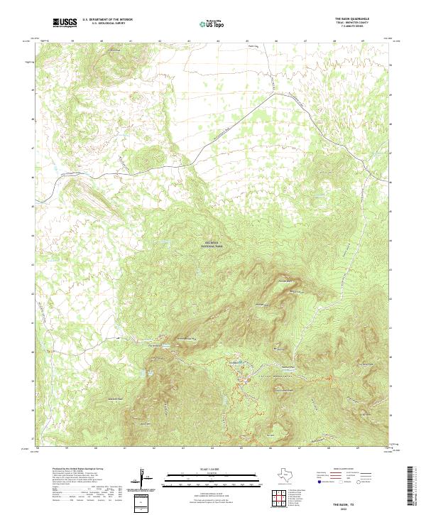 2022 The Basin2022 Print · USGSBig Bend National Park in the early 2020s shows a landscape of high peaks and vital desert water sources. Researchers can trace the network of trails and springs surrounding The Basin, including The Window, Casa Grande Peak, and Gano Springs.
 - 2022 Map of Bone Spring, 2022 Print
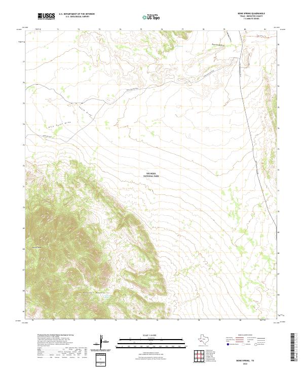 2022 Bone Spring2022 Print · USGSBrewster County's high desert and isolated peaks are captured here in the early twenty-first century. Researchers can trace the rugged topography of the Rosillos Mountains and locate vital water points like Bone Spring and San Juan Spring.
 - 2022 Map of Bandera Mesa North, 2022 Print
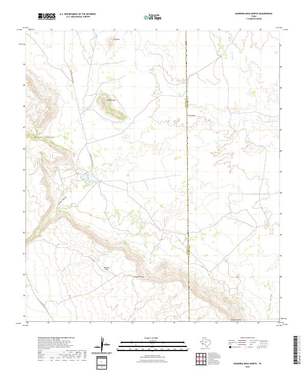 2022 Bandera Mesa North2022 Print · USGSPresidio and Brewster counties are captured here in the 2020s, showing a remote desert landscape dominated by high mesas and seasonal draws. Researchers can trace the rugged access to Fowlkes Ranch Lake or locate landmarks like Needle Peak and Smugglers Gap.
Showing maps 1-25 of 126
Top cities of Brewster County
Frequently asked questions
- What are the different types of historical maps available for Brewster County?
- What is the oldest map of Brewster County?
- Where can I purchase historical maps of Brewster County for my home or office?
- Where can I download high-res historical maps of Brewster County?
- Are there historical topographic maps available for Brewster County?
- Is there historical aerial imagery available for Brewster County?
- Where are historical maps of Brewster County sourced from?