2000s (21st Century) Maps of Brewster County, Texas
Explore 630 historic maps of Brewster County from the 2000s (21st Century). These maps offer a rare glimpse into what life looked like during the 2000s — showing old roads, neighborhoods, homes, and landmarks that have changed or disappeared over time.
Whether you're researching your family's past, planning a metal detecting trip, or studying how Brewster County's landscape evolved across the 2000s, these high-resolution maps are a powerful tool for exploring the history of this region.
- Focus on a specific era: All maps on this page are from the 2000s, giving you a focused view of this time period.
- See what’s changed: Compare century-old streets, trails, and buildings to today's modern landscape using overlays and satellite layers.
- Research with precision: Use these maps for genealogy, historical research, land use analysis, or educational projects.
- View, download, or print: Maps are fully viewable online in high resolution, and can be downloaded or printed for your own records.
Start exploring Brewster County's history through authentic maps from the 2000s. This is your window into the past.
Brewster County, TX maps
(630)- 2010 Map of Hagler Canyon, 2010 Print
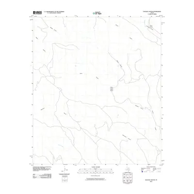 2010 Hagler Canyon2010 Print · USGSTexas high desert ranch land and canyon country are revealed in this 2010 survey of Brewster County. Researchers can trace the intricate drainage systems of Hagler Canyon, Whitely Canyon, and Washboard Canyon across this vast terrain.
 - 2010 Map of Housetop Mountains, 2010 Print
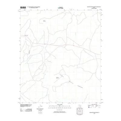 2010 Housetop Mountains2010 Print · USGSBrewster County's high desert landscape was surveyed by the USGS during the first decade of the 2000s, showing a region of dramatic elevation. Trace the path of Highway 90 as it threads between Lemons Gap and the northern slopes of the Housetop Mountains.
 - 2010 Map of Tesnus SE, 2010 Print
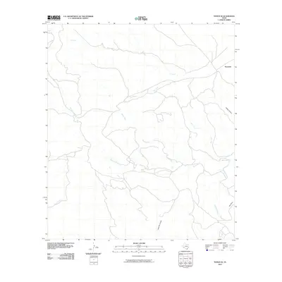 2010 Tesnus SE2010 Print · USGSThe Trans-Pecos region of Brewster County is captured here in the early twenty-first century, showcasing a landscape defined by desert watercourses and canyons. Researchers can trace the paths of Cox Creek, identify the site of Rosenfeld, and explore the geography of Coffee Pot Canyon.
 - 2010 Map of Cave Mesa, 2010 Print
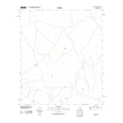 2010 Cave Mesa2010 Print · USGSPecos County's high mesas and dry creek beds are captured here in the early twenty-first century. Researchers can trace the essential water network of the cattle ranching landscape through Burnt House Creek and isolated landmarks like Rooney Tank and Cave Mesa.
 - 2010 Map of Big Brindle Canyon, 2010 Print
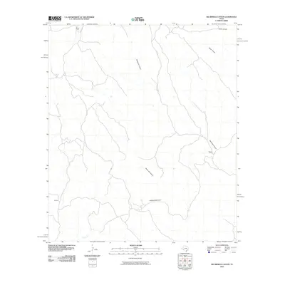 2010 Big Brindle Canyon2010 Print · USGSPecos County ranching land and deep desert drainages are detailed in this survey from the early 2000s. Genealogists and researchers can locate established family outposts like Brown Ranch, Murrah Ranch, and the Ranchito settlement among the reaches of Big Brindle Canyon.
 - 2010 Map of Tesnus NE, 2010 Print
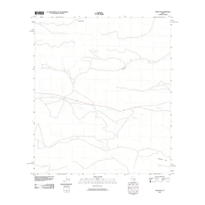 2010 Tesnus NE2010 Print · USGSPecos County in the early twenty-first century reveals an arid landscape defined by deep draws and desert plains. Trace the intermittent watercourses of Downie Draw, Javelina Draw, and the southern expanse of Rattlesnake Flats.
 - 2010 Map of Cap Rock Butte, 2010 Print
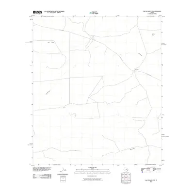 2010 Cap Rock Butte2010 Print · USGSThe ranching country of Pecos County is captured here in the early twenty-first century. Researchers can trace the layout of family lands and water infrastructure at Skevington Ranch, Red Windmill, and along the drainage of Big Canyon.
 - 2010 Map of Longfellow, 2010 Print
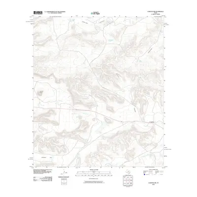 2010 Longfellow2010 Print · USGSThe high desert of Pecos County comes into focus in this late 2010s study of the remote settlement at Longfellow. Trace the network of desert hydrology through Sanderson Creek and Javelina Draw, or locate family landmarks like Panther Peak and Rattlesnake Flats.
 - 2010 Map of Fresno Creek, 2010 Print
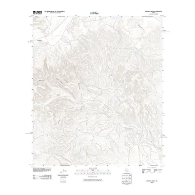 2010 Fresno Creek2010 Print · USGSThe Pecos County desert is captured here in the early twenty-first century, showing the remote settlement of Rosenfeld and the railway corridor. Researchers can trace the intricate drainage of Maxon Creek and Fresno Creek or locate landmarks like High Windmill and Panther Mountain.
 - 2010 Map of Hovey SW, 2010 Print
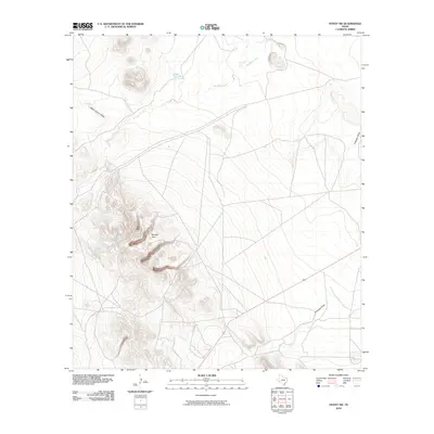 2010 Hovey SW2010 Print · USGSPecos County's arid desert landscape is captured here in the early twenty-first century, showing a region defined by its prominent landmarks and water draws. Researchers can locate the distinctive Squaws Teat peak or trace the drainage of Musquiz Creek and Antelope Draw.
 - 2010 Map of Tesnus, 2010 Print
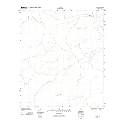 2010 Tesnus2010 Print · USGSBrewster County in the early twenty-first century remains a landscape of high desert peaks and lonely ranch outposts. Local historians can trace the paths of Maxon Creek and Alamo Creek between landmarks like Castle Mountain and the curiously named Hells Half Acre.
 - 2010 Map of Tinaja NE, 2010 Print
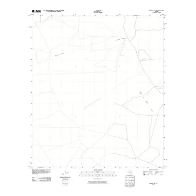 2010 Tinaja NE2010 Print · USGSPresidio County ranch land is captured here in the early twenty-first century, showing the isolated network of roads that define the West Texas plains. Researchers can trace the layout of the One O One Ranch and the expanse of One O One Flat along Antelope Draw.
 - 2010 Map of Dimple Hills, 2010 Print
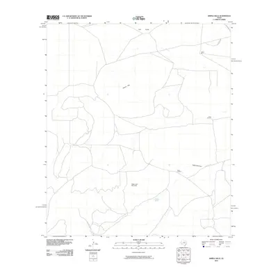 2010 Dimple Hills2010 Print · USGSPecos County's cattle-ranching landscape is mapped here in the early twenty-first century, showing the critical infrastructure of the West Texas high plains. Researchers can trace land use through the League Ranch and vital water points like Gurley Windmill and Eighty Tank.
 - 2010 Map of The Solitario, 2010 Print
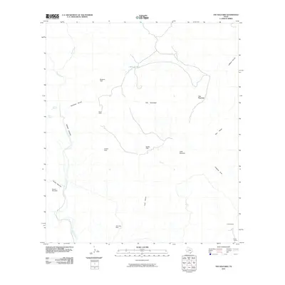 2010 The Solitario2010 Print · USGSPresidio County's remote high desert is captured here in the early twenty-first century, centered on the striking geological formation of the Solitario. Researchers can trace isolated ranching outposts like Tres Papalotes and vital water sources such as Old Log Spring or McGuirks Tanks.
 - 2010 Map of Bandera Mesa South, 2010 Print
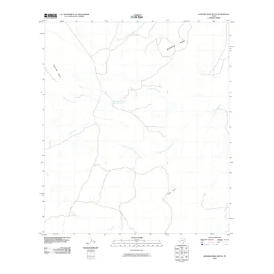 2010 Bandera Mesa South2010 Print · USGSPresidio County's high-desert landscape is captured here in the early twenty-first century, showing a remote region shaped by water and elevation. Trace the winding paths of Alamo de Cesario Creek and Panther Canyon between the heights of Bandera Mesa.
 - 2010 Map of McKinney Mountain, 2010 Print
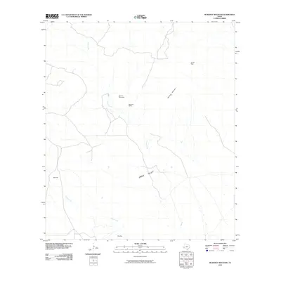 2010 McKinney Mountain2010 Print · USGSPresidio County's high desert peaks and seasonal drainages are documented here in the early twenty-first century. Researchers can trace the local topography through named landmarks like Church Mountain, Turney Peak, and the long sweep of Green Valley.
 - 2010 Map of Candilla Canyon West, 2010 Print
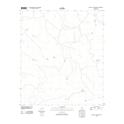 2010 Candilla Canyon West2010 Print · USGSBrewster County ranching life is preserved here in the early twenty-first century, showing a landscape defined by seasonal creeks and isolated outposts. Researchers can trace historic family holdings like Garcia Ranch and Stewart Ranch or locate the remote Indian Wells.
 - 2010 Map of Candilla Canyon East, 2010 Print
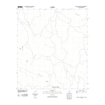 2010 Candilla Canyon East2010 Print · USGSThe Texas-Mexico borderlands along the Rio Grande are captured here in the early twenty-first century. Researchers can trace the rugged drainage networks of Candilla Canyon and Seminole Canyon or follow the remote path of Gatlin Rd.
 - 2010 Map of Paradise Draw, 2010 Print
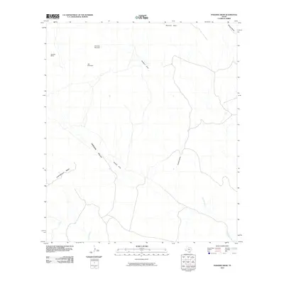 2010 Paradise Draw2010 Print · USGSPresidio County in the early twenty-first century reveals a landscape of high desert drainage and dramatic mesas. Trace the path of Paradise Draw through Paradise Valley or locate landmarks like Hat Mountain and Cartwright Mesa.
 - 2010 Map of Bandera Mesa North, 2010 Print
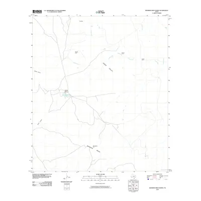 2010 Bandera Mesa North2010 Print · USGSPresidio County's high desert and isolated ranching culture are visible in this 2010 survey of the Big Bend region. Genealogists and historians can locate family-named outposts like Rooney Ranch and Cotters Ranch or trace the geography of Smugglers Gap.
 - 2010 Map of Agua Fria Mountain, 2010 Print
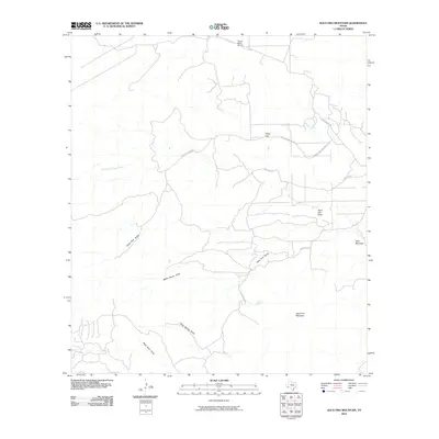 2010 Agua Fria Mountain2010 Print · USGSBrewster County's high desert reaches are documented here in the early twenty-first century, showing a remote landscape of ranching and aviation. Researchers can trace the paths of Alamo de Cesario Creek and locate landmarks like Agua Fria Spring and Fizzle Flat.
 - 2010 Map of Yellow House Peak, 2010 Print
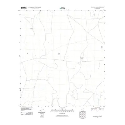 2010 Yellow House Peak2010 Print · USGSBrewster County's high desert reaches are captured here in the early twenty-first century, showing a landscape of isolated ranching outposts and prominent peaks. Researchers can locate remote sites like Chambers Camp or trace the desert drainages of Bear Creek and Guayule Creek.
 - 2010 Map of Pine Mountain East, 2010 Print
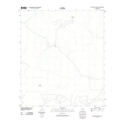 2010 Pine Mountain East2010 Print · USGSThe West Texas desert south of Marathon is captured here in the early 2000s, showing a landscape defined by ranching and rugged drainages. Trace the isolated Jones Ranch and the winding beds of San Francisco Creek and Guayule Creek near Pine Mountain.
 - 2010 Map of Long Hills, 2010 Print
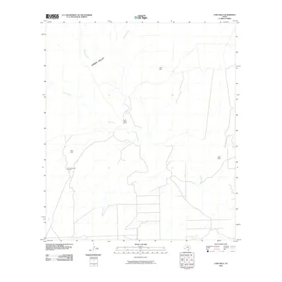 2010 Long Hills2010 Print · USGSBrewster County's arid backlands are captured in this early twenty-first-century study of the southern Texas desert. Researchers can locate remote ranching landmarks like Hammond Ranch and Burnt House Camp along the winding Terlingua Creek.
 - 2010 Map of San Francisco Shutups, 2010 Print
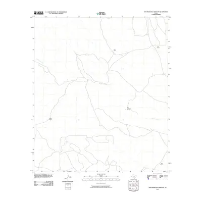 2010 San Francisco Shutups2010 Print · USGSBrewster County's isolated ranching country is captured here during the first decade of the millennium. Researchers can locate remote family-named homesteads such as Clark Ranch and Martin Ranch near the winding San Francisco Creek.
Showing maps 1-25 of 630
Top cities of Brewster County
Frequently asked questions
- What are the different types of historical maps available for Brewster County?
- What is the oldest map of Brewster County?
- Where can I purchase historical maps of Brewster County for my home or office?
- Where can I download high-res historical maps of Brewster County?
- Are there historical topographic maps available for Brewster County?
- Is there historical aerial imagery available for Brewster County?
- Where are historical maps of Brewster County sourced from?