Old Maps of Childress, Texas for Genealogy
Trace your family roots with 15 historic maps of Childress. These high-res maps reveal old neighborhoods, homesites, landmarks, and streets — helping you uncover where your ancestors lived and how the area evolved over time.
- Explore historic neighborhoods: Identify where your relatives may have lived in the 1800s or 1900s.
- Compare maps over time: Trace the changes in streets, buildings, and landmarks for multi-generational research.
- Perfect for genealogy & ancestry research: Used by family historians and researchers to map out lineage and migration.
These maps are an incredible resource for exploring your personal connection to Childress's past.
Childress, TX maps
(15)- 1954 Map of Plainview, 1966 Print
 1954 Plainview1966 Print · USGSThe Texas Panhandle and the rugged Caprock Escarpment appear in detail as the region's agricultural and rail networks reached their mid-century peak. Trace family roots and old land patterns through the canyons and plains near Plainview, Palo Duro State Park, and Childress.3 unique versions available
 - 1958 Map of Plainview
 1958 Plainview1958 Print · USGSThe High Plains and Caprock Escarpment meet in the late fifties, showcasing the ranching and rail networks of the Texas Panhandle. Trace family roots and vanished stops along the Panhandle and Santa Fe railroad through Plainview, Silverton, and Matador.
 - 1967 Map of Childress, 1969 Print
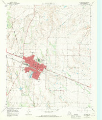 1967 Childress1969 Print · USGSChildress flourished as a railroad and highway crossroads in the Texas Panhandle during the late sixties. Genealogists and historians can locate specific neighborhood landmarks like East Ward Sch, the local Cemetery, and the Fort Worth and Denver line.2 unique versions available
 - 1967 Map of Carey, 1970 Print
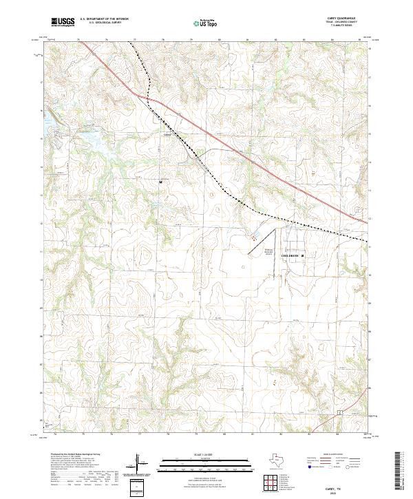
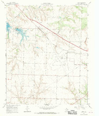 1967 Carey1970 Print · USGSPanhandle ranching and rail travel intersect in Childress County during the late sixties. Genealogists and local historians can trace the Carey settlement, the Carey Cem, and mid-century landmarks like the Drive-in Theater and Baylor Lake.2 unique versions available
 - 1986 Map of Childress
 1986 Childress1986 Print · USGSTexas ranching and conservation lands come to life in this mid-eighties survey of the Pease River country. Genealogists and historians can trace family roots through Matador, find the Matador Cem, or locate the Burlington Northern line through Childress.2 unique versions available
 - 2010 Map of Childress, 2010 Print
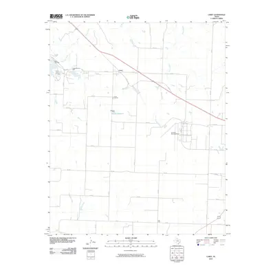
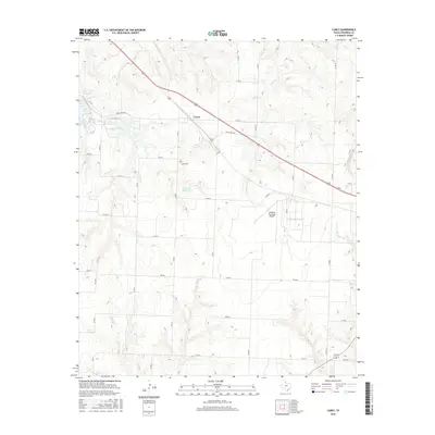
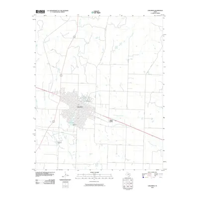 2010 Childress2010 Print · USGSCovers Childress, including Childress County, United States, and other nearby areas
 - 2010 Map of Carey, 2010 Print
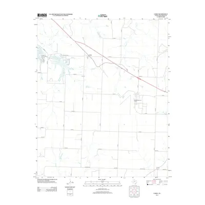
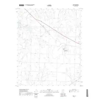
 2010 Carey2010 Print · USGSCovers Childress, including Carey, Childress County, and other nearby areas
 - 2012 Map of Carey, 2012 Print
 2012 Carey2012 Print · USGSCovers Childress, including Carey, Childress County, and other nearby areas
 - 2012 Map of Childress, 2012 Print
 2012 Childress2012 Print · USGSCovers Childress, including Childress County, United States, and other nearby areas
 - 2016 Map of Carey, 2016 Print
 2016 Carey2016 Print · USGSCovers Childress, including Carey, Childress County, and other nearby areas
 - 2016 Map of Childress, 2016 Print
 2016 Childress2016 Print · USGSCovers Childress, including Childress County, United States, and other nearby areas
 - 2019 Map of Childress, 2019 Print
 2019 Childress2019 Print · USGSCovers Childress, including Childress County, United States, and other nearby areas
 - 2019 Map of Carey, 2019 Print
 2019 Carey2019 Print · USGSCovers Childress, including Carey, Childress County, and other nearby areas
 - 2022 Map of Carey, 2022 Print
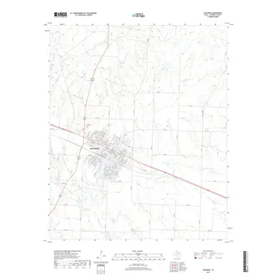
 2022 Carey2022 Print · USGSChildress and the surrounding Texas Panhandle ranch lands are captured here in the early twenty-first century. Genealogists and local historians can locate family landmarks like Carey Cemetery, Tell Methodist Cemetery, and Williams Reservoir.
 - 2022 Map of Childress, 2022 Print
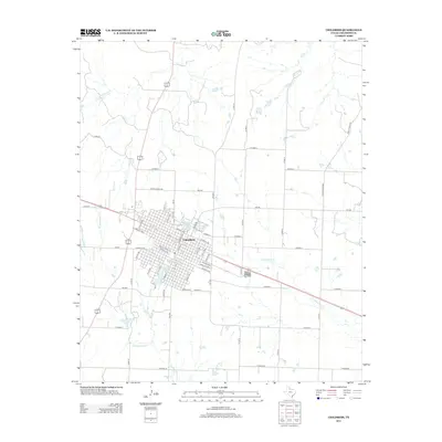
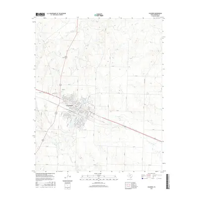
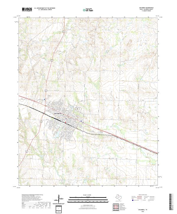 2022 Childress2022 Print · USGSThe Texas Panhandle's high plains come into focus in this modern survey centered on the city of Childress. Researchers can trace the civic heart of the county at the Childress County Courthouse and locate family burial sites at Childress Cem.
End of results
Showing maps 1-15 of 15
Top cities near Childress
Frequently asked questions
- What are the different types of historical maps available for Childress?
- What is the oldest map of Childress?
- Where can I purchase historical maps of Childress for my home or office?
- Where can I download high-res historical maps of Childress?
- Are there historical topographic maps available for Childress?
- Is there historical aerial imagery available for Childress?
- Where are historical maps of Childress sourced from?