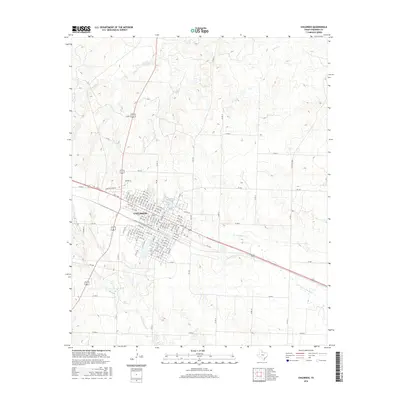
2016 Map of Childress
USGS Topo · Published 2016About this map
Childress stands as the central hub of this Panhandle landscape, where a dense grid of numbered streets and alphabetical avenues meets the intersecting paths of major regional thoroughfares. The town's layout is defined by its core residential and commercial blocks, extending toward recreational areas like the Country Club Dr district and the waters of Park Lake. Beyond the city limits, the terrain transition is marked by the winding courses of Conkline Cr and Whites Cr to the north, while Scatterbranch Cr and Lake Scott drain the southern reaches. These drainage systems, including N Groesbeck Cr, reveal the subtle topographical shifts of the Texas plains, where small cattle tanks and creek beds break up the agricultural expanse. The network of county roads like Co Rd S and farm-to-market routes such as Fm 3181 underscores the connectivity between the town center and the surrounding rural infrastructure.
Find a feature on this map
113 named features on this map. Tap any name to fly to it.
Don’t see what you’re looking for? This feature index may not catch every label — zoom into the map to look around manually.
Map Details
Editions of this 2016 Childress Map
This is the sole edition of this map. No revisions or reprints were ever made.
Other maps of this area

1954 · Plainview
USGS Topo · 1:250,000

1958 · Plainview
USGS Topo · 1:250,000

1960 · Loco
USGS Topo · 1:62,500

1961 · Estelline
USGS Topo · 1:62,500

1967 · Buckle L Ranch
USGS Topo · 1:24,000

1967 · Hell Roaring Creek
USGS Topo · 1:24,000

1967 · Kirkland South
USGS Topo · 1:24,000

1967 · Kirkland North
USGS Topo · 1:24,000

1967 · Childress
USGS Topo · 1:24,000

1967 · Carey
USGS Topo · 1:24,000