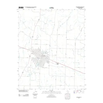
2012 Map of Childress
USGS Topo · Published 2012About this map
Childress sits as a significant regional hub in the Texas Panhandle, defined by its organized grid and intersection of key transportation routes. This 2012 survey reveals the city's established footprint, where arterial roads like Avenue C NW and S Main St anchor the local geography. The surrounding landscape is etched by seasonal watercourses, including Scatterbranch Cr to the south and N Groesbeck Cr to the east. Local recreation and water management are concentrated at Park Lake and Lake Scott near the northern city limits. The map highlights a transition between the concentrated urban development of the town center and the expansive network of county and farm-to-market roads, such as Ranch Road 3181 and FM-2530, which service the agricultural outskirts of Childress County.
Find a feature on this map
55 named features on this map. Tap any name to fly to it.
Don’t see what you’re looking for? This feature index may not catch every label — zoom into the map to look around manually.
Map Details
Editions of this 2012 Childress Map
This is the sole edition of this map. No revisions or reprints were ever made.
Other maps of this area

1954 · Plainview
USGS Topo · 1:250,000

1958 · Plainview
USGS Topo · 1:250,000

1960 · Loco
USGS Topo · 1:62,500

1961 · Estelline
USGS Topo · 1:62,500

1967 · Buckle L Ranch
USGS Topo · 1:24,000

1967 · Hell Roaring Creek
USGS Topo · 1:24,000

1967 · Kirkland South
USGS Topo · 1:24,000

1967 · Kirkland North
USGS Topo · 1:24,000

1967 · Childress
USGS Topo · 1:24,000

1967 · Carey
USGS Topo · 1:24,000