2010s Maps of Clay County, Texas
Explore 136 historic maps of Clay County from the 2010s. These maps offer a rare glimpse into what life looked like during the 2010s — showing old roads, neighborhoods, homes, and landmarks that have changed or disappeared over time.
Whether you're researching your family's past, planning a metal detecting trip, or studying how Clay County's landscape evolved across the 2010s, these high-resolution maps are a powerful tool for exploring the history of this region.
- Focus on a specific era: All maps on this page are from the 2010s, giving you a focused view of this time period.
- See what’s changed: Compare century-old streets, trails, and buildings to today's modern landscape using overlays and satellite layers.
- Research with precision: Use these maps for genealogy, historical research, land use analysis, or educational projects.
- View, download, or print: Maps are fully viewable online in high resolution, and can be downloaded or printed for your own records.
Start exploring Clay County's history through authentic maps from the 2010s. This is your window into the past.
Clay County, TX maps
(136)- 2010 Map of Henrietta, 2010 Print
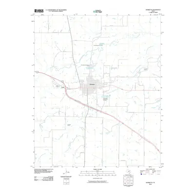 2010 Henrietta2010 Print · USGSClay County at the start of the 21st century reveals a landscape defined by its waterways and the enduring layout of the county seat. Genealogists and historians can trace family-named routes and important sites like the Cambridge Cemetery, Pierce Airport, and the Little Wichita River.
 - 2010 Map of Hurnville, 2010 Print
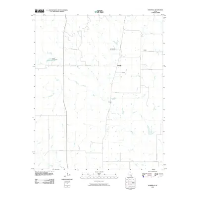 2010 Hurnville2010 Print · USGSNear the turn of the millennium, this Clay County landscape remained a quiet ranching community centered on the settlement of Hurnville. Local historians can trace family land ties along Kafer Rd, visit the Hurnville Cemetery, or locate the waters of Petrolia Field Lake.
 - 2010 Map of Jolly, 2010 Print
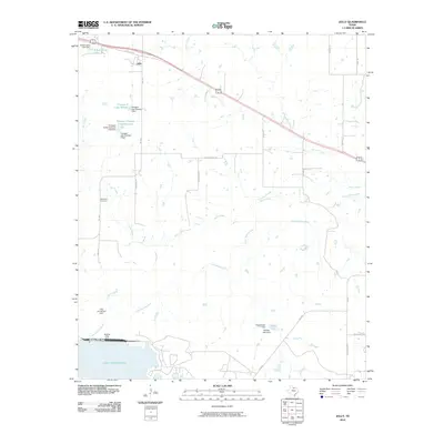 2010 Jolly2010 Print · USGSClay County ranchlands and reservoirs are captured here in the early twenty-first century as the landscape transitioned toward recreation and modern infrastructure. Researchers can trace family history at White Hill Cemetery or locate old waterworks like Halsell Lake Dam and the Triangle T Cattle Company Lake.
 - 2010 Map of Antelope, 2010 Print
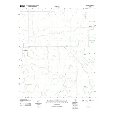 2010 Antelope2010 Print · USGSThe rural landscape of Jack County appears here in the early twenty-first century, centered on the historic crossroads of Antelope. Genealogists and researchers can trace local family landmarks at the Shannon Cemetery or explore the drainage of the West Fork Trinity River.
 - 2010 Map of Scotland SE, 2010 Print
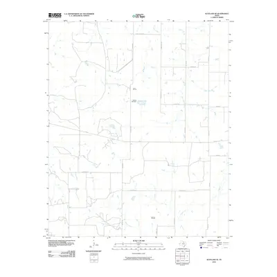 2010 Scotland SE2010 Print · USGSClay County's rural oil and ranching lands are captured here during the first decade of the 2000s. Researchers can trace local energy history and family landholdings near the Lazy B Oil Field, Scaling Lake, and Gasoline Aly.
 - 2010 Map of Darnell Branch, 2010 Print
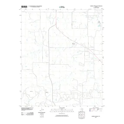 2010 Darnell Branch2010 Print · USGSYoung County's oil and ranching country comes into focus in this early twenty-first-century survey of the north Texas plains. Researchers can trace local energy history at the Prideaux Oil Field or navigate the terrain using landmarks like Gap Mountain and Spy Knob.
 - 2010 Map of Stoneburg, 2010 Print
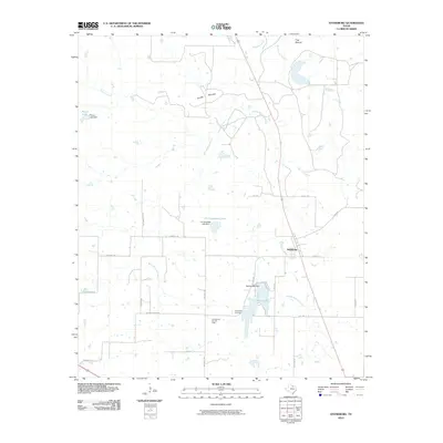 2010 Stoneburg2010 Print · USGSStoneburg and the surrounding Montague County ranch lands are captured here at the start of the decade. Genealogists and local historians can locate Hopewell Cemetery and trace the development of the Underwood Ray Oil Field alongside Bowie Lake.
 - 2010 Map of Deer Creek, 2010 Print
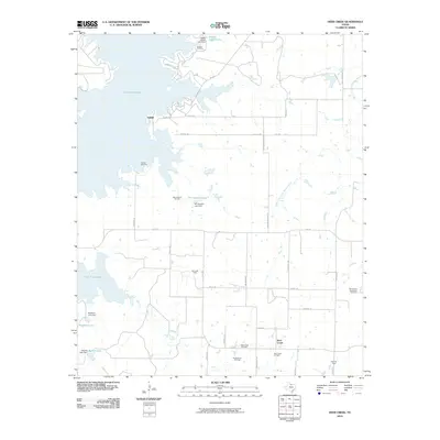 2010 Deer Creek2010 Print · USGSClay County's ranching and oil country is captured here during the early twenty-first century, centered on the settlements of Halsell and Deer Creek. Researchers can trace local lineage and land use through the Halsell Cemetery, numerous family-named lakes, and extensive petroleum works like the Acme Oil Field.
 - 2010 Map of Bellevue, 2010 Print
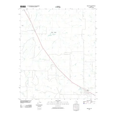 2010 Bellevue2010 Print · USGSClay County ranch land is captured here in the early twenty-first century, centered on the community of Bellevue. Researchers can trace the water infrastructure of Hapgood Lake and Dickson Lake or locate family history at the Cullers Cemetery.
 - 2010 Map of Selma, 2010 Print
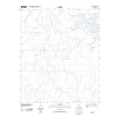 2010 Selma2010 Print · USGSMontague County, Texas, is captured here in the early twenty-first century as rural homesteads and oil interests occupy the prairie around Lake Amon G Carter. Genealogists and local historians can locate the Selma Cemetery, Crafton Cemetery, and the Bowie Southwest Oil Field.
 - 2010 Map of Brushy Mound, 2010 Print
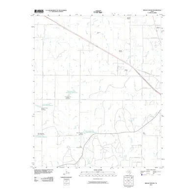 2010 Brushy Mound2010 Print · USGSMontague County at the turn of the decade is a landscape of cattle ranches, oil fields, and early family burial grounds. Local historians can trace property boundaries and lineages near McDonald Cemetery, the Anson Oil Field, and Dead Ox Mound.
 - 2010 Map of Joy, 2010 Print
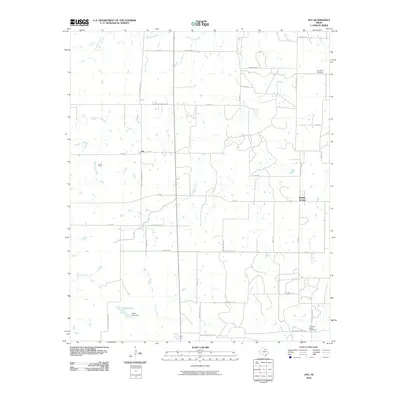 2010 Joy2010 Print · USGSThis Clay County landscape in the early twenty-first century reveals a rural Texas environment shaped by petroleum and ranching. Genealogists and historians can locate family burial sites at Friendship Cemetery and trace land holdings near Joy or the Joy Oil Field.
 - 2010 Map of Bluegrove, 2010 Print
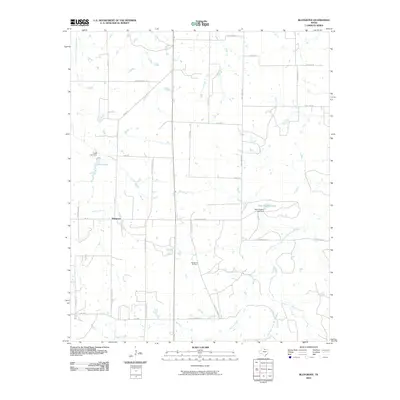 2010 Bluegrove2010 Print · USGSClay County at the start of the 21st century remains a landscape of ranching roads and oil extraction. Genealogists and local historians can trace family-named routes like Sanzenbacher Rd and find the location of the Bluegrove Oil Field.
 - 2010 Map of Postoak, 2010 Print
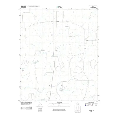 2010 Postoak2010 Print · USGSJack County's rural landscape is captured here in the early twenty-first century as it appeared before further modern development. Genealogists can trace family footprints through the Prospect Cemetery, Postoak Cemetery, and the hills near Bear Mountain.
 - 2010 Map of Newport, 2010 Print
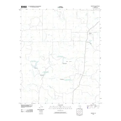 2010 Newport2010 Print · USGSThe rural communities of Clay County appear here in the early twenty-first century, showcasing a landscape of managed watersheds and prairie roads. Genealogists and local historians can trace family roots at Newport Cemetery or locate the site of Truce and Gray Lake.
 - 2010 Map of Vashti, 2010 Print
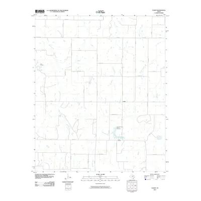 2010 Vashti2010 Print · USGSThis rural portion of Clay County reflects North Texas life in the early twenty-first century, centered on the settlement of Vashti. Researchers can trace local genealogy at Liberty Cemetery and map the regional water infrastructure near Scott Lake and Prairie Branch.
 - 2010 Map of Windthorst, 2010 Print
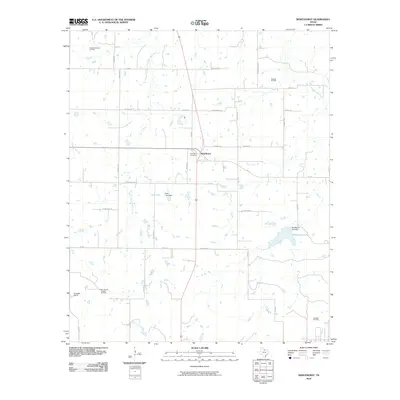 2010 Windthorst2010 Print · USGSArcher County ranching and energy production are in focus during the early twenty-first century. Researchers can trace the layout of the Bridwell Ranch, locate family plots at Saint Mary Cemetery, and map the extent of the Archer County Regular Oil Field.
 - 2010 Map of Scotland, 2010 Print
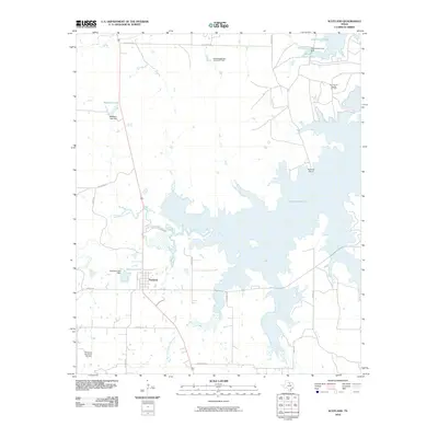 2010 Scotland2010 Print · USGSTexas oil and water management define this Archer County territory during the early 2000s. Researchers can locate family landmarks like Birdwell Ranch and trace petroleum operations at the Southvogtsberger- Strawn Oil Field or Northwest Windthorst Oil Field.
 - 2010 Map of Petrolia, 2010 Print
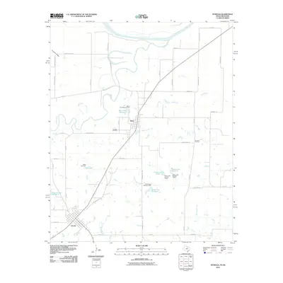 2010 Petrolia2010 Print · USGSClay County at the turn of the decade is defined by its strategic position between the Red River and Wichita River. Researchers can trace local lineage and land use through the Riverside Cemetery, the Byers City Reservoir, and the paths of Old Fort Sill Rd.
 - 2010 Map of Ringgold, 2010 Print
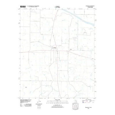 2010 Ringgold2010 Print · USGSThe northern edge of Montague County comes into focus in the early 2000s, centered on the crossroads at Ringgold. Genealogists and local historians can trace family plots at Ringgold Cemetery or explore the rural reach of Worsham Oil Field and Beaver Creek.
 - 2010 Map of Hooper, 2010 Print
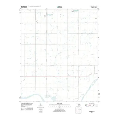 2010 Hooper2010 Print · USGSThe Oklahoma-Texas borderlands near Hooper appear here in the early twenty-first century as a quiet agricultural landscape shaped by the Red River. Genealogists and local historians can locate the Hastings Cemetery and trace the paths of Whiskey Creek and Lone Star Rd across the county grid.
 - 2010 Map of Taylor, 2010 Print
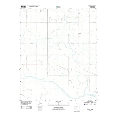 2010 Taylor2010 Print · USGSThe Oklahoma-Texas borderlands along the Red River are captured here in the early twenty-first century. Genealogists and local historians can trace the rural landscape around Taylor and the legacy of local energy production at the Cache Creek Oil Field.
 - 2010 Map of Waurika West, 2010 Print
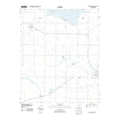 2010 Waurika West2010 Print · USGSJefferson County, Oklahoma, is documented here in the early twenty-first century as a landscape of managed waterways and rural crossroads. Researchers can locate the Waurika Cemetery and Jefferson County Airport, or trace the winding course of the Red River and Beaver Creek.
 - 2010 Map of Irving, 2010 Print
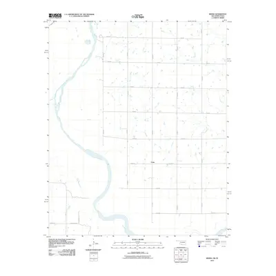 2010 Irving2010 Print · USGSThe Oklahoma-Texas borderlands along the Red River are captured here at the start of the millennium. Genealogists can trace family-named routes and rural settlements like Irving, Burrus Rd, and F Schaffner Rd.
 - 2010 Map of Thornberry, 2010 Print
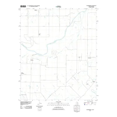 2010 Thornberry2010 Print · USGSNorth Texas and Oklahoma meet along the Red River in the early twenty-first century, where rural communities and military aviation overlap. Trace local heritage through the Thornberry Oil Field, the Cashion Community, and the northern reaches of Sheppard Air Force Base.
Showing maps 1-25 of 136
Top cities of Clay County
- Henrietta historical maps
- Petrolia historical maps
- Byers historical maps
- Bellevue historical maps
- Dean historical maps
- Jolly historical maps
Frequently asked questions
- What are the different types of historical maps available for Clay County?
- What is the oldest map of Clay County?
- Where can I purchase historical maps of Clay County for my home or office?
- Where can I download high-res historical maps of Clay County?
- Are there historical topographic maps available for Clay County?
- Is there historical aerial imagery available for Clay County?
- Where are historical maps of Clay County sourced from?