2000s (21st Century) Maps of Collin County, Texas
Explore 120 historic maps of Collin County from the 2000s (21st Century). These maps offer a rare glimpse into what life looked like during the 2000s — showing old roads, neighborhoods, homes, and landmarks that have changed or disappeared over time.
Whether you're researching your family's past, planning a metal detecting trip, or studying how Collin County's landscape evolved across the 2000s, these high-resolution maps are a powerful tool for exploring the history of this region.
- Focus on a specific era: All maps on this page are from the 2000s, giving you a focused view of this time period.
- See what’s changed: Compare century-old streets, trails, and buildings to today's modern landscape using overlays and satellite layers.
- Research with precision: Use these maps for genealogy, historical research, land use analysis, or educational projects.
- View, download, or print: Maps are fully viewable online in high resolution, and can be downloaded or printed for your own records.
Start exploring Collin County's history through authentic maps from the 2000s. This is your window into the past.
Collin County, TX maps
(120)- 2010 Map of Lavon, 2010 Print
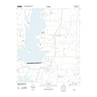 2010 Lavon2010 Print · USGSCollin County's landscape is defined by the massive reservoir at the start of the 2010s, as rural farmland meets lakeside residential growth. Researchers can locate several historic burial sites like Backbone Cemetery and Thompson Cemetery or trace the early paths of Copeville and Lavon.
 - 2010 Map of Marilee, 2010 Print
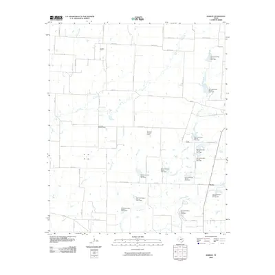 2010 Marilee2010 Print · USGSThe rural landscape near Marilee was defined by a sophisticated water management system by the early 2000s. Researchers can trace land use through its twelve conservation dams, family-named sites like Bridges Field, and historical burials at Gunter Cemetery.
 - 2010 Map of Farmersville, 2010 Print
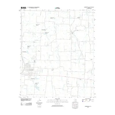 2010 Farmersville2010 Print · USGSCollin County farmland and small-town Texas life are documented here as they appeared in the early 21st century. Researchers can trace family roots through Merit Cemetery and Tatum Cemetery or locate landmarks like the Highmound Park Training Track.
 - 2010 Map of Van Alstyne, 2010 Print
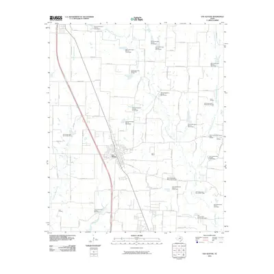 2010 Van Alstyne2010 Print · USGSVan Alstyne and its surrounding rural landscapes are captured here at the start of the 2010s. Researchers can locate family landmarks like Baker Cemetery or Morris Cemetery and trace the many water management sites along Hurricane Creek and Sister Grove Creek.
 - 2010 Map of Celina, 2010 Print
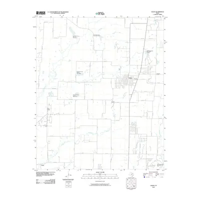 2010 Celina2010 Print · USGSCelina was undergoing a period of rapid growth and modern water management during the early twenty-first century. Researchers can trace family history through Old Union Cemetery and Old Celina Cemetery or explore the rural outskirts near Parvin and Doe Branch.
 - 2010 Map of Royse City, 2010 Print
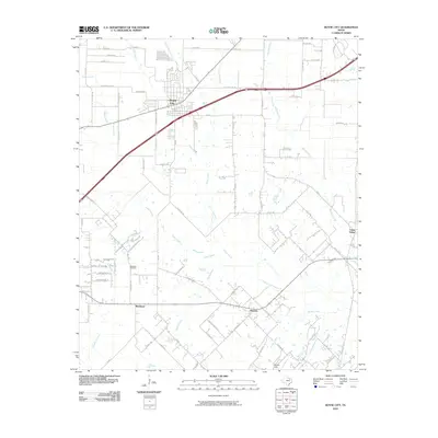 2010 Royse City2010 Print · USGSThe growing community of Royse City and the surrounding rural landscape come into focus in the early twenty-first century. Genealogists and local researchers can trace the roads to the Blackland Cemetery or explore small settlements like Munson and Union Valley.
 - 2010 Map of Josephine, 2010 Print
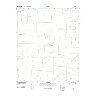 2010 Josephine2010 Print · USGSThis North Texas landscape near the start of the 21st century reveals a rural network of farming communities and managed waterways. Genealogists and local historians can trace family sites at McMinn Cemetery and Needmore Cemetery or explore the creekside settlements of Josephine and Burrow.
 - 2010 Map of Gunter, 2010 Print
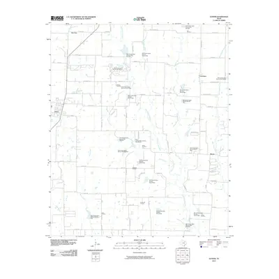 2010 Gunter2010 Print · USGSNorth Texas at the start of the second decade of the millennium shows a landscape shaped by water management and rural heritage. Researchers can locate numerous family burial sites like Whitaker Cemetery and Smallwood Cemetery or trace the early paths of Little Elm Creek and Clarks Branch.
 - 2010 Map of Rockwall, 2010 Print
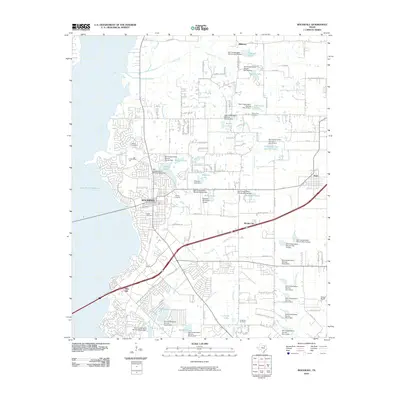 2010 Rockwall2010 Print · USGSRockwall and its surrounding lakesides are shown during a period of rapid development and water management in the early twenty-first century. Researchers can locate family landmarks like Parker Cemetery or trace the early boundaries of Fate and Mobile City.
 - 2010 Map of Rowlett, 2010 Print
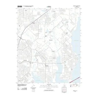 2010 Rowlett2010 Print · USGSThe North Texas suburbs meet the waters of Lake Ray Hubbard in this 2010 survey of the area north of Dallas. Trace the changing landscape through numerous historic burial sites like McShan Cemetery, Big A Cemetery, and the Rowlett Post Office.
 - 2010 Map of Garland, 2010 Print
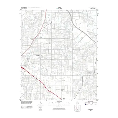 2010 Garland2010 Print · USGSThe northern Dallas suburbs reached a point of high-density integration during this era, bridging the gaps between once-distinct communities. Researchers can trace family history through numerous local sites including Routh Cemetery, McCree Cemetery, and the old enclave of Buckingham.
 - 2010 Map of Anna, 2010 Print
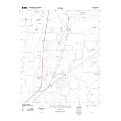 2010 Anna2010 Print · USGSThe growing communities of Anna and Melissa are captured in the first decade of the millennium. Local historians can trace family roots at Alexander Cemetery or Brinlee Cemetery and study the complex water network of the East Fork Trinity River.
 - 2010 Map of Culleoka, 2010 Print
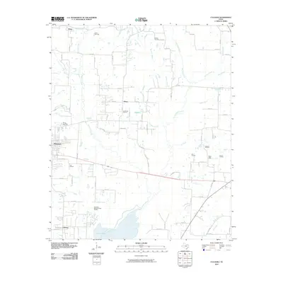 2010 Culleoka2010 Print · USGSNorth Texas in the early twenty-first century is captured here as the growing community of Princeton meets the rural shoreline of Lavon Lake. Genealogists and local historians can trace family plots at Verona Cemetery or Houston Cemetery.
 - 2010 Map of Weston, 2010 Print
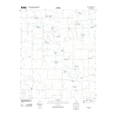 2010 Weston2010 Print · USGSNorth Texas rural life and water management are front and center in this 2010 survey of the area around Weston. Researchers can locate several historic burial sites like Corinth Cemetery and Horn Cemetery or trace the drainage of the East Fork Trinity River.
 - 2010 Map of Wylie, 2010 Print
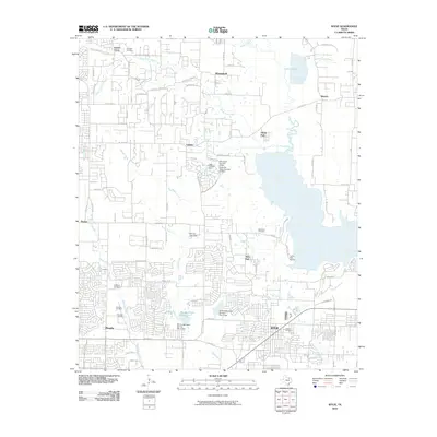 2010 Wylie2010 Print · USGSCollin County's suburban transformation is on full display here in the early 2000s as residential growth meets the shores of Lavon Lake. Family historians can locate several historic burial grounds, including the Fitzhugh Cemetery, Moulden Cemetery, and Hughes Cemetery.
 - 2010 Map of Pilot Grove, 2010 Print
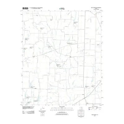 2010 Pilot Grove2010 Print · USGSGrayson County's rural landscape is preserved here during a period of agricultural stability and local water management. Researchers can locate family sites near Desert Cemetery or trace old routes connecting Pilot Grove and Sedalia.
 - 2010 Map of Hebron, 2010 Print
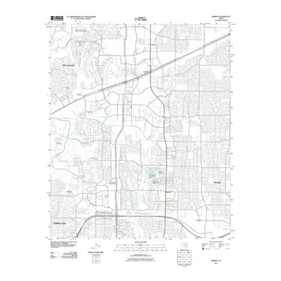 2010 Hebron2010 Print · USGSThe suburban landscape north of Dallas is captured here at a moment of significant growth and modernization. Researchers can trace the heritage of local families at Bridges Cemetery and Baccus Cemetery or locate landmarks like Air Park-Dallas and Hebron.
 - 2010 Map of Frisco, 2010 Print
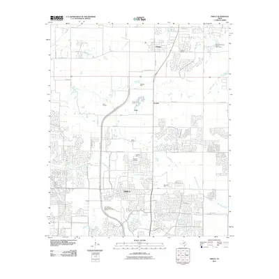 2010 Frisco2010 Print · USGSThe northern Collin County prairie was undergoing rapid expansion when this survey was conducted. Trace the evolving suburban landscape around Frisco and Prosper, or locate family landmarks like Smith Cemetery and the Drewery Airport.
 - 2010 Map of Pike, 2010 Print
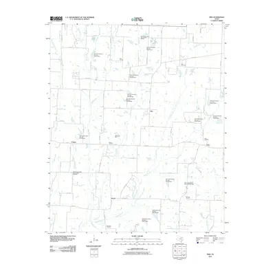 2010 Pike2010 Print · USGSFannin County rural life is preserved here at the start of the 2010s, showing a landscape of family cemeteries and small crossroads settlements. Genealogists can locate Fuller Cemetery, Richard Cemetery, and the community of Frognot.
 - 2010 Map of Addison, 2010 Print
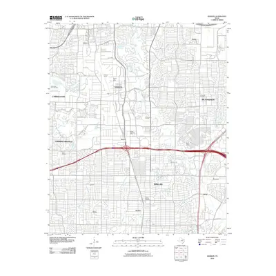 2010 Addison2010 Print · USGSNorth Dallas and Addison are shown at a peak of suburban expansion in the early twenty-first century. Genealogists and local historians can pinpoint long-standing landmarks like White Rock Cemetery or trace the early foundations of Renner and Meaders.
 - 2010 Map of McKinney West, 2010 Print
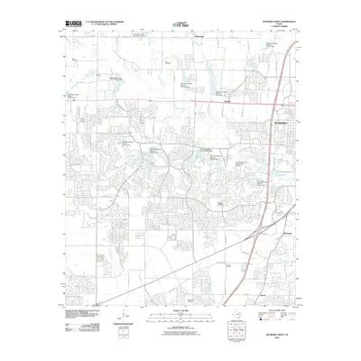 2010 McKinney West2010 Print · USGSThe McKinney area was undergoing a significant suburban shift during the 2010s as traditional farmland integrated with new residential grids. Genealogists can locate several historic burial grounds like Hunt Cemetery and Ware Cemetery, while tracing the rural roots of Bloomdale and Buckner.
 - 2010 Map of Plano, 2010 Print
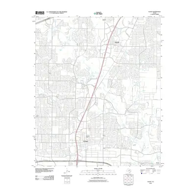 2010 Plano2010 Print · USGSCollin County enters a period of modern suburban density in this 2010 survey of the Plano and Allen corridor. Researchers can pinpoint long-standing landmarks like Bethany Cemetery and the Downtown Plano Post Office alongside newer developments near Rowlett Creek.
 - 2010 Map of McKinney East, 2010 Print
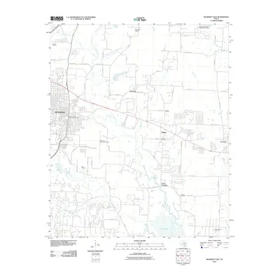 2010 McKinney East2010 Print · USGSCollin County during a period of rapid suburban transition shows the eastern expansion of McKinney toward the East Fork Trinity River. Genealogists can locate several local burial sites like Milligan Cemetery and Higgins Cemetery near the shores of Lavon Lake.
 - 2010 Map of Blue Ridge, 2010 Print
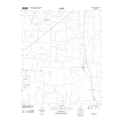 2010 Blue Ridge2010 Print · USGSCollin County's agricultural heartland is documented here in the early twenty-first century, showing the enduring layout of rural towns and farm-to-market roads. Genealogists can locate several family landmarks and burial sites, from Coleman Cemetery and Old Grounds Cemetery to the small community of Snow Hill.
 - 2012 Map of Addison, 2012 Print
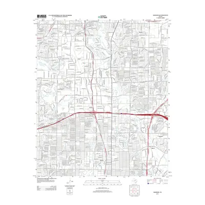 2012 Addison2012 Print · USGSNorth Dallas and its thriving suburban corridors are shown here during a period of rapid development and urban infill. Local historians can trace the evolution of communities like Renner and Inwood while locating historic sites like Marsh Cem and the Addison Airport.
Showing maps 1-25 of 120
Top cities of Collin County
- Plano historical maps
- McKinney historical maps
- Allen historical maps
- Wylie historical maps
- Murphy historical maps
- Anna historical maps
See more
Frequently asked questions
- What are the different types of historical maps available for Collin County?
- What is the oldest map of Collin County?
- Where can I purchase historical maps of Collin County for my home or office?
- Where can I download high-res historical maps of Collin County?
- Are there historical topographic maps available for Collin County?
- Is there historical aerial imagery available for Collin County?
- Where are historical maps of Collin County sourced from?