Old Maps of Farmersville, Texas for Genealogy
Trace your family roots with 16 historic maps of Farmersville. These high-res maps reveal old neighborhoods, homesites, landmarks, and streets — helping you uncover where your ancestors lived and how the area evolved over time.
- Explore historic neighborhoods: Identify where your relatives may have lived in the 1800s or 1900s.
- Compare maps over time: Trace the changes in streets, buildings, and landmarks for multi-generational research.
- Perfect for genealogy & ancestry research: Used by family historians and researchers to map out lineage and migration.
These maps are an incredible resource for exploring your personal connection to Farmersville's past.
Farmersville, TX maps
(16)- 1930 Map of Farmersville
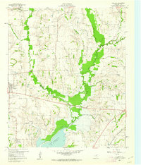
 1930 Farmersville1930 Print · USGSSoutheastern Collin County in the early twentieth century shows a landscape of rail-connected towns and rural school districts. Genealogists can locate family landmarks like Stringtown, Cairo Sch, and BUMPASS BRIDGE along the East Fork Trinity River.2 unique versions available
 - 1954 Map of Sherman, 1964 Print
 1954 Sherman1964 Print · USGSThe Red River valley and North Texas plains are captured here in the mid-fifties, showing the region as new reservoirs like Lake Texoma and Lavon Reservoir reshaped the land. Genealogists can trace family roots through specific local landmarks like Courtney P O, Pilot Grove Sch, and New Hope Ch.2 unique versions available
 - 1958 Map of Sherman, 1959 Print
 1958 Sherman1959 Print · USGSNorth Texas and Southern Oklahoma were undergoing significant development in the late fifties as the Red River Valley transit networks matured. Researchers can trace historic family-named locations such as Saddler Bend, the grounds of Perrin AFB, and early shoreline developments at Lake Texoma.
 - 1960 Map of Culleoka, 1962 Print
 1960 Culleoka1962 Print · USGSCollin County was a landscape of small farming communities and winding creeks in the years following the creation of Lavon Lake. Researchers can trace ancestral locations through numerous rural landmarks like Verona Ch, Henslee Chapel, and the old Gulf Colorado and Santa Fe railroad line.3 unique versions available
 - 1962 Map of Farmersville, 1965 Print
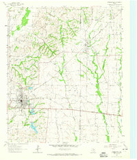 1962 Farmersville1965 Print · USGSFarmersville and the surrounding Collin County prairie are captured here in the early sixties as a thriving rail and agricultural center. Researchers can locate vanished rural landmarks and family sites like Welford Sch, Merit Cem, and the Highmound Park Training Track.3 unique versions available
 - 1985 Map of McKinney
 1985 McKinney1985 Print · USGSNorth Texas in the mid-1980s was a landscape of rural communities connected by a complex web of railroads and creek systems. Researchers can trace family roots through settlements like Westminster, find local landmarks like Henslee Chapel, or map the industrial activity at various Gravel Pits.2 unique versions available
 - 2010 Map of Farmersville, 2010 Print
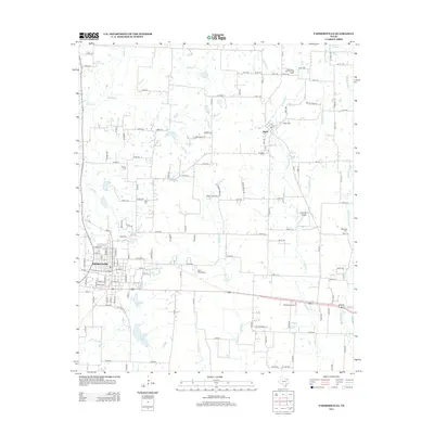
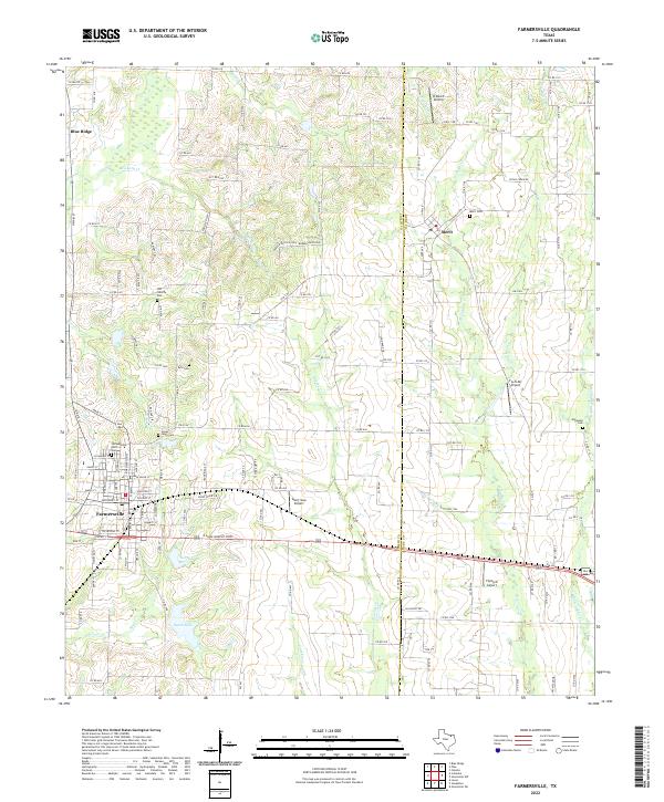
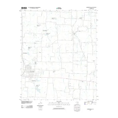 2010 Farmersville2010 Print · USGSCovers Farmersville, including Merit, Collin County, and other nearby areas
 - 2010 Map of Culleoka, 2010 Print
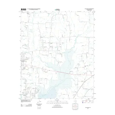
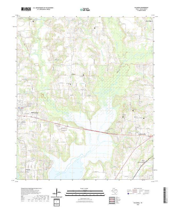
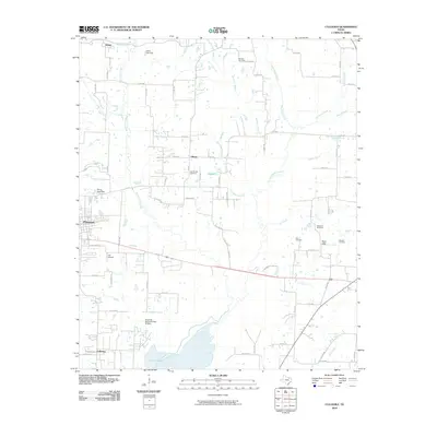 2010 Culleoka2010 Print · USGSCovers Farmersville, including Princeton, Culleoka, and other nearby areas
 - 2013 Map of Farmersville, 2013 Print
 2013 Farmersville2013 Print · USGSCovers Farmersville, including Merit, Collin County, and other nearby areas
 - 2013 Map of Culleoka, 2013 Print
 2013 Culleoka2013 Print · USGSCovers Farmersville, including Princeton, Culleoka, and other nearby areas
 - 2016 Map of Culleoka, 2016 Print
 2016 Culleoka2016 Print · USGSCovers Farmersville, including Princeton, Culleoka, and other nearby areas
 - 2016 Map of Farmersville, 2016 Print
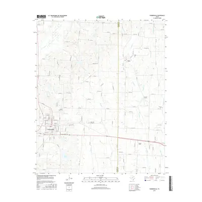 2016 Farmersville2016 Print · USGSCovers Farmersville, including Merit, Collin County, and other nearby areas
 - 2019 Map of Farmersville, 2019 Print
 2019 Farmersville2019 Print · USGSCovers Farmersville, including Merit, Collin County, and other nearby areas
 - 2019 Map of Culleoka, 2019 Print
 2019 Culleoka2019 Print · USGSCovers Farmersville, including Princeton, Culleoka, and other nearby areas
 - 2022 Map of Farmersville, 2022 Print
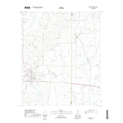
 2022 Farmersville2022 Print · USGSFarmersville and the rolling plains of North Texas are captured here in the early twenty-first century, showcasing a region of deep-rooted family history. Local historians can trace established landmarks like the Farmersville IOOF Cem, Merit Cem, and the waters of North Lake.
 - 2022 Map of Culleoka, 2022 Print
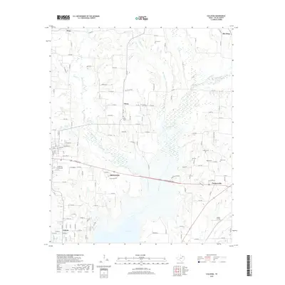
 2022 Culleoka2022 Print · USGSCollin County, Texas, is captured here in the early 2020s as modern growth meets deep-rooted local history around the northern reaches of Lavon Lake. Researchers can locate several historic burial sites like Rike-Strickland Cemetery and Huson Cemetery or trace the winding paths of Sister Grove Creek.
End of results
Showing maps 1-16 of 16
Top cities near Farmersville
- Dallas historical maps
- Garland historical maps
- McKinney historical maps
- Rowlett historical maps
- Rockwall historical maps
- Wylie historical maps
See more
Frequently asked questions
- What are the different types of historical maps available for Farmersville?
- What is the oldest map of Farmersville?
- Where can I purchase historical maps of Farmersville for my home or office?
- Where can I download high-res historical maps of Farmersville?
- Are there historical topographic maps available for Farmersville?
- Is there historical aerial imagery available for Farmersville?
- Where are historical maps of Farmersville sourced from?