2000s (21st Century) Maps of Colorado County, Texas
Explore 140 historic maps of Colorado County from the 2000s (21st Century). These maps offer a rare glimpse into what life looked like during the 2000s — showing old roads, neighborhoods, homes, and landmarks that have changed or disappeared over time.
Whether you're researching your family's past, planning a metal detecting trip, or studying how Colorado County's landscape evolved across the 2000s, these high-resolution maps are a powerful tool for exploring the history of this region.
- Focus on a specific era: All maps on this page are from the 2000s, giving you a focused view of this time period.
- See what’s changed: Compare century-old streets, trails, and buildings to today's modern landscape using overlays and satellite layers.
- Research with precision: Use these maps for genealogy, historical research, land use analysis, or educational projects.
- View, download, or print: Maps are fully viewable online in high resolution, and can be downloaded or printed for your own records.
Start exploring Colorado County's history through authentic maps from the 2000s. This is your window into the past.
Colorado County, TX maps
(140)- 2010 Map of Sheridan SE, 2010 Print
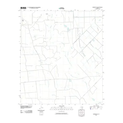 2010 Sheridan SE2010 Print · USGSCoastal prairie and creek bottoms south of Sheridan appear in this early twenty-first-century survey of Colorado County. Researchers can trace land boundaries and local landmarks like Brownson Cemetery and the private Galaxy Ranch Airport.
 - 2010 Map of Speaks, 2010 Print
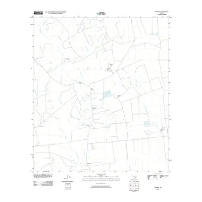 2010 Speaks2010 Print · USGSLavaca County's rural ranching and oil country comes to life in this early 21st-century study of the area surrounding Provident City. Researchers can trace local lineage at Hartt Cemetery or explore industrial roots at the Wilcox Refinery and Provident City Gas Field.
 - 2010 Map of Weimar, 2010 Print
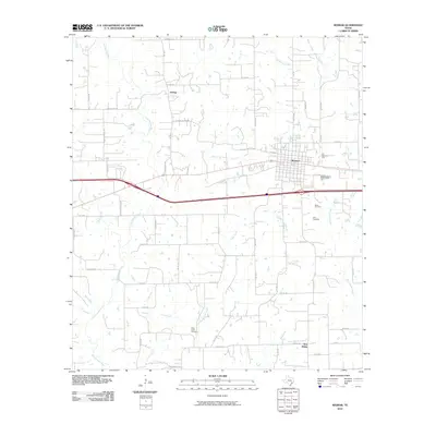 2010 Weimar2010 Print · USGSWeimar and the surrounding Colorado County countryside are captured here in the early twenty-first century. Genealogists and local historians can trace family ties at Dubina and New Bielau, or locate the Boeer Cemetery and Clear Creek Cemetery.
 - 2010 Map of Cat Spring, 2010 Print
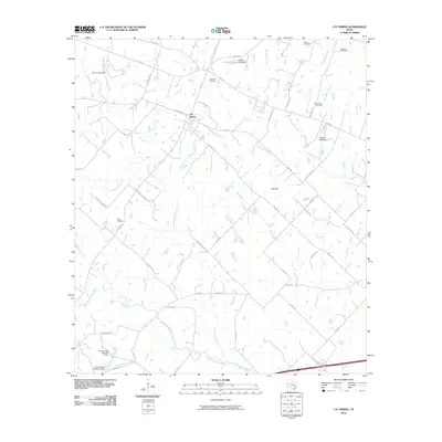 2010 Cat Spring2010 Print · USGSAustin County’s rural heritage is preserved in this study of the coastal prairie and river bottoms during the early twenty-first century. Family historians can locate ancestral sites like Schlopata Cemetery, Millheim Cemetery, and the banks of the San Bernard River.
 - 2010 Map of Cordele, 2010 Print
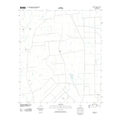 2010 Cordele2010 Print · USGSJackson County ranching and energy landscapes are captured here in the decade following the turn of the century. Genealogists and local historians can locate family landmarks like Gandy Cemetery, Miller Cemetery, and the Morales Gas Field along the Navidad River.
 - 2010 Map of New Ulm, 2010 Print
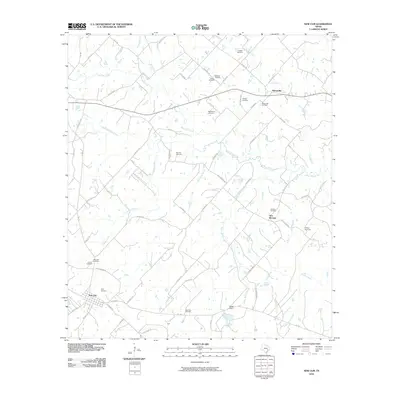 2010 New Ulm2010 Print · USGSAustin County at the start of the 2010s reveals a landscape defined by small Central Texas settlements and family legacy. Genealogists can trace local heritage through numerous sites like Frnka Cemetery, the New Ulm Oil Field, and the historic community of Nelsonville.
 - 2010 Map of Rock Island, 2010 Print
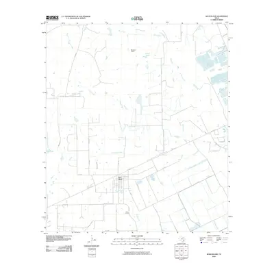 2010 Rock Island2010 Print · USGSRock Island is captured here in the early twenty-first century, showing the small settlement surrounded by the vast prairies of Colorado County. Researchers can trace local homesteads and family names through Myrtle Cemetery and follow the drainage of Skull Creek and Buzzard Prairie.
 - 2010 Map of Hahn, 2010 Print
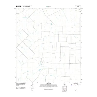 2010 Hahn2010 Print · USGSWharton County’s agricultural landscape is documented here during the early twenty-first century as rural life centered on small settlements and creek-side camps. Researchers can locate family landmarks like Hahn Cemetery and the settlement of Meeks Camp along Pinoak Creek.
 - 2010 Map of Bernardo, 2010 Print
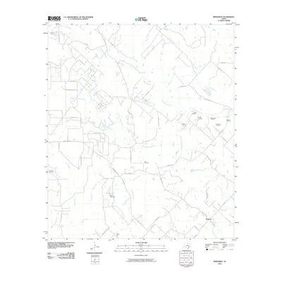 2010 Bernardo2010 Print · USGSCoastal prairie and river bottomlands near Bernardo define this rural landscape in the early twenty-first century. Genealogists can trace family footprints across numerous burial sites like Zion Cemetery and Himley Cemetery or along the banks of Schmitt Creek.
 - 2010 Map of Frelsburg, 2010 Print
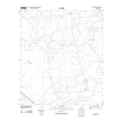 2010 Frelsburg2010 Print · USGSIn this corner of Colorado County, the settlement of Frelsburg is surrounded by a network of family-named ranch roads and winding creek beds. Researchers can trace old property lines and landmarks like the Frelsburg Oil Field, Brunes Mill Rd, and Circle M Ranch Airport.
 - 2010 Map of Oakland, 2010 Print
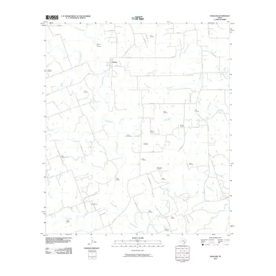 2010 Oakland2010 Print · USGSThe Colorado County countryside near Oakland is mapped here in the early twenty-first century, showing a landscape defined by the Navidad River forks. Genealogists can trace dozens of local burial sites including Oakland Hill Cemetery, Bila Hora Cemetery, and Shiloh Cemetery.
 - 2010 Map of Lissie, 2010 Print
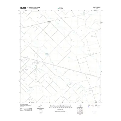 2010 Lissie2010 Print · USGSWharton County at the start of the 2010s shows a landscape of prairie agriculture and energy extraction. Trace the rural settlements of Lissie and Nottawa along the corridor of US Hwy 90 Alt near the Lissie Oil Field.
 - 2010 Map of Ammannsville, 2010 Print
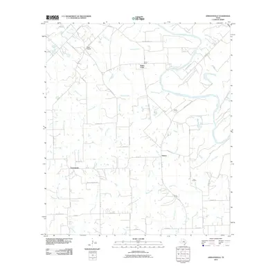 2010 Ammannsville2010 Print · USGSFayette County’s rural crossroads are captured here in the early twenty-first century, showing the enduring pattern of Texas farm-to-market life. Researchers can trace family history through sites like Brandt Cemetery and Shaw Cemetery or locate the historic centers of Ammannsville and Holman.
 - 2010 Map of Industry, 2010 Print
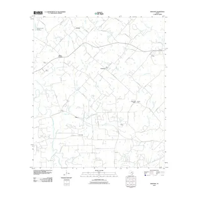 2010 Industry2010 Print · USGSAustin County at the start of the twenty-first century shows a landscape of family-owned lands and small rural clusters. Genealogists can locate several family burial grounds, such as Knolle Cemetery and Floyd Cemetery, alongside settlements like Pisek and Willow Springs.
 - 2010 Map of Bonus, 2010 Print
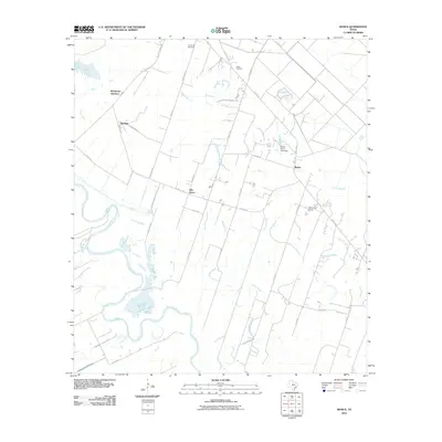 2010 Bonus2010 Print · USGSCoastal plain agriculture and riverine landscapes define this part of Colorado County during the early twenty-first century. Researchers can trace the layout of rural communities like Bonus and Eldridge or locate family sites near Union Hill Cemetery and Frazer Cemetery.
 - 2010 Map of Alleyton, 2010 Print
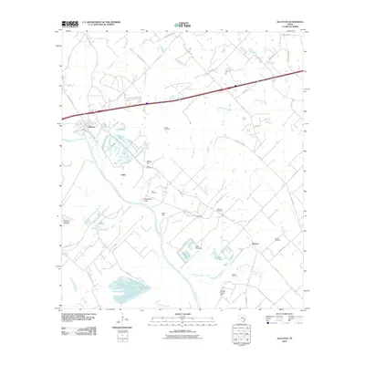 2010 Alleyton2010 Print · USGSCoastal plain history meets the energy industry in this 2010 survey of the Colorado River valley. Genealogists and researchers can locate numerous family burial sites such as Grewe Cemetery and Alley Cemetery or trace the extent of the Ramsey Gas Field.
 - 2010 Map of Eagle Lake, 2010 Print
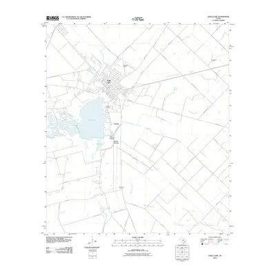 2010 Eagle Lake2010 Print · USGSEagle Lake and the surrounding Texas coastal prairie are detailed here during the first decade of the 2000s. Genealogists and historians can locate Lakeside Cemetery, Mount Zion Cemetery, and the Chesterville Oil Field.
 - 2010 Map of Borden, 2010 Print
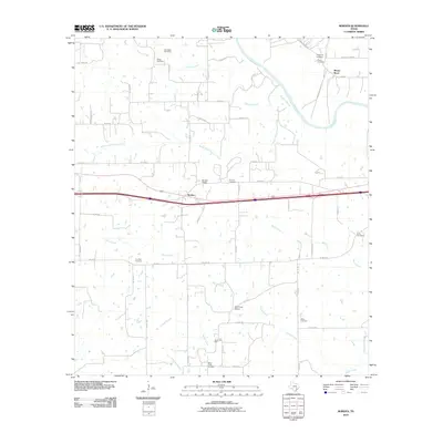 2010 Borden2010 Print · USGSColorado County at the start of the 21st century reveals a landscape shaped by the Colorado River and long-standing family settlements. Genealogists can trace local history through a dozen distinct burial sites including Old Osage Cemetery, Live Oak Cemetery, and the Oak Grove School.
 - 2010 Map of Rexville, 2010 Print
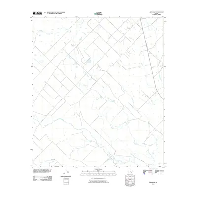 2010 Rexville2010 Print · USGSCoastal plain agriculture and a dense network of creeks characterize this Austin County landscape in the early 2000s. Genealogists can trace family-named routes like Klopsteck Rd and Beckendorff Rd near the settlement of Rexville.
 - 2010 Map of Sheridan, 2010 Print
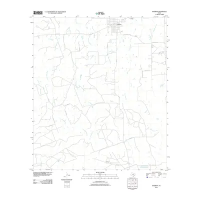 2010 Sheridan2010 Print · USGSSheridan and the surrounding Colorado County ranchlands are captured here in the early twenty-first century. Researchers can trace rural property lines and energy infrastructure near the Vienna Gas Field, Cheetham Cemetery, and the banks of West Sandy Creek.
 - 2010 Map of Altair, 2010 Print
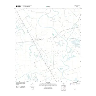 2010 Altair2010 Print · USGSAltair and the surrounding Colorado County plains are captured here in the early twenty-first century, showing a landscape defined by river bends and rural road networks. Genealogists and local researchers can trace family lands along Skull Creek, Muddy Lake, and the banks of the Colorado River.
 - 2010 Map of Columbus, 2010 Print
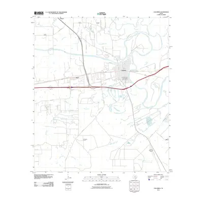 2010 Columbus2010 Print · USGSColorado County at the start of the decade centers on the river-bend settlement of Columbus. Historians and genealogists can trace property lines and legacy sites like the Colorado County Courthouse Historic District, Brune Cemetery, and the Columbus Oil Field.
 - 2010 Map of Eagle Lake NE, 2010 Print
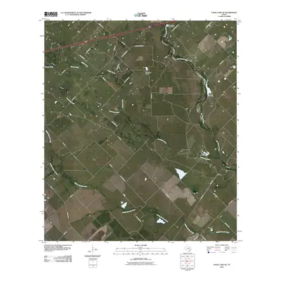 2010 Eagle Lake NE2010 Print · USGSCoastal prairie and winding river bottoms define this Colorado County landscape in the early 2000s. Genealogists and local historians can trace the settlement at Lafitte and explore rural infrastructure from Plowden Lake Dam to the Marios Flying Pizza Airport.
 - 2010 Map of Sawmill Branch, 2010 Print
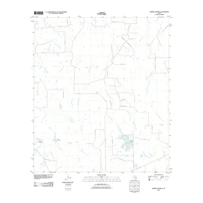 2010 Sawmill Branch2010 Print · USGSCoastal plains hydrology dominates this Colorado County landscape in the early twenty-first century. Researchers can trace water management and local development through features like Lake Sheridan, Stockton Lake Dam, and the namesake Sawmill Branch.
 - 2010 Map of Ellinger, 2010 Print
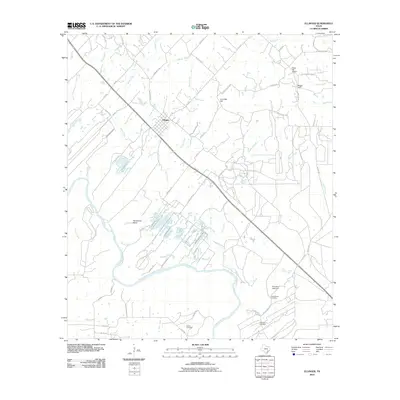 2010 Ellinger2010 Print · USGSSoutheast Texas at the turn of the millennium reveals a rural landscape defined by the winding Colorado River and the small town of Ellinger. Genealogists and local historians can map family ties through sites like Adkins Cemetery, the Rocky Hill School, and Live Oak Hill.
Showing maps 1-25 of 140
Top cities of Colorado County
Frequently asked questions
- What are the different types of historical maps available for Colorado County?
- What is the oldest map of Colorado County?
- Where can I purchase historical maps of Colorado County for my home or office?
- Where can I download high-res historical maps of Colorado County?
- Are there historical topographic maps available for Colorado County?
- Is there historical aerial imagery available for Colorado County?
- Where are historical maps of Colorado County sourced from?