2020s Maps of Cottle County, Texas
Explore 27 historic maps of Cottle County from the 2020s. These maps offer a rare glimpse into what life looked like during the 2020s — showing old roads, neighborhoods, homes, and landmarks that have changed or disappeared over time.
Whether you're researching your family's past, planning a metal detecting trip, or studying how Cottle County's landscape evolved across the 2020s, these high-resolution maps are a powerful tool for exploring the history of this region.
- Focus on a specific era: All maps on this page are from the 2020s, giving you a focused view of this time period.
- See what’s changed: Compare century-old streets, trails, and buildings to today's modern landscape using overlays and satellite layers.
- Research with precision: Use these maps for genealogy, historical research, land use analysis, or educational projects.
- View, download, or print: Maps are fully viewable online in high resolution, and can be downloaded or printed for your own records.
Start exploring Cottle County's history through authentic maps from the 2020s. This is your window into the past.
Cottle County, TX maps
(27)- 2022 Map of Goodlett, 2022 Print
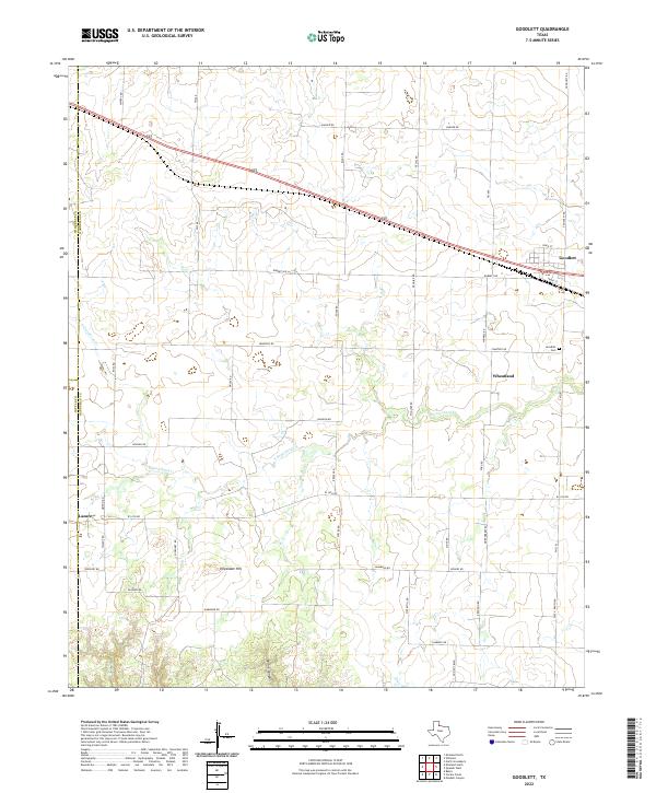 2022 Goodlett2022 Print · USGSHardeman County at the edge of the Texas Panhandle remains a landscape of quiet agricultural settlements and rolling plains. Genealogists can trace family connections at Goodlett Cem or explore the rural surroundings of Wheatland and Lazare.
 - 2022 Map of Cactus Creek, 2022 Print
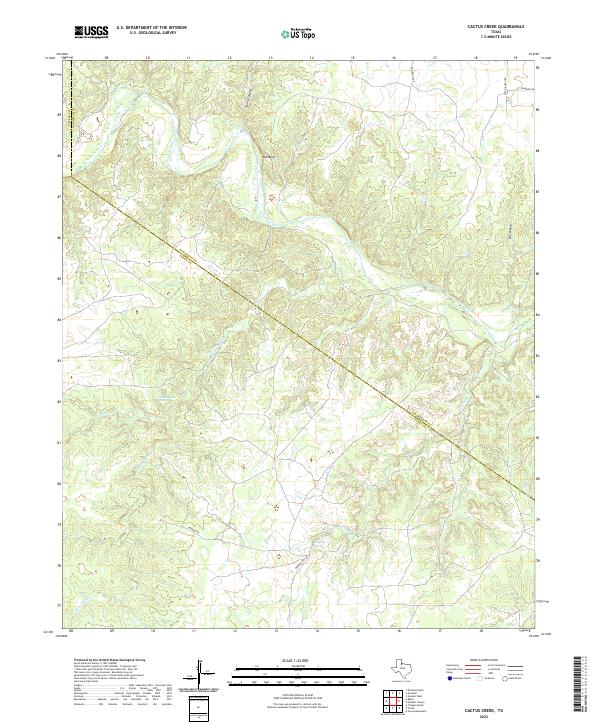 2022 Cactus Creek2022 Print · USGSThe northern plains of Foard County are defined here by the winding Pease River and the isolated ranching outposts of the early twenty-first century. Researchers can trace the rugged drainage of Spring Canyon and locate perennial water sources at Dripping Springs and Talking John Springs.
 - 2022 Map of Dunlap, 2022 Print
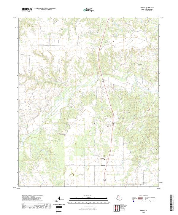 2022 Dunlap2022 Print · USGSCottle County ranching country comes into focus in the early 2020s, showing the rural crossroads around Dunlap. Genealogists and local historians can trace the Middle Pease River and locate the Dunlap Cem among a web of county roads and creek beds.
 - 2022 Map of Swearingen, 2022 Print
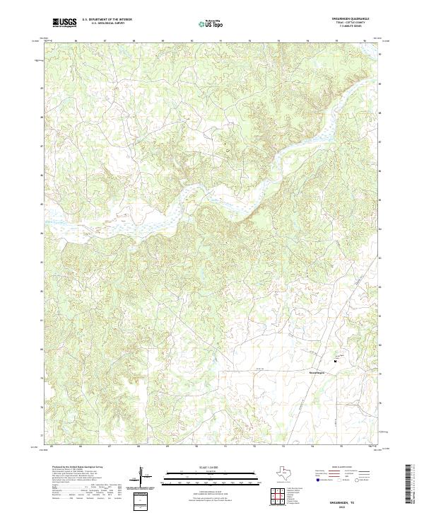 2022 Swearingen2022 Print · USGSCottle County at the start of the 2020s remains a landscape of ranch roads and winding river breaks. Genealogists and local researchers can trace family roots at the Swearingen Cem or map the rugged drainages of Big Nasty Cr and the Middle Pease River.
 - 2022 Map of Kirkland South, 2022 Print
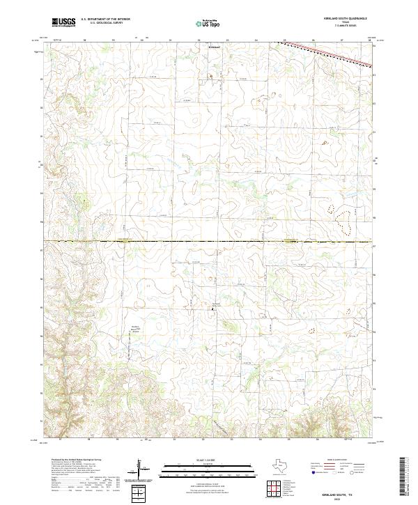 2022 Kirkland South2022 Print · USGSThe borderlands of Childress and Cottle Counties come into focus in the early 2020s, revealing a landscape of vast ranching tracts. Researchers can locate the Tennessee Valley Cem and the Buckle L Ranch East Airport among the breaks of Ninety-Foot Canyon.
 - 2022 Map of Buckle L Ranch, 2022 Print
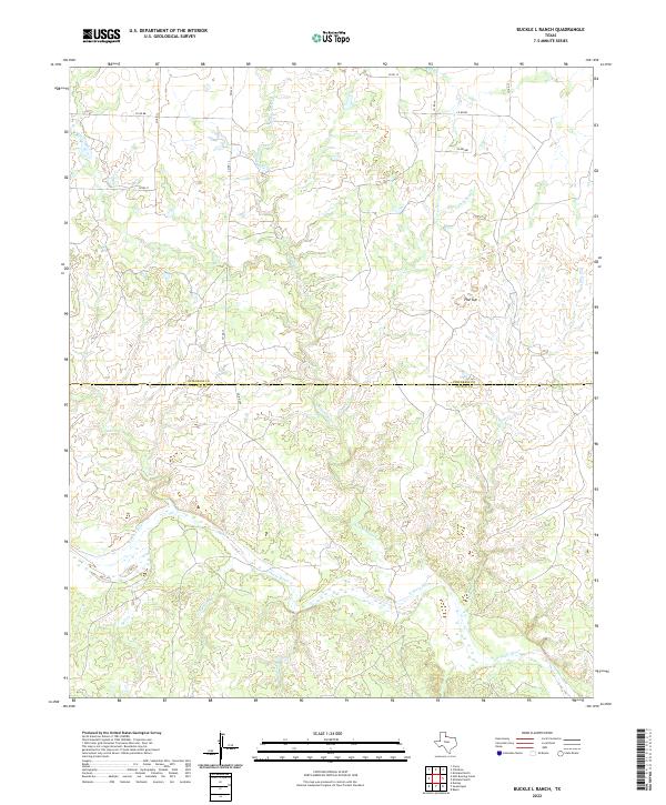 2022 Buckle L Ranch2022 Print · USGSTexas ranching country along the Childress and Cottle county line is captured here in the early twenty-first century. Researchers can trace the rugged drainage of the N Pease River and locate landmarks like Flat Top and Big Nasty Cr.
 - 2022 Map of Paducah, 2022 Print
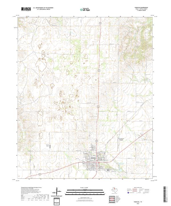 2022 Paducah2022 Print · USGSPaducah remains the enduring hub of Cottle County in the early twenty-first century, anchored by its civic and aviation history. Researchers can trace the town’s layout from the Cottle County Courthouse to the Garden of Memories Cem and Paducah Golf Club Lake.
 - 2022 Map of Moons Camp, 2022 Print
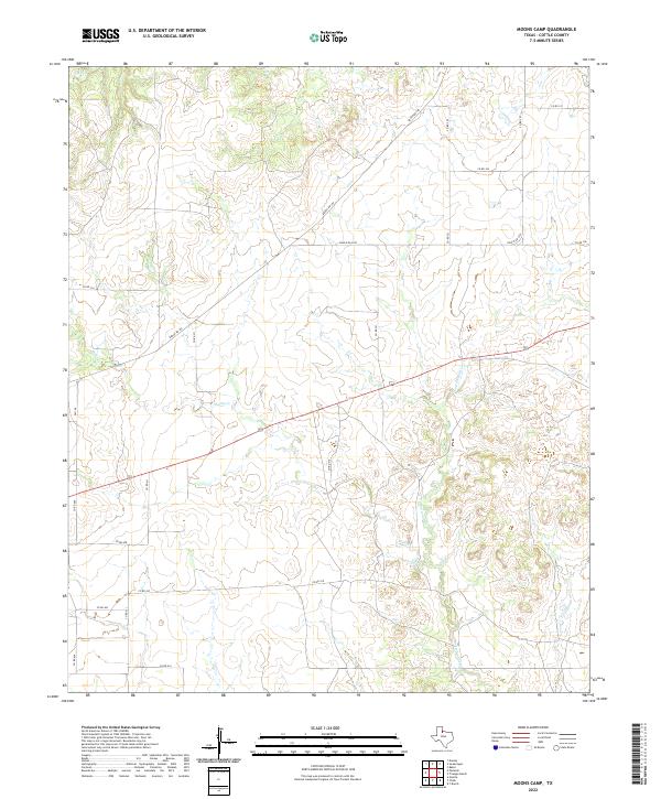 2022 Moons Camp2022 Print · USGSCottle County ranch land is mapped in detail during the early 2020s, showing the intersection of rural life and natural topography. Researchers can trace the winding paths of Shorty Cr and Cottonwood Cr alongside ranching routes like Ranch Rd 104.
 - 2022 Map of Triangle Ranch, 2022 Print
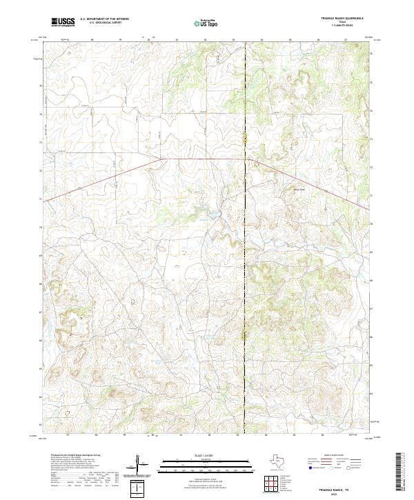 2022 Triangle Ranch2022 Print · USGSCottle and Foard counties in West Texas are shown here as an active ranching landscape in the early twenty-first century. Researchers can trace the boundaries of family-run lands and essential water sources like Matador Tank, Marys Peak, and Charley Hart Tank.
 - 2022 Map of Baker, 2022 Print
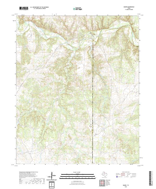 2022 Baker2022 Print · USGSCottle County ranching country is defined here by the deep incision of Ninety-Foot Canyon and the branching forks of the Pease River. Genealogists and historians can trace the local drainage system through family-named landmarks like Talking John Cr and Raggedy Bill Cr.
 - 2022 Map of Cee Vee, 2022 Print
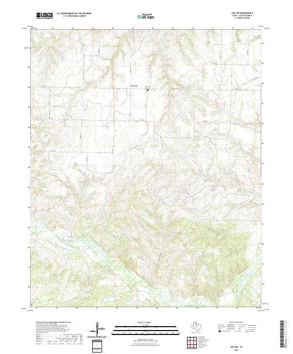 2022 Cee Vee2022 Print · USGSCottle County ranching country comes into focus in this recent study of the West Texas plains. Researchers can locate the community of Cee Vee, find burials at Haven of Rest Cem, and trace the rugged breaks along the Middle Pease River.
 - 2022 Map of Hell Roaring Creek, 2022 Print
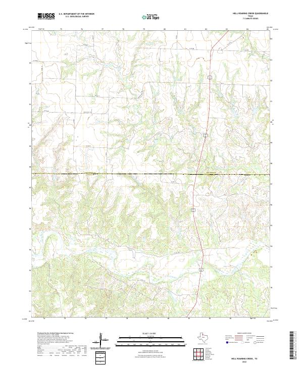 2022 Hell Roaring Creek2022 Print · USGSThe Childress and Cottle county line runs through this Texas landscape during the early 2020s, dominated by the winding N Pease River. Researchers can trace the rugged drainages of Hell Roaring Cr and Sweetwater Cr across a network of rural routes like Ranch RD 2103.
 - 2022 Map of Northfield, 2022 Print
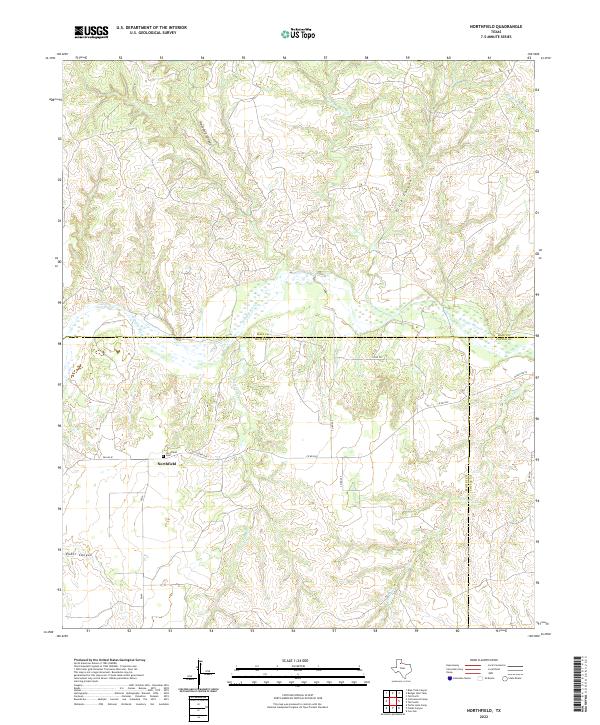 2022 Northfield2022 Print · USGSThe crossroads of Hall, Motley, and Cottle counties come together in this modern survey of the Texas Panhandle. Genealogists can locate family names and burial sites at the Northfield Cem or trace the drainage of Bitter Lake Cr and Housetop Canyon.
 - 2022 Map of Tell South, 2022 Print
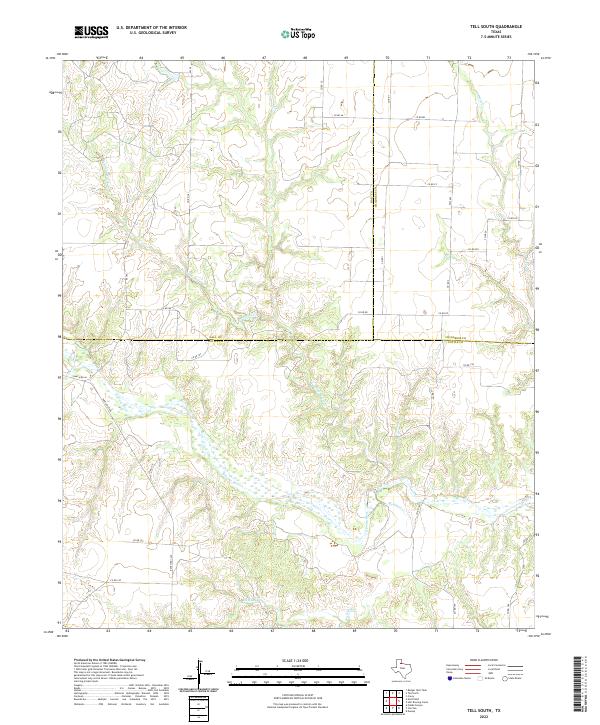 2022 Tell South2022 Print · USGSCottle and Hall counties are depicted here in the early twenty-first century, showcasing the wide-open ranchlands of the Texas Rolling Plains. Researchers can trace the winding course of the N Pease River and the isolated stretches of Ranch RD 1440 or Running Water Cr.
 - 2022 Map of Devils Canyon, 2022 Print
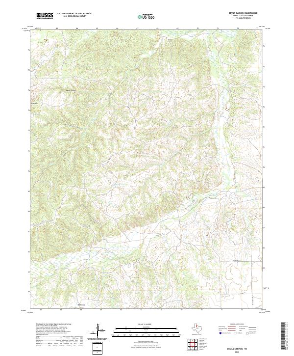 2022 Devils Canyon2022 Print · USGSCottle County ranching country is documented here in the early 2020s, showing a landscape defined by deep breaks and seasonal water. Researchers can trace the terrain around Narcisso or locate landmarks like Devils Canyon and Turkey Tank.
 - 2022 Map of Fields Canyon, 2022 Print
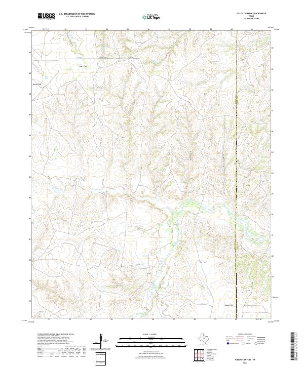 2022 Fields Canyon2022 Print · USGSThe West Texas canyons of Motley County are captured here in the early 2020s, showing a rugged landscape shaped by the Middle Pease River. Researchers can trace the drainage of Turtle Hole Cr and locate family-named landmarks like Leary Flat and Baines Flat.
 - 2022 Map of Grow, 2022 Print
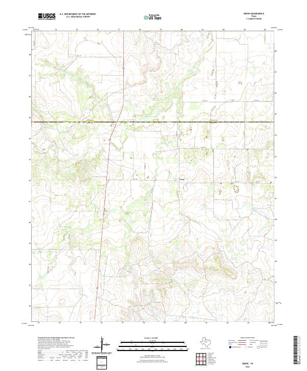 2022 Grow2022 Print · USGSThe northern edge of King County comes into focus in this recent survey, centered on the ranching community of Grow. Researchers can trace the winding paths of the N Wichita River and Buford Br through this characteristic Texas plains landscape.
 - 2022 Map of Chalk, 2022 Print
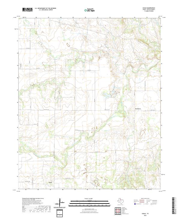 2022 Chalk2022 Print · USGSCottle County ranch lands are documented in this recent survey of the North Texas plains. Researchers can trace the drainage of the N Wichita River and locate rural hubs like Chalk and Hackberry, alongside family landmarks such as Worley Lake.
 - 2022 Map of Chalk SW, 2022 Print
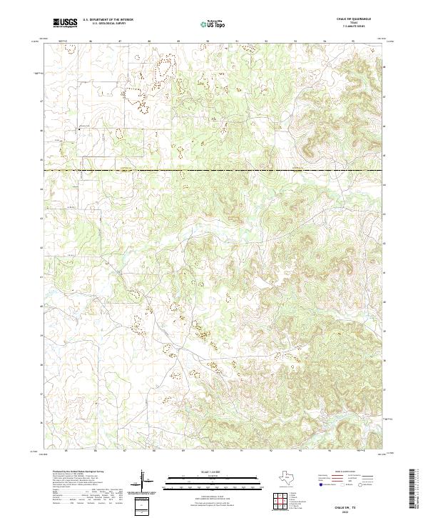 2022 Chalk SW2022 Print · USGSSpanning the King and Cottle county line in West Texas, this map shows a landscape of deep creek breaks and remote ranch land. Genealogists and local historians can locate Shinnery Cem and trace the paths of Farrer Cr and the Middle Fork Wichita River.
 - 2022 Map of Y Ranch, 2022 Print
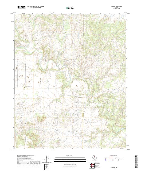 2022 Y Ranch2022 Print · USGSThe ranching country of the Texas Rolling Plains remains a land of deep canyons and seasonal creeks in the early twenty-first century. Genealogists and historians can trace the remote landscape along the North Wichita River and search for old property access points off Mcadams Rd and Ranch Rd 1038.
 - 2022 Map of Buffalo Creek, 2022 Print
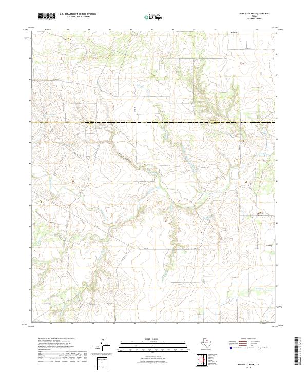 2022 Buffalo Creek2022 Print · USGSThe Rolling Plains of King and Cottle counties come to life in this recent survey of the Texas cattle country. Researchers can trace land boundaries near Delwin or follow the winding N Wichita River past Water Canyon and Hackberry Tank.
 - 2022 Map of Lowrance Mountain, 2022 Print
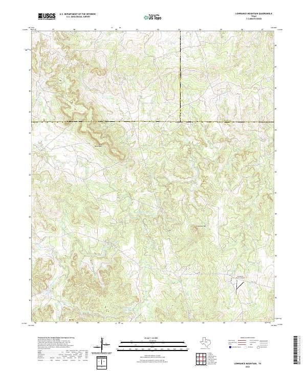 2022 Lowrance Mountain2022 Print · USGSThe West Texas ranchlands at the junction of King, Cottle, and Foard counties are captured here in the early twenty-first century. Genealogists and land historians can locate specific landmarks like the Lowrance Ranch Airport, Marys Lake, and the winding Middle Fork Wichita River.
 - 2022 Map of Dumont, 2022 Print
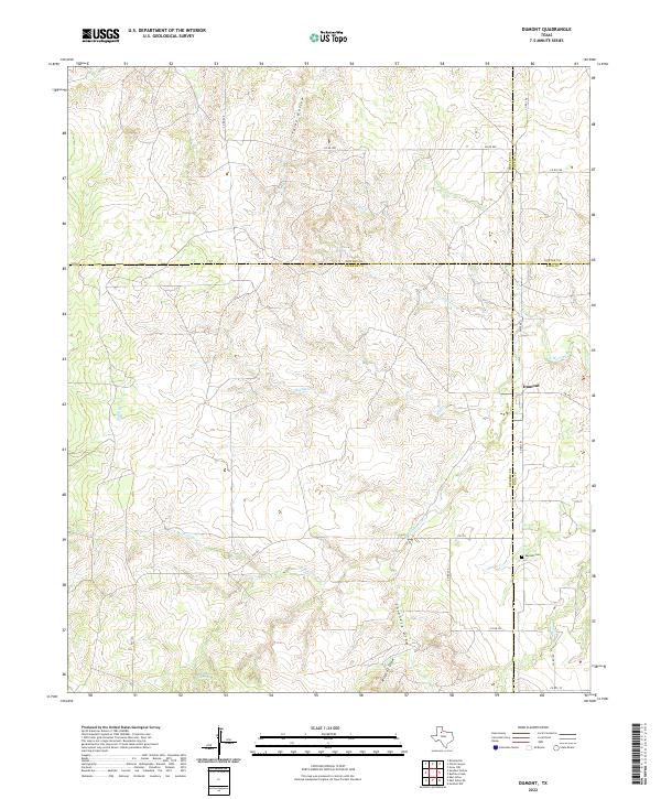 2022 Dumont2022 Print · USGSDumont and its surrounding ranchlands are documented here at a unique four-county corner where Dickens, Motley, Cottle, and King meet. Researchers can trace family sites near the Dumont Cem and follow the rugged paths of the N Wichita River and Shinnery Draw.
 - 2022 Map of Ginsite, 2022 Print
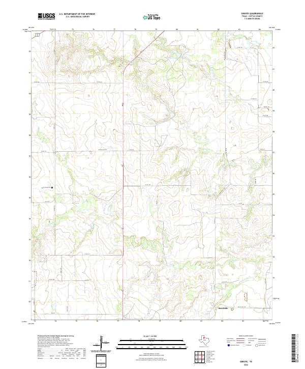 2022 Ginsite2022 Print · USGSCottle County ranchlands are documented here in the early twenty-first century, centered on the drainage of the N Wichita River. Local historians can trace family ties at the Buck Creek Cem or locate the rural settlement of Sneedville.
 - 2022 Map of Grow NW, 2022 Print
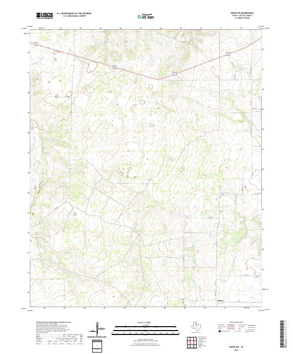 2022 Grow NW2022 Print · USGSCottle County at the start of the 2020s shows a landscape of ranching roads and prairie drainages. Researchers can trace rural property access and geographic landmarks like Delwin or the winding courses of Buck Cr and Mesa Cr.
Showing maps 1-25 of 27
Top cities of Cottle County
Frequently asked questions
- What are the different types of historical maps available for Cottle County?
- What is the oldest map of Cottle County?
- Where can I purchase historical maps of Cottle County for my home or office?
- Where can I download high-res historical maps of Cottle County?
- Are there historical topographic maps available for Cottle County?
- Is there historical aerial imagery available for Cottle County?
- Where are historical maps of Cottle County sourced from?