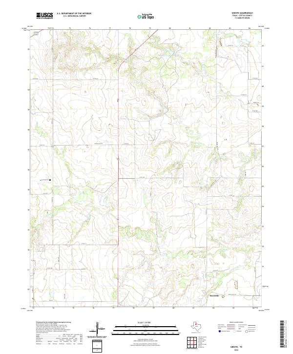
2022 Map of Ginsite
USGS Topo · Published 2022About this map
Sneedville sits near the southern edge of this Cottle County landscape, where the local road network converges above the N Wichita River. The terrain is defined by the complex drainage of Salt Cr and Buck Cr, which carve through the plains and feed into smaller water bodies like Richards Lake. This drainage pattern influenced the placement of early rural infrastructure, including the isolated Buck Creek Cem located to the west of the main highway corridor.
Find a feature on this map
33 named features on this map. Tap any name to fly to it.
Don’t see what you’re looking for? This feature index may not catch every label — zoom into the map to look around manually.
Map Details
Editions of this 2022 Ginsite Map
This is the sole edition of this map. No revisions or reprints were ever made.
Other maps of this area

1954 · Lubbock
USGS Topo · 1:250,000

1954 · Plainview
USGS Topo · 1:250,000

1958 · Plainview
USGS Topo · 1:250,000

1966 · Chalk SW
USGS Topo · 1:24,000

1966 · Devils Canyon
USGS Topo · 1:24,000

1967 · Paducah
USGS Topo · 1:24,000

1967 · Moons Camp
USGS Topo · 1:24,000

1968 · Grow
USGS Topo · 1:24,000
1968 · Chalk
USGS Topo · 1:24,000

1968 · Buffalo Creek
USGS Topo · 1:24,000