Old Maps of Texline, Texas for Metal Detecting
Plan your next treasure hunt with 18 historic maps of Texline. Find old homesites, ghost towns, trails, and gathering spots that may be lost to time — perfect for identifying promising metal detecting locations.
- Locate forgotten sites: Uncover places like long-lost settlements, abandoned rail lines, or gathering spots.
- Plan better hunts: Use map overlays combined with LiDAR or satellite views to narrow in on historically rich areas.
- Made for detectorists: Thousands of hobbyists use these maps to discover relics, coins, and hidden history.
Use these historic maps to boost your research and find new opportunities beneath the surface of Texline.
Texline, TX maps
(18)- 1954 Map of Dalhart, 1967 Print
 1954 Dalhart1967 Print · USGSThe High Plains at the junction of four states come alive in the mid-fifties, showing a landscape of rail-hub towns and cattle country. Trace the Old Santa Fe Trail or locate mid-century industrial sites like the Dry ice plant and Carbon Dioxide Works.2 unique versions available
 - 1958 Map of Dalhart
 1958 Dalhart1958 Print · USGSThe High Plains of the tri-state border region come alive in this mid-century survey of the ranching and rail territory around the Texas Panhandle. Genealogists and historians can trace the paths of the Atchison Topeka & Santa Fe Ry, military outposts like Dalhart Air Force No 1, and early settlements such as Pasamonte and Texline.2 unique versions available
 - 1962 Map of Dalhart
 1962 Dalhart1962 Print · USGSThe High Plains and volcanic peaks of the tri-state area are shown in detail during the early sixties. Genealogists and historians can trace the rail corridors of the Fort Worth and Denver and find industrial sites like the Cactus Ordnance Works or the Beaver Meade & Englewood Grain Elevator.
 - 1970 Map of Texline South, 1973 Print
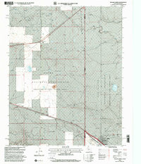
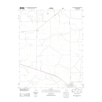
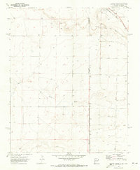 1970 Texline South1973 Print · USGSThe high plains of the New Mexico and Texas border come alive in this early 1970s survey of the railroad town of Texline. Genealogists and researchers can trace rural infrastructure along the Fort Worth and Denver rail line, Perico Creek, and Carrizo Creek.
 - 1970 Map of Texline North, 1973 Print
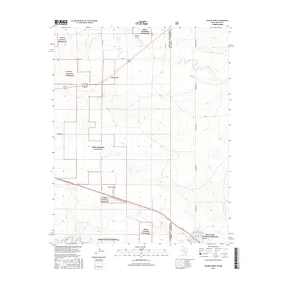
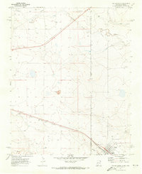 1970 Texline North1973 Print · USGSThe high plains borderland at the New Mexico and Texas line is captured here in the early seventies as a hub of rail and ranching life. Researchers can trace the junction of the Ft Worth and Denver railroad near Texline and locate local landmarks like the Rodeo Ground and Worsham.
 - 1982 Map of Clayton, 1983 Print
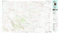 1982 Clayton1983 Print · USGSThe high plains of northeast New Mexico and the Texas panhandle appear here in the early eighties, centered on the ranching hub of Clayton. Genealogists and historians can trace the paths of the Colorado and Southern railroad or locate remote settlements like Miera, Beenham, and Sofia.
 - 1998 Map of Texline South, 2001 Print
 1998 Texline South2001 Print · USGSThe Texas-New Mexico borderlands in the late nineties are captured here as a landscape of wide-open ranching and federal conservation. Genealogists and researchers can trace local landmarks like the Texline town site, the Circle H Farms Ltd Airport, and the Cem near the state line.
 - 1998 Map of Texline North, 2001 Print
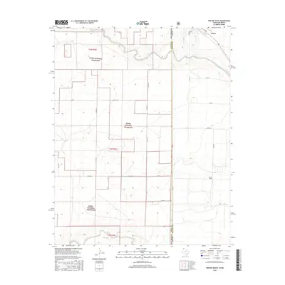
 1998 Texline North2001 Print · USGSThe High Plains of the late nineties come alive at the meeting point of Texas and New Mexico in this detailed survey. Genealogists and historians can trace the foundations of this cattle-ranching region through the Texline townsite, the Clayton Livestock Research Center, and local landmarks like the Rodeo Ground.
 - 2011 Map of Texline North, 2011 Print
 2011 Texline North2011 Print · USGSCovers Texline, including Clayton, Union County, and other nearby areas
 - 2011 Map of Texline South, 2011 Print
 2011 Texline South2011 Print · USGSCovers Texline, including Union County, Dallam County, and other nearby areas
 - 2012 Map of Texline South, 2012 Print
 2012 Texline South2012 Print · USGSCovers Texline, including Union County, Dallam County, and other nearby areas
 - 2012 Map of Texline North, 2012 Print
 2012 Texline North2012 Print · USGSCovers Texline, including Clayton, Union County, and other nearby areas
 - 2016 Map of Texline North, 2016 Print
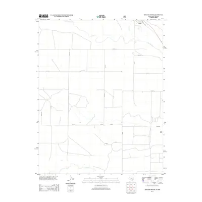
 2016 Texline North2016 Print · USGSCovers Texline, including Clayton, Union County, and other nearby areas
 - 2016 Map of Texline South, 2016 Print
 2016 Texline South2016 Print · USGSCovers Texline, including Union County, Dallam County, and other nearby areas
 - 2019 Map of Texline South, 2019 Print
 2019 Texline South2019 Print · USGSCovers Texline, including Union County, Dallam County, and other nearby areas
 - 2019 Map of Texline North, 2019 Print
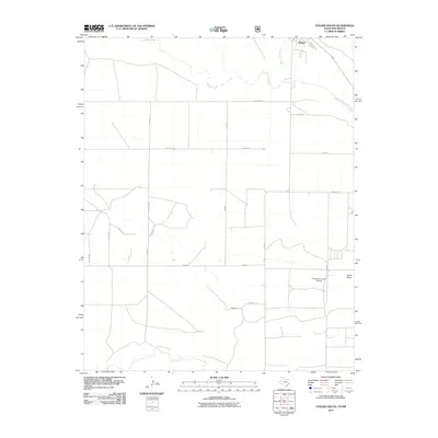
 2019 Texline North2019 Print · USGSCovers Texline, including Clayton, Union County, and other nearby areas
 - 2022 Map of Texline North, 2022 Print
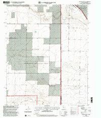
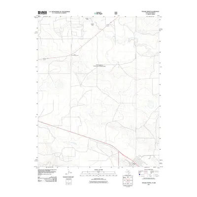
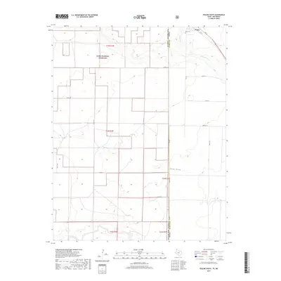
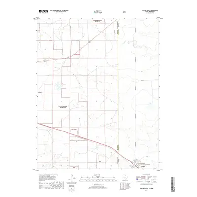
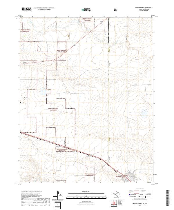 2022 Texline North2022 Print · USGSThe high plains of the Texas-New Mexico border are captured here in the early 2020s, showing a landscape defined by federal grasslands and cattle country. Genealogists and researchers can trace the street grid of Texline or follow rural routes like Stirrup Rd and Clark Ln through the Kiowa National Grassland.
 - 2022 Map of Texline South, 2022 Print
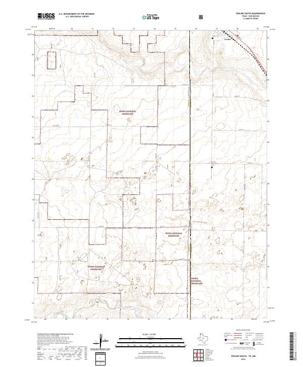 2022 Texline South2022 Print · USGSThe high plains along the Texas and New Mexico border come into focus in this contemporary survey of the Panhandle. Researchers can trace land divisions within the Kiowa National Grassland and locate family plots at the Texline Cem.
End of results
Showing maps 1-18 of 18
Top cities near Texline
Frequently asked questions
- What are the different types of historical maps available for Texline?
- What is the oldest map of Texline?
- Where can I purchase historical maps of Texline for my home or office?
- Where can I download high-res historical maps of Texline?
- Are there historical topographic maps available for Texline?
- Is there historical aerial imagery available for Texline?
- Where are historical maps of Texline sourced from?