2000s (21st Century) Maps of El Paso, Texas
Explore 75 historic maps of El Paso from the 2000s (21st Century). These maps offer a rare glimpse into what life looked like during the 2000s — showing old roads, neighborhoods, homes, and landmarks that have changed or disappeared over time.
Whether you're researching your family's past, planning a metal detecting trip, or studying how El Paso's landscape evolved across the 2000s, these high-resolution maps are a powerful tool for exploring the history of this region.
- Focus on a specific era: All maps on this page are from the 2000s, giving you a focused view of this time period.
- See what’s changed: Compare century-old streets, trails, and buildings to today's modern landscape using overlays and satellite layers.
- Research with precision: Use these maps for genealogy, historical research, land use analysis, or educational projects.
- View, download, or print: Maps are fully viewable online in high resolution, and can be downloaded or printed for your own records.
Start exploring El Paso's history through authentic maps from the 2000s. This is your window into the past.
El Paso, TX maps
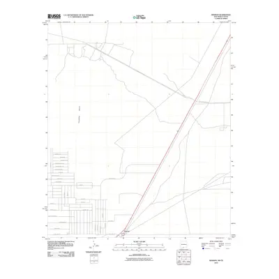
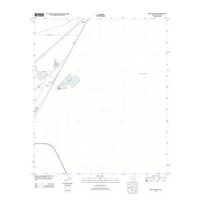
(75)- 2010 Map of Nations South Well, 2010 Print
 2010 Nations South Well2010 Print · USGSCovers El Paso, including Las Quintas Number 2 Colonia, Las Casitas Number 2 Colonia, and other nearby areas
 - 2010 Map of North Franklin Mountain, 2010 Print
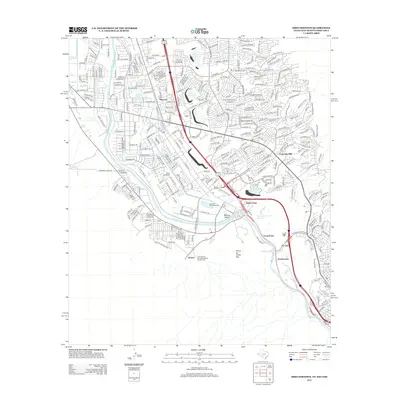
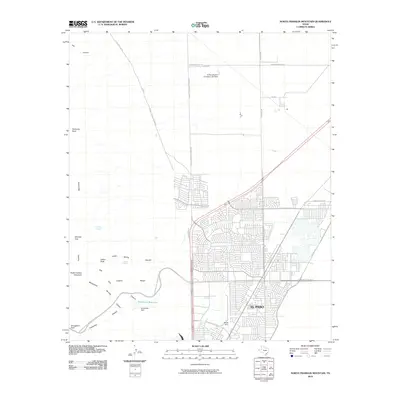 2010 North Franklin Mountain2010 Print · USGSCovers El Paso, including El Paso County, United States, and other nearby areas
 - 2010 Map of Fort Bliss SE, 2010 Print
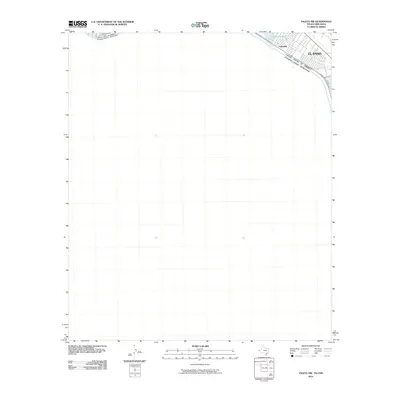
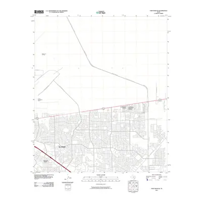 2010 Fort Bliss SE2010 Print · USGSCovers El Paso, including Las Palmas Colonia, Turf Estates Number 1 Colonia, and other nearby areas
 - 2010 Map of Fort Bliss NE, 2010 Print
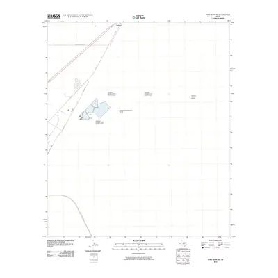 2010 Fort Bliss NE2010 Print · USGSCovers El Paso, including Newman, El Paso County, and other nearby areas
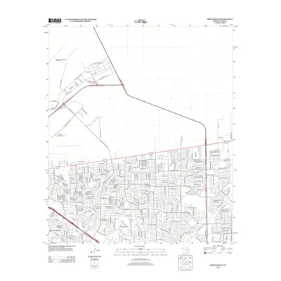
 - 2010 Map of Ysleta, 2010 Print
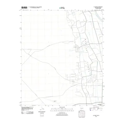
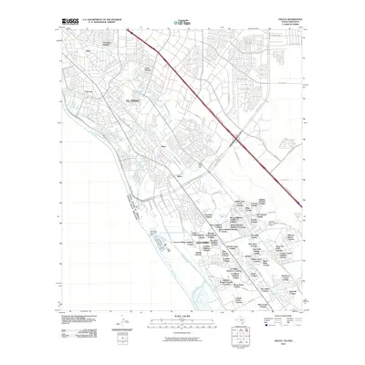 2010 Ysleta2010 Print · USGSCovers El Paso, including Socorro, Tigua, and other nearby areas
 - 2010 Map of Ysleta NW, 2010 Print
 2010 Ysleta NW2010 Print · USGSCovers El Paso, including Ciudad Juárez, Lakeside, and other nearby areas
 - 2010 Map of San Elizario, 2010 Print
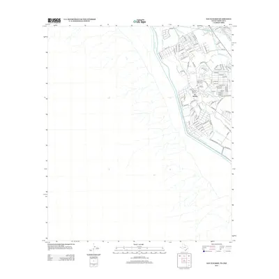
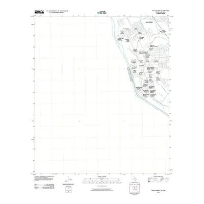 2010 San Elizario2010 Print · USGSCovers El Paso, including Socorro, San Elizario, and other nearby areas
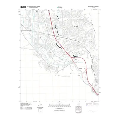
 - 2010 Map of El Paso, 2010 Print
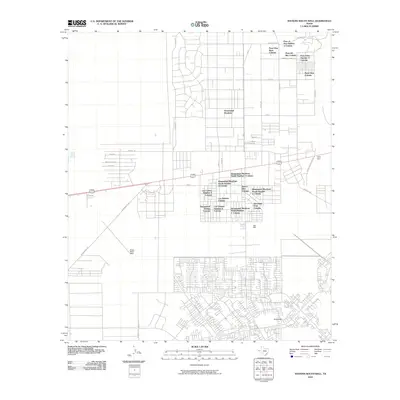
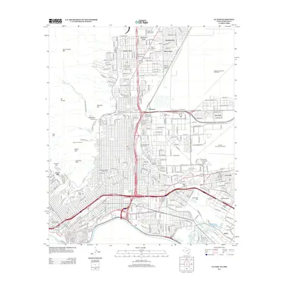
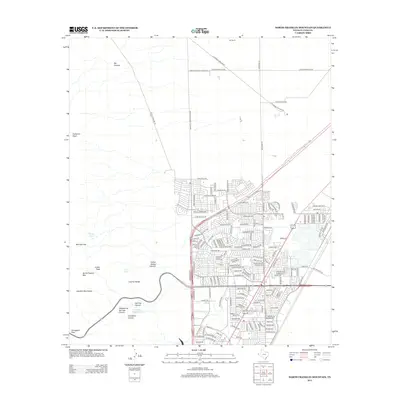
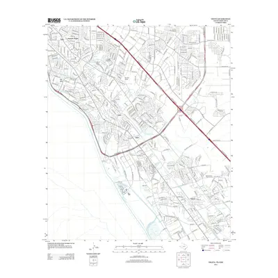
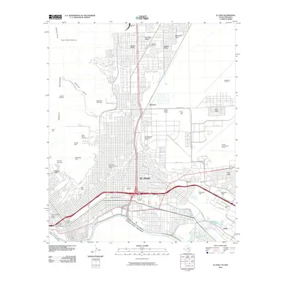 2010 El Paso2010 Print · USGSCovers El Paso, including Britton Davis, Mission Hills, and other nearby areas
 - 2010 Map of Strauss, 2010 Print
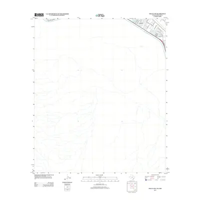
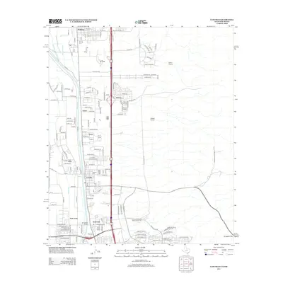
 2010 Strauss2010 Print · USGSCovers El Paso, including Sunland Park, Santa Teresa, and other nearby areas
 - 2010 Map of Smeltertown, 2010 Print
 2010 Smeltertown2010 Print · USGSCovers El Paso, including Sunland Park, Santa Teresa, and other nearby areas
 - 2010 Map of La Union, 2010 Print
 2010 La Union2010 Print · USGSCovers El Paso, including Anthony, Santa Teresa, and other nearby areas
 - 2010 Map of Canutillo, 2010 Print
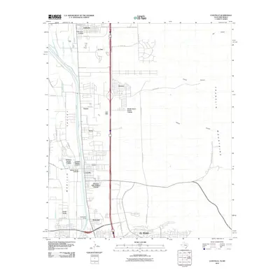 2010 Canutillo2010 Print · USGSCovers El Paso, including Canutillo, Anthony, and other nearby areas
 - 2010 Map of Newman SW, 2010 Print
 2010 Newman SW2010 Print · USGSCovers El Paso, including Chaparral, Doña Ana County, and other nearby areas
 - 2010 Map of Anthony, 2010 Print
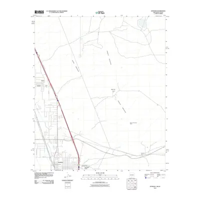 2010 Anthony2010 Print · USGSCovers El Paso, including Anthony, NM, Anthony, and other nearby areas
 - 2010 Map of Newman, 2010 Print
 2010 Newman2010 Print · USGSCovers El Paso, including Otero County, El Paso County, and other nearby areas
 - 2012 Map of San Elizario, 2012 Print
 2012 San Elizario2012 Print · USGSCovers El Paso, including Socorro, San Elizario, and other nearby areas
 - 2012 Map of El Paso, 2012 Print
 2012 El Paso2012 Print · USGSCovers El Paso, including Britton Davis, Mission Hills, and other nearby areas
 - 2012 Map of Fort Bliss SE, 2012 Print
 2012 Fort Bliss SE2012 Print · USGSCovers El Paso, including Las Palmas Colonia, Turf Estates Number 1 Colonia, and other nearby areas
 - 2012 Map of North Franklin Mountain, 2012 Print
 2012 North Franklin Mountain2012 Print · USGSCovers El Paso, including El Paso County, United States, and other nearby areas
 - 2012 Map of Ysleta NW, 2012 Print
 2012 Ysleta NW2012 Print · USGSCovers El Paso, including Ciudad Juárez, Lakeside, and other nearby areas
 - 2012 Map of Nations South Well, 2012 Print
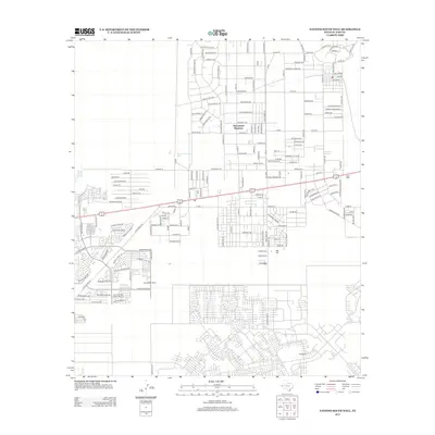 2012 Nations South Well2012 Print · USGSCovers El Paso, including Las Quintas Number 2 Colonia, Las Casitas Number 2 Colonia, and other nearby areas
 - 2012 Map of Fort Bliss NE, 2012 Print
 2012 Fort Bliss NE2012 Print · USGSCovers El Paso, including Newman, El Paso County, and other nearby areas
 - 2012 Map of Ysleta, 2012 Print
 2012 Ysleta2012 Print · USGSCovers El Paso, including Socorro, Tigua, and other nearby areas
 - 2012 Map of Canutillo, 2012 Print
 2012 Canutillo2012 Print · USGSCovers El Paso, including Canutillo, Anthony, and other nearby areas
 - 2012 Map of Smeltertown, 2012 Print
 2012 Smeltertown2012 Print · USGSCovers El Paso, including Sunland Park, Santa Teresa, and other nearby areas
Showing maps 1-25 of 75
Top cities near El Paso
- Socorro historical maps
- Sunland Park historical maps
- Chaparral historical maps
- Horizon City historical maps
- San Elizario historical maps
- Anthony historical maps
See more
Top neighborhoods of El Paso
- Coronado Hills historical maps
- Green Acres Colonia historical maps
- Del Norte Acres historical maps
- Mission Hills historical maps
- Cielo Vista historical maps
- Sunrise Acres historical maps
See more
Frequently asked questions
- What are the different types of historical maps available for El Paso?
- What is the oldest map of El Paso?
- Where can I purchase historical maps of El Paso for my home or office?
- Where can I download high-res historical maps of El Paso?
- Are there historical topographic maps available for El Paso?
- Is there historical aerial imagery available for El Paso?
- Where are historical maps of El Paso sourced from?