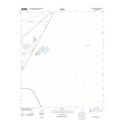
2012 Map of Fort Bliss NE
USGS Topo · Published 2012About this map
Newman sits at the northern edge of this high-desert landscape, a small settlement defined by its position at a critical intersection of infrastructure. The map records a transition from traditional desert expanses to industrial utility and residential expansion, most notably seen in the large-scale water management of Northeast Oxidation Pond Number 2. Aviation and logistics are represented by the Newman Radio Beacon, a landmark for navigation in this stretch of El Paso County.
Find a feature on this map
15 named features on this map. Tap any name to fly to it.
Don’t see what you’re looking for? This feature index may not catch every label — zoom into the map to look around manually.
Map Details
Editions of this 2012 Fort Bliss NE Map
This is the sole edition of this map. No revisions or reprints were ever made.
Other maps of this area

1896 · El Paso
USGS Topo · 1:125,000

1908 · El Paso
USGS Topo · 1:125,000

1939 · Heuco Tanks
USGS Topo · 1:62,500

1940 · Heuco Tanks
USGS Topo · 1:62,500

1940 · Newman
USGS Topo · 1:62,500

1941 · El Paso
USGS Topo · 1:31,680

1941 · Desert
USGS Topo · 1:62,500

1942 · Fort Bliss
USGS Topo · 1:62,500

1943 · Desert
USGS Topo · 1:62,500

1943 · Newman
USGS Topo · 1:62,500