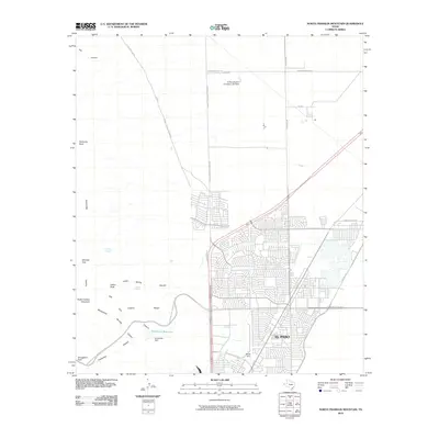
2010 Map of North Franklin Mountain
USGS Topo · Published 2010About this map
North Franklin Mountain dominates the western skyline of this survey, standing as a high point within the Franklin Mountains. The landscape transitions abruptly from the high desert peaks to the suburban expansion of El Paso in the southeast. Significant water management features are evident in the arid terrain, including the Fusselman Reservoir and the El Paso Electric Company Lake Dam, which serve the growing city below the slopes.
Find a feature on this map
31 named features on this map. Tap any name to fly to it.
Don’t see what you’re looking for? This feature index may not catch every label — zoom into the map to look around manually.
Map Details
Editions of this 2010 North Franklin Mountain Map
This is the sole edition of this map. No revisions or reprints were ever made.
Other maps of this area

1891 · Las Cruces
USGS Topo · 1:125,000

1893 · Las Cruces
USGS Topo · 1:125,000

1896 · El Paso
USGS Topo · 1:125,000

1908 · El Paso
USGS Topo · 1:125,000

1917 · Canutillo
USGS Topo · 1:62,500

1919 · Canutillo
USGS Topo · 1:62,500

1940 · Newman
USGS Topo · 1:62,500

1941 · El Paso
USGS Topo · 1:31,680

1942 · Fort Bliss
USGS Topo · 1:62,500

1943 · La Mesa
USGS Topo · 1:62,500