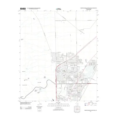
2012 Map of North Franklin Mountain
USGS Topo · Published 2012About this map
North Franklin Mtn and the surrounding peaks of the Franklin Mountains dominate the western half of this 2012 survey, providing a stark contrast to the burgeoning residential expansion of Northeast El Paso. The area is defined by its dramatic high-desert topography, with landmarks like Anthonys Nose and Smugglers Pass overlooking the sprawling Castner Range and the Fusselman Reservoir.
Find a feature on this map
66 named features on this map. Tap any name to fly to it.
Don’t see what you’re looking for? This feature index may not catch every label — zoom into the map to look around manually.
Map Details
Editions of this 2012 North Franklin Mountain Map
This is the sole edition of this map. No revisions or reprints were ever made.
Other maps of this area

1891 · Las Cruces
USGS Topo · 1:125,000

1893 · Las Cruces
USGS Topo · 1:125,000

1896 · El Paso
USGS Topo · 1:125,000

1908 · El Paso
USGS Topo · 1:125,000

1917 · Canutillo
USGS Topo · 1:62,500

1919 · Canutillo
USGS Topo · 1:62,500

1940 · Newman
USGS Topo · 1:62,500

1941 · El Paso
USGS Topo · 1:31,680

1942 · Fort Bliss
USGS Topo · 1:62,500

1943 · La Mesa
USGS Topo · 1:62,500