2010s Maps of Erath County, Texas
Explore 116 historic maps of Erath County from the 2010s. These maps offer a rare glimpse into what life looked like during the 2010s — showing old roads, neighborhoods, homes, and landmarks that have changed or disappeared over time.
Whether you're researching your family's past, planning a metal detecting trip, or studying how Erath County's landscape evolved across the 2010s, these high-resolution maps are a powerful tool for exploring the history of this region.
- Focus on a specific era: All maps on this page are from the 2010s, giving you a focused view of this time period.
- See what’s changed: Compare century-old streets, trails, and buildings to today's modern landscape using overlays and satellite layers.
- Research with precision: Use these maps for genealogy, historical research, land use analysis, or educational projects.
- View, download, or print: Maps are fully viewable online in high resolution, and can be downloaded or printed for your own records.
Start exploring Erath County's history through authentic maps from the 2010s. This is your window into the past.
Erath County, TX maps
(116)- 2010 Map of Rucker, 2010 Print
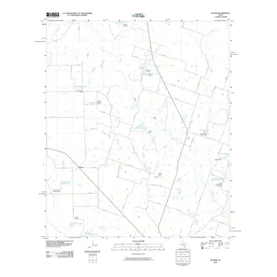 2010 Rucker2010 Print · USGSThis Comanche County ranching landscape was dominated by the Leon River and local agriculture during the 2010s. Researchers can trace family-named water features and small settlements like Rucker, Setzler Lake, and Ardean Kimmell Reservoir Number 2.
 - 2010 Map of Edna Hill, 2010 Print
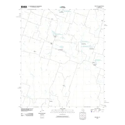 2010 Edna Hill2010 Print · USGSComanche County ranching and rural life are documented here during the first decade of the 2000s. Genealogists and local historians can trace family locations near Barbee Cemetery and Pecan Cemetery, or explore the rural hubs of Edna Hill and Hazeldell.
 - 2010 Map of Paluxy, 2010 Print
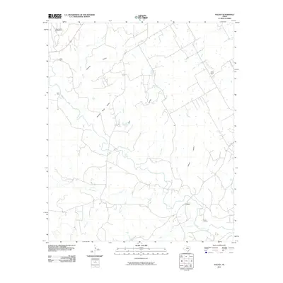 2010 Paluxy2010 Print · USGSHood County, Texas, is captured here in the early 21st century as a landscape of river-valley settlements and quiet rural landmarks. Researchers can locate the Paluxy community and Camp Paluxy, or trace family history at Glenn Cemetery and Panter Branch Hall.
 - 2010 Map of Reddy Mountain, 2010 Print
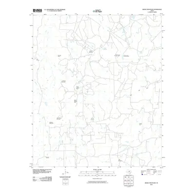 2010 Reddy Mountain2010 Print · USGSIn the early twenty-first century, this Erath County landscape remains defined by its high ridges and spring-fed creek systems. Researchers can trace historic family landmarks such as Tudor Cemetery, North Shelton Rock, and McGinnis Spring across the varied terrain.
 - 2010 Map of Comyn, 2010 Print
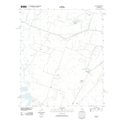 2010 Comyn2010 Print · USGSThe rural landscape near Dublin, Texas, is captured here during the first decade of the millennium. Genealogists and local researchers can trace family landmarks like Hanson Cemetery, Cow Creek Cemetery, and the small settlements at Comyn and Roch.
 - 2010 Map of Carlton, 2010 Print
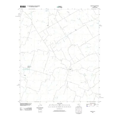 2010 Carlton2010 Print · USGSHamilton County ranching and farming lands are captured here at the start of the decade, centered on the community of Carlton. Genealogists and local historians can locate family burial sites at Turribow Cemetery, Altman Cemetery, and Midway Cemetery among the creek valleys.
 - 2010 Map of Stephenville, 2010 Print
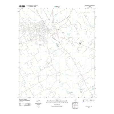 2010 Stephenville2010 Print · USGSStephenville and the surrounding Erath County ranch lands are shown here in the early twenty-first century as the city expanded along the North Bosque River. Researchers can locate numerous local landmarks including the West End Cemetery, Welcome Valley, and the Clark Field Municipal Airport.
 - 2010 Map of Morgan Mill, 2010 Print
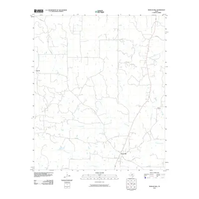 2010 Morgan Mill2010 Print · USGSMorgan Mill and the surrounding Erath County countryside are documented here in the early twenty-first century. Researchers can trace local lineage at Hightower Cemetery or follow the paths of the North Paluxy River, Germany Creek, and Sapoak.
 - 2010 Map of Bluff Dale NE, 2010 Print
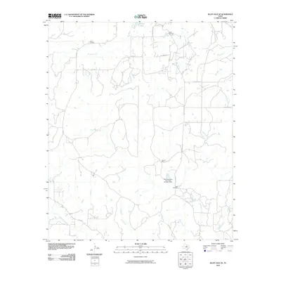 2010 Bluff Dale NE2010 Print · USGSHood County ranching lands and intricate watersheds are captured here at the start of the decade. Genealogists and local historians can locate Bishop Cemetery and the Houston Ranch or trace the many branches of the North Paluxy River.
 - 2010 Map of Turkey Creek, 2010 Print
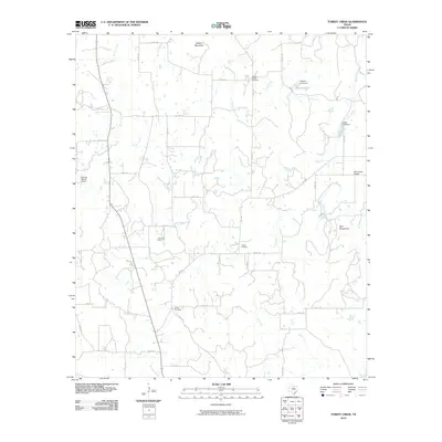 2010 Turkey Creek2010 Print · USGSErath County's ranching and gas-producing country is documented here in the early twenty-first century. Researchers can locate family burial grounds like X-Ray Cemetery and Russel Chapel Cemetery or trace water features like Stewart Lake.
 - 2010 Map of Knob Hill, 2010 Print
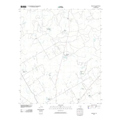 2010 Knob Hill2010 Print · USGSErath County in the early twenty-first century remains a landscape of quiet rural settlements and active conservation sites. Researchers can trace ancestral roots through several local burial grounds, including Morton Chapel Cemetery, Bethel Cemetery, and the eponymous Knob Hill Cemetery.
 - 2010 Map of Huckabay, 2010 Print
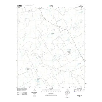 2010 Huckabay2010 Print · USGSErath County's ranching and dairy heartland is captured here in the early twenty-first century, showing the rural communities of Huckabay and Hannibal. Genealogists can locate family landmarks like Hannibal Cemetery and Mount Pleasant Cemetery among the many conservation dams.
 - 2010 Map of Camp Branch, 2010 Print
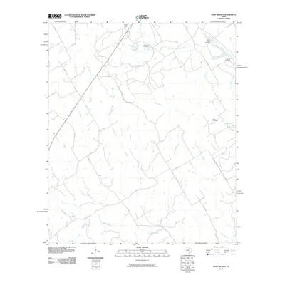 2010 Camp Branch2010 Print · USGSErath County ranchlands are documented here in the early twenty-first century, showing the enduring rural layout of central Texas. Genealogists and local historians can locate the Flanary Cemetery and trace the paths of Duffau Creek and the East Bosque River.
 - 2010 Map of Chalk Mountain, 2010 Print
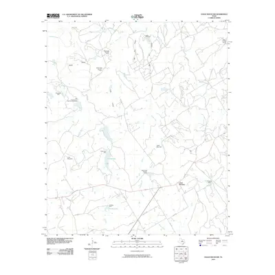 2010 Chalk Mountain2010 Print · USGSChalk Mountain and the surrounding Erath County ranch lands are shown here at the start of the decade, revealing a landscape defined by livestock and water management. Researchers can locate family land near Lone Mountain, trace the drainage of the East Bosque River, or identify local landmarks like the Circle P Ranch Airport.
 - 2010 Map of Clairette, 2010 Print
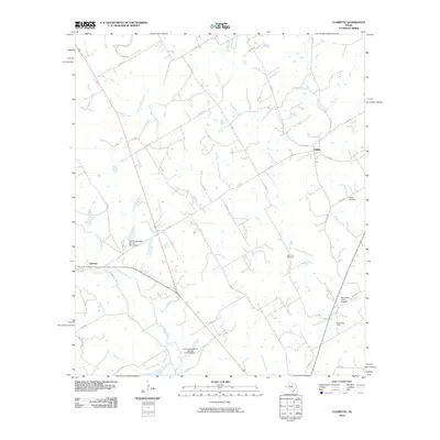 2010 Clairette2010 Print · USGSSettlement in rural Central Texas is centered on the communities of Clairette and Duffau during the first decade of the 21st century. Researchers can trace family-named sites and landmarks like Millerville Cemetery, Ray Smith Farm Airport, and the North Bosque River.
 - 2010 Map of Johnsville, 2010 Print
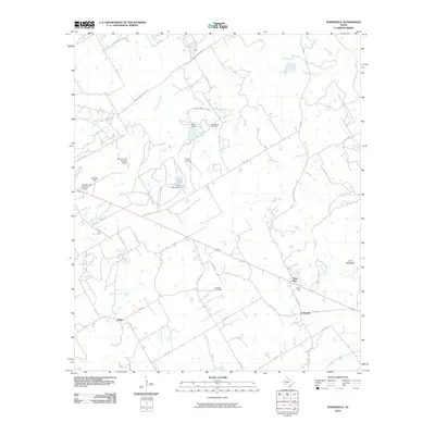 2010 Johnsville2010 Print · USGSThe rural expanses of Erath County are detailed here in the early twenty-first century, showing a landscape defined by ranching roads and water management. Genealogists can trace family connections at Humberson Cemetery or Aycock Cemetery and locate the small communities of Selden and Three Way.
 - 2010 Map of Huckabay SW, 2010 Print
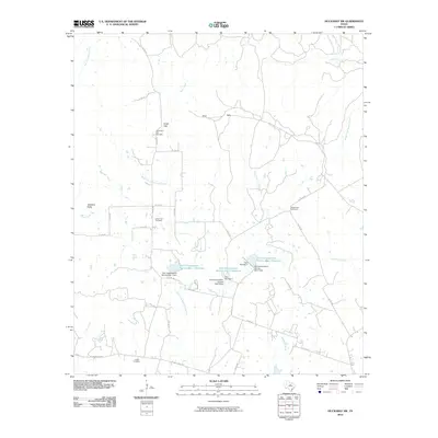 2010 Huckabay SW2010 Print · USGSThe rural landscape of Erath County appears here during the first decade of the 21st century, showing a network of ranch roads and conservation dams. Genealogists can trace family burial sites at Old School Hill Cemetery or Lowell Cemetery near Hog Creek.
 - 2010 Map of Walnut Springs West, 2010 Print
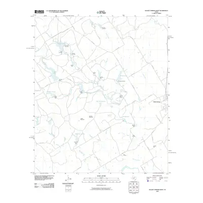 2010 Walnut Springs West2010 Print · USGSWalnut Springs and the sprawling cattle country of Bosque County are documented here in the early 2000s. Researchers can locate family landmarks like Fulton Cemetery or trace the vast water systems of the Flat Top Ranch, including Ownsby Lake and Twin Arena Lake.
 - 2010 Map of Bluff Dale, 2010 Print
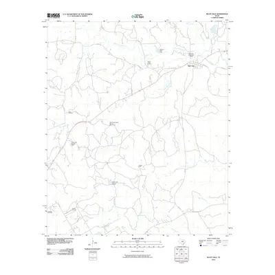 2010 Bluff Dale2010 Print · USGSErath County ranch land and river bottoms are captured here in the early twenty-first century as the forks of the Paluxy River meet. Genealogists and local historians can trace family ties at Wesley Chapel Cemetery, Acrea Cemetery, and the Bluff Dale Suspension Bridge.
 - 2010 Map of Santo, 2010 Print
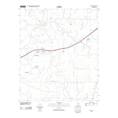 2010 Santo2010 Print · USGSSanto and the surrounding Palo Pinto hill country are captured here in the early twenty-first century. Local historians can trace family burial grounds at Brannon Cemetery or Bosley Cemetery and locate numerous historic ranch-water dams like E J Porter Lake Dam.
 - 2010 Map of Gordon, 2010 Print
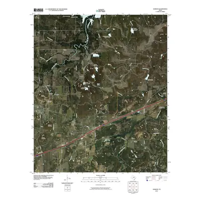 2010 Gordon2010 Print · USGSGordon and the surrounding Palo Pinto County countryside are documented here in the early twenty-first century. Genealogists and local historians can locate numerous family burial grounds like Old Gordon Cemetery and trace the paths of Palo Pinto Creek through Coalville.
 - 2010 Map of Strawn East, 2010 Print
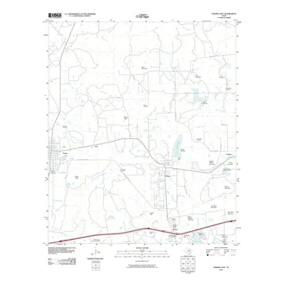 2010 Strawn East2010 Print · USGSThe industrial and social heritage of Palo Pinto County is preserved in this map of the corridor between Strawn and Gordon. Trace the legacy of company towns and family history through the Thurber Historic District, Boles Rector Oil Field, and McSpadden Cemetery.
 - 2010 Map of Lipan, 2010 Print
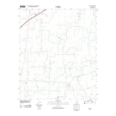 2010 Lipan2010 Print · USGSThe rural landscape of Hood County is captured here in the early twenty-first century, centered on the community of Lipan. Genealogists and local historians can trace family-named sites like Evergreen Cemetery, Hill Cemetery, and the high ground of Potato Hill.
 - 2010 Map of Dublin, 2010 Print
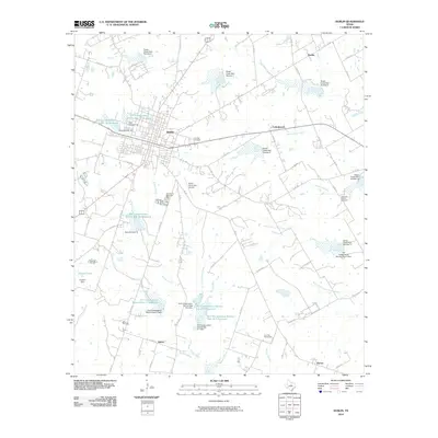 2010 Dublin2010 Print · USGSDublin and its surrounding farmsteads are shown here during a period of significant watershed management and local growth. Genealogists and historians can locate legacy sites like Live Oak Cemetery, Heavenly Branch Cemetery, and the old settlement at Harbin.
 - 2010 Map of Alexander, 2010 Print
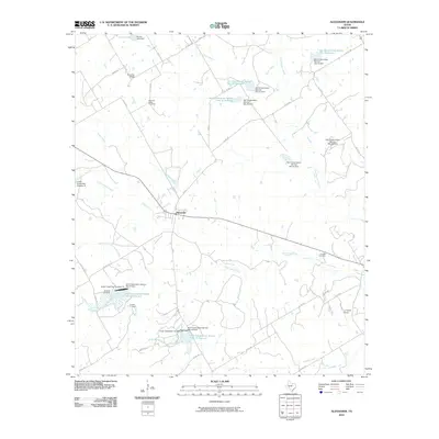 2010 Alexander2010 Print · USGSErath County's rural character is preserved in this study of the landscape surrounding the settlement of Alexander. Researchers can trace old family burial sites like Bowman Ridge Cemetery and Caudle Cemetery alongside the region's extensive network of conservation reservoirs.
Showing maps 1-25 of 116
Top cities of Erath County
- Stephenville historical maps
- Dublin historical maps
- Stephenville Country Club Lake historical maps
- Thurber historical maps
Frequently asked questions
- What are the different types of historical maps available for Erath County?
- What is the oldest map of Erath County?
- Where can I purchase historical maps of Erath County for my home or office?
- Where can I download high-res historical maps of Erath County?
- Are there historical topographic maps available for Erath County?
- Is there historical aerial imagery available for Erath County?
- Where are historical maps of Erath County sourced from?