2020s Maps of Erath County, Texas
Explore 29 historic maps of Erath County from the 2020s. These maps offer a rare glimpse into what life looked like during the 2020s — showing old roads, neighborhoods, homes, and landmarks that have changed or disappeared over time.
Whether you're researching your family's past, planning a metal detecting trip, or studying how Erath County's landscape evolved across the 2020s, these high-resolution maps are a powerful tool for exploring the history of this region.
- Focus on a specific era: All maps on this page are from the 2020s, giving you a focused view of this time period.
- See what’s changed: Compare century-old streets, trails, and buildings to today's modern landscape using overlays and satellite layers.
- Research with precision: Use these maps for genealogy, historical research, land use analysis, or educational projects.
- View, download, or print: Maps are fully viewable online in high resolution, and can be downloaded or printed for your own records.
Start exploring Erath County's history through authentic maps from the 2020s. This is your window into the past.
Erath County, TX maps
(29)- 2022 Map of Lipan, 2022 Print
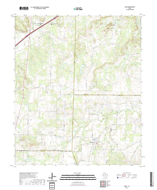 2022 Lipan2022 Print · USGSLipan and its surrounding ranch lands appear in detail at the intersection of Hood, Erath, and Palo Pinto counties in the early 2020s. Genealogists can trace family burial sites at Evergreen Cem and New Salem Cem or locate landmarks like Double Mtn.
 - 2022 Map of Huckabay SW, 2022 Print
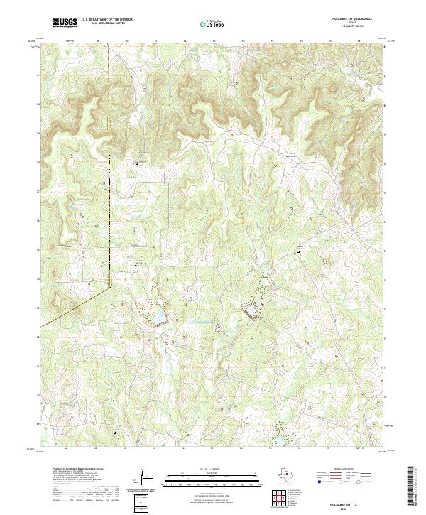 2022 Huckabay SW2022 Print · USGSThe rural uplands of Erath County are shown here in the modern era, capturing a landscape of family-named creeks and historic burial sites. Genealogists can locate Old School Hill Cem, Mount Zion Cem, and landmarks like Smith Gap.
 - 2022 Map of Johnsville, 2022 Print
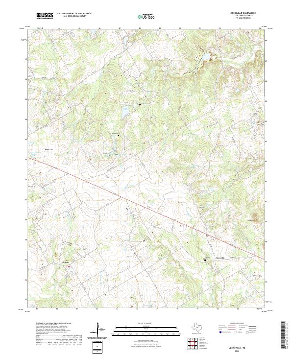 2022 Johnsville2022 Print · USGSTexas ranching country in Erath County comes to life through this recent survey of rural settlements and family landmarks. Genealogists can locate several historic burial sites, including Humberson Cem and Pony Creek Cem, near the crossroads of Selden and Johnsville.
 - 2022 Map of Clairette, 2022 Print
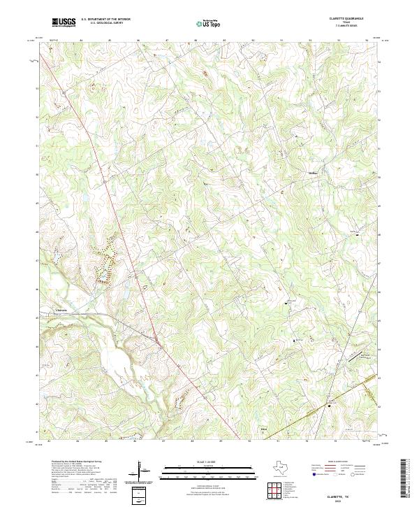 2022 Clairette2022 Print · USGSCrossing the borders of Erath and Hamilton counties, this contemporary survey illustrates the enduring rural layout of central Texas. Genealogists can trace family heritage through local burial grounds like Millerville Cem and Byrd Cem or explore the drainage of the North Bosque River.
 - 2022 Map of Knob Hill, 2022 Print
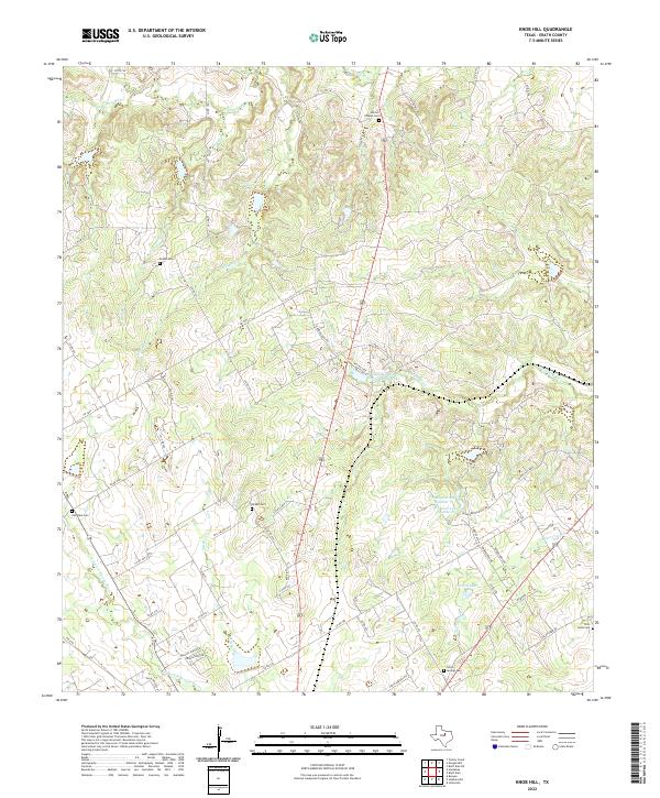 2022 Knob Hill2022 Print · USGSErath County in the twenty-first century maintains its rural character through an intricate network of country roads and creek-cut valleys. Genealogists can locate several historic burial sites like Smith Springs Cem and Pilot Knob Cem along the N Paluxy River.
 - 2022 Map of Comyn, 2022 Print
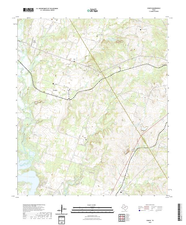 2022 Comyn2022 Print · USGSThe rural borderlands between Comanche and Erath Counties are captured here in the early twenty-first century. Genealogists and local historians can trace family ties through numerous burial sites like Cow Creek Cem and Floyd Cem, while mapping the drainage of the Leon River and Sowells Creek.
 - 2022 Map of Huckabay, 2022 Print
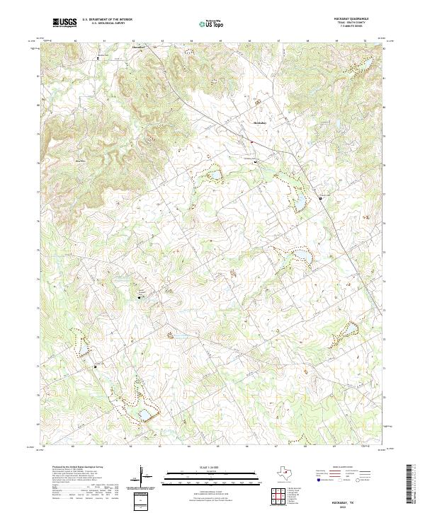 2022 Huckabay2022 Print · USGSHuckabay and the surrounding Erath County countryside are captured here in the early twenty-first century as the landscape remains tied to its river forks and ranching roots. Researchers can trace family history through numerous rural burial sites like Hannibal Cem, Everett Cem, and Mount Pleasant Cem.
 - 2022 Map of Rucker, 2022 Print
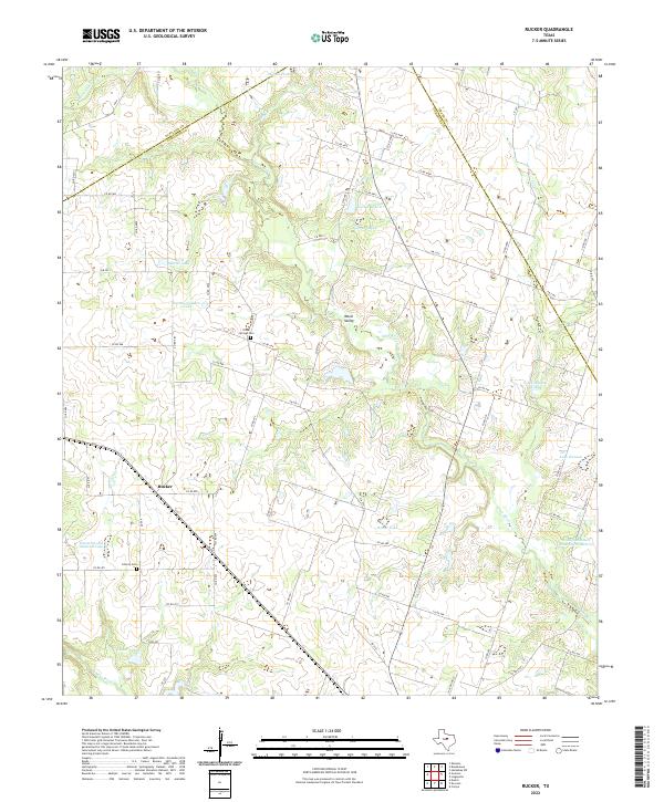 2022 Rucker2022 Print · USGSCentral Texas ranching country comes into focus here during the early twenty-first century, specifically where the Leon and Sabana rivers meet. Researchers can trace family history at Oliver Springs Cem and Liberty Cem or explore the rural community of Rucker.
 - 2022 Map of Reddy Mountain, 2022 Print
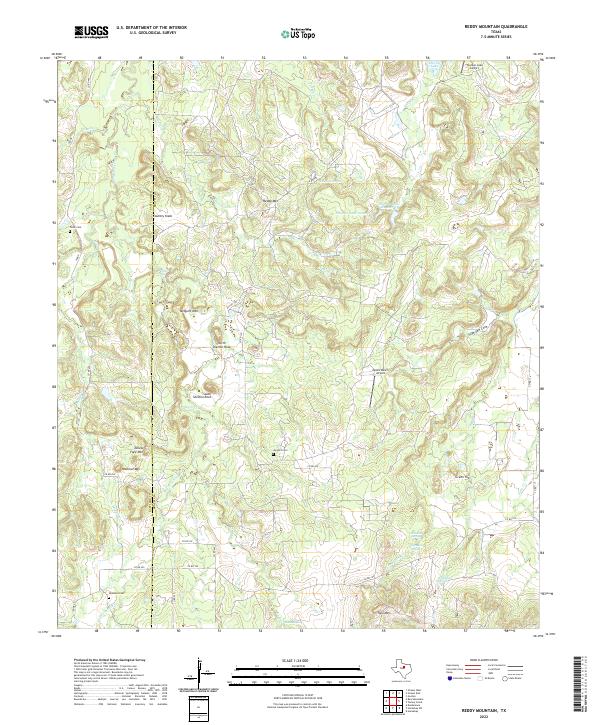 2022 Reddy Mountain2022 Print · USGSThe Eastland and Erath county line reveals a landscape of high ridgelines and hidden springs in the early twenty-first century. Genealogists and local historians can trace family roots at Jay Bird Cem or locate rural landmarks like Tallow Face Mtn and Rock Hole Spring.
 - 2022 Map of Bluff Dale NE, 2022 Print
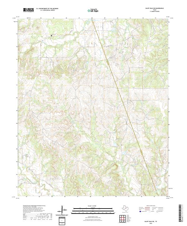 2022 Bluff Dale NE2022 Print · USGSThe rural borderlands between Erath and Hood Counties are documented here as they appeared recently. Genealogists and local historians can locate Bishop Cem and trace the headwaters of the N Paluxy River and Kickapoo Cr.
 - 2022 Map of Alexander, 2022 Print
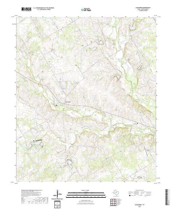 2022 Alexander2022 Print · USGSThe rural community of Alexander remains a focal point in this Central Texas landscape during the early 2020s. Genealogists can locate several family burial sites including Hancock Cem, Clairette Cem, and Bowman Ridge Cem.
 - 2022 Map of Lingleville, 2022 Print
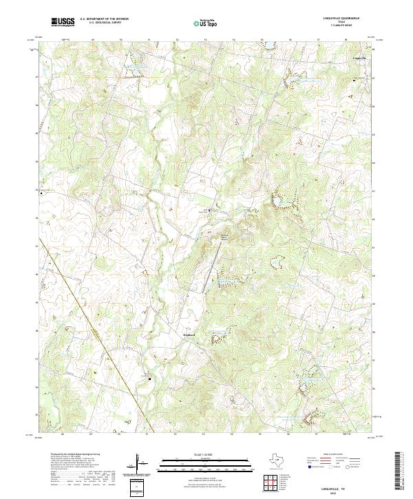 2022 Lingleville2022 Print · USGSModern ranching and deep-rooted Texas history meet along the Erath and Comanche county line in this 2020s study. Genealogists can locate family burial sites at Round Grove Cem and Beth Haven Cem while tracing the waters of the Leon River.
 - 2022 Map of Morgan Mill, 2022 Print
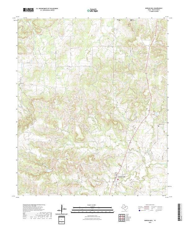 2022 Morgan Mill2022 Print · USGSThe rural reaches of Erath County are seen here in the early 2020s, centered on the settlement of Morgan Mill. Genealogists and researchers can locate several local burial grounds, including Mount Pisgah Cem and Sap Oak Cem, alongside the headwaters of the Paluxy River.
 - 2022 Map of Desdemona, 2022 Print
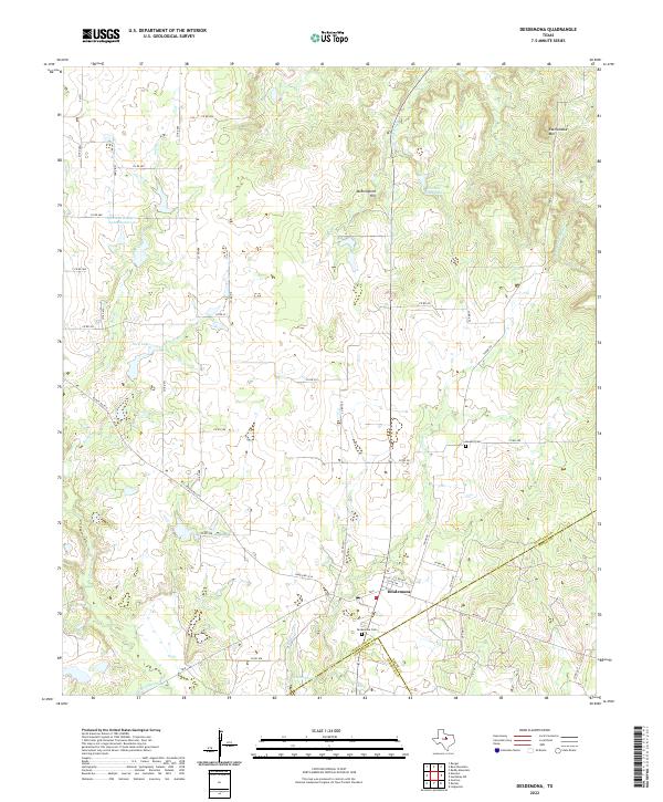 2022 Desdemona2022 Print · USGSThe community of Desdemona sits at a tri-county junction in West Texas during the early 2020s, surrounded by ranching lands and seasonal creek beds. Genealogists and local historians can trace property boundaries and landmarks like Desdemona Cem, Howard Cem, and Mockingbird Hill.
 - 2022 Map of Stephenville, 2022 Print
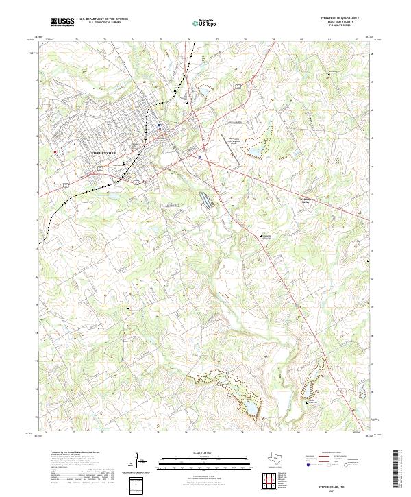 2022 Stephenville2022 Print · USGSThe Erath County seat and the expanding campus of Tarleton State University are documented here in the early twenty-first century. Genealogists can trace family names and locations at the Allard Cem, Mount Olive Cem, and across the quiet settlement of Welcome Valley.
 - 2022 Map of Gordon, 2022 Print
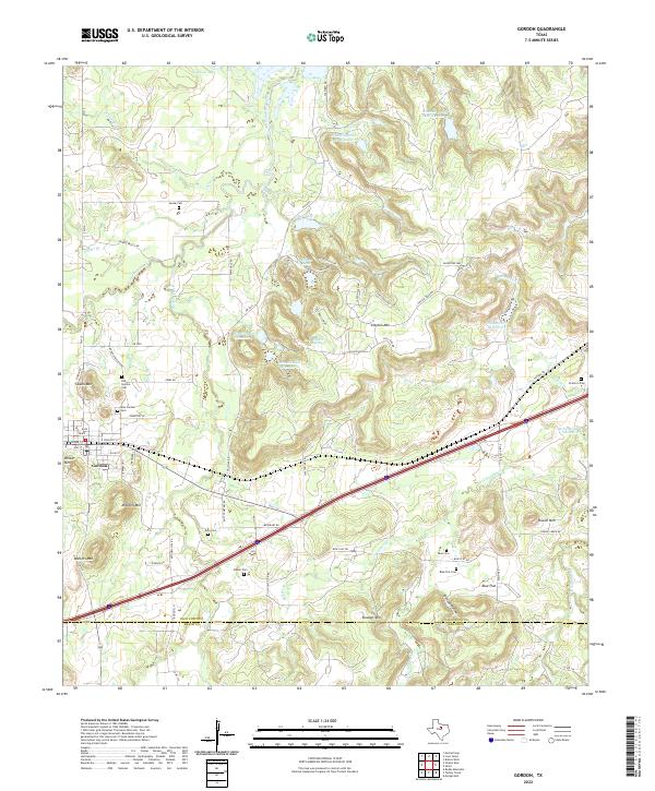 2022 Gordon2022 Print · USGSGordon and the surrounding ranchlands are documented here in the early 2020s, showing a landscape defined by cattle country and family history. Genealogists can locate several historic burial sites, such as Doty Cem, Brierton Cem, and the Blue Cem near Blue Flat.
 - 2022 Map of Santo, 2022 Print
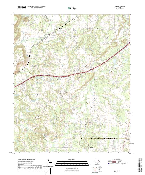 2022 Santo2022 Print · USGSThe rural crossing at the Palo Pinto and Erath county line is captured here as it appeared in recent years. Genealogists can trace family burial sites at Santo North Cem, Bosley Cem, or Tarleton Cem near the settlement of Patillo.
 - 2022 Map of Bunyan, 2022 Print
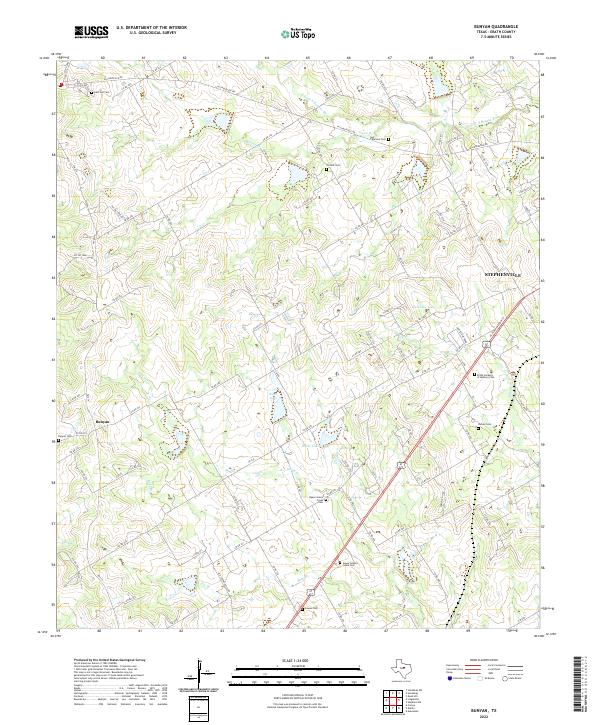 2022 Bunyan2022 Print · USGSIn the early 2020s, the rural reaches of Erath County remain anchored by historic family sites and the waters of the North Bosque. Genealogists can trace local heritage at Bunyan Cem, Corinth Cem, or the quiet banks of Green Cr.
 - 2022 Map of Bluff Dale, 2022 Print
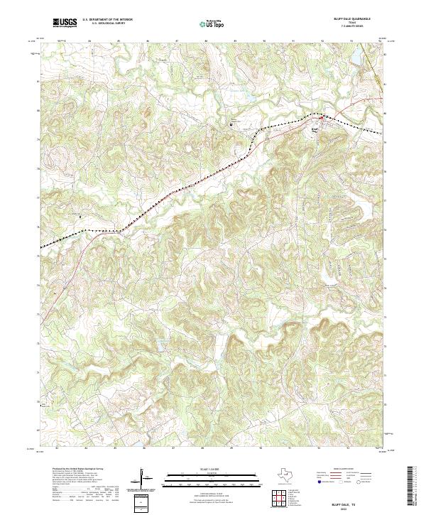 2022 Bluff Dale2022 Print · USGSBluff Dale and the Erath County countryside are captured here in the early twenty-first century as the Paluxy River forks continue to shape the landscape. Local historians can trace family burial sites at Wesley Chapel Cem or Acrea Cem and locate rural landmarks like Spindor Lake.
 - 2022 Map of Turkey Creek, 2022 Print
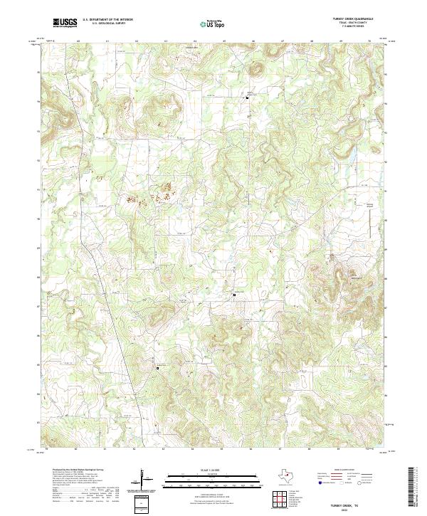 2022 Turkey Creek2022 Print · USGSErath County's rural heartland is documented in this modern survey, revealing the enduring settlement patterns of North Central Texas. Genealogists and local historians can trace family land proximity to Exray Cem, Deaton Mtn, and Stewart Lake.
 - 2022 Map of Edna Hill, 2022 Print
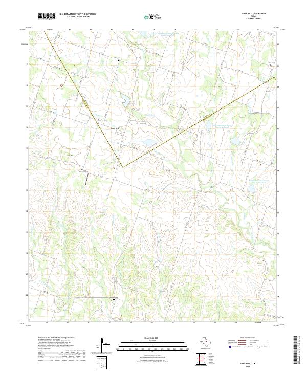 2022 Edna Hill2022 Print · USGSThe ranch lands of the Texas Hill Country transition into the plains near Edna Hill in this recent 2022 survey. Genealogists and local historians can locate several family burial sites including Barbee Cemetery and Hazeldell Cemetery.
 - 2022 Map of Carlton, 2022 Print
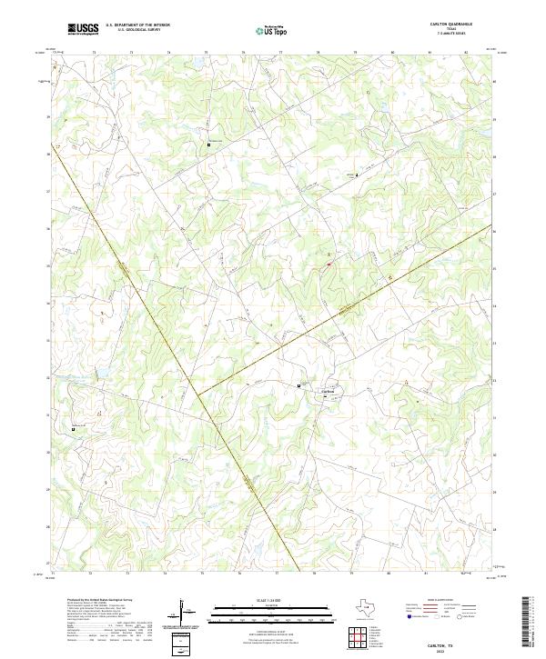 2022 Carlton2022 Print · USGSCentered on the community of Carlton in the early twenty-first century, this map shows the rural intersections of Hamilton and Erath counties. Genealogists can locate several local landmarks including Carlton Cem, Midway Cem, and the waters of Wolf Prong Cr.
 - 2022 Map of Hico, 2022 Print
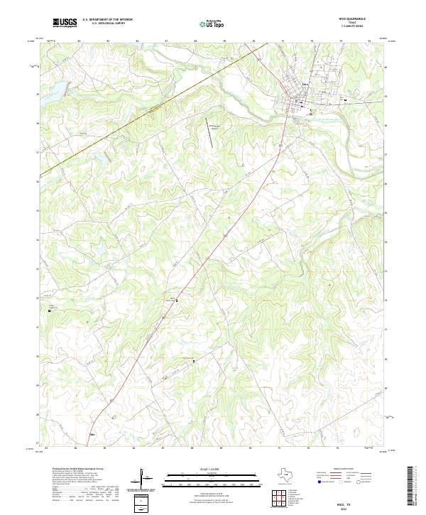 2022 Hico2022 Print · USGSCentral Texas ranching and river lands come into focus during the early twenty-first century as the town of Hico continues to anchor the regional economy. Researchers can locate family landmarks like the Black Family Cem and Honey Creek Cem among the bends of the North Bosque River.
 - 2022 Map of Strawn East, 2022 Print
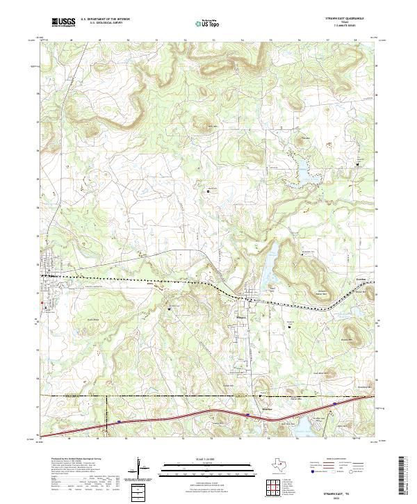 2022 Strawn East2022 Print · USGSThe rail-corridor towns of Strawn and Mingus are documented here in the contemporary era, highlighting a landscape rich in industrial and family history. Researchers can locate numerous burial grounds like McSpadden Cem or trace terrain features like Steam Shovel Mtn and the Union Pacific Railroad.
 - 2022 Map of Dublin, 2022 Print
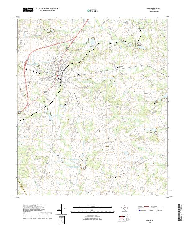 2022 Dublin2022 Print · USGSModern Erath County agriculture and aviation meet at this rural Texas crossroads near the turn of the 21st century. Researchers can trace family sites at Live Oak Cem, locate the smaller settlements of Harbin and Purves, or survey the reaches of Resley Cr.
Showing maps 1-25 of 29
Top cities of Erath County
- Stephenville historical maps
- Dublin historical maps
- Stephenville Country Club Lake historical maps
- Thurber historical maps
Frequently asked questions
- What are the different types of historical maps available for Erath County?
- What is the oldest map of Erath County?
- Where can I purchase historical maps of Erath County for my home or office?
- Where can I download high-res historical maps of Erath County?
- Are there historical topographic maps available for Erath County?
- Is there historical aerial imagery available for Erath County?
- Where are historical maps of Erath County sourced from?