2020s Maps of Fayette County, Texas
Explore 24 historic maps of Fayette County from the 2020s. These maps offer a rare glimpse into what life looked like during the 2020s — showing old roads, neighborhoods, homes, and landmarks that have changed or disappeared over time.
Whether you're researching your family's past, planning a metal detecting trip, or studying how Fayette County's landscape evolved across the 2020s, these high-resolution maps are a powerful tool for exploring the history of this region.
- Focus on a specific era: All maps on this page are from the 2020s, giving you a focused view of this time period.
- See what’s changed: Compare century-old streets, trails, and buildings to today's modern landscape using overlays and satellite layers.
- Research with precision: Use these maps for genealogy, historical research, land use analysis, or educational projects.
- View, download, or print: Maps are fully viewable online in high resolution, and can be downloaded or printed for your own records.
Start exploring Fayette County's history through authentic maps from the 2020s. This is your window into the past.
Fayette County, TX maps
(24)- 2022 Map of Ammannsville, 2022 Print
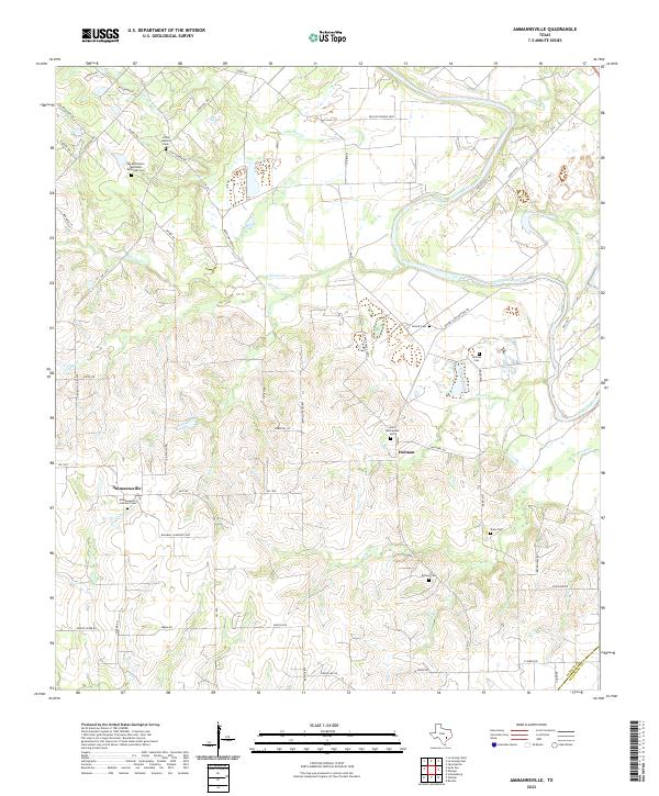 2022 Ammannsville2022 Print · USGSFayette County settlement and the winding Colorado River are detailed here in this recent survey. Researchers can trace local lineage through numerous sites including Ammannsville Catholic Cem, Saint Wenceslaus Cem, and Holman Cem.
 - 2022 Map of Weimar, 2022 Print
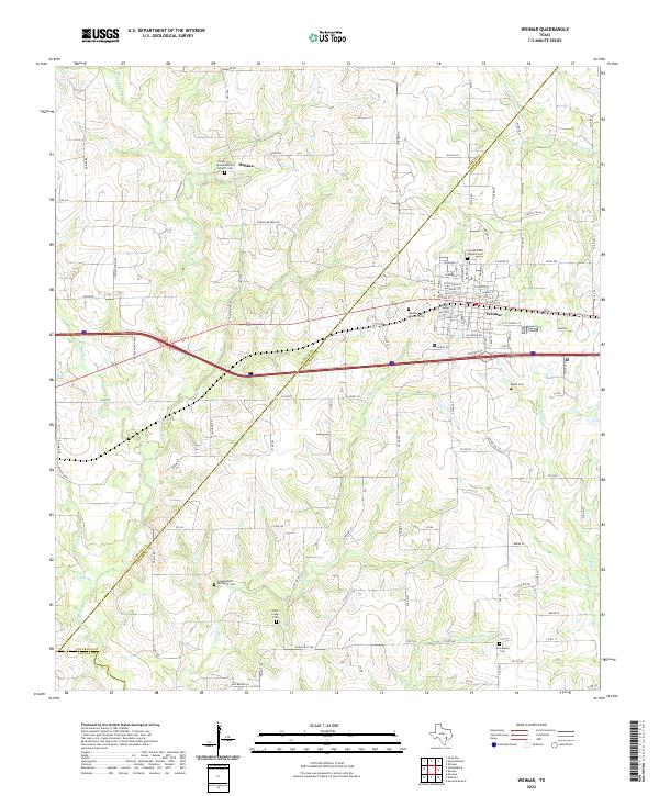 2022 Weimar2022 Print · USGSThe Colorado and Fayette county line country comes alive in this modern survey of the Weimar area. Genealogists and historians can trace family roots through numerous burial sites like Saints Cyril and Methodius Catholic Cem, Boer Cem, and the settlement at Dubina.
 - 2022 Map of Swiss Alp, 2022 Print
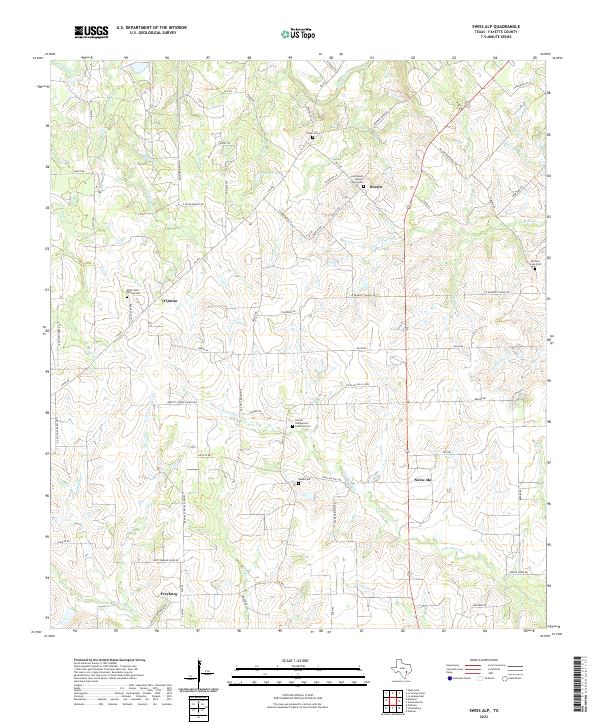 2022 Swiss Alp2022 Print · USGSFayette County's rural heritage is preserved here in the early twenty-first century, showing the small communities and family lands east of the Navidad forks. Researchers can trace ancestral roots through sites like Holy Rosary Catholic Church Cem and the old settlement at Swiss Alp.
 - 2022 Map of Ellinger, 2022 Print
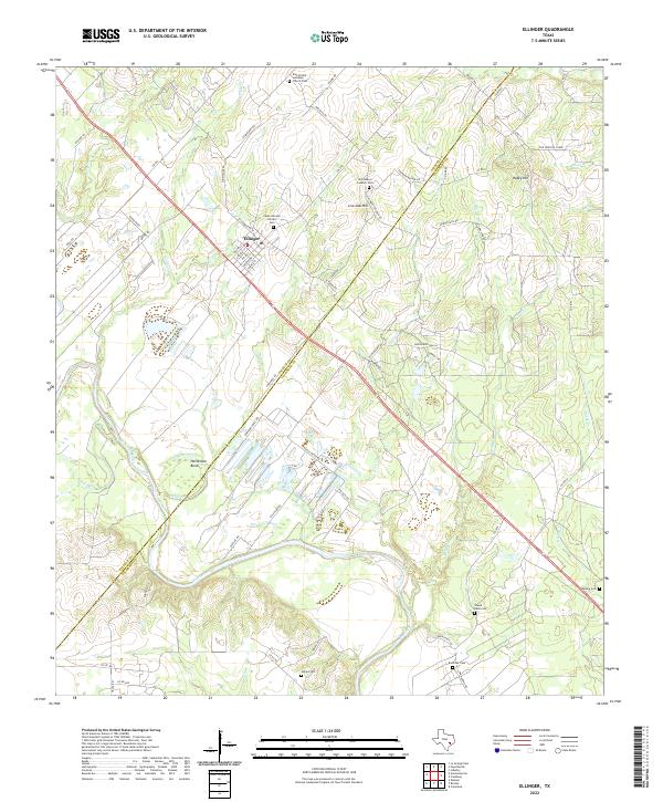 2022 Ellinger2022 Print · USGSFayette and Colorado counties meet here at the bend of the river in the modern day. Genealogists and historians can trace numerous rural burial grounds including Cesko Narodni Hrbitov Cem, Shaws Bend Cem, and Adkins Cem.
 - 2022 Map of La Grange East, 2022 Print
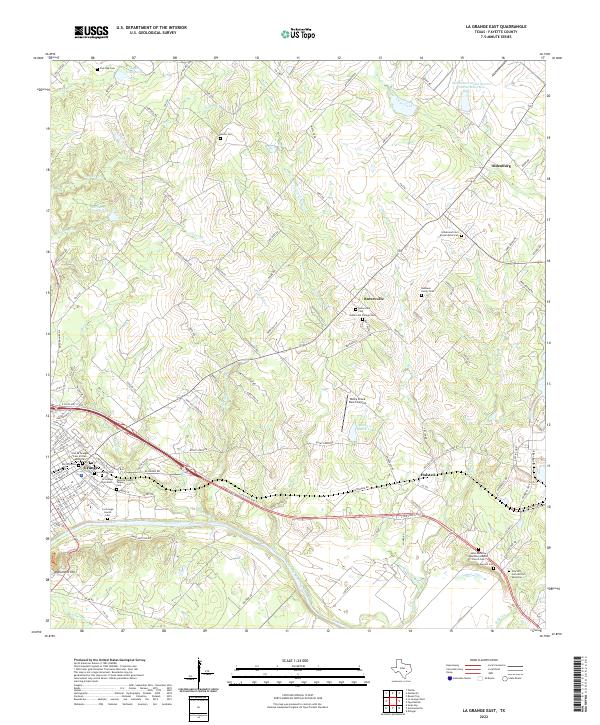 2022 La Grange East2022 Print · USGSFayette County's river-bend geography and diverse community history are on display in this contemporary survey. Researchers can trace numerous family and community sites, from the La Grange Jewish Cem to the Rutersville College Cem and Monument Hill.
 - 2022 Map of Schulenburg, 2022 Print
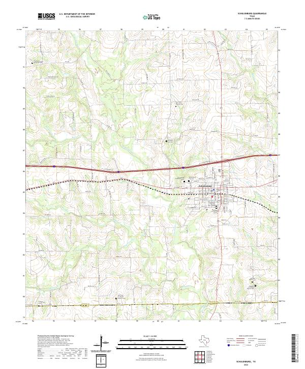 2022 Schulenburg2022 Print · USGSSchulenburg and the surrounding Fayette County countryside are shown here in the early twenty-first century. Genealogists can locate several historic burial sites, including Old High Hill Cem, Fitzgerald Cem, and Navidad Baptist Cem.
 - 2022 Map of Industry, 2022 Print
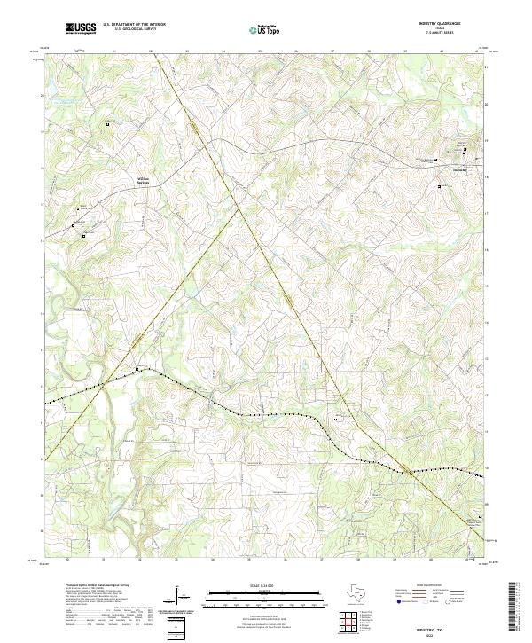 2022 Industry2022 Print · USGSThe rural Texas landscape around Industry and Willow Springs is captured here at the start of the 2020s. Genealogists can trace family heritage through numerous sites like Industry Brethren Church Cem, Pagel Cem, and the Austin County Paupers Cem Number Two.
 - 2022 Map of Fayetteville, 2022 Print
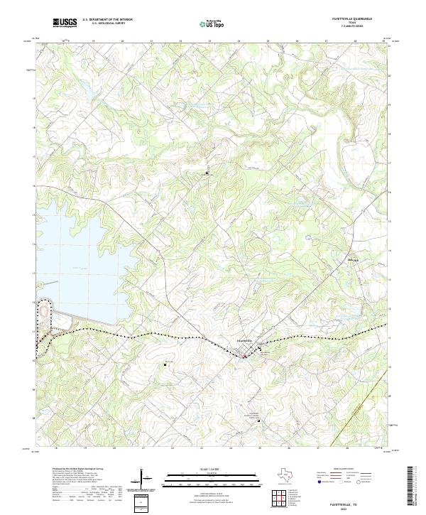 2022 Fayetteville2022 Print · USGSFayetteville and its rural surroundings are captured here in the early twenty-first century, showing a landscape shaped by both history and modern water management. Genealogists can locate family landmarks like Eilers Cem, Halamicek Cem, and the high ground at Rek Hill.
 - 2022 Map of La Grange West, 2022 Print
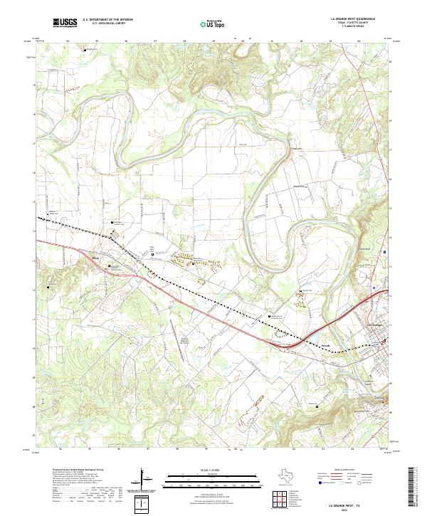 2022 La Grange West2022 Print · USGSFayette County settlement and the river valley are captured here in the early twenty-first century. Researchers can trace family history through numerous rural landmarks like Plum Grove Cem, Saint James Church, and Rabbs Prairie.
 - 2022 Map of Carmine, 2022 Print
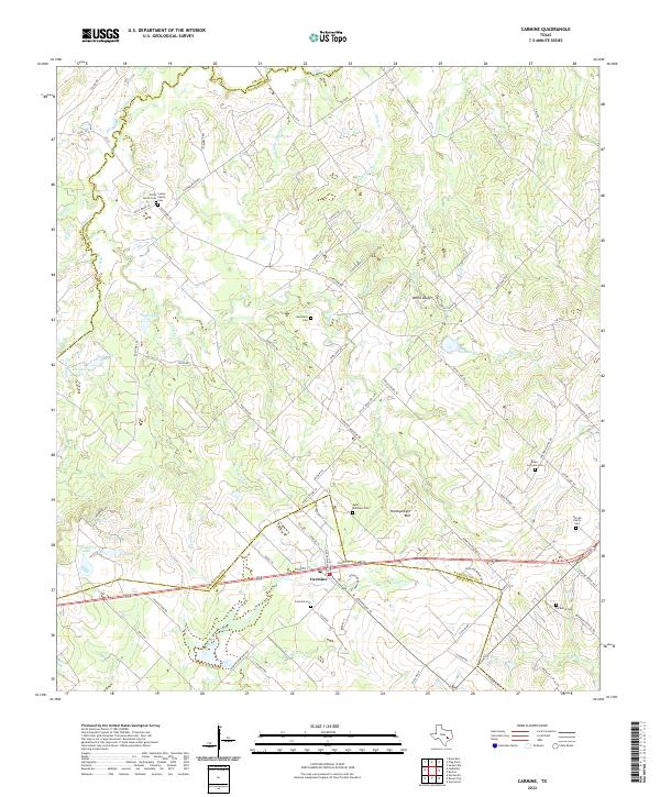 2022 Carmine2022 Print · USGSThe rural landscape around Carmine at the Fayette and Washington county line is documented here in the early twenty-first century. Genealogists can trace family heritage through numerous sites like White Union Cem, La Bahia Cem, and the Loewe Family Cem.
 - 2022 Map of Warda, 2022 Print
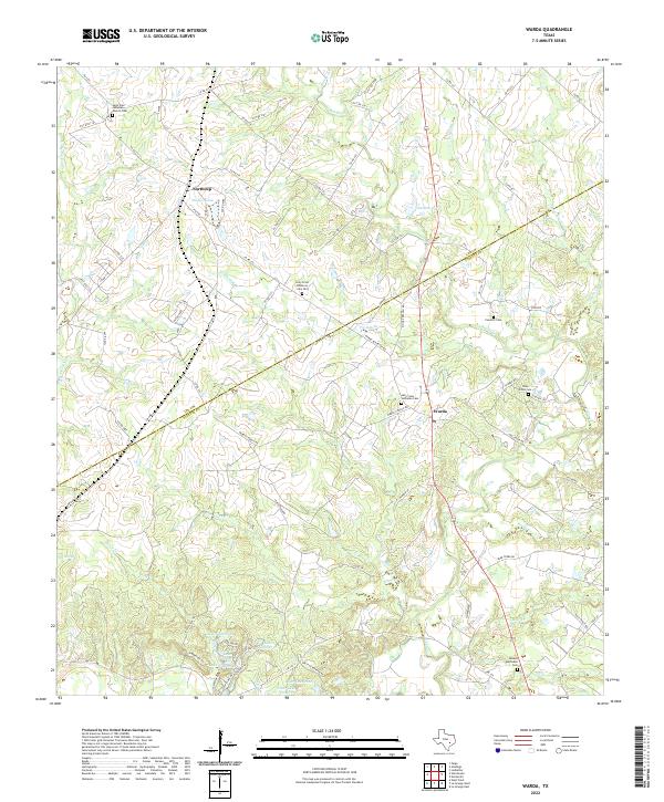 2022 Warda2022 Print · USGSThe Fayette and Lee county line in the early 2020s preserves a landscape of traditional German-Texan settlements and family-named creek branches. Genealogists can trace rural roots at Holy Cross Lutheran Cem, Besade Methodist Cem, and the historic Northrup area.
 - 2022 Map of Nechanitz, 2022 Print
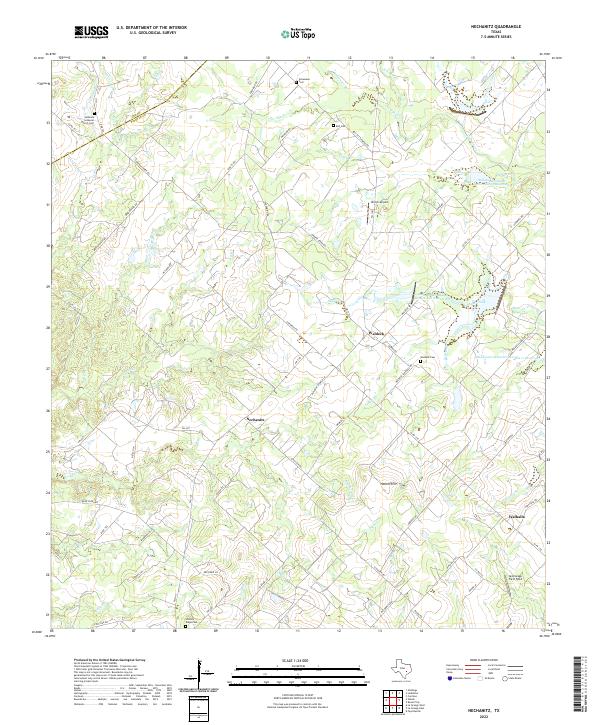 2022 Nechanitz2022 Print · USGSLife in central Texas revolves around the small communities of Nechanitz and Waldeck in this recent look at Fayette County. Genealogists can trace family names through several rural burial grounds like Hickory Ridge Cem and Bell Cem while following old creek lines.
 - 2022 Map of Ledbetter, 2022 Print
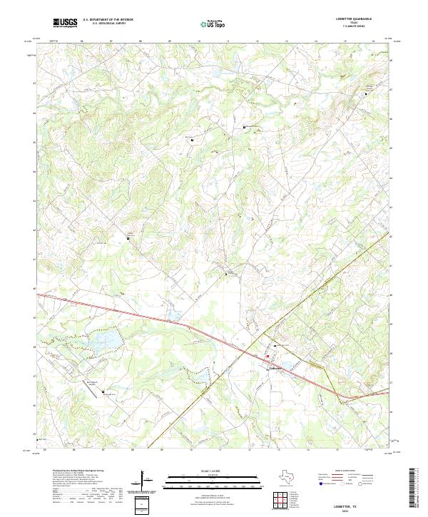 2022 Ledbetter2022 Print · USGSLedbetter and the surrounding tri-county borderlands of Lee, Washington, and Fayette counties are shown here in recent detail. Genealogists and local historians can locate several rural burial sites, including Globe Hill Cem, Ledbetter Cem, and the Post Oak Sunny Side Cem.
 - 2022 Map of Greenvine, 2022 Print
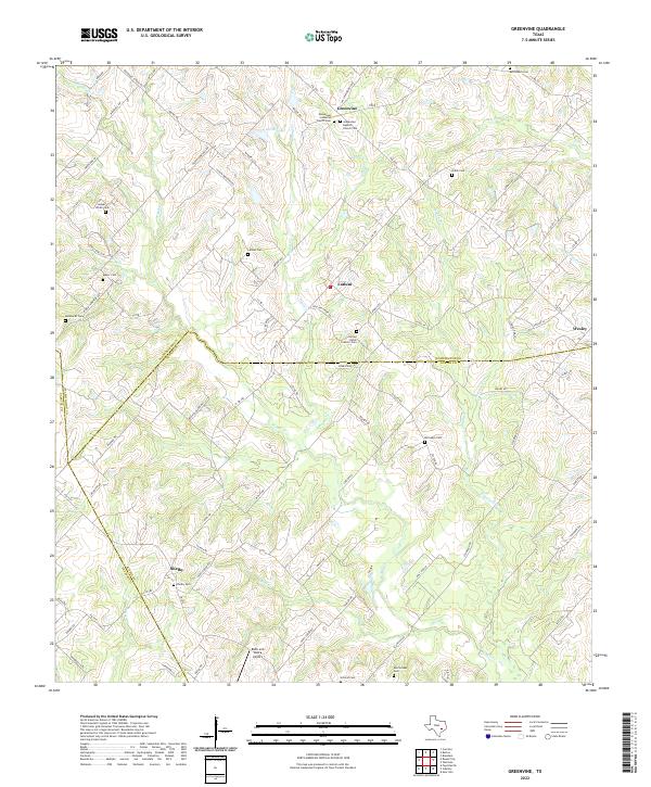 2022 Greenvine2022 Print · USGSThe rural borderlands of Washington and Austin counties are revealed here in the 2020s, showcasing a landscape of historic crossroads and family farmsteads. Genealogists can trace deep local roots at Latium, Shelby, and numerous burial sites like Union Cem and Sacred Heart Catholic Cem.
 - 2022 Map of Round Top, 2022 Print
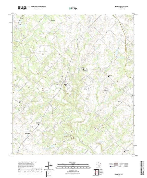 2022 Round Top2022 Print · USGSFayette County’s rolling landscape near Round Top is documented here in its modern rural character. Genealogists and historians can trace family ties through numerous sites like Bethlehem Lutheran Cem, Richter Cem, and Drawe Cem.
 - 2022 Map of Cistern, 2022 Print
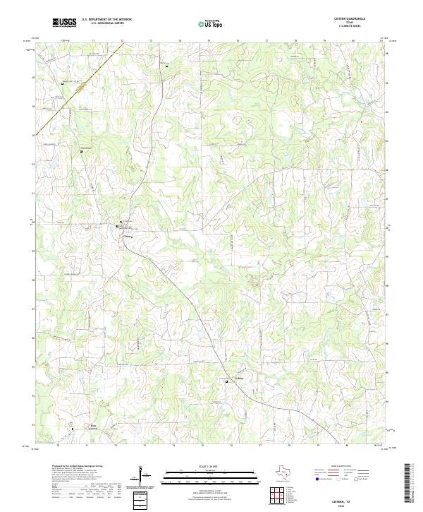 2022 Cistern2022 Print · USGSThe rural borders of Fayette and Bastrop Counties come into focus in this contemporary study of agricultural Texas. Genealogists can locate family legacies at Saints Cyril and Methodius Catholic Cem, Rector Cem, and Elm Grove.
 - 2022 Map of Muldoon, 2022 Print
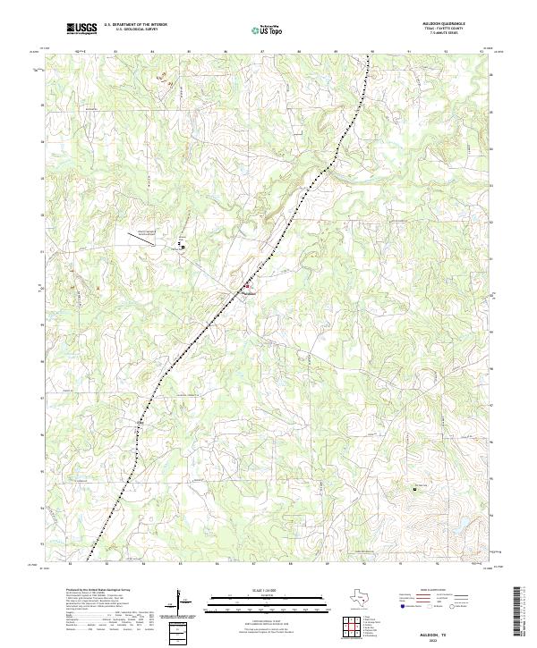 2022 Muldoon2022 Print · USGSThe rural landscape of Fayette County is captured here in the early 2020s, centered on the historic crossroads at Muldoon. Researchers can trace local family lineages through several documented burial sites, including Henson Cem and Pin Oak Cem, or follow the winding course of Buckners Creek.
 - 2022 Map of Jeddo, 2022 Print
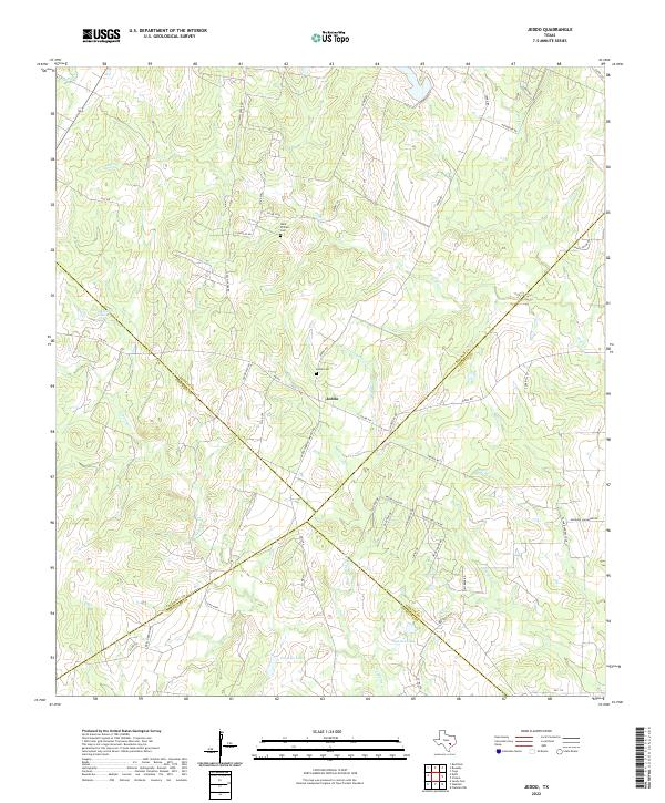 2022 Jeddo2022 Print · USGSThe rural crossroads of Jeddo and its neighboring county borders are captured here in the early twenty-first century. Genealogists and local historians can locate family burial sites at Saint Phillips Cem and Jeddo Cem or trace the winding course of Peach Cr.
 - 2022 Map of Waelder, 2022 Print
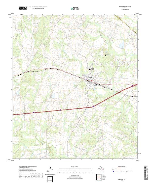 2022 Waelder2022 Print · USGSWaelder and the surrounding Gonzales County plains are documented here in the early twenty-first century as a rural hub defined by its creek valleys. Genealogists can trace several distinct burial grounds including Hopkinsville Masonic Cem and McVea Cem.
 - 2022 Map of West Point, 2022 Print
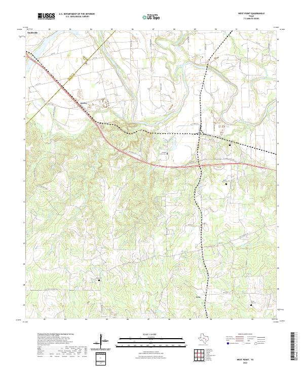 2022 West Point2022 Print · USGSThe Colorado River valley near the Fayette and Bastrop county line comes into focus in this recent study of rural Texas. Researchers can trace historic family land ties through Woods Prairie Cem, Old Plum Grove Cem, and the quiet settlements of Kirtley and Lena.
 - 2022 Map of Togo, 2022 Print
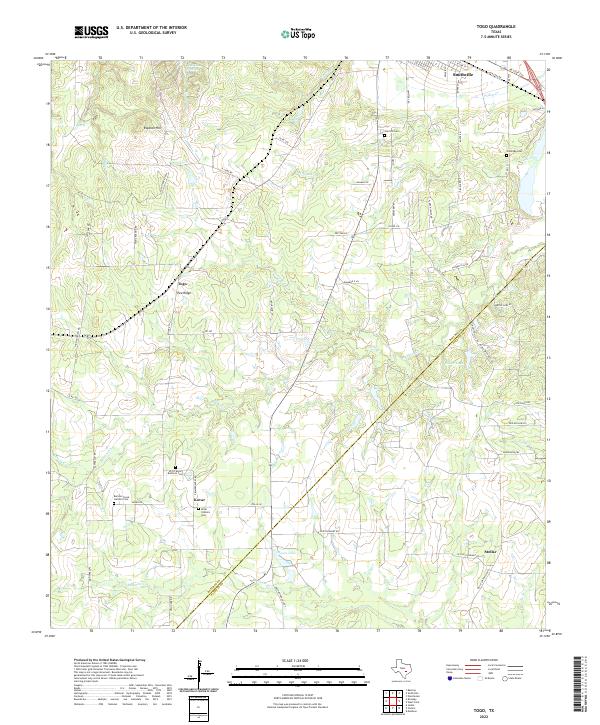 2022 Togo2022 Print · USGSCrossing the Bastrop and Fayette County line in the early twenty-first century, this area reveals a landscape of established family farms and small communities. Researchers can locate specific family burial grounds including SPJST Kovar Brethren Cem and Oak Hill Cem, or trace the winding paths of Buckners Cr and Bartons Cr.
 - 2022 Map of Flatonia NW, 2022 Print
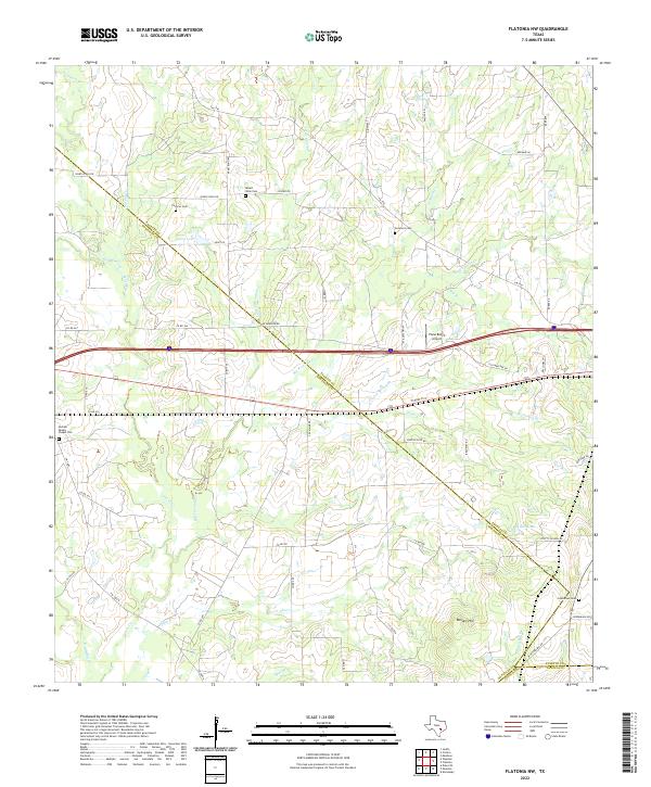 2022 Flatonia NW2022 Print · USGSThe intersection of Fayette, Gonzales, and Lavaca counties comes alive in this 2020s study of rural Texas life and landscape. Genealogists can trace early homesteads through burial sites like Cochran Cem and Castleman Cem or follow the path of the Lavaca River.
 - 2022 Map of Flatonia, 2022 Print
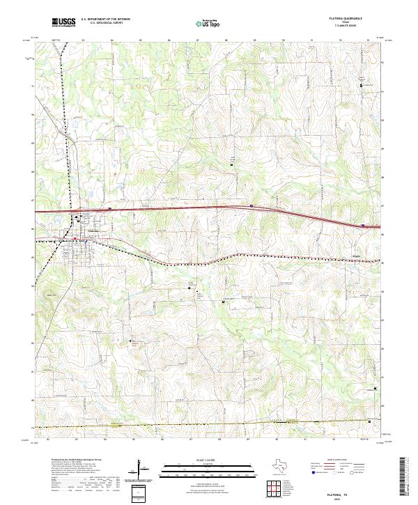 2022 Flatonia2022 Print · USGSTravel to south-central Texas in the early 2020s where the Fayette-Lavaca county line meets the crossing of major transit corridors. Genealogists can trace deep local roots at the Old Flatonia Cem, Praha Catholic Cem, and the rural settlement of Engle.
 - 2022 Map of Winchester, 2022 Print
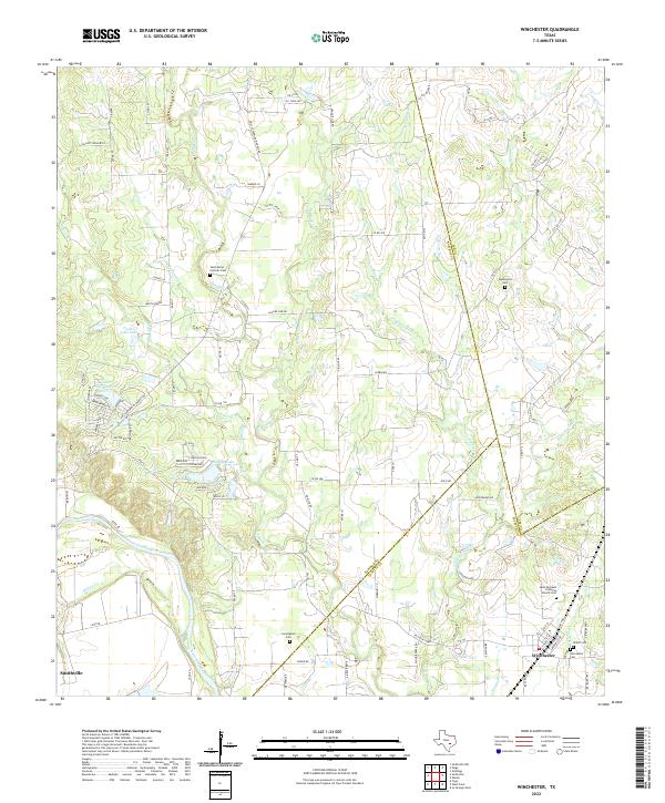 2022 Winchester2022 Print · USGSIn the early 2020s, the rural borderlands of Bastrop, Lee, and Fayette counties remain a landscape of family ranches and quiet creek valleys. Genealogists can trace local history through numerous sites like Winchester Cemetery, Cunningham Cemetery, and the Saint Marys Catholic Cemetery.
End of results
Showing maps 1-24 of 24
Top cities of Fayette County
- La Grange historical maps
- Schulenburg historical maps
- Flatonia historical maps
- Fayetteville historical maps
- Carmine historical maps
- Ellinger historical maps
See more
Frequently asked questions
- What are the different types of historical maps available for Fayette County?
- What is the oldest map of Fayette County?
- Where can I purchase historical maps of Fayette County for my home or office?
- Where can I download high-res historical maps of Fayette County?
- Are there historical topographic maps available for Fayette County?
- Is there historical aerial imagery available for Fayette County?
- Where are historical maps of Fayette County sourced from?